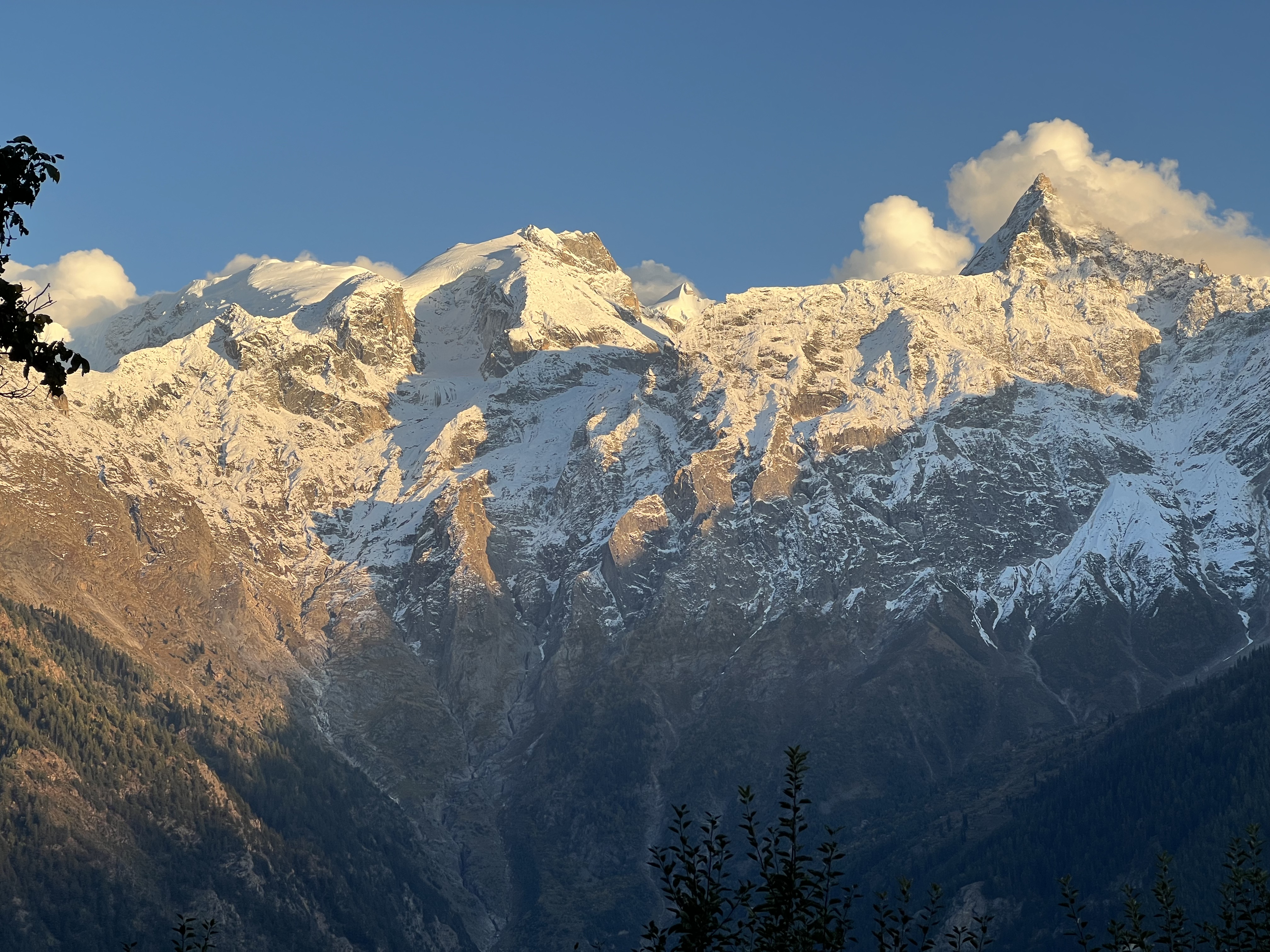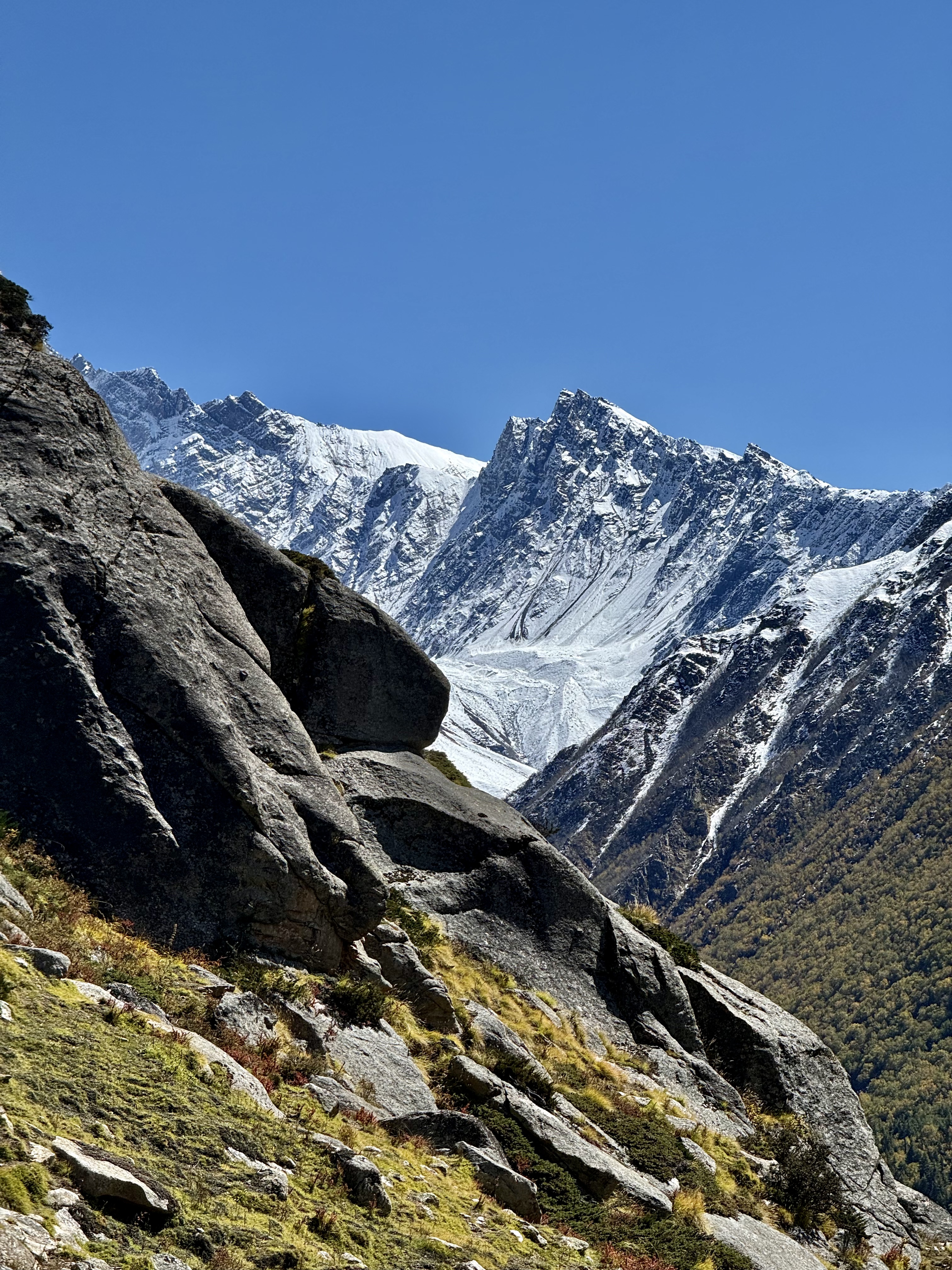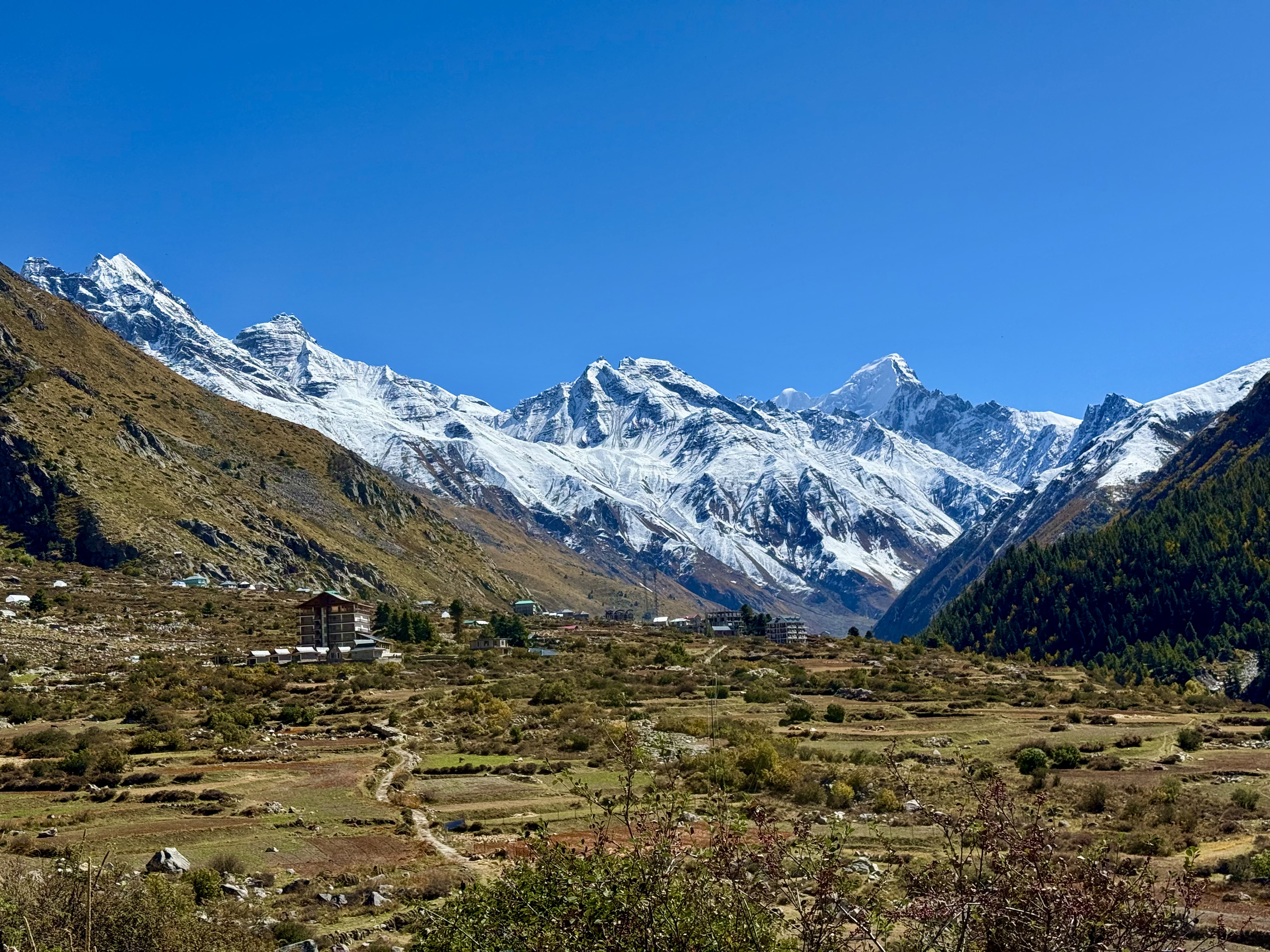
I was looking forward to finally seeing the Chinese border section of Himachal with its magnificent Buddhist monasteries and incredible mountains. The weather was also predicted to be good, which is important in this region. The flight from Vienna was luckily uneventful and the connection in Delhi to Chandigarh went smoothly. Tanzin and the Suzuki Jimmy that was to take us on our journey met me at the airport. It turns out this was Tanzin’s first time going to the Kinnaur valley as he normally is a taxi driver in Manali, but his brother, who was supposed to be my driver, got called for another assignment. So, the first part of our trip will be a new experience for us both.
We headed out of Chandigarh amid bumper-to-bumper traffic, and it wasn’t even rush hour. The horde of cars and trucks didn’t disperse until we left the Punjab plains for the Kinnaur hills and mountains. Our destination for the night was a town a few hours after Shimla, Narkanda, which is on the old Hindustan Tibet Road, now called National Highway 5. The town is at about 3,000m above sea level. Between the traffic, stops for road clearing and construction, and the tight mountain roads what was supposed to be around a 4–5-hour journey took close to 7, which meant we arrived at the Tethys Ski Resort after dark. This hotel is on a steep slope with pine trees surrounding it. Down below and off to the side were orchards where the trees were covered in plastic to protect them. At first, from a distance they looked like snow patches, but were in fact protection from it. Looking around the next morning when I could see the area, I couldn’t locate any ski slopes. This was confusing as the hotel’s name says it is a ski resort. It turns out, there are no ski slopes nor is it a resort. What they do in the winter to warrant the name is drive guests to a cleared patch on the mountain for them to ski down and a car will take them back up. I’m not at all sure that I would want to take a car in the icy snowy winter on these tight narrow windy roads. Narkanda didn’t seem to have much to offer other than a view of the green mountains all around.
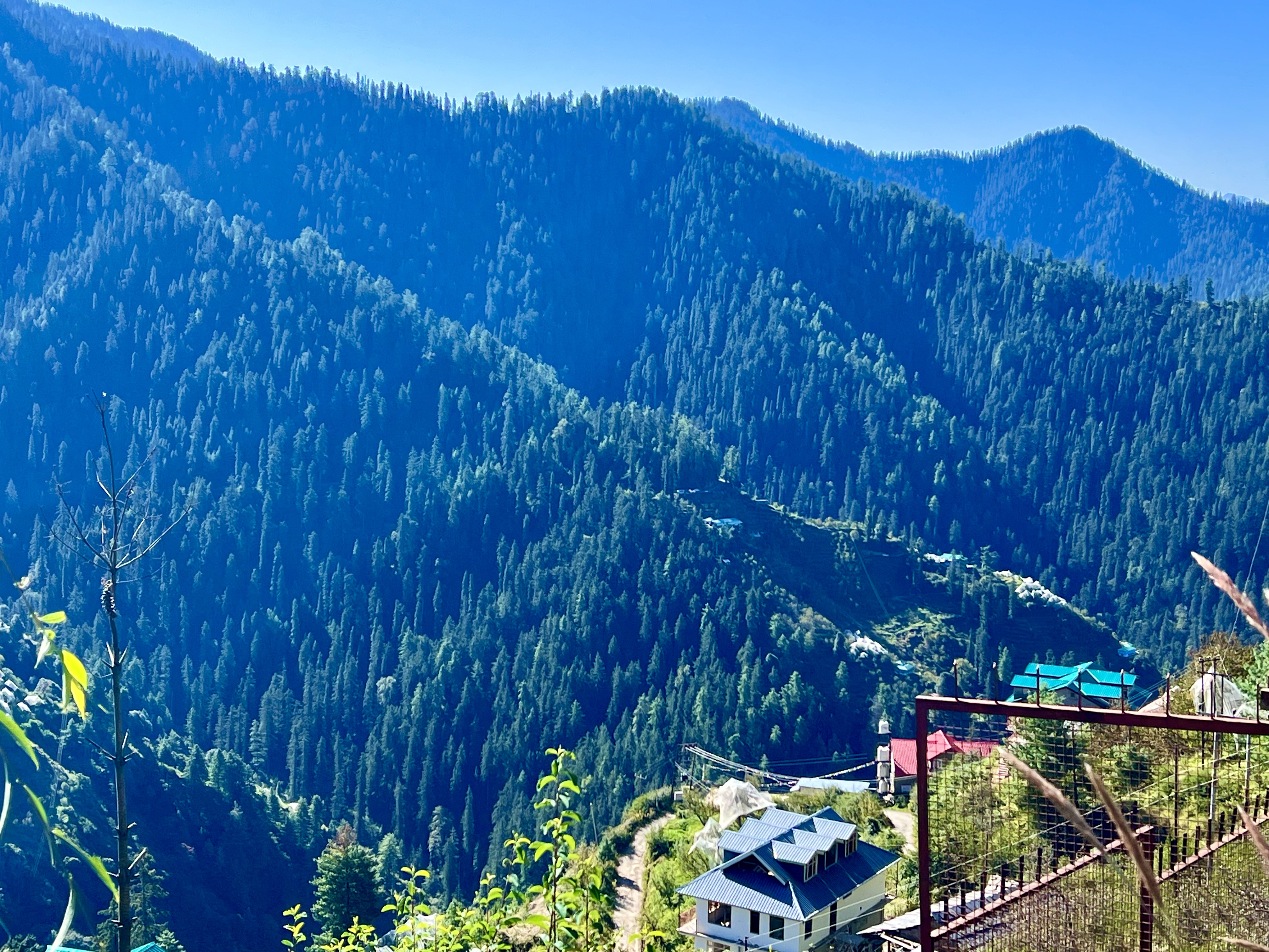
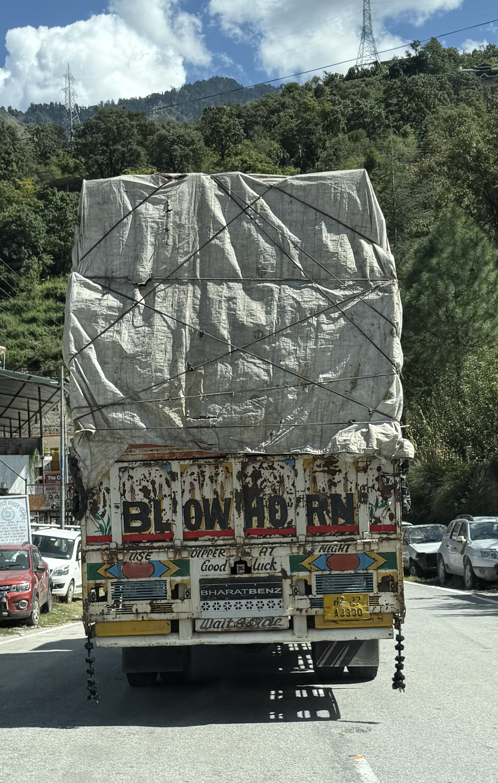
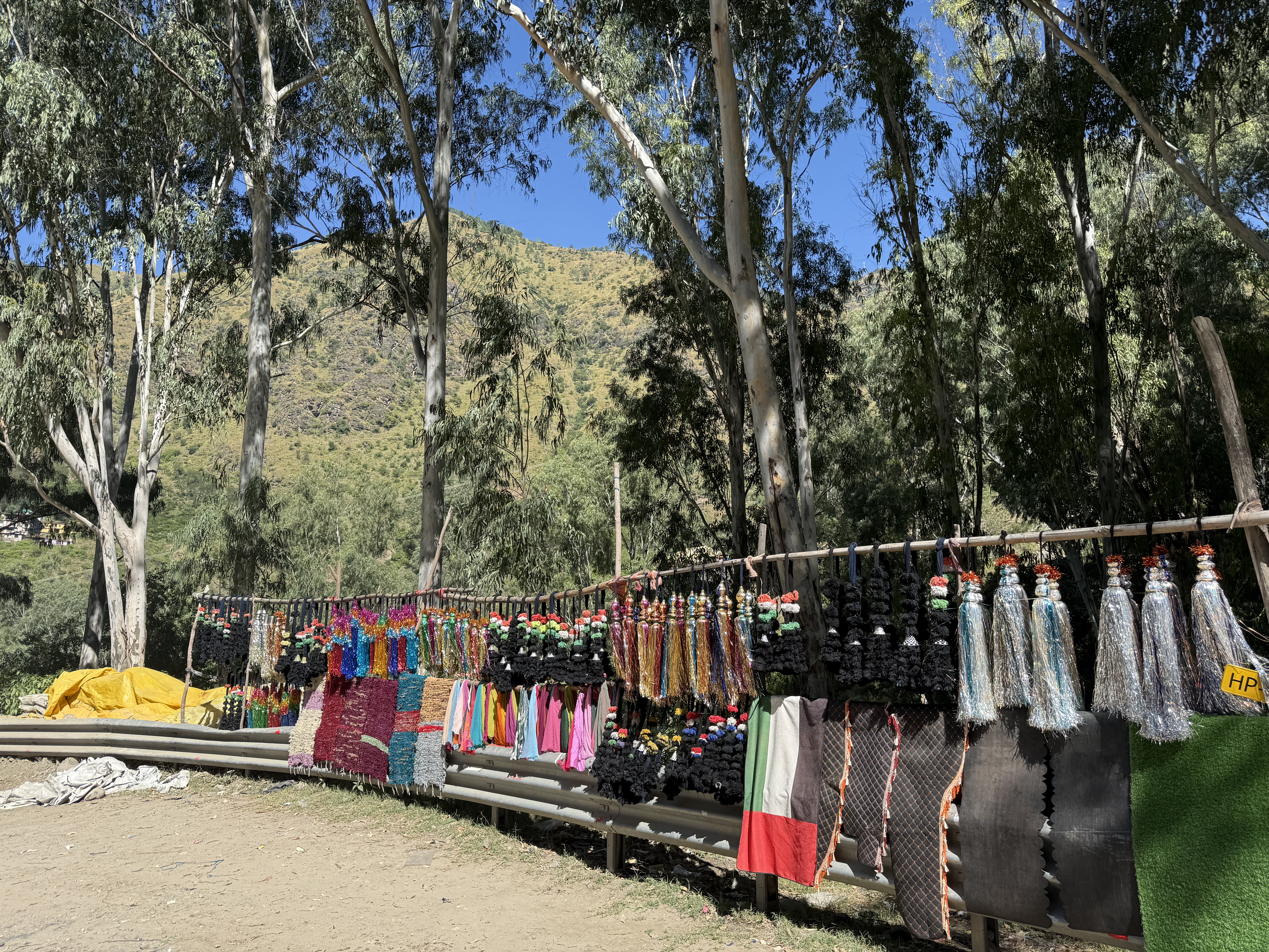
We left Narkanda, which is still in the Shimla governance region around 9:30 the next morning heading towards Sangla and Betsari in Kinnaur. The day was beautiful – sunny skies, warm and the views from the road were glorious, snow-capped mountain peaks above green hued mixed forests with small villages with orchards dotting the landscape below. Trucks painted various colors with tassels hanging down from the back were among the many vehicles Tanzin wove ahead of in order to keep us moving. He mentioned that the truck drivers often have a close relationship with their vehicles and that the tassels are purely for decoration to make them more attractive.
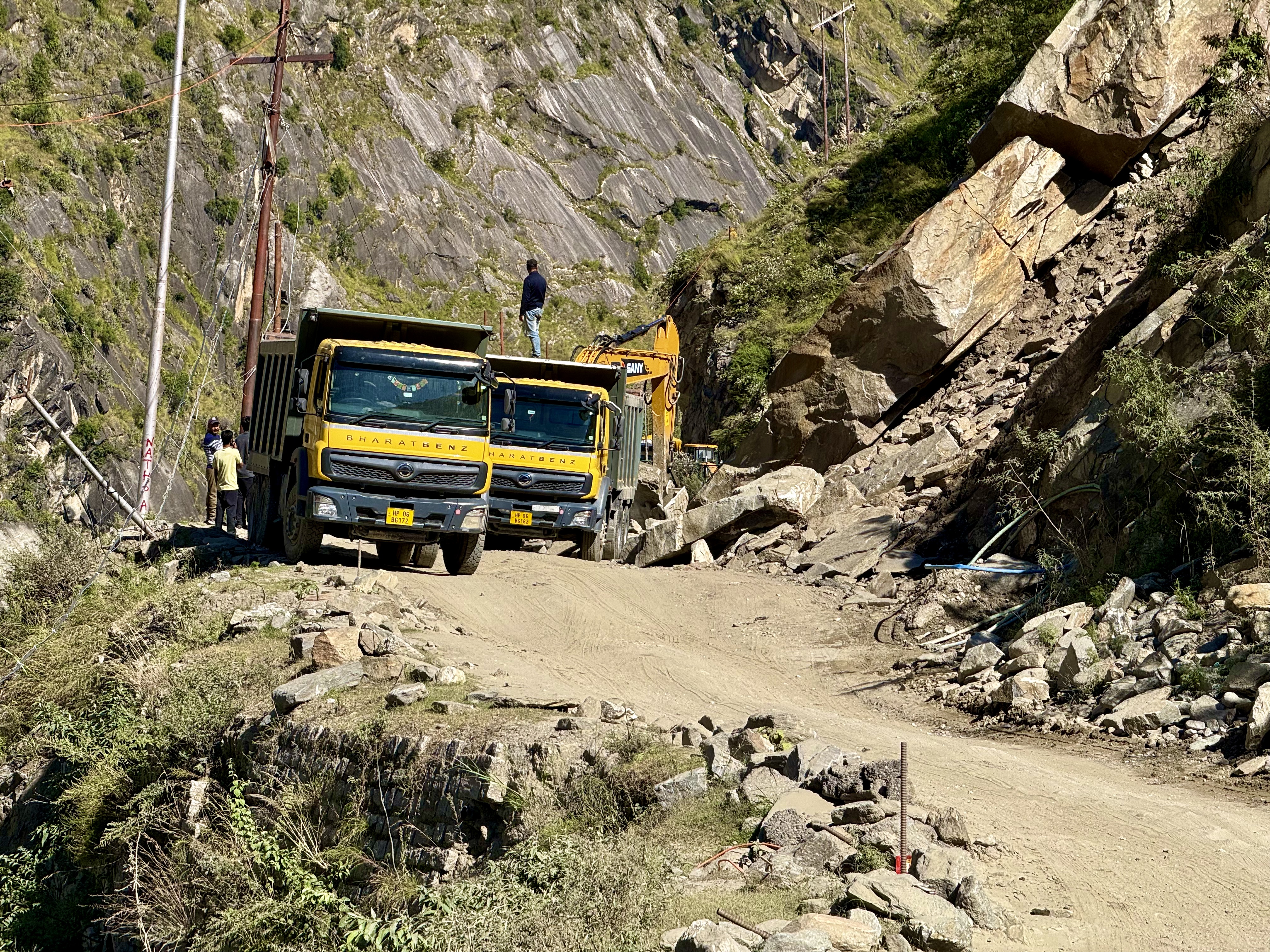
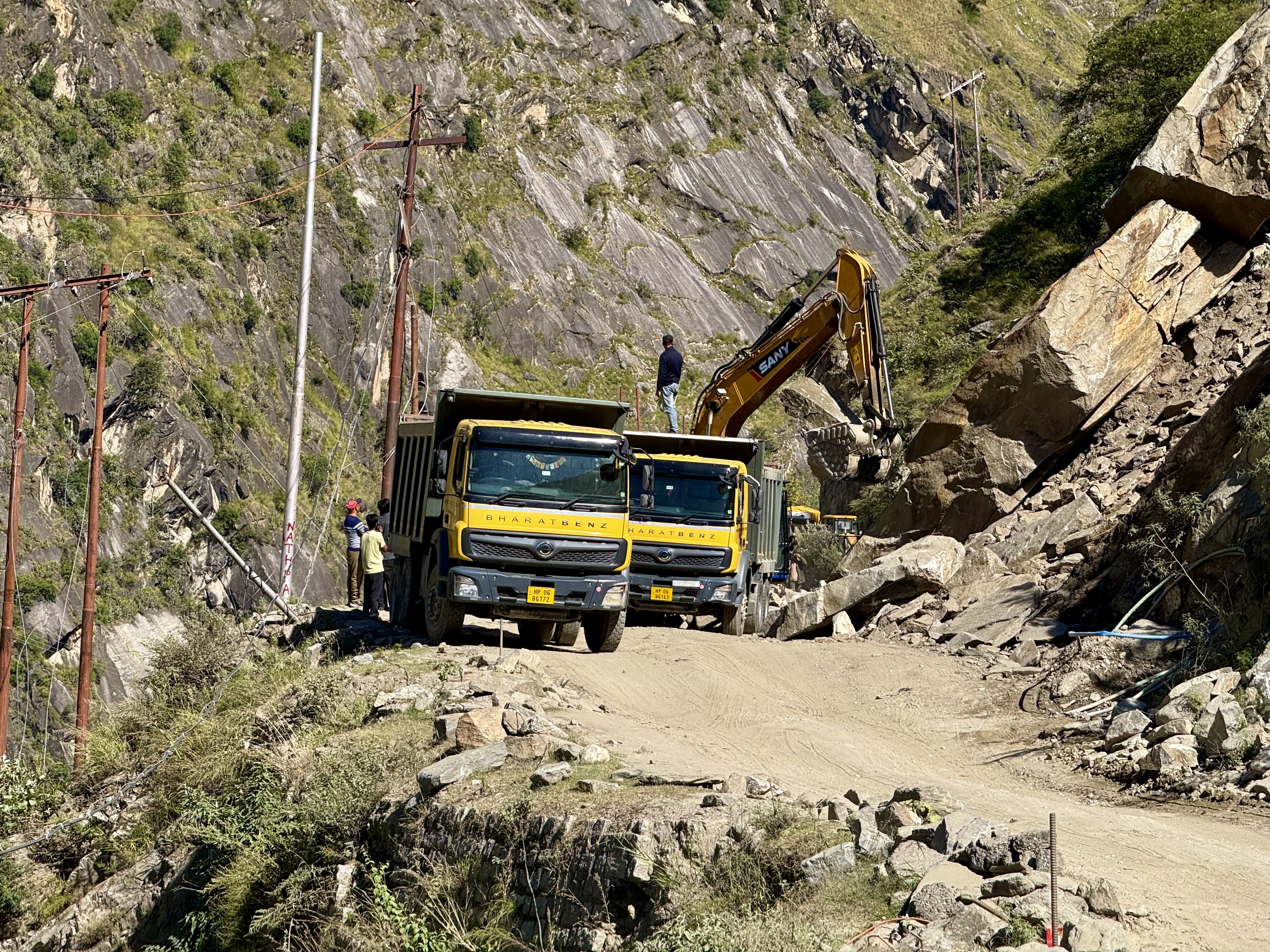
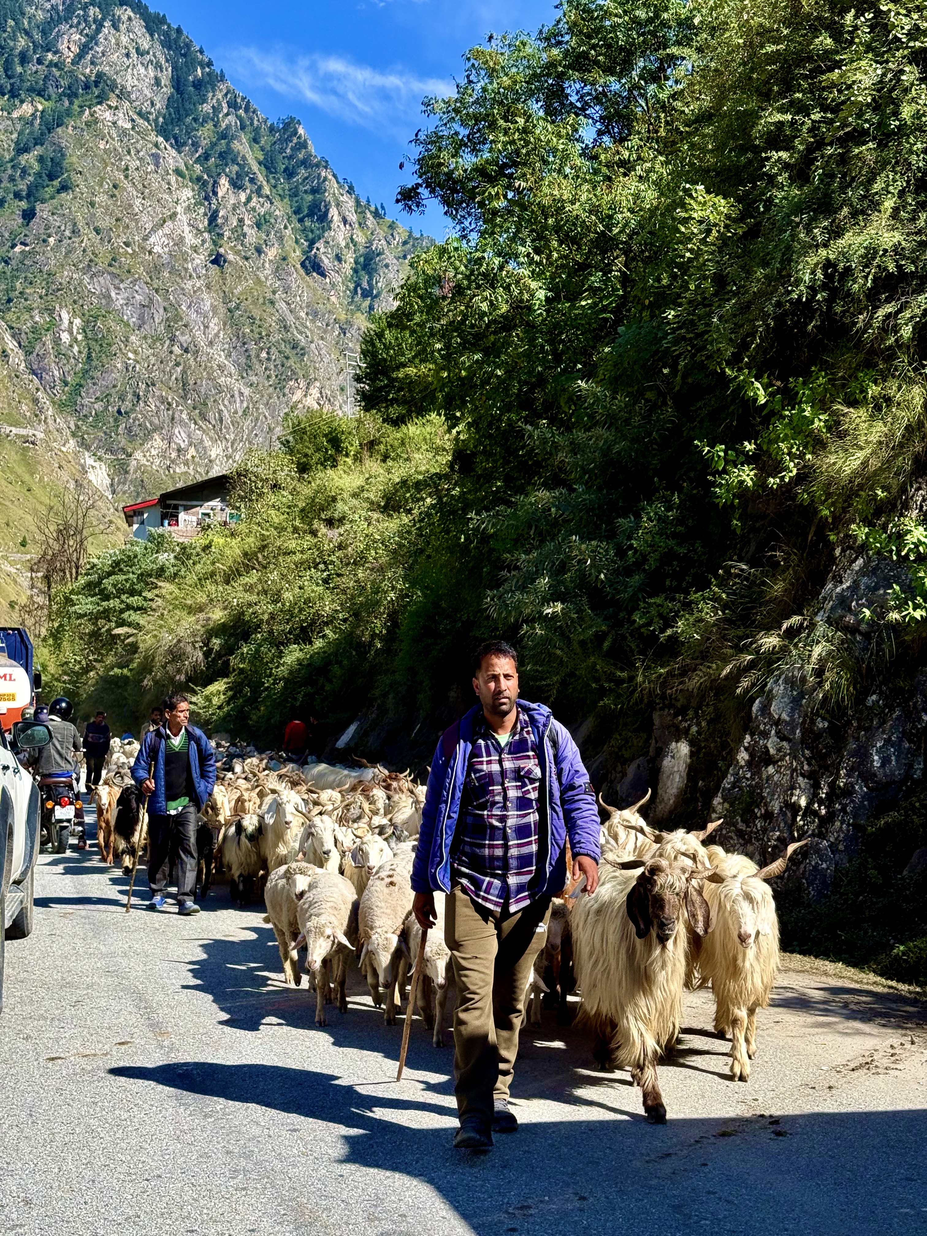
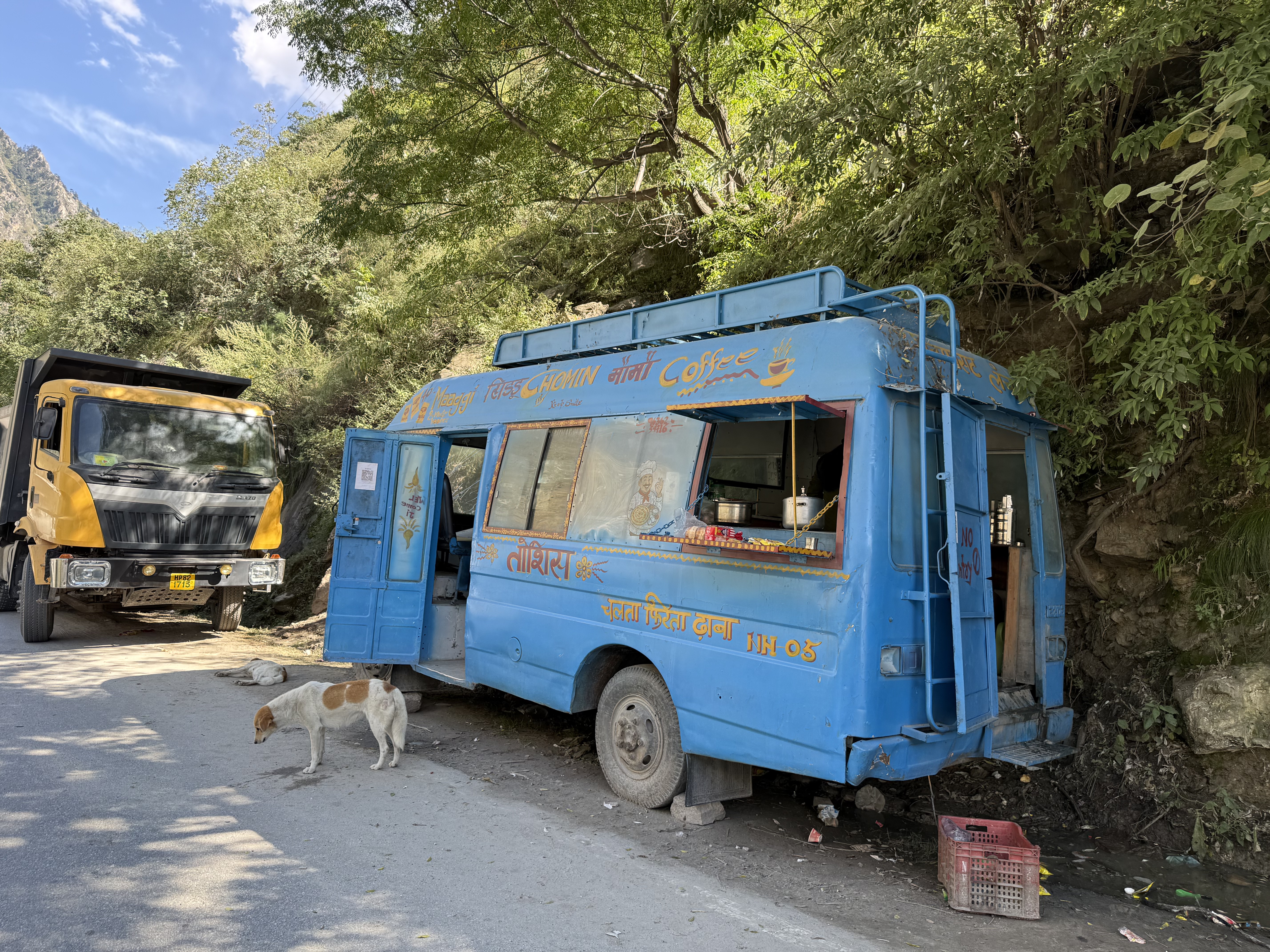
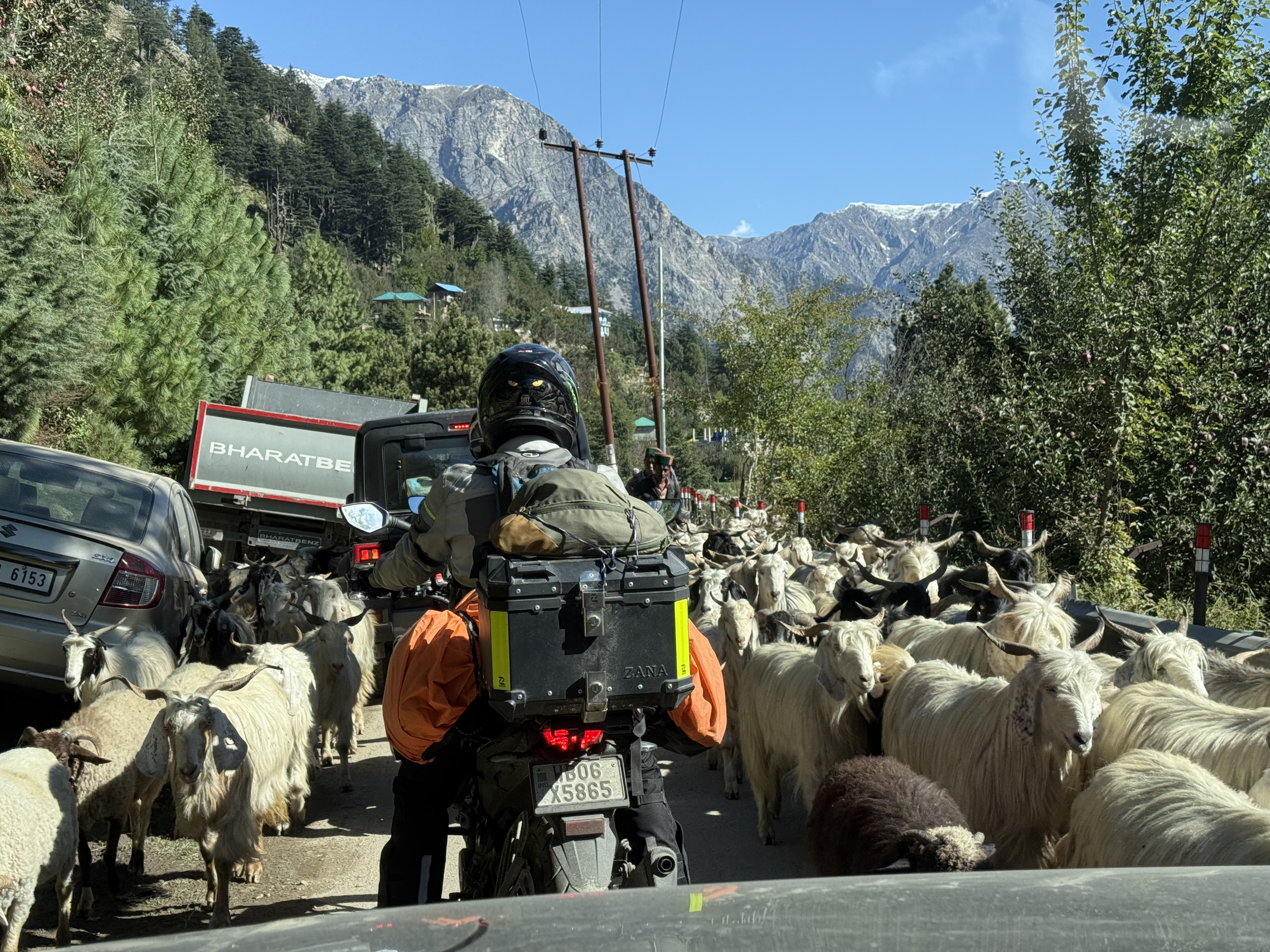
Our anticipated travel time of around 6-7 hours was again delayed, this time in addition to the previous issues, the National Highway 5 was closed in a couple of spots for lengthy periods of time so that crews with huge machinery could remove large trailer truck sized boulders from the path. Landslides are happening in Himachal Pradesh as well as in Nepal! I was just grateful that none of the boulders landed on us. At the second major delay, a whole herd of sheep and goats came strolling by and a coffee/tea truck set up business on the side.
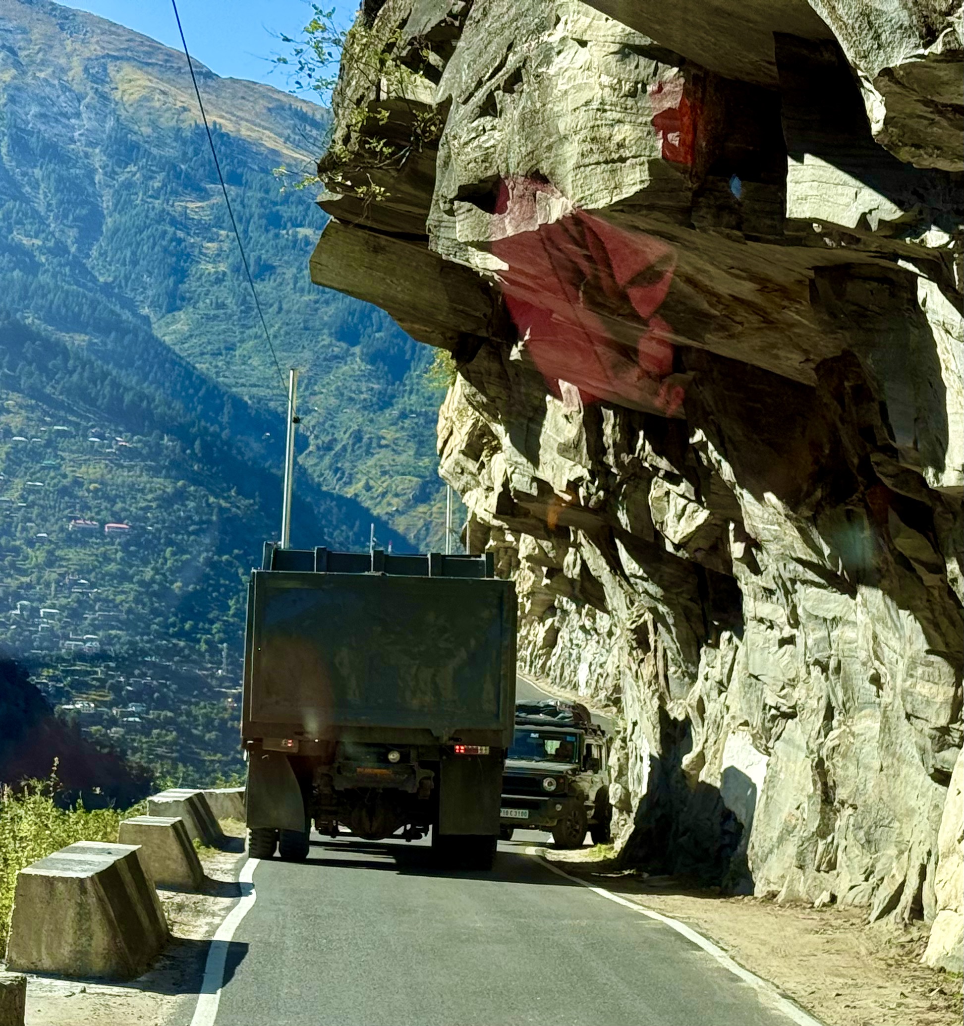
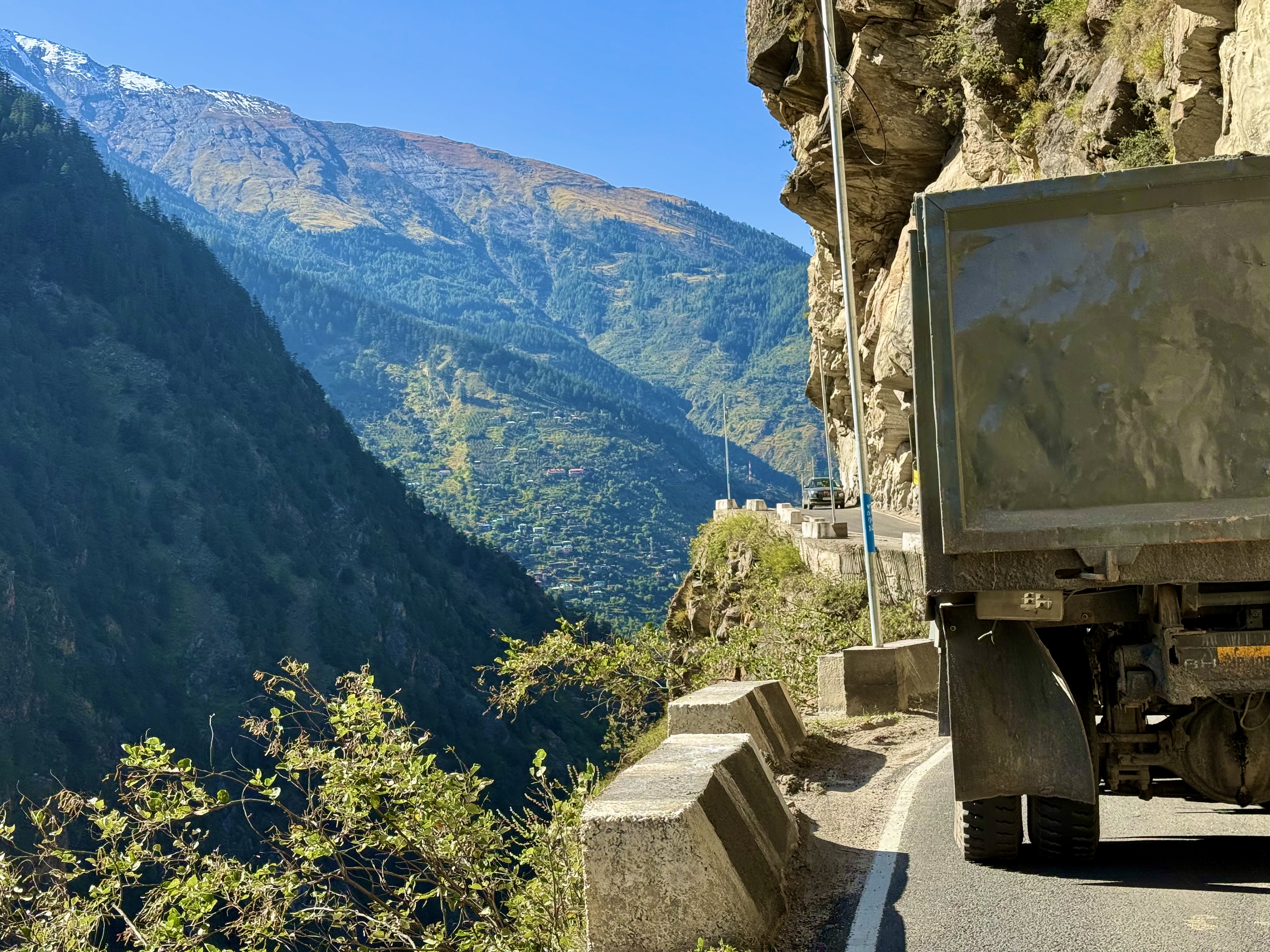
Once we were back on our way we passed by the Karcham Dam, which provides power not only to this province but to a few others as well. A little after passing the dam, we crossed a bridge that led to – what was for me at least – a terrifying climb on what is basically a one lane blind hairpin turns road with two way, including trucks, traffic at speeds that are bordering on flight. Once we arrived near a sort of plateau and the road more or less leveled out, the blind hairpin curves hugging the side of the mountain didn’t stop, nor did the speed or two-way traffic. In places there were rock overhangs like an umbrella over the road and on the other side a sheer cliff, probably a 1,000 m straight down. The only blessing was that the one lane had just recently been paved, so at least we weren’t on pot-holed gravel. That changed shortly before reaching Sangla. The rutted gravel streets were clogged with cars and trucks throughout the town. We only stopped once to use the restroom as it was getting late, and we wanted to get to the hotel in Betsari before it got dark. The best laid plans once again went awry as on the way out of town the asphalting crews were working and had shut down the road for another half hour. Luckily, we were right be a café, so we parked and went in for a chai. The newly asphalted portion was a welcomed relief, as the road continued to be curvy with innumerable blind spots and quite frankly dangerous.
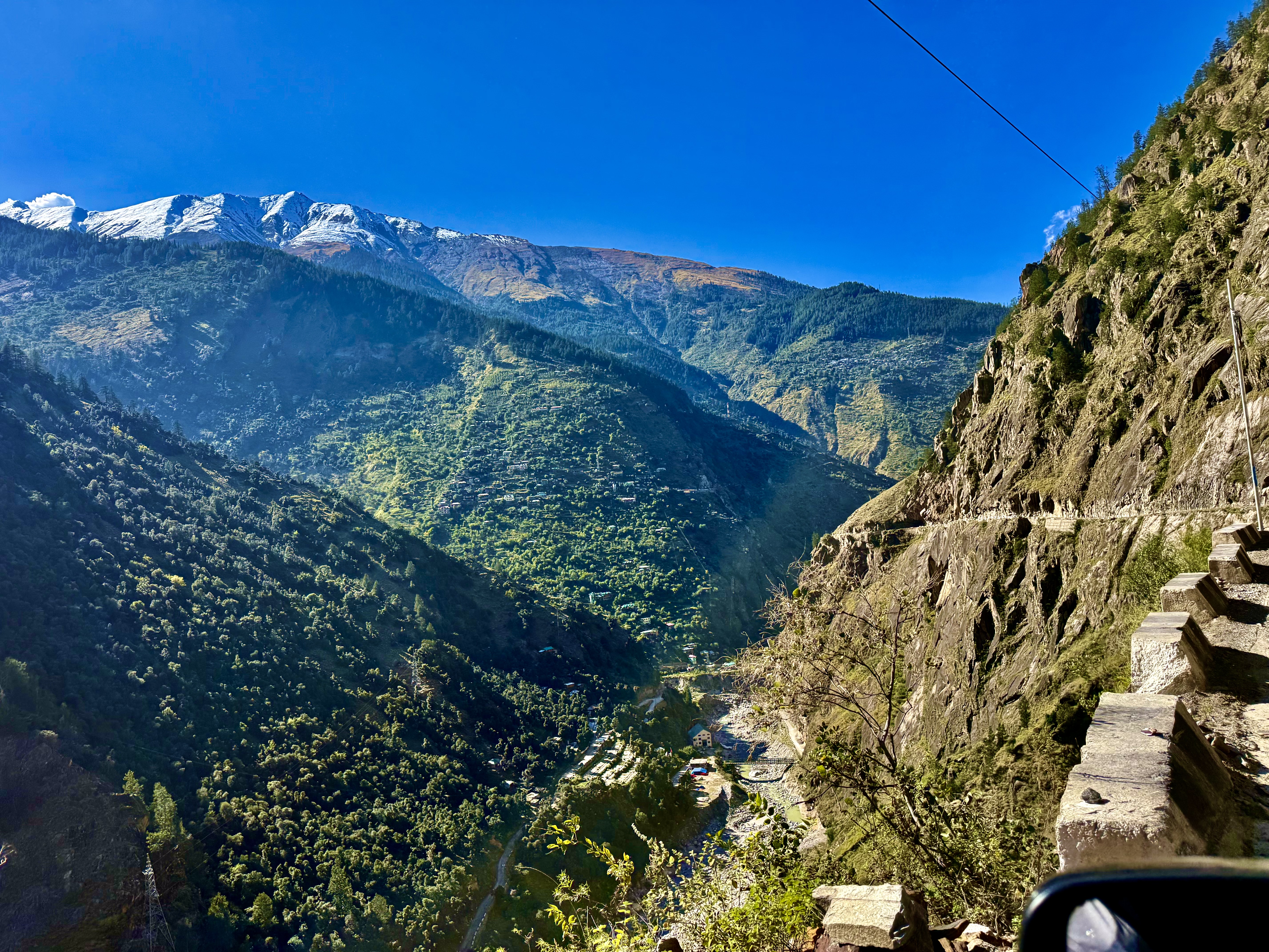
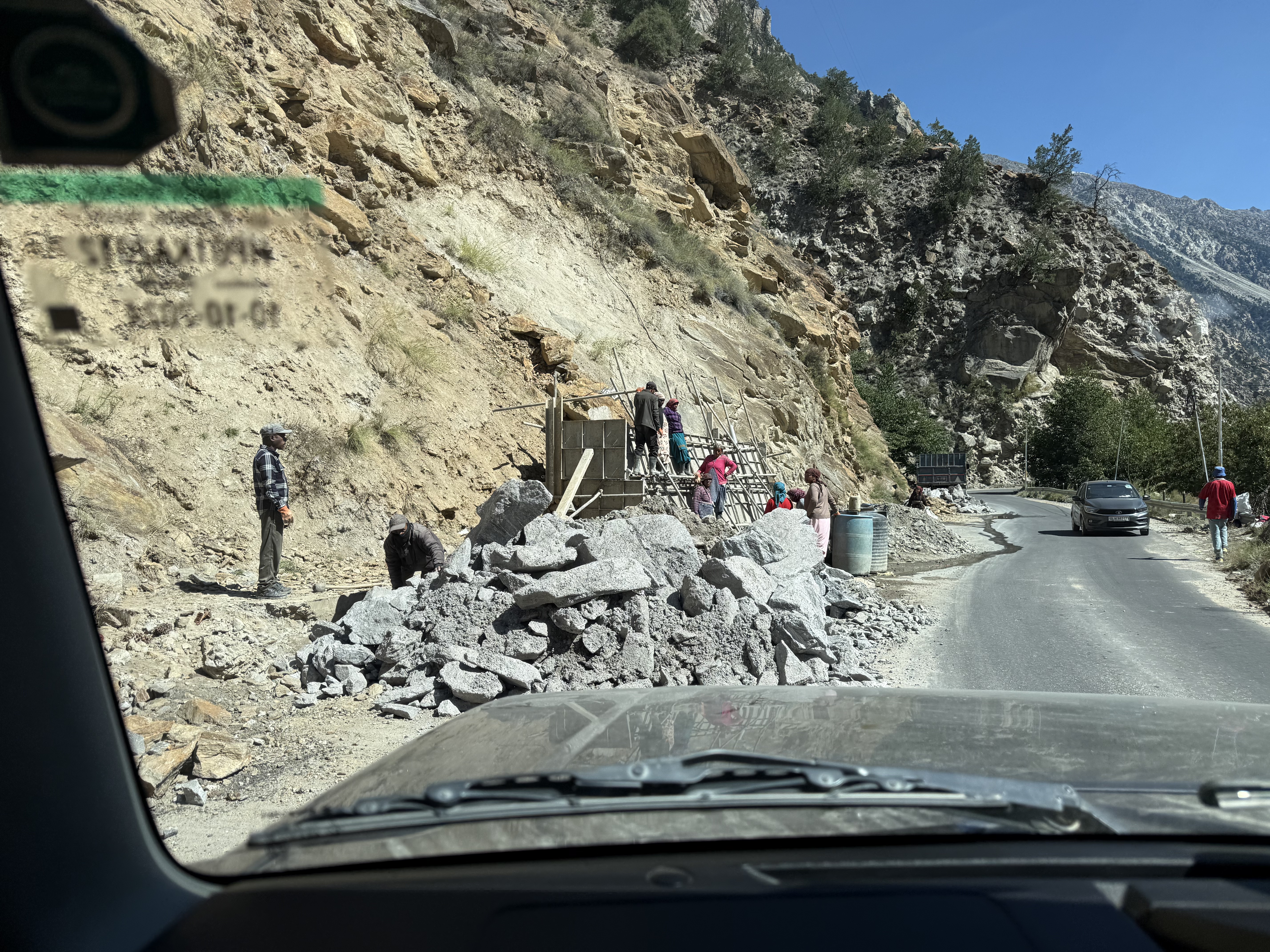
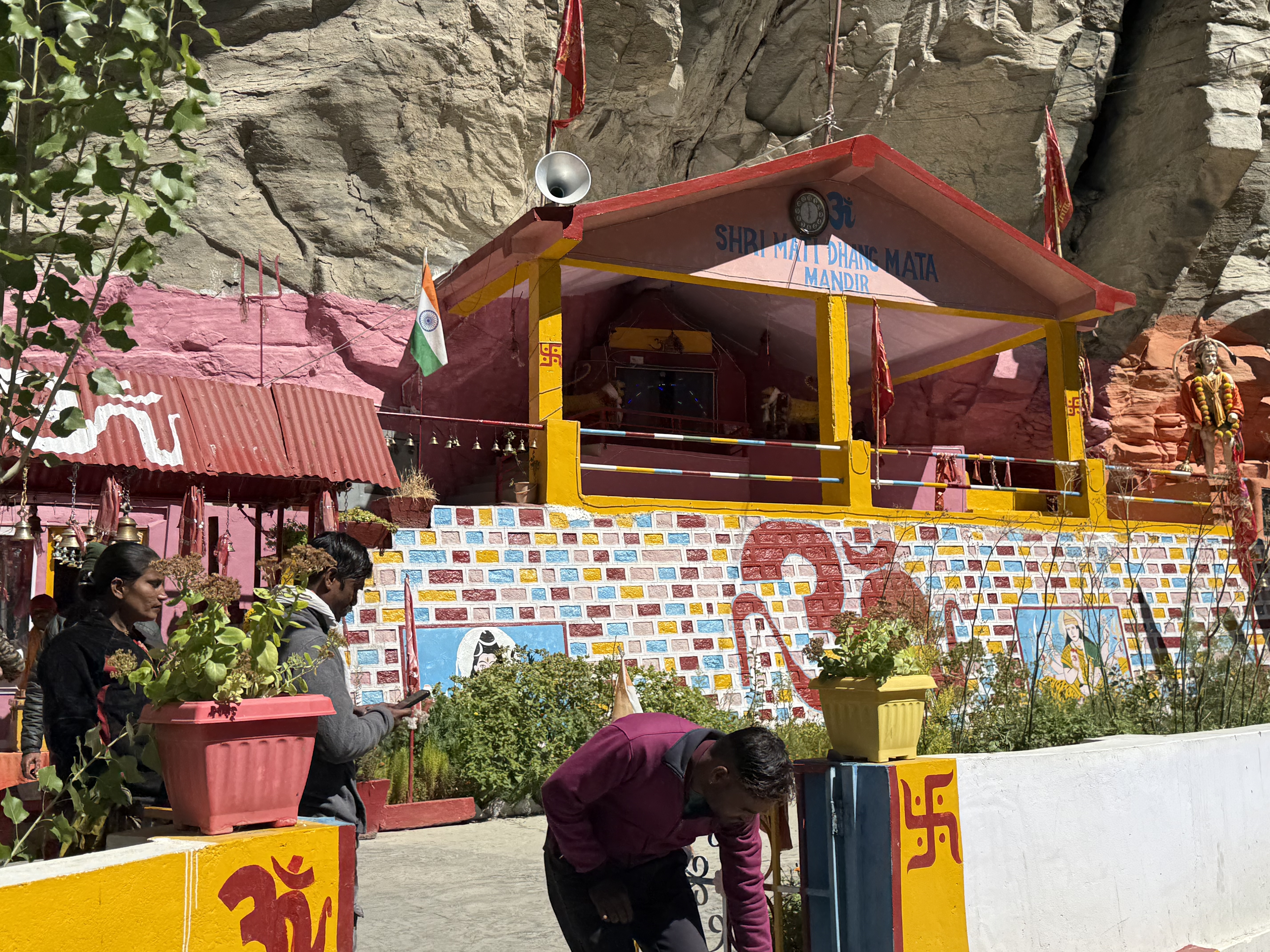
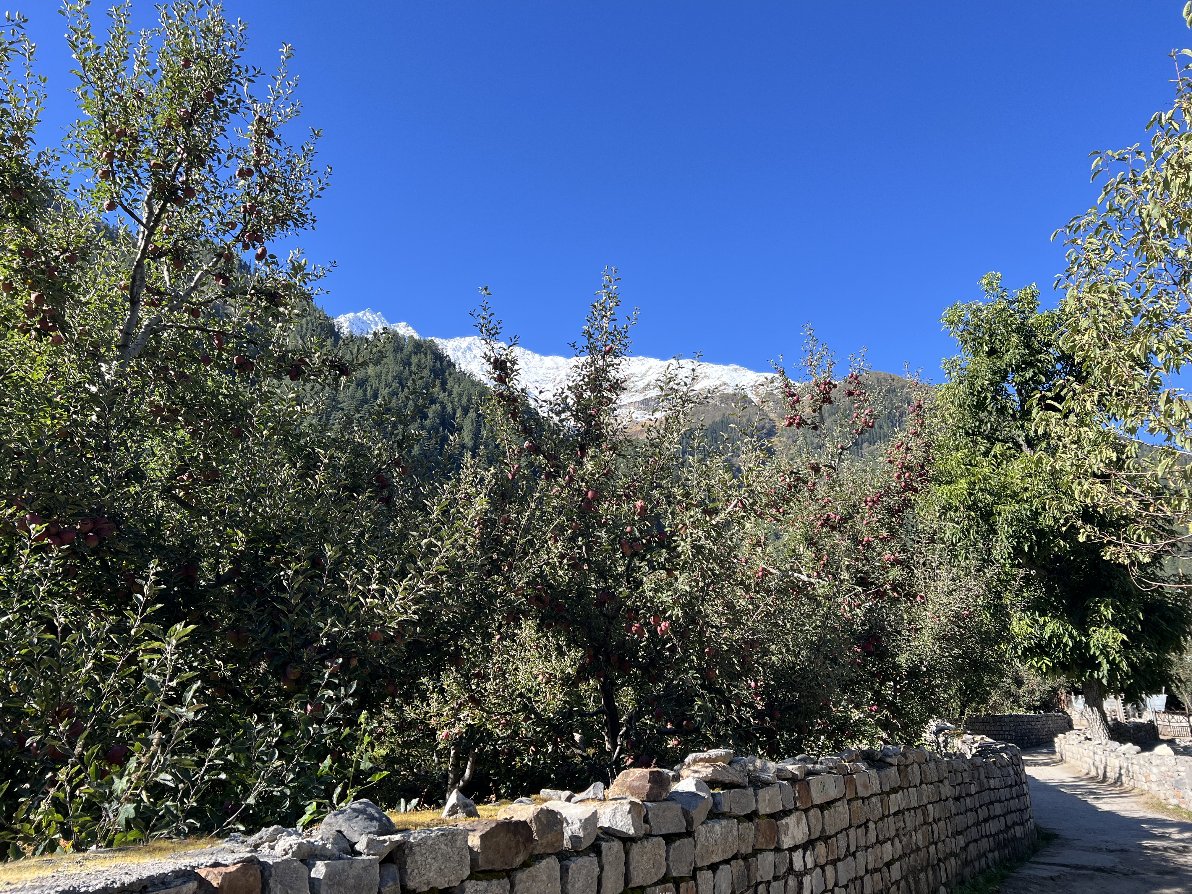
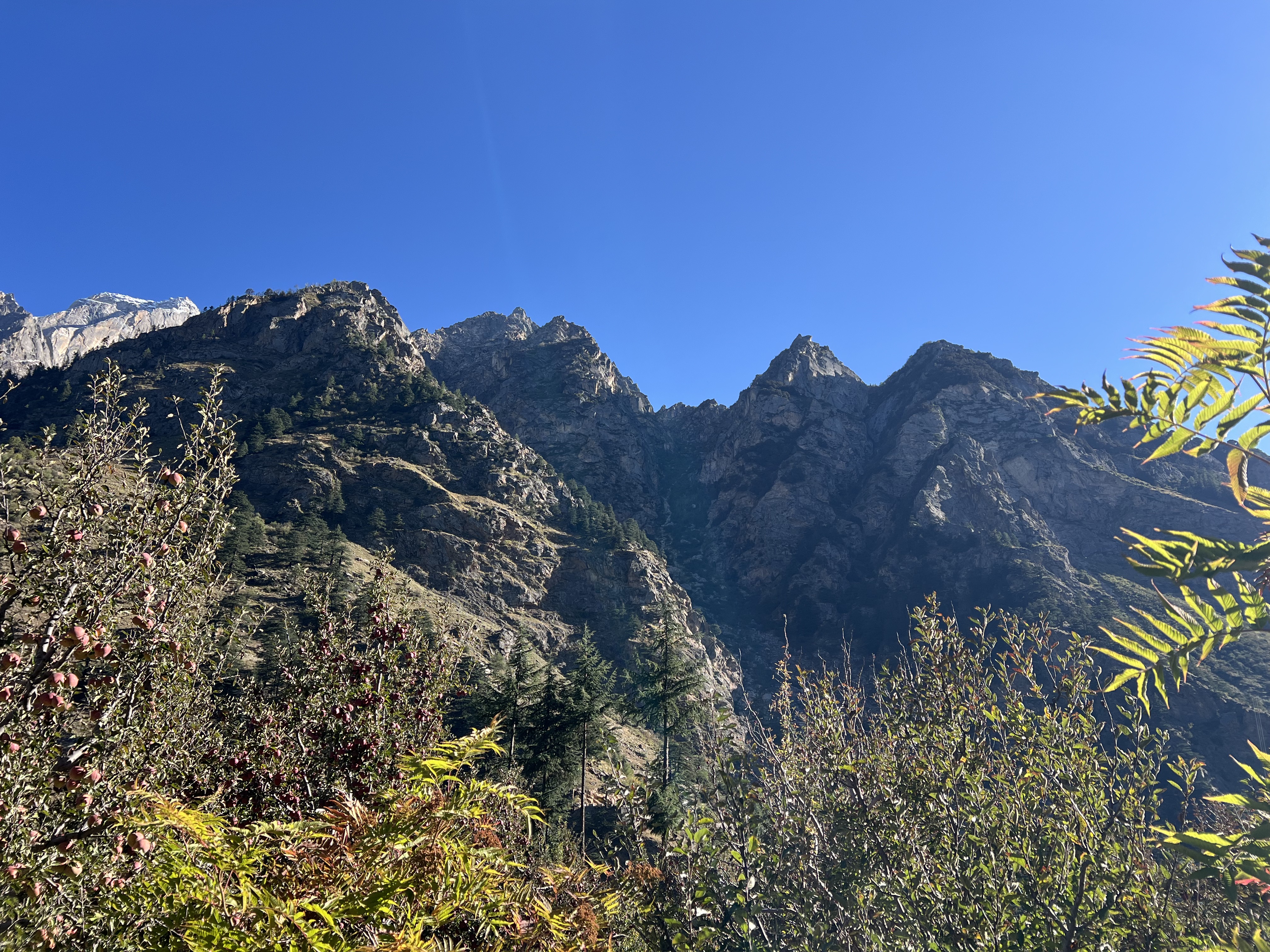
By now, after two days of almost non-stop driving, I was seriously questioning my intentions for coming here. I had originally wanted to start the tour in Manali and just do the Spiti Valley, but the tour agency argued against that because coming from Kinnaur to Spiti allows one time to acclimatize. After looking at what I might miss, namely Kinner Kailash in Kalpa and Chitkul, I bowed to the tour agency’s wisdom. But up to now, I hadn’t seen a temple nor a monastery, I’d only seen traffic and scary roads. The road from Sangla to Betsari was no different, but once there my attitude improved considerably. The Hotel Betsari is stunningly located with apple orchards in the back and the Baspa River in front with towering mountains all around. Once we had parked, hotel staff came to take the luggage and Kevin, who functions as a host, walked me along a delightful path to the hotel. Kevin has an MBA from Oxford but is taking a break from ‘real life’ to explore. I asked him about the temple that was supposed to be in the area, and he graciously said he’d take me there. After checking in and getting the luggage organized, I met him in the lobby and off we went. The temple is only about a 10 minute walk from the hotel and it is amazing. On our way, Kevin pointed out four peaks above us and mentioned that the locals believe that these are the four mountains Hanuman took with him to Sri Lanka. Many of the local shrines are dedicated to Hanuman.
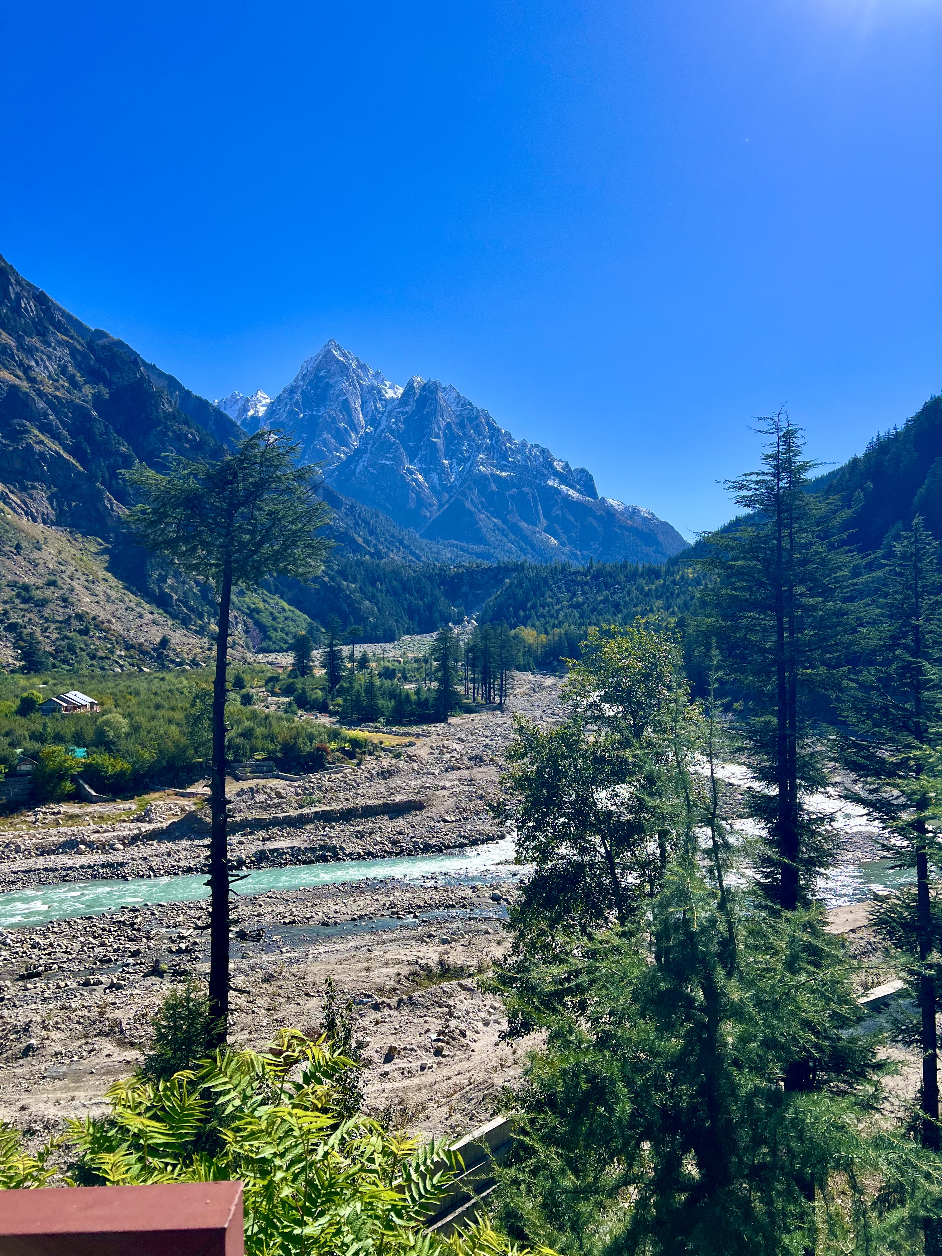
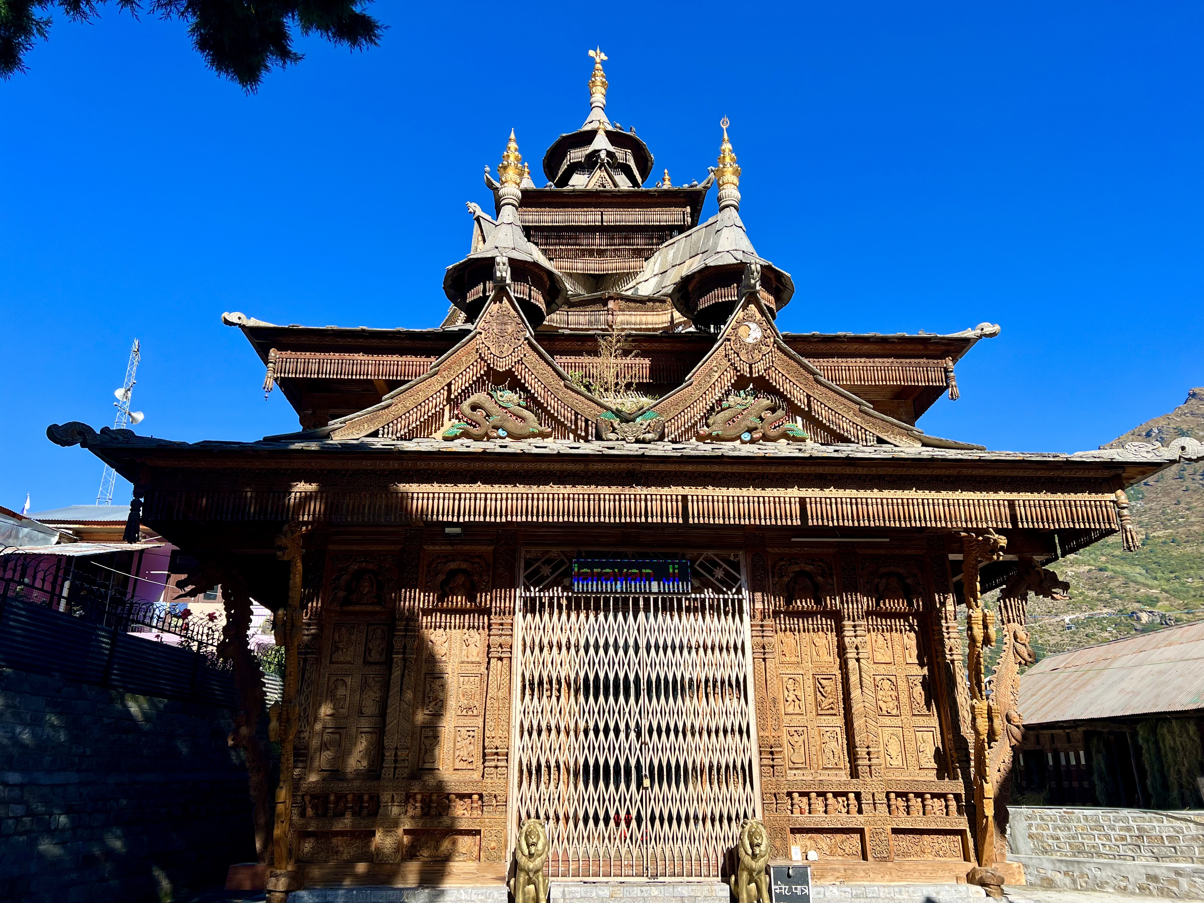
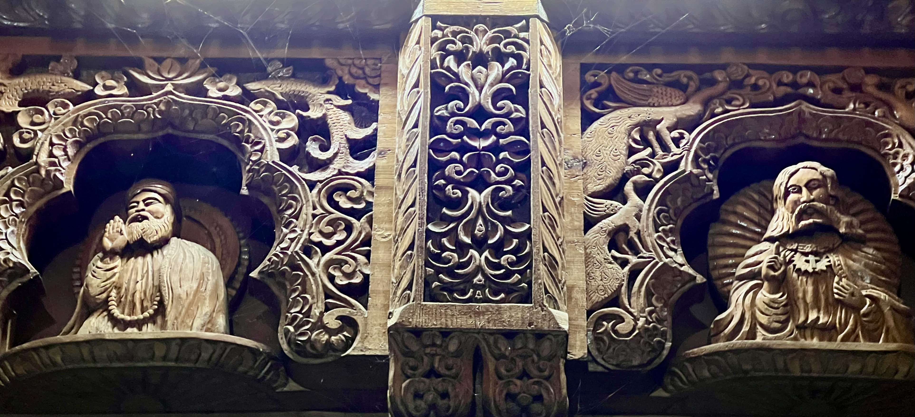
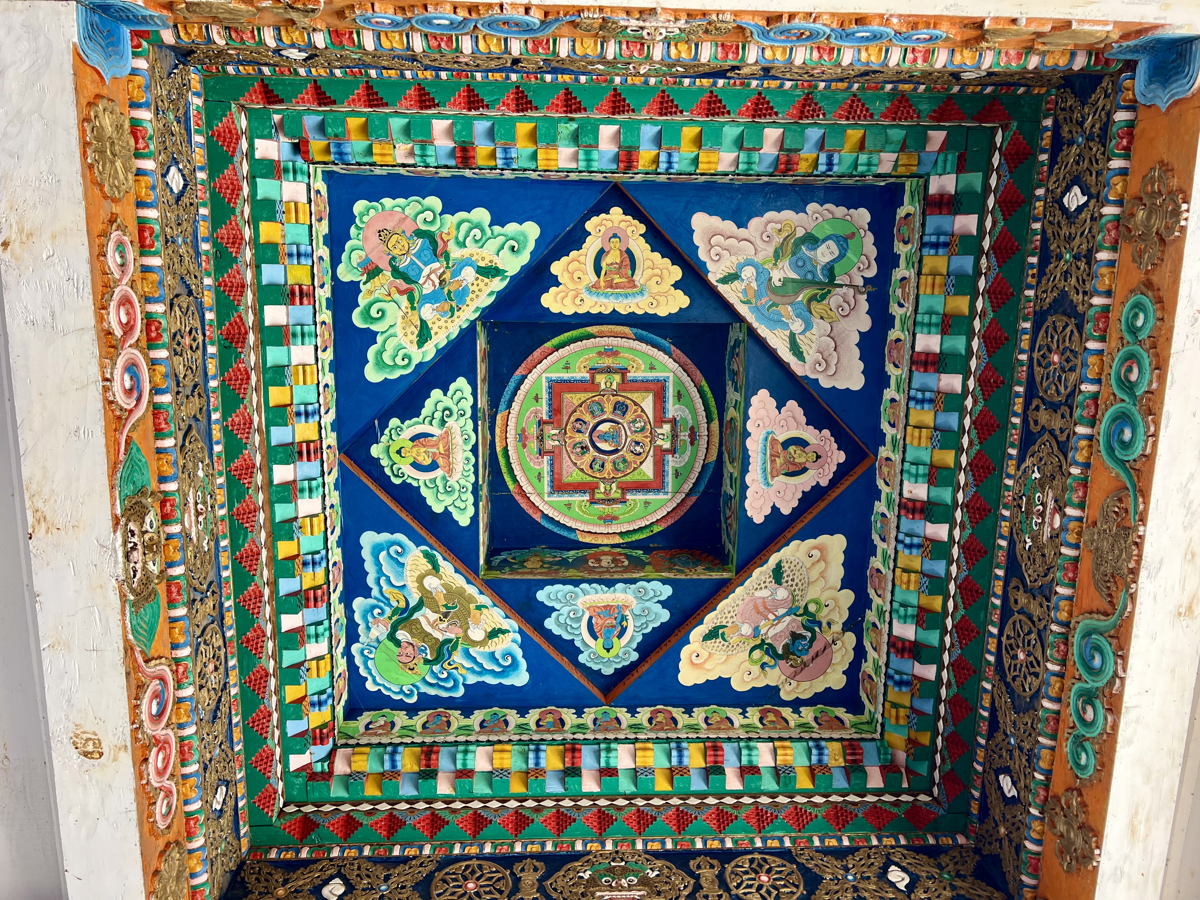
The Badri Narayan Ji Temple was originally constructed 400-500 years ago, but that building burnt down in 1998 and a new one was relatively recently built. The icon inside the building wasn’t damages so the villagers vowed to rebuild. It took them four years to redo the complex and their mastery in woodworking is evident throughout the site. Just in front of the entrance gate there is a passageway with Buddhist images and a mandala on the ceiling. The temple complex itself starts with an outer temple with intricate wood carved Hindu images. Going down a few steps, one comes to the center of the complex, with a building off to one side lined with musical instruments that are used in the ceremonies. The entrance to the main temple, which was closed, has carvings on the outer walls that include figures from other religions. I was amazed to see images of Buddha, Christ, Guru Nanak (founder of Sikhism) and Mahavira (founder of Jainism) above the side panels with Hindu images. As it was dark and I couldn’t see the panels very clearly, I returned the next morning. Then, it was easy to make out reliefs from the Ramayana, Mahabharata and even the Kama Sutra, in addition to the founding fathers of various religions, and Shiva and Saraswati. This temple, which wasn’t written about in any of the tour material that I could find, was amazing. I did find out that while the temple is dedicated to Narayan (a form of Vishnu), it is based on the idea that God is One and each religion finds its own way to the Universal. It was a very peaceful and genuinely spiritual space.
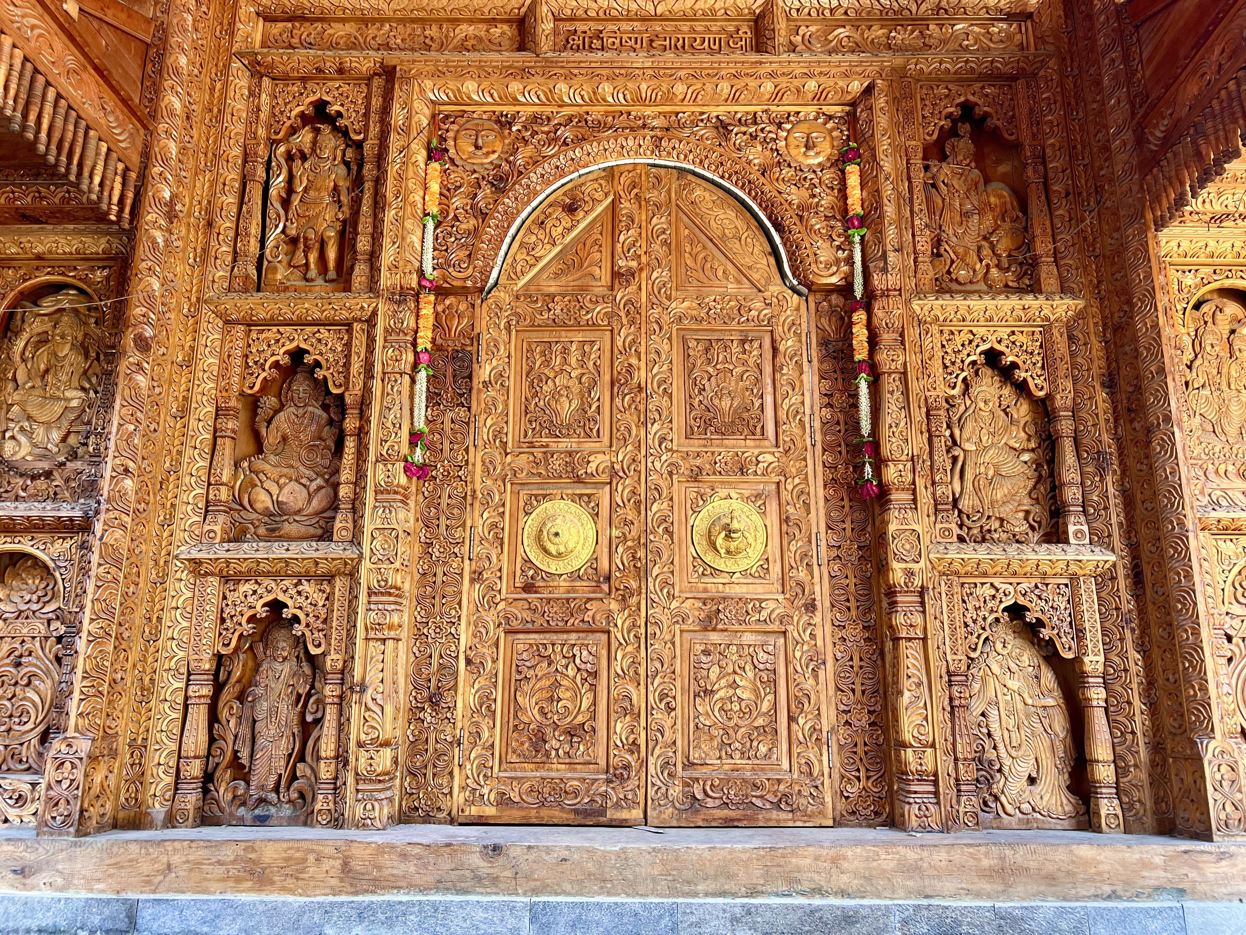
Wikipedia states that: “According to a local legend related to the origin of the Baspa Valley, the region was earlier submerged below a lake and under the influence of Narayan. The Nag Devta, preceding deity of Sangla, came to the area from the south, across the Chanshal range, and contested with the Narayan for the right to remain in the region. The Narayan and the Nag took form of a cat and a rat, respectively, with the rat burrowing a hole draining the lake thus winning the right to remain in Sangla.[3]” This perhaps explains why this temple is dedicated to Narayan and there is one in Sangla dedicated to the Nag.
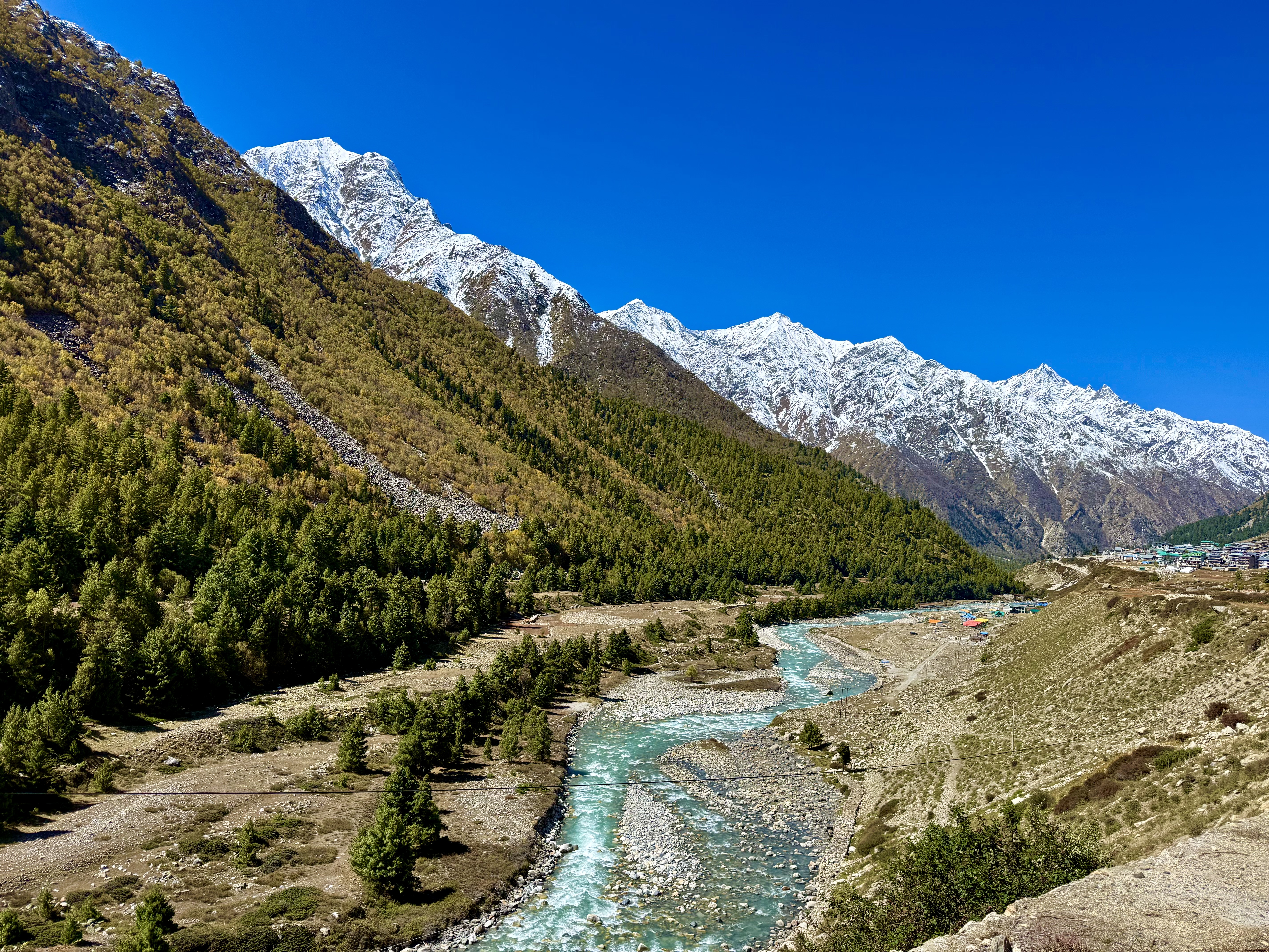
After my morning tour of the temple, Tanzin and I headed up to Chitkul, called the last village in India as it sits near the Tibetan border. I think they forgot about Gangtok, which is geographically considerably closer, but is in Sikkim on the northeastern side of the country. I had read that this was the most dangerous road in the country and wasn’t looking forward to anything more harrowing than the stretch we had been on yesterday, but there is only one way and one road to get to Chitkul, so off we went. It wasn’t good, but it wasn’t as bad as the stretch from the bridge to Sangla. As with many of the Himalayan roads, however, they are the price one pays for magnificent scenery. Chitkul, sitting at 3450m, is stunningly located. Just over the white snow-covered mountains at the end of the valley lies Tibet. Local legend has it that this was the first place Guru Rinpoche came to in India. There are three ancient towns in the region: Chitkul, Betsari, and Kamru. All have remnants of the older wooden architectural styles. In Chitkul there is a monastery, supposedly founded by Guru Rinpoche, and a fort with a Vishnu temple. They were interesting, but not as much as the one in Betsari. The walk on the hillside above the monastery, however, led to some incredible views.
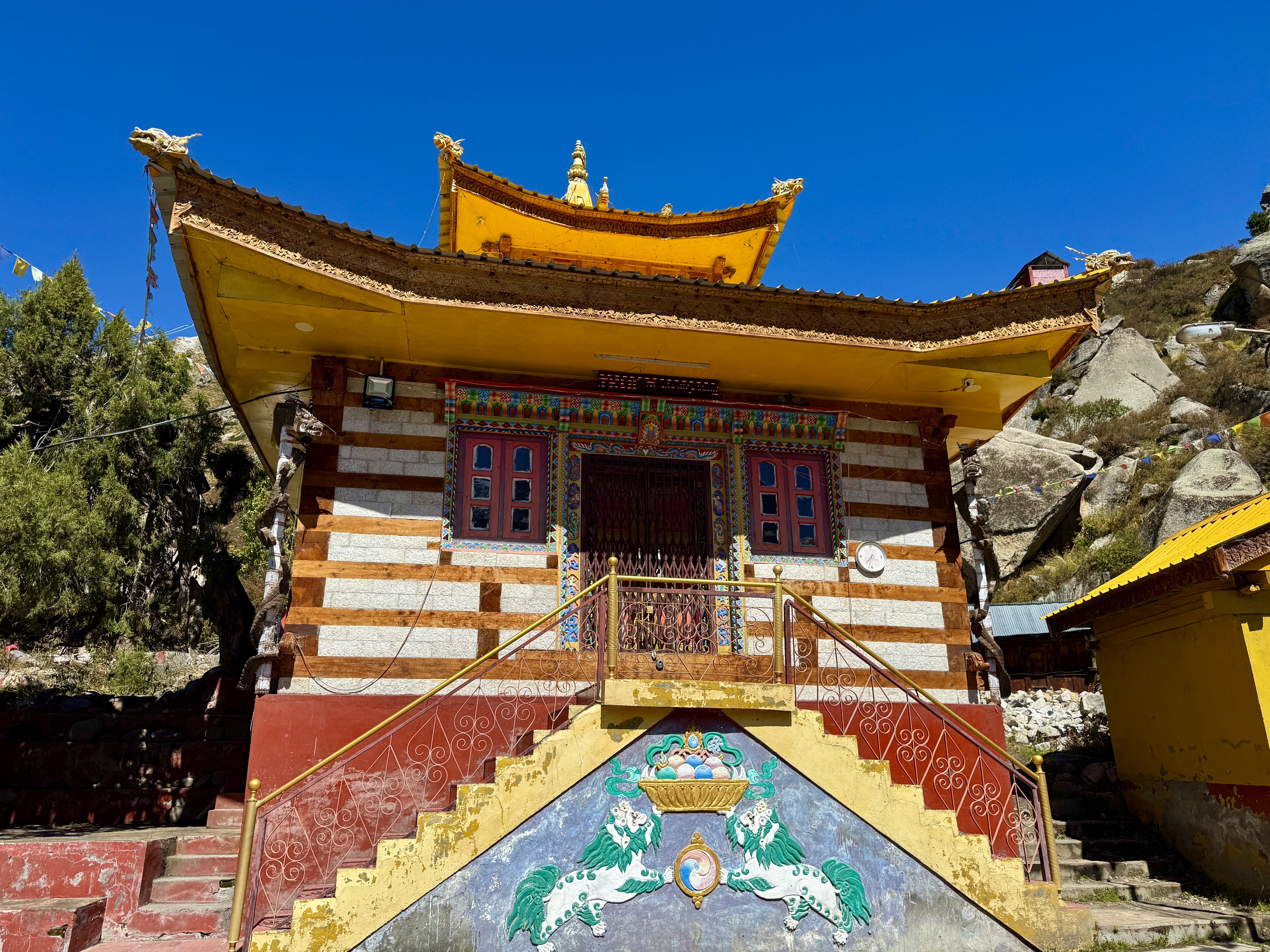
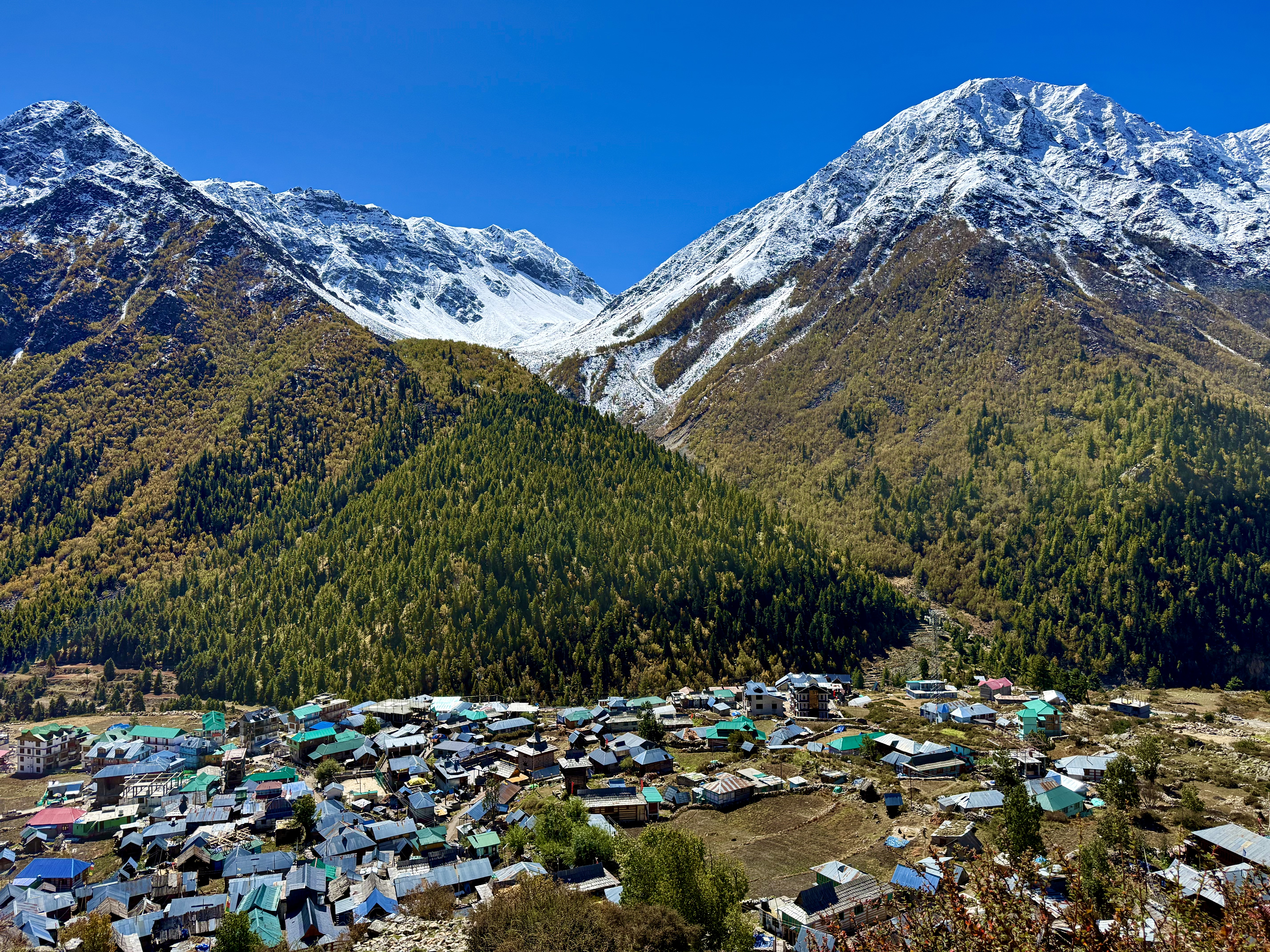
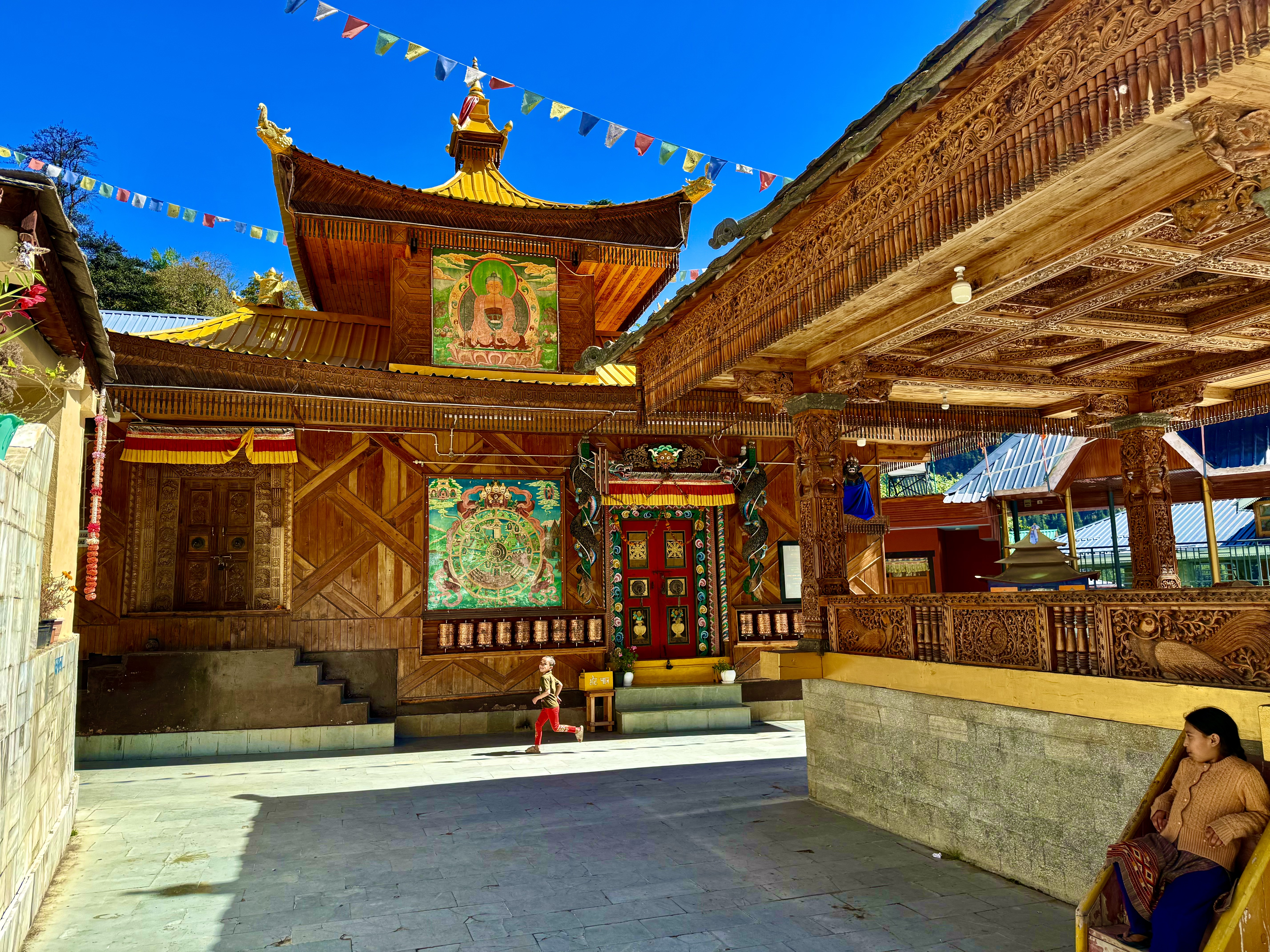
From Chitkul, we headed back to Sangla, where I wanted to see another Buddhist monastery and a Fort with a temple dedicated to the Goddess Kamakshi. Sangla, which means “Pass of Light” in Tibetan, and the towns in the upper valley are heavily influenced by Tibetan culture. Tanzin likes to use Google maps, which I tend to distrust. He followed the directions on the navigation system to take us to the monastery and we ended up on a very steep path with a very tight hairpin turn with someone in a large car that couldn’t make it trying to get up. Passing was needless to say problematic, meaning almost impossible. The car ended up being pushed up out of the ruts by the turn so that we could squeeze by. I moved the side mirror in and was reprimanded that it was an electronic system in the Jimmy, and I may now have wrecked it. I didn’t; I got it sorted out again. But it was clear the the car wasn’t going to go down any further. I said I’d walk, which I did, but unfortunately Tanzin couldn’t come with me as he had to wait by the car as he might have to move it if someone else came by. The Bering Nag Temple and monastery is down a hill and has four main buildings in the complex as well as a ceremonial space and housing. Upon entering one comes to a side mural on the side of the first temple dedicated to Vaishno Devi. I had spent a fair amount of time on an earlier trip to India going on a Vaishno Devi pilgrimage in the Trikuta Hills of Jammu, so was happily surprised to see her here in Sangla. Going down another set of stairs, one comes to the Nag Temple and center of the monastery. The Nag Temple, dedicated to Lord Jagas-related to Shiva, is only open to Hindus, and even then it was closed when I was there. The building is in the typical Kath Kuni stone and wood ancient construction technique of the region. On the monastery walls are mural paintings of the Buddha and the Wheel of Life along with intricate wood carvings of Buddha, guardians, dragons, and flowers. The dragons are supposedly made out of pine cones! There were people sitting, chatting and enjoying themselves along with a few children having a good time in the peaceful setting.
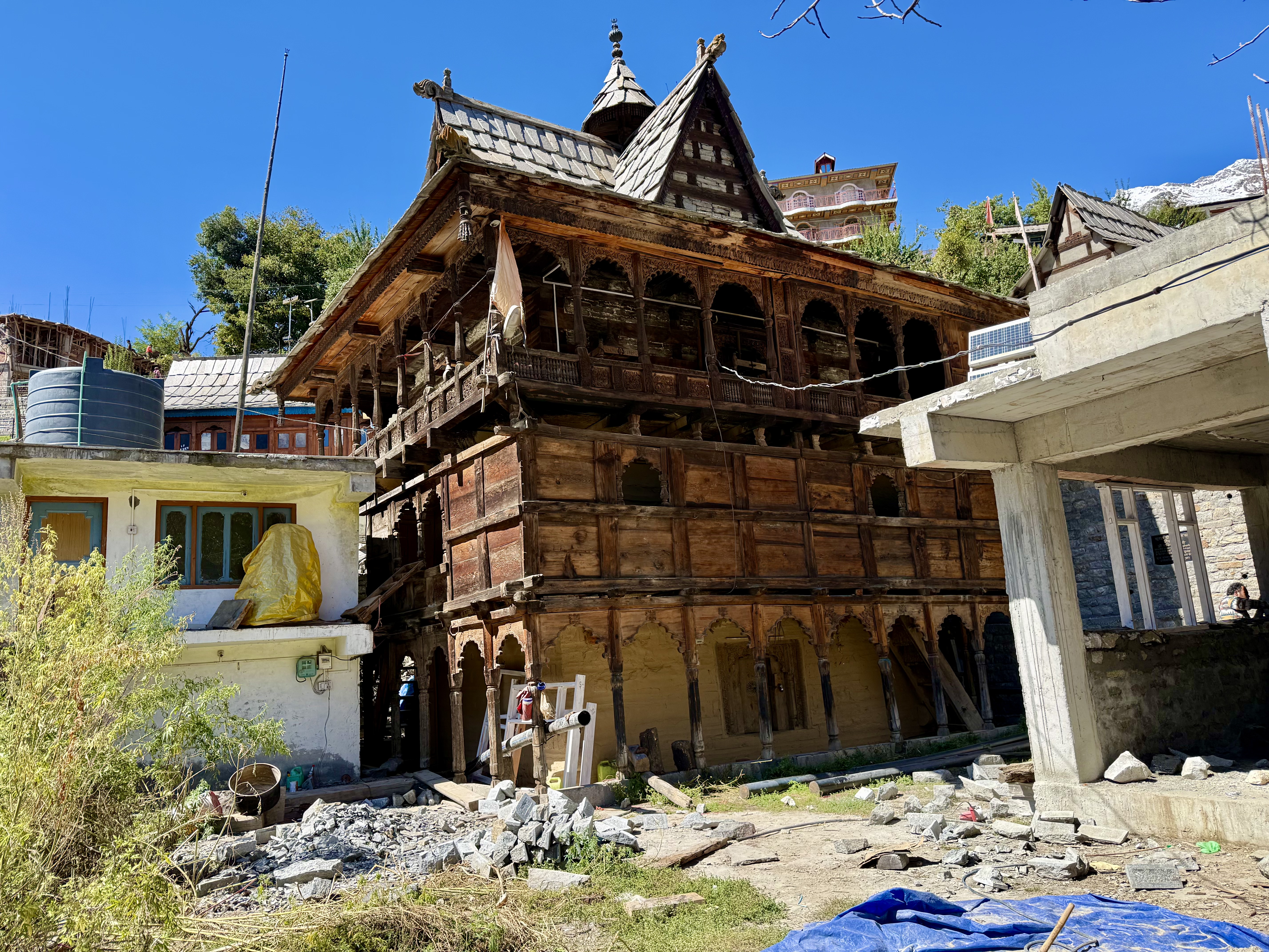
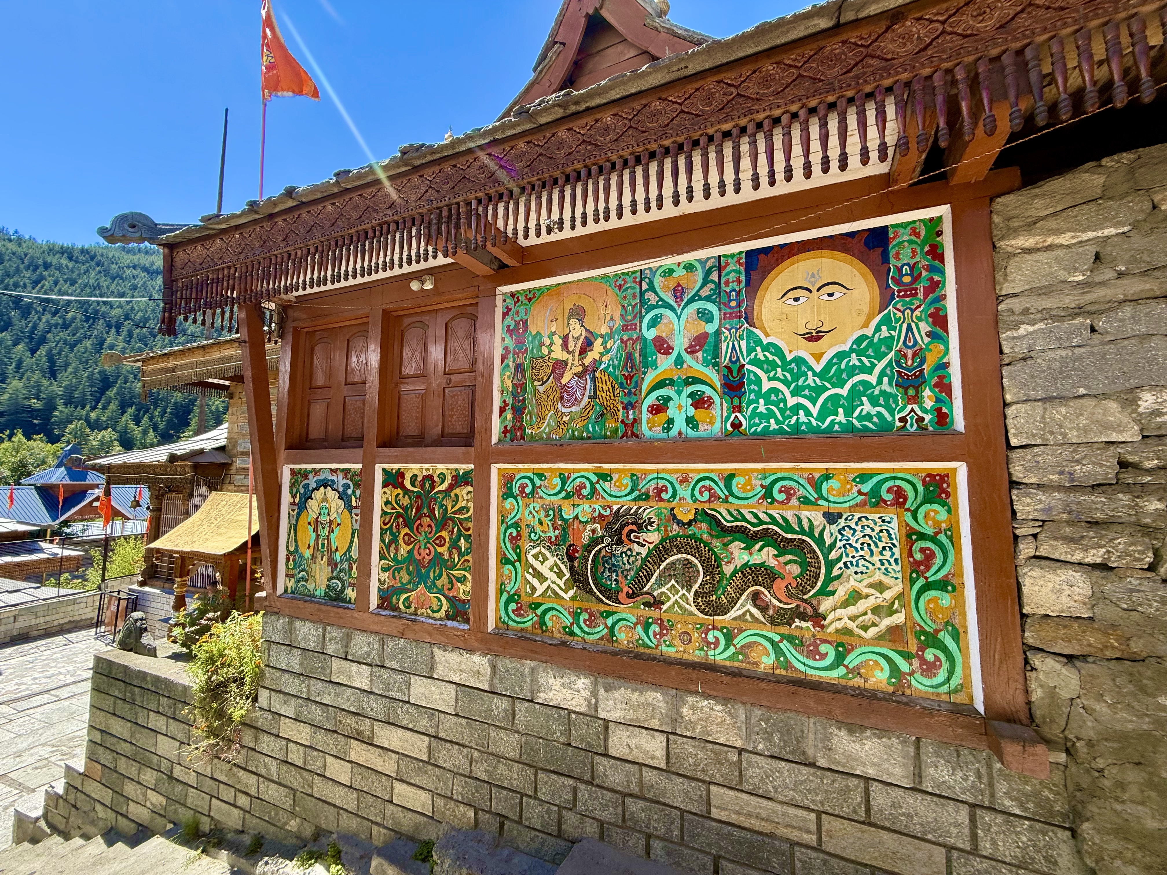
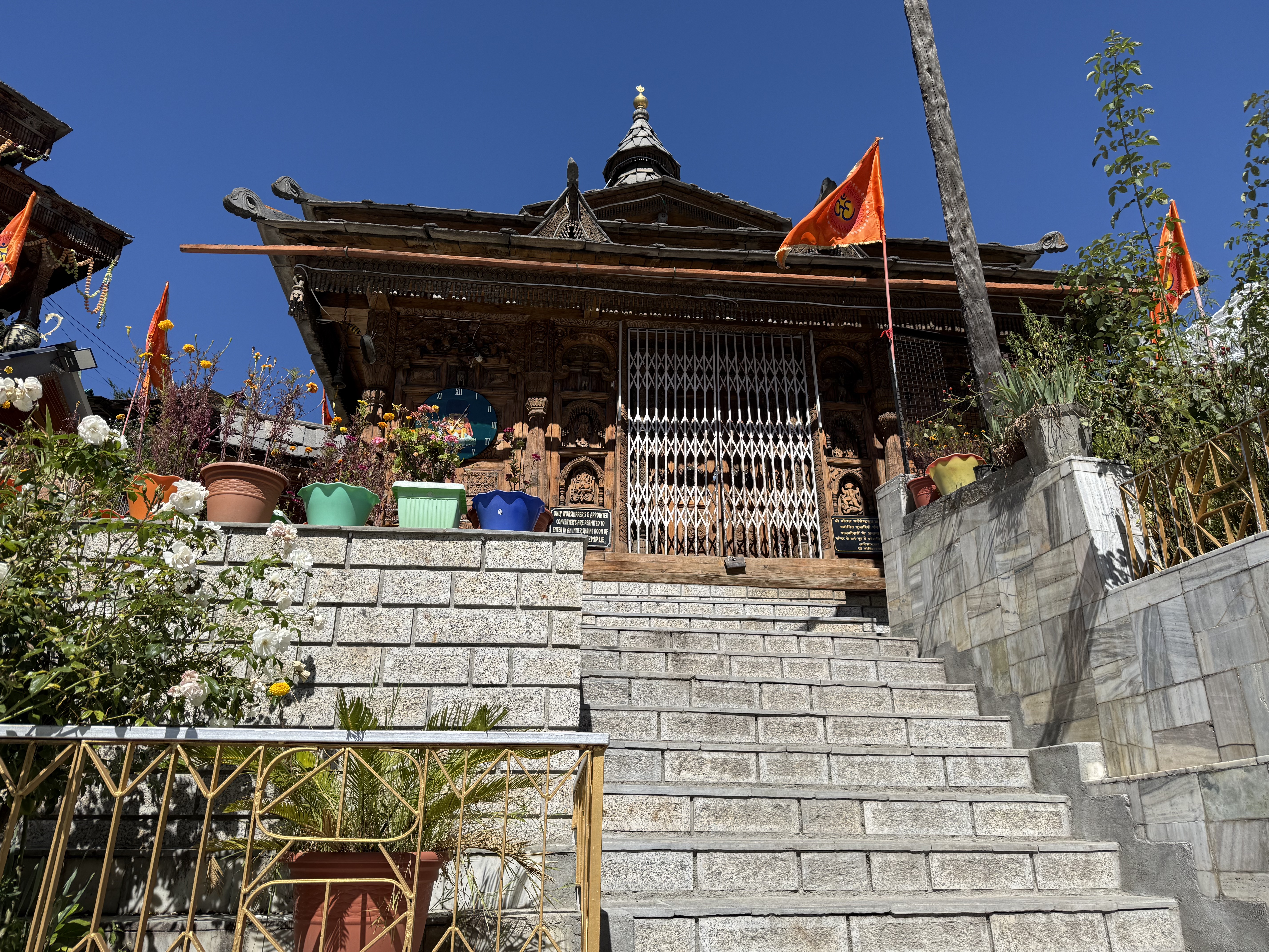
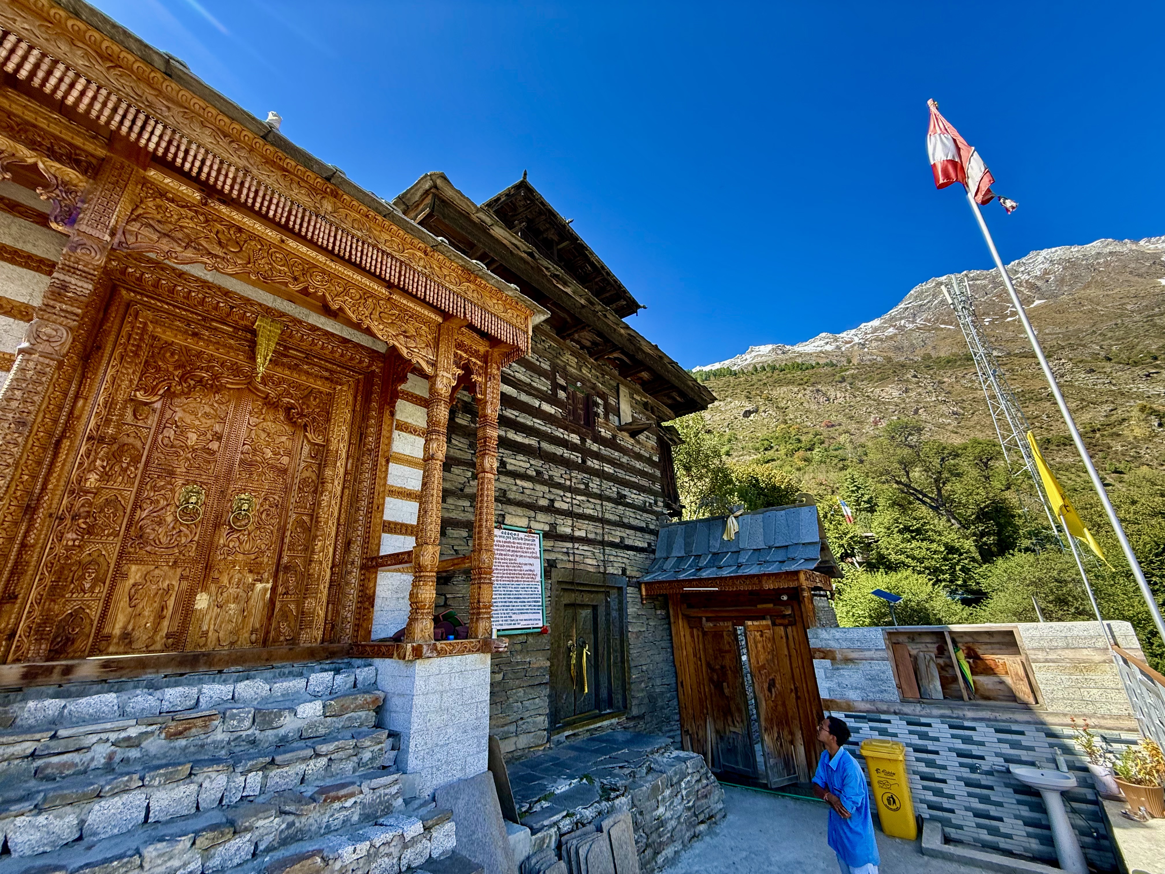
From the monastery, or rather where Tanzin had found a small space to park, we headed to Kumru Fort, which is above the town. From the car park there is a small path leading to the Fort. The first building appears to be the administrative center for the Goddess temple next door. A woman came out and asked if we had eaten any non-veg dishes, including eggs. We both had had omelettes for breakfast, so we said yes, and were then not allowed into the temple. I was only allowed to take photos of the doors. This Goddess’ personnel were not especially welcoming…. That ended our brief stay in Sangla/Kumru, and we headed directly on to Kalpa and Kinner Kailash.
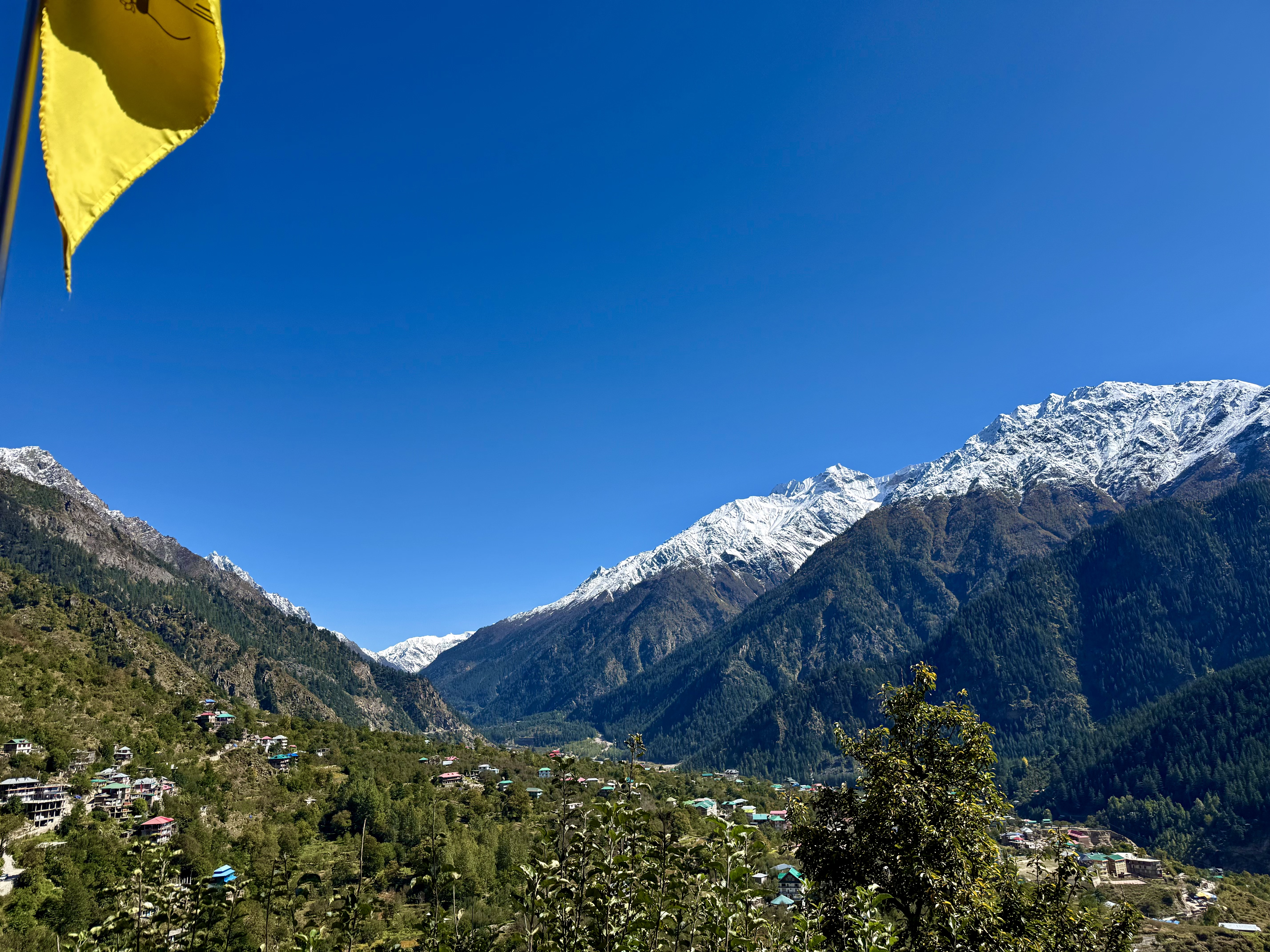
Mt. Kailash in Tibet is perhaps the most sacred mountain on the planet as it is worshipped in Hinduism, Buddhism, Bon, and Jainism. The kora around the mountain takes three days and the Tara Steps reach over 5600m. There was a time in my life when I really wanted to do it as they say that after completing the kora one’s sins from this lifetime are forgiven, but I now have to admit that I am not ever going to do it. (When I was in Muktinath many years ago, I ran through the 108 spouts of freezing cold water which is also supposed to have absolved me of my sins up to that time – but as I said, that was a while ago, and I’ve certainly added to negative karma since then.) While Mt. Kailash is the main one, there are five Kailashes, and one of the most famous of those is the Kinner Kailash.
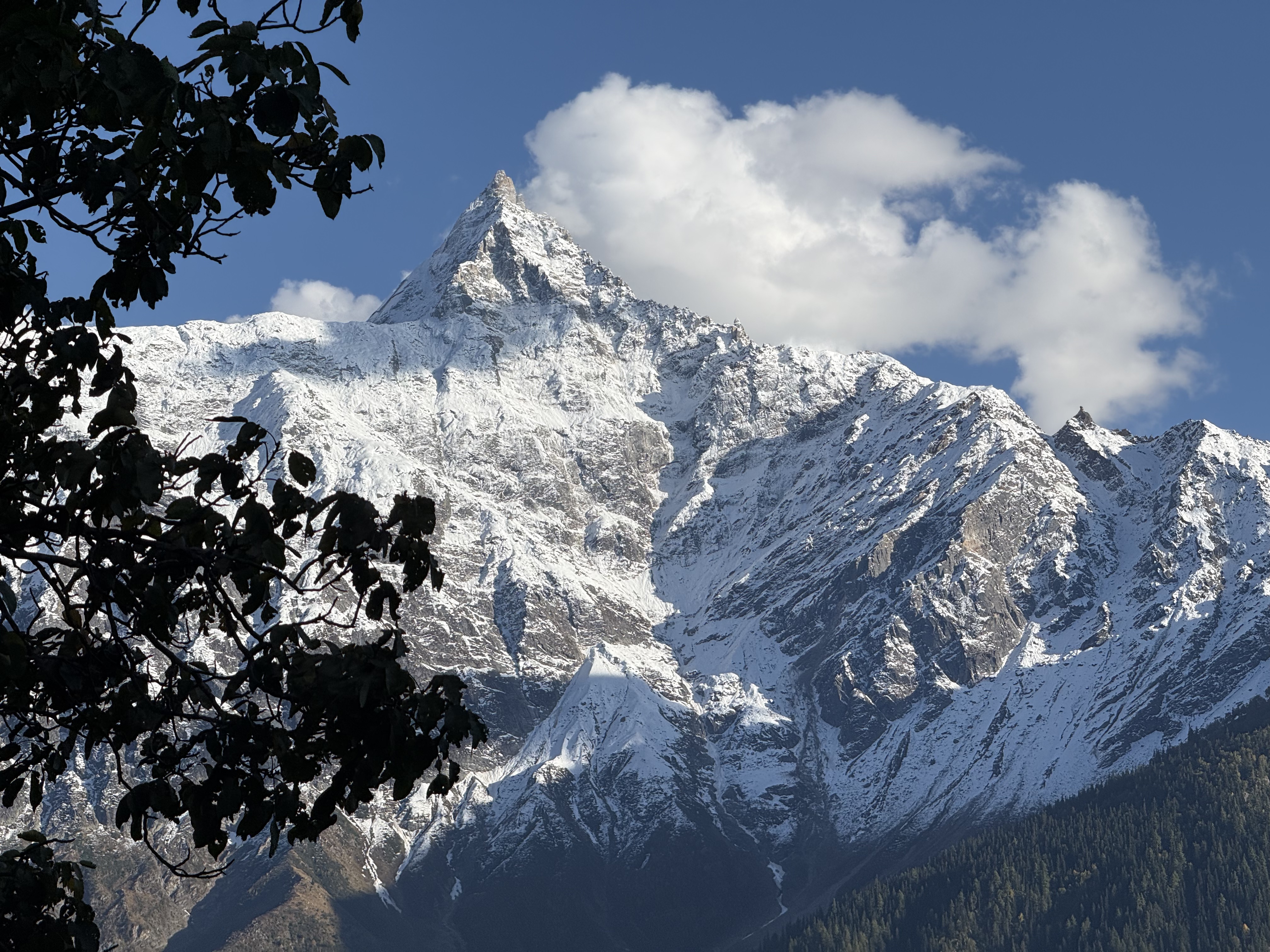
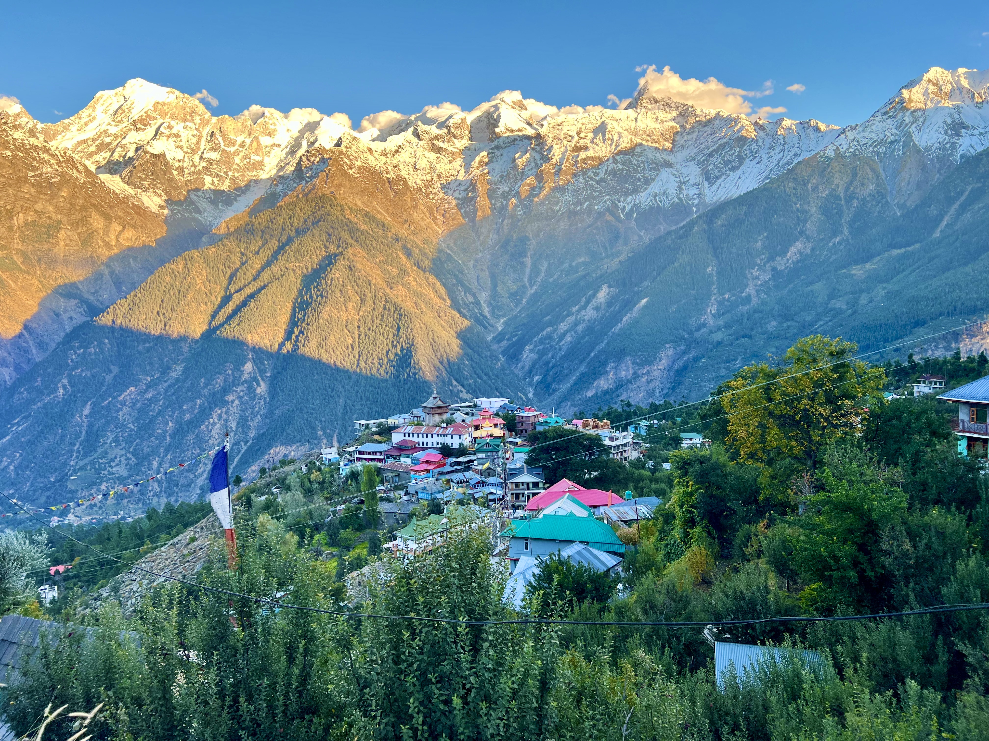
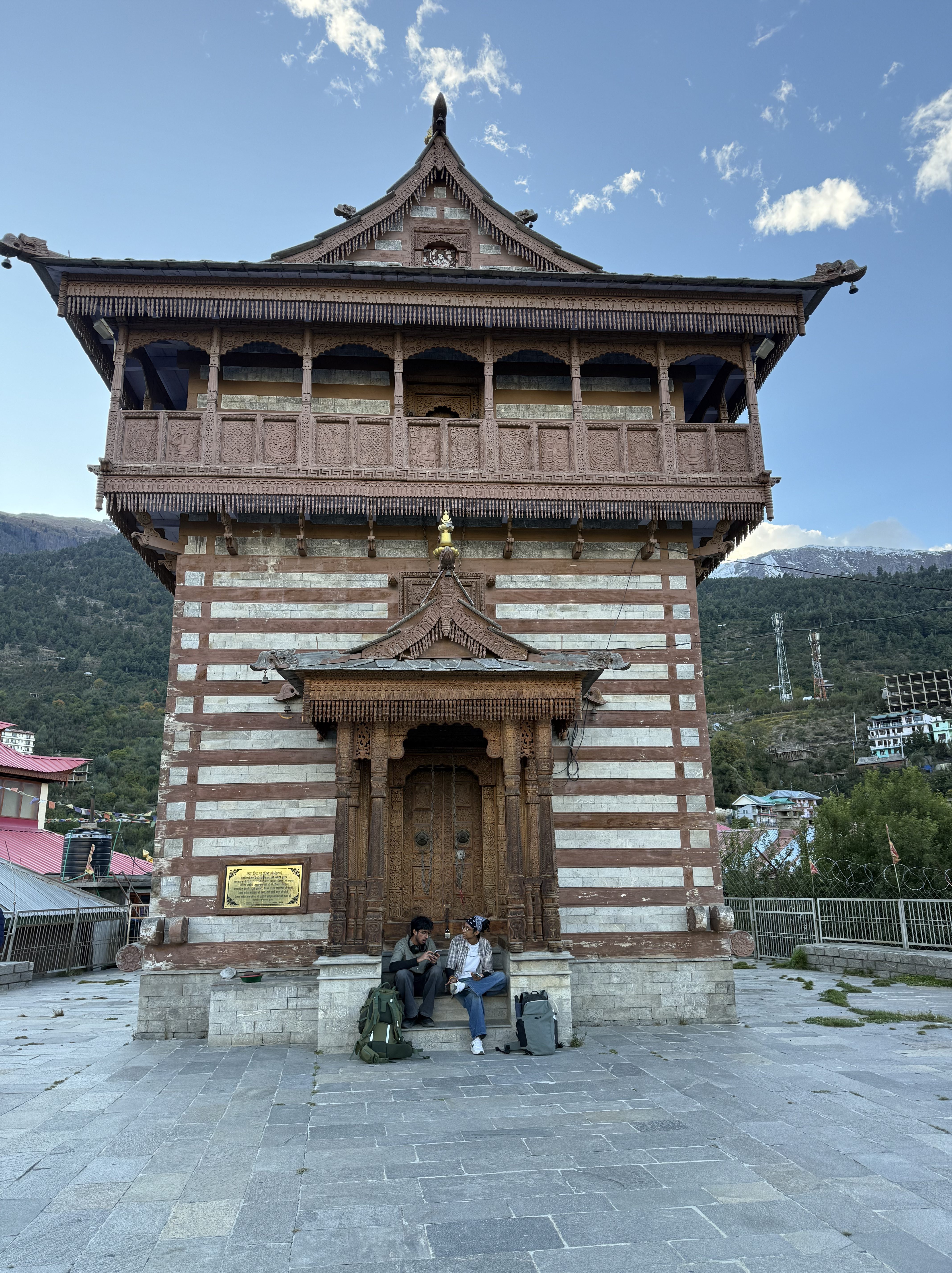
The road from Sangla to Kalpa backtracks to the Karcham Dam and crosses a bridge below it. Tanzin was kind and didn’t race down the mountain when I asked to drive a bit slower on the downhill turns. The road wasn’t nearly as scary that way. From Karcham Dam it is about 15 km uphill to Rechung Peo, the administrative capital of the region. 15km takes anywhere from 45-60 minutes on these roads. It was another 15km further uphill to Kalpa. We left Sangla at about 13:30 and arrived at the hotel in Kalpa a little after 16:30. The views from Rechung Peo to Kalpa stunningly showcase the entire Inner Kinner and Kailash range. Below the snow-caps, the mountains were covered with Deodar, Chilgoza pines and apple orchards. The view from my hotel room was fabulous. The Shambala Hotel is above the center of the village with its Fort and Vishnu Temple and a small Buddhist monastery. After checking in, I went down to visit both of them. The temples themselves were closed, but I could take photos of the outside doors. Neither was nearly as impressive as the Narayan temple in Betsari. The walk back up to the hotel made me realize that while I have been training for the upcoming Nepal trek, I’m not really in shape. Himalayan stone steps are demanding. Perhaps some of the upcoming hikes at higher altitudes in Spiti will help.
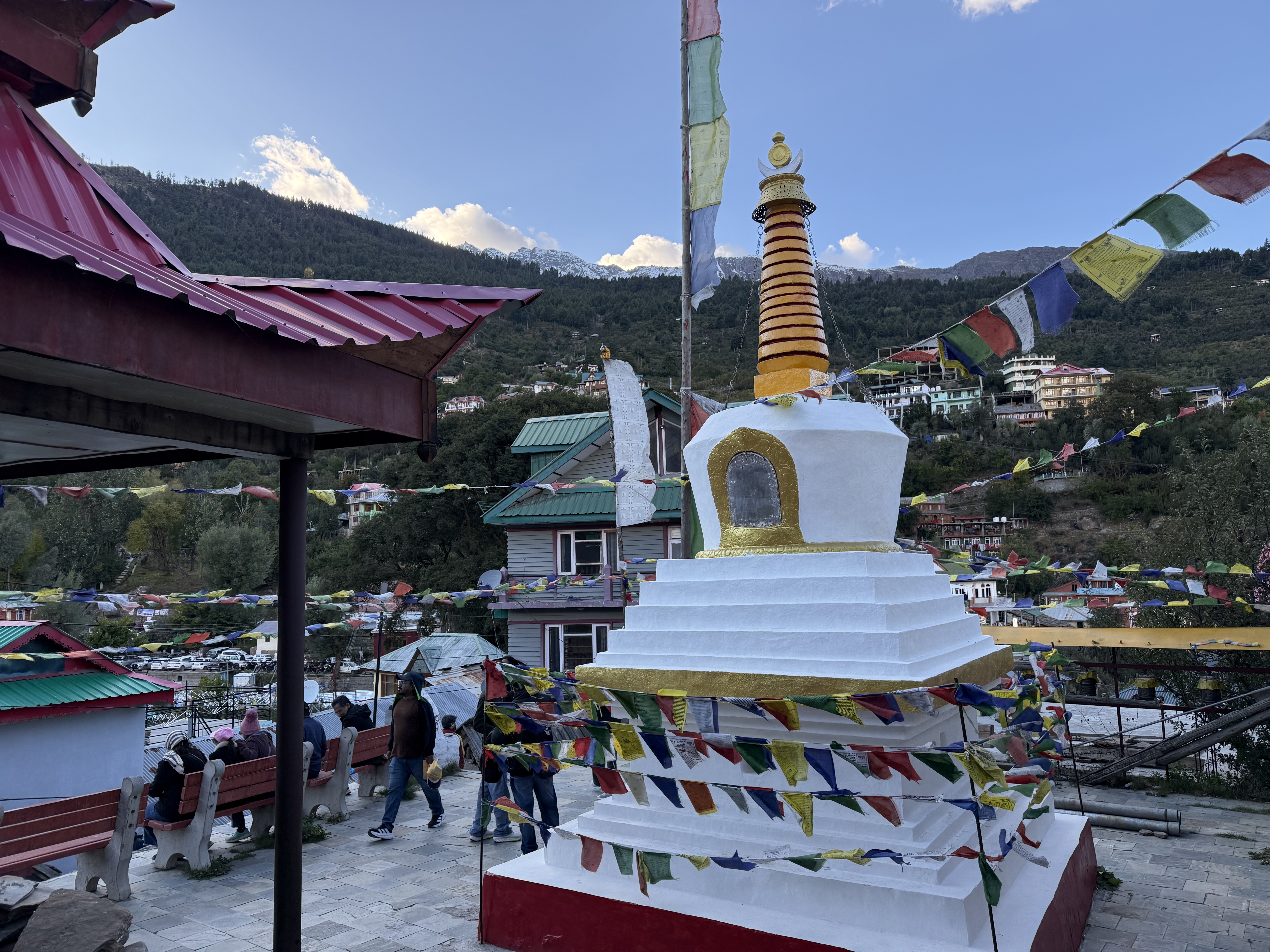
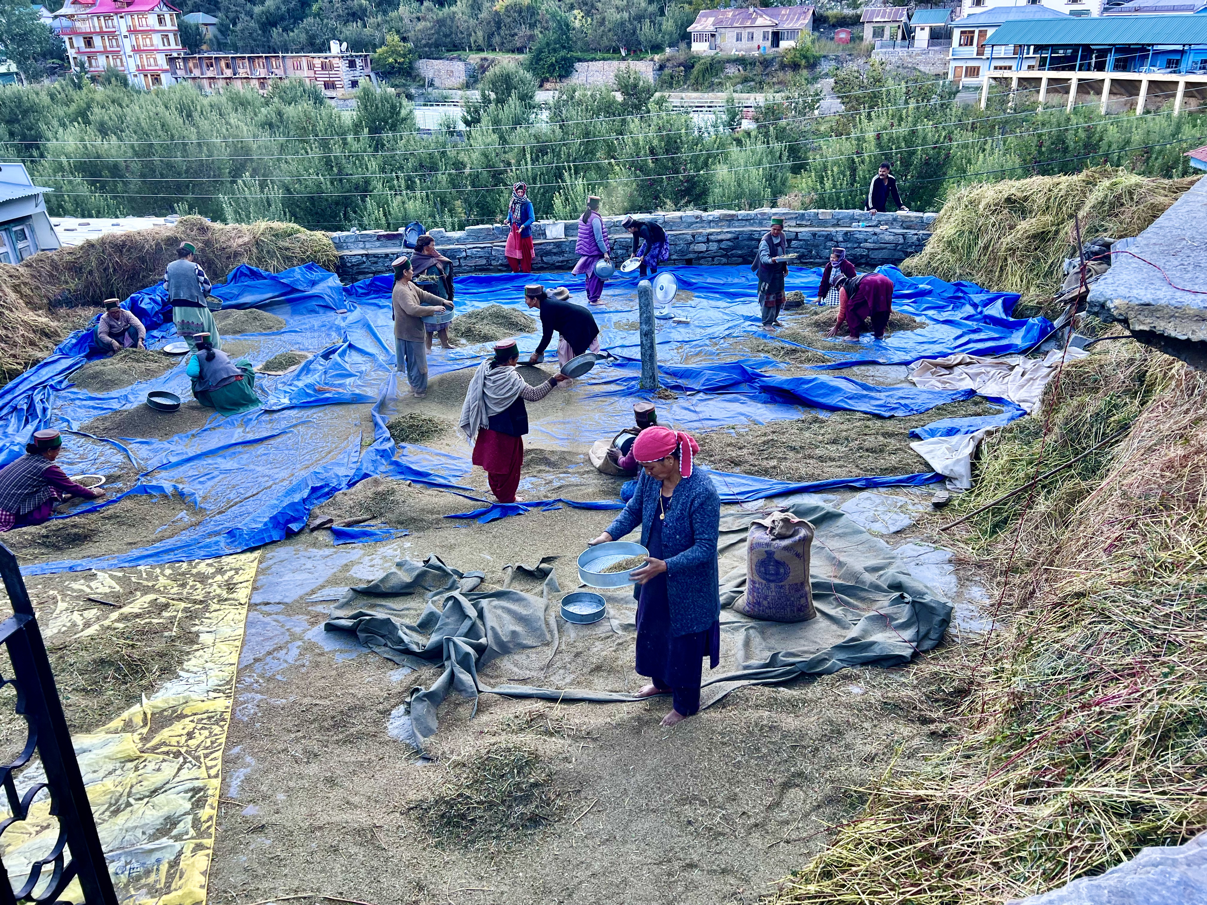
We left Kalpa at 9am the next morning for Tabo Monastery in the Spiti Valley. This is a place I have wanted to visit since a former colleague’s research was based to an extent on this sacred site. Paul Donnelly has written extensively on Tibetan Buddhist thought and is an inspiring educator. Along the way, we had stops planned at Nako & Gue Monasteries. Prior to starting the journey, we had to make it through bottle-necked traffic on the main road from Kalpa down to Rechong Peo, the administrative capital of the region, to get my special pass to enter Spiti. We were told it was going to be a 15-minute drive but given the traffic it took a full hour. As it is apple harvest season, trucks filled with apple crates try to maneuver through the narrow lanes and they are often simply too large to get through.
Getting the pass entailed some leg work and phone calls by the tour agency, which allowed me to just go and pick it up after the police took my photograph and I paid the state tourist agency the 600RS fee. If the tour agency hadn’t had everything prepared, it would have been a much more time-consuming affair. Once I had the paper, which is needed at various check points along the way, we drove down the mountain and headed towards Nako Monastery, our last stop in Kinnaur. On the way, we passed the confluence of the Baspa and Sutlej Rivers, the brownish Baspa coming from Kinnaur and the glacier blue Sutlej coming from Spiti.
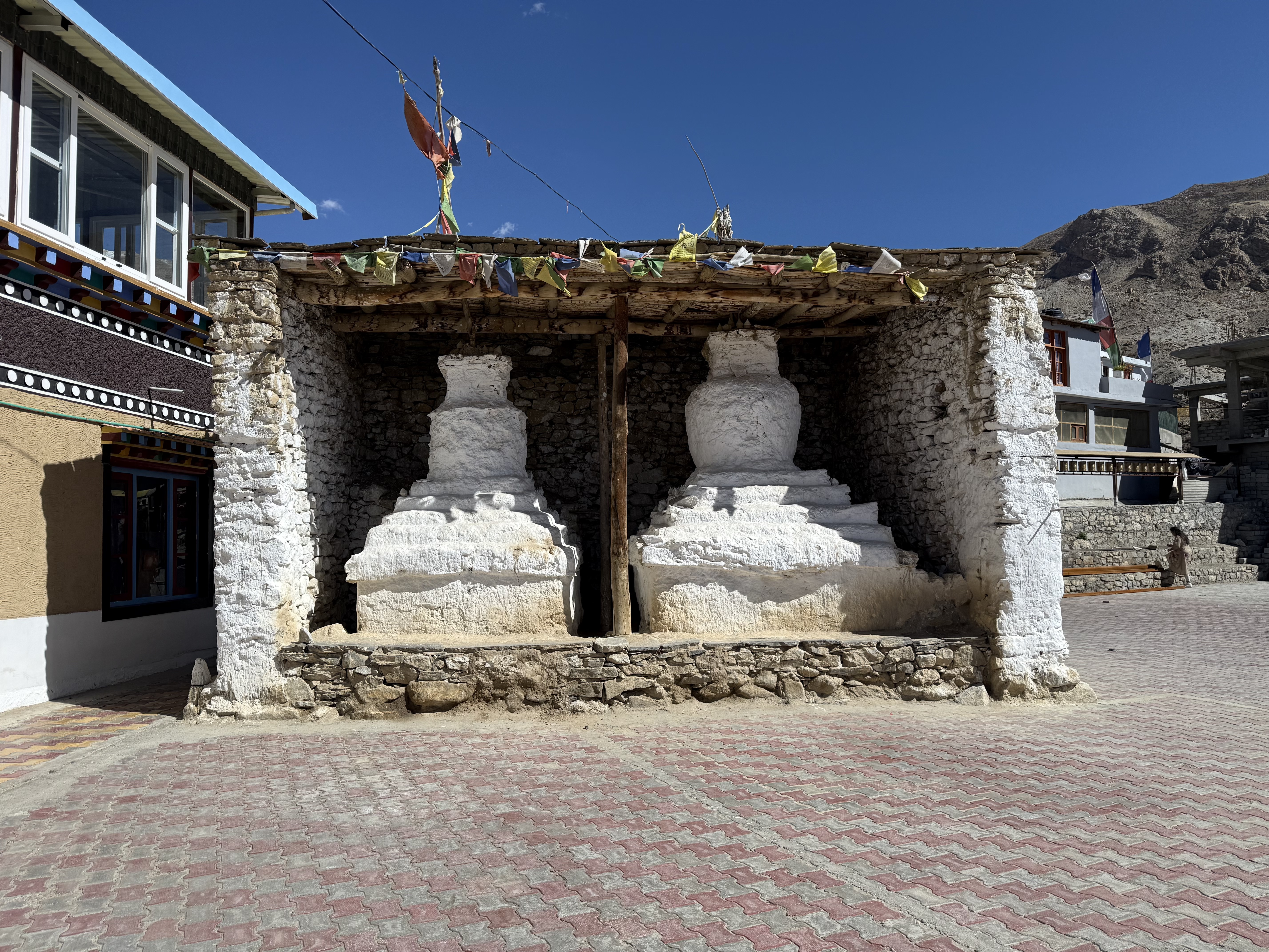
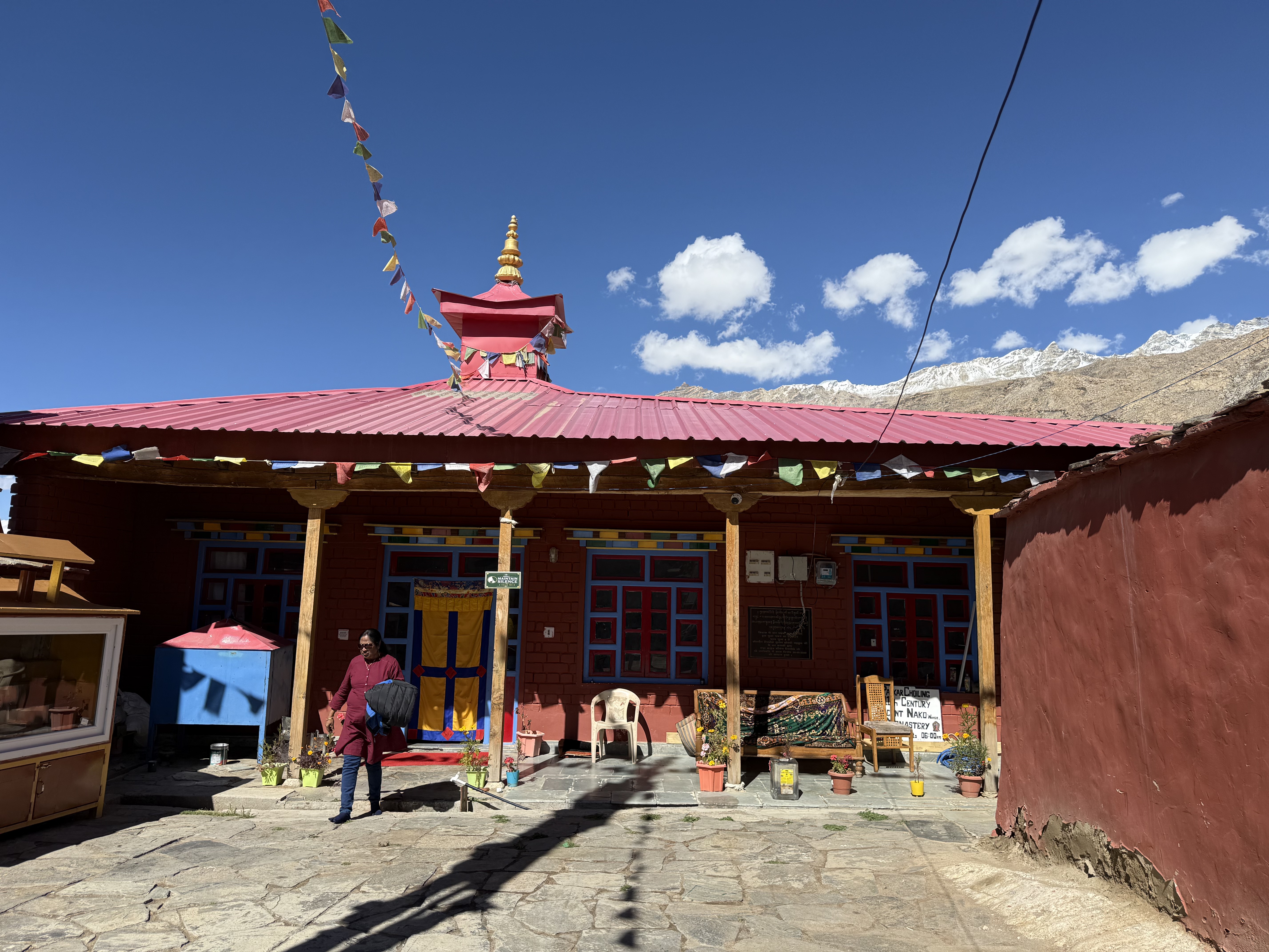
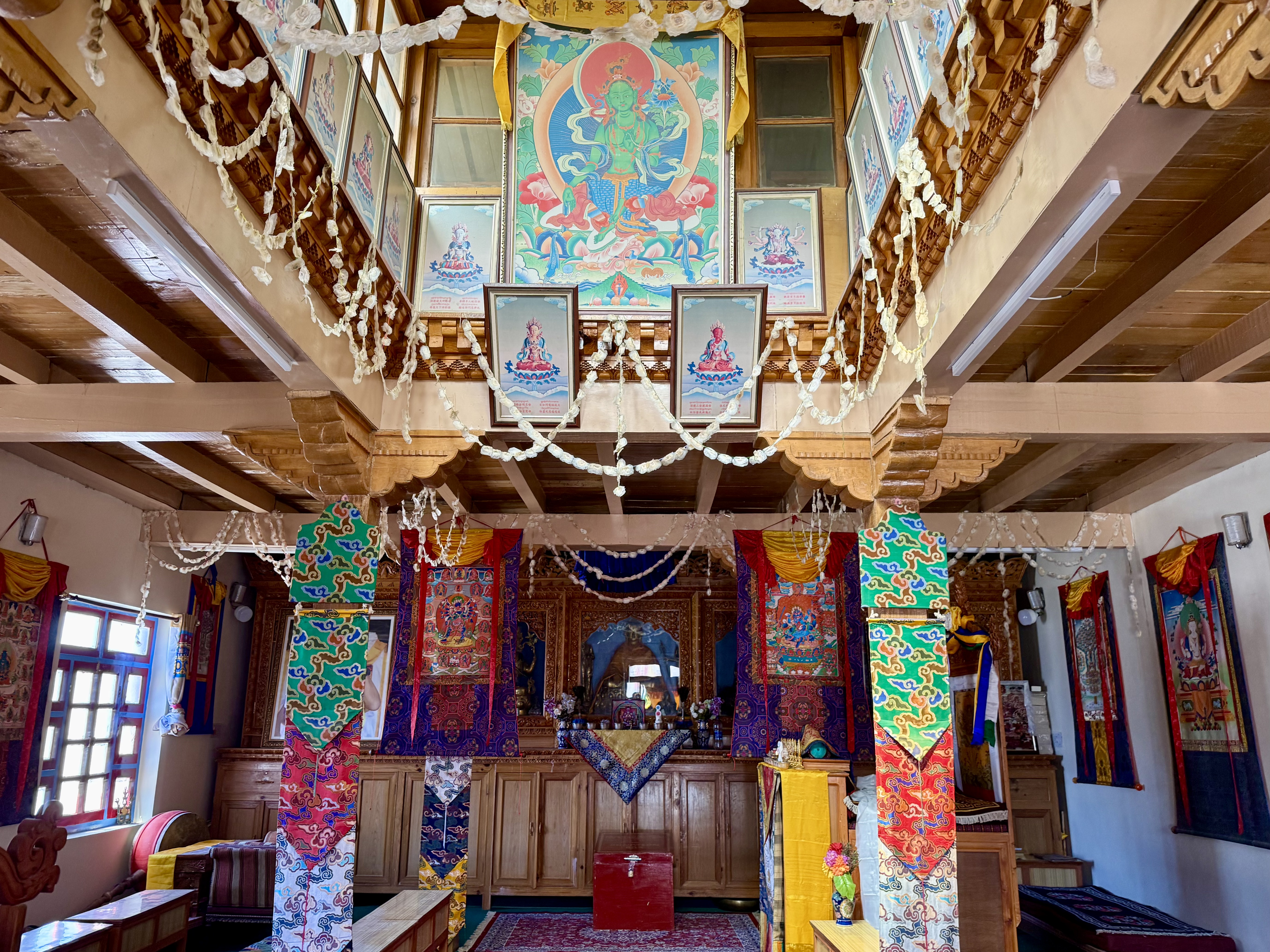
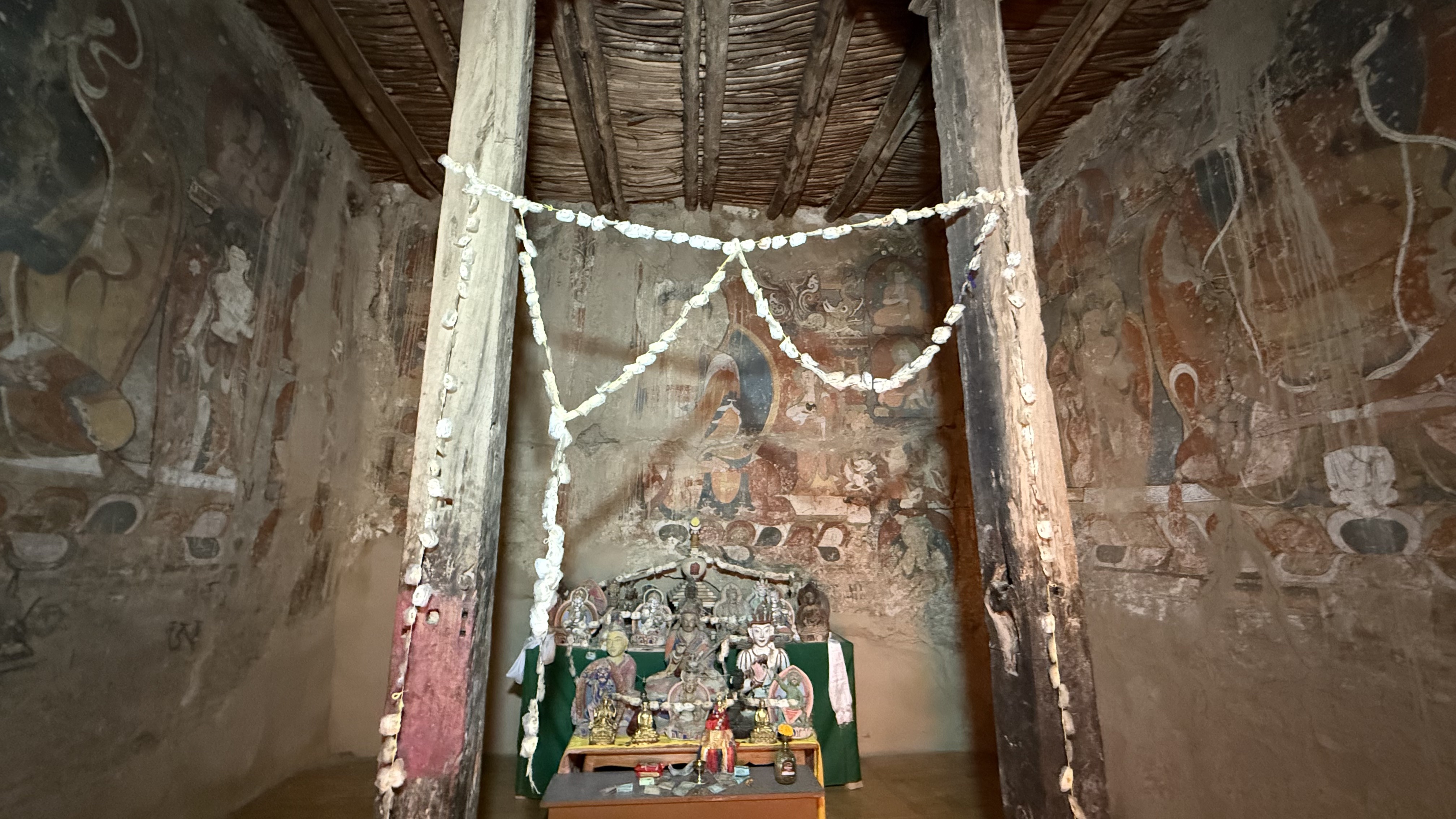
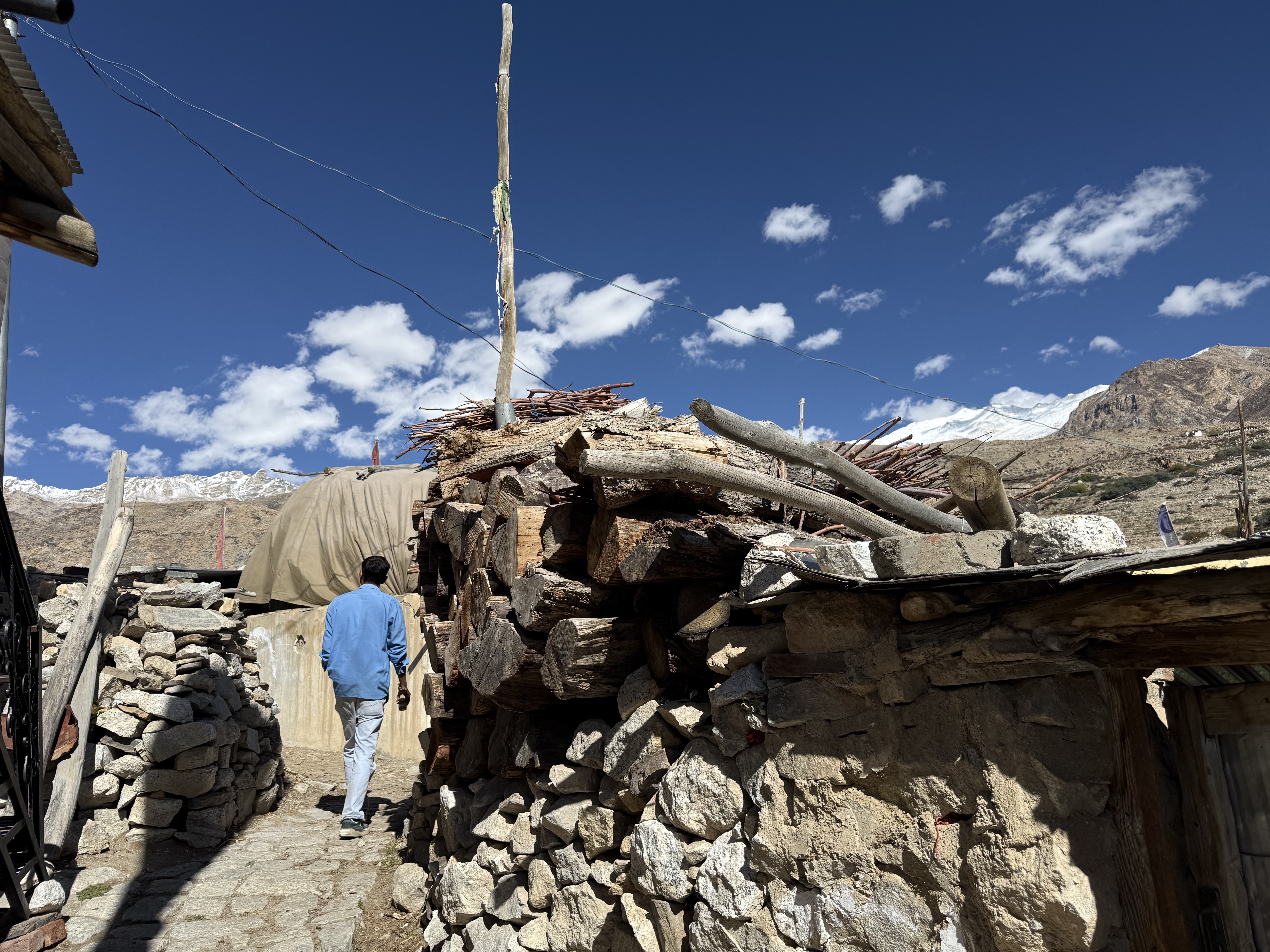
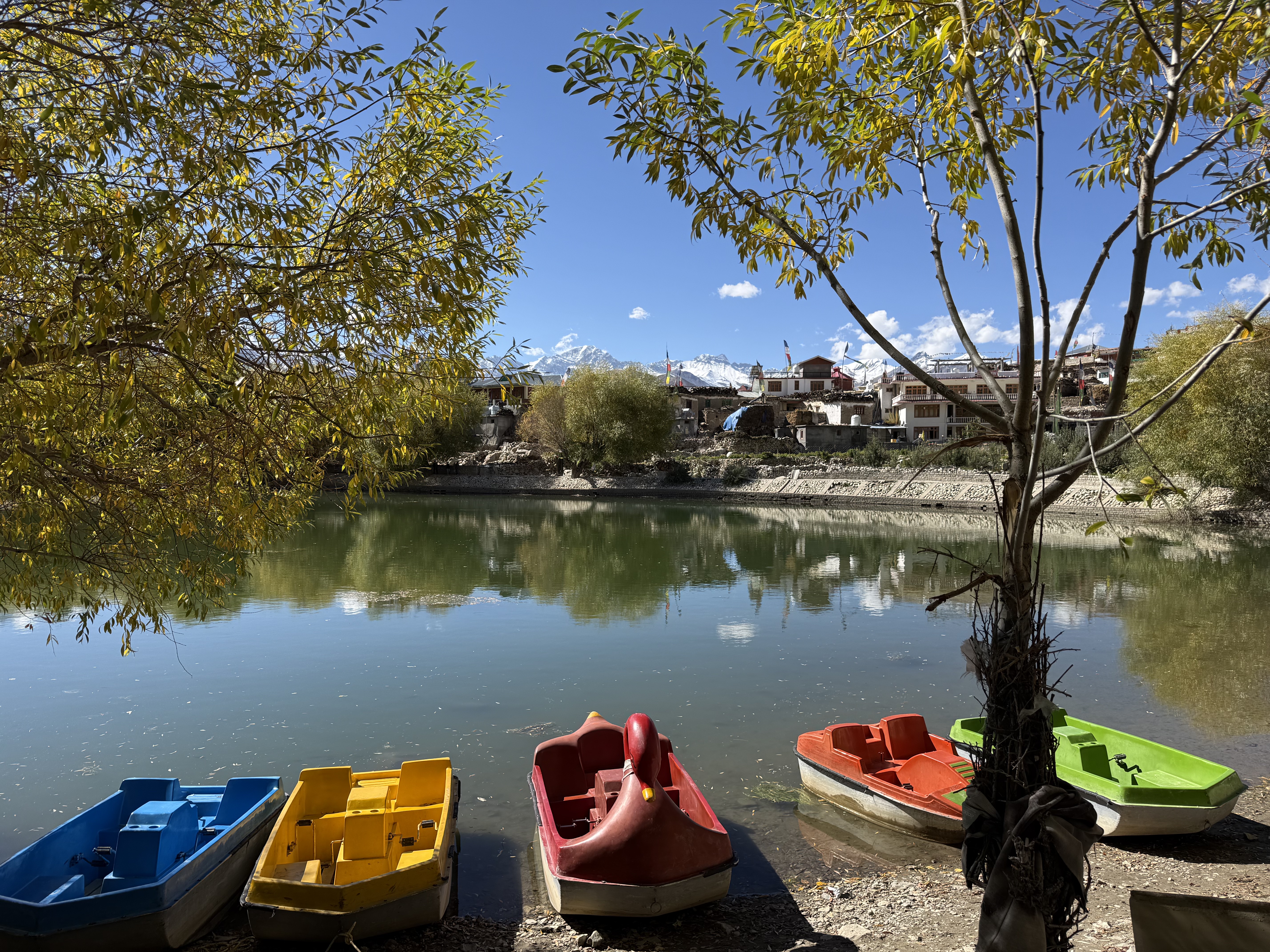
When we finally arrived in Nako high in the mountains at 3,625m, after a number of stops for clogged traffic, landslides and a bottle-neck at the one gas station along the route, we parked the car not too far from the lake and walked to the monastery. The monastery was founded by Guru Rinpoche in 1025 CE and his footprint is housed in a glass case in a small temple near the lake. The entrance is modern and at first glance I was disappointed but soon saw a sign pointing to the ancient monastery. This place is a gem. An earthquake in 1975 destroyed much of the original monastery, but various Indian agencies and a research project from the University of Vienna worked to restore and preserve as much as possible. Unfortunately, photography wasn’t allowed in the three buildings that had the most interesting images. The first had intricate ancient dark murals with large mandals, the second had similar murals but also almost life-sized clay statues of Paramita and the five Dhyani Buddhas, the third had a smaller carving of Yellow Tara. The room photography was allowed, had a modern interior to be used as the main meditation hall. Hanging from the ceiling in the center of the ancient wood construction were pictures of the 21 Taras. Along the walls were some fabulous thangkas. At the center were statues of Buddha and Guru Rinpoche. There is also a shrine dedicated to Pirgyal, who is the local spirit of the mountain, which has the same name. The walk from the monastery to the lake goes through the old part of town on a winding narrow pathway that provides a glimpse of how life hasn’t changed much here over the centuries. This, of course, is not the case as all the new hotel construction on the outskirts shows. The lake is about the size of a small pond, but there are paddle boats for rent. Fishing is not permitted.
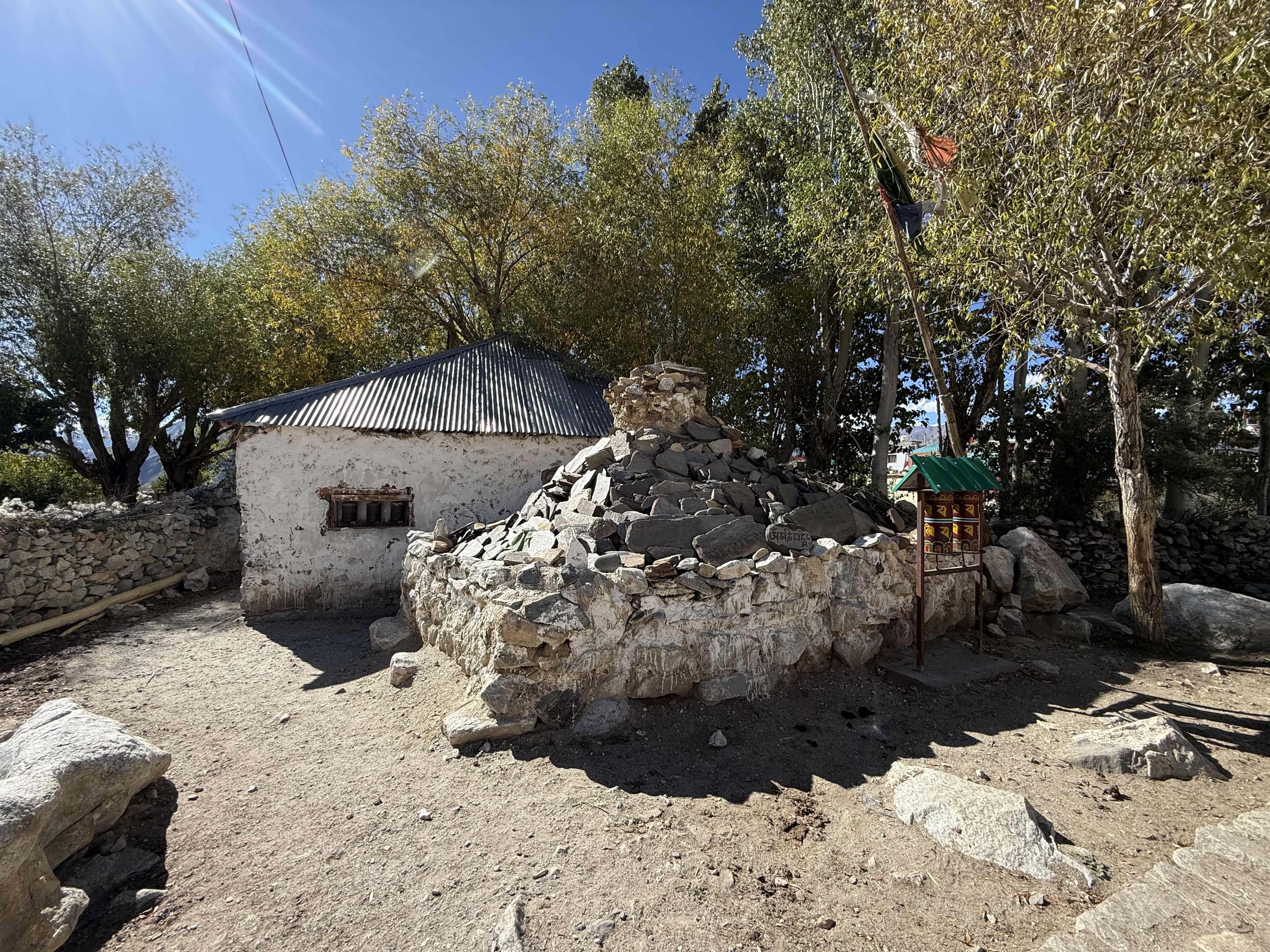
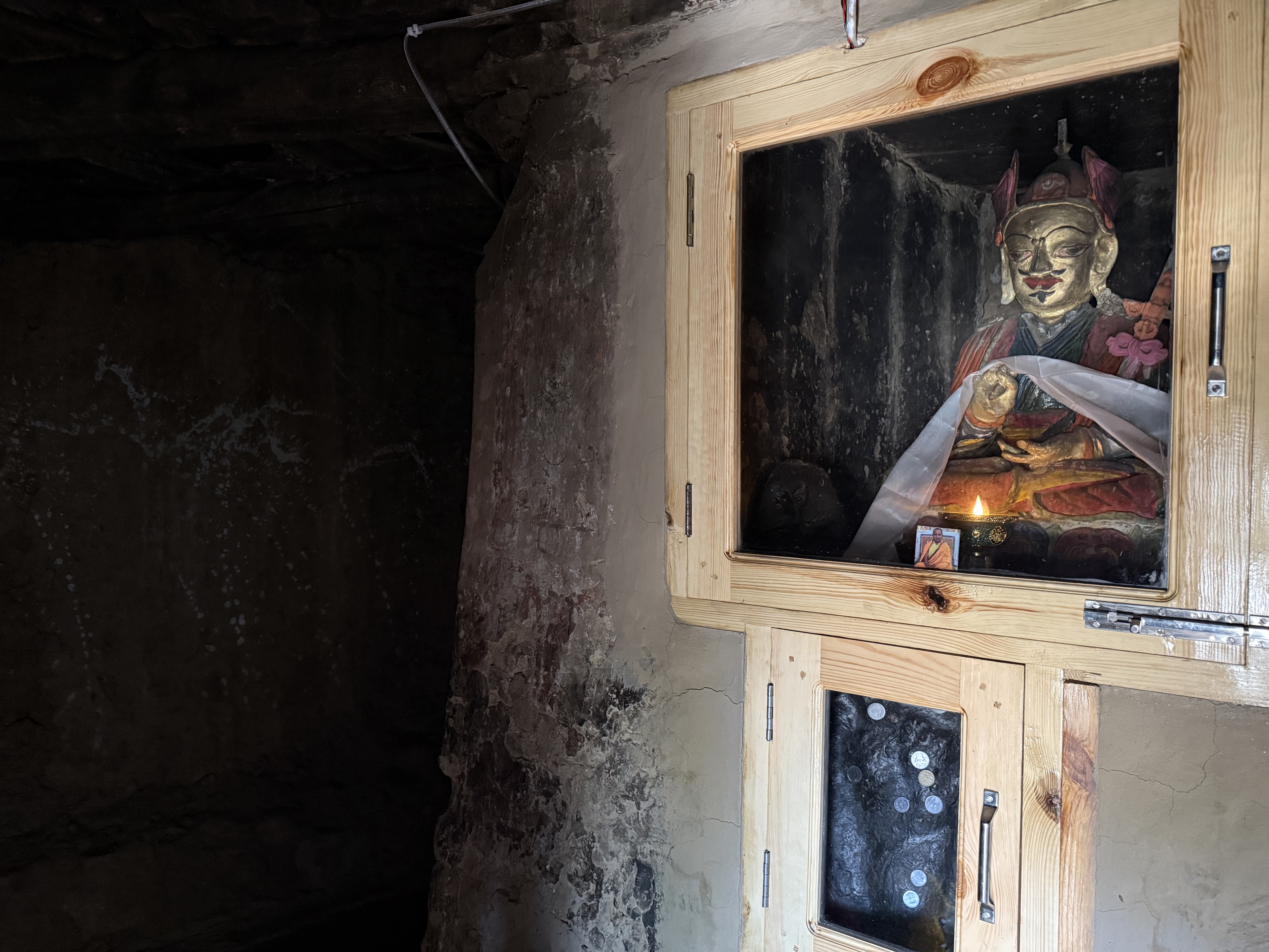
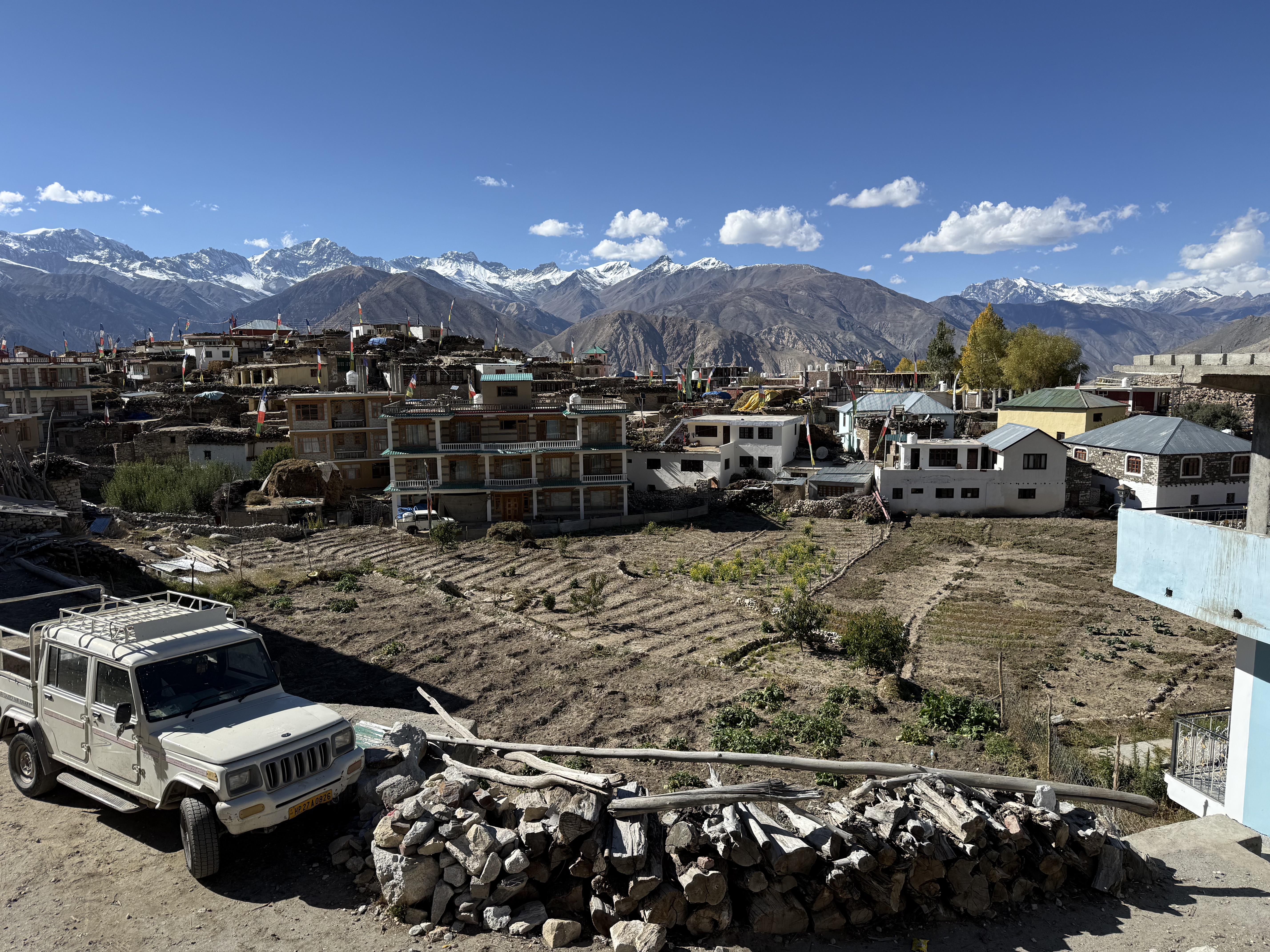
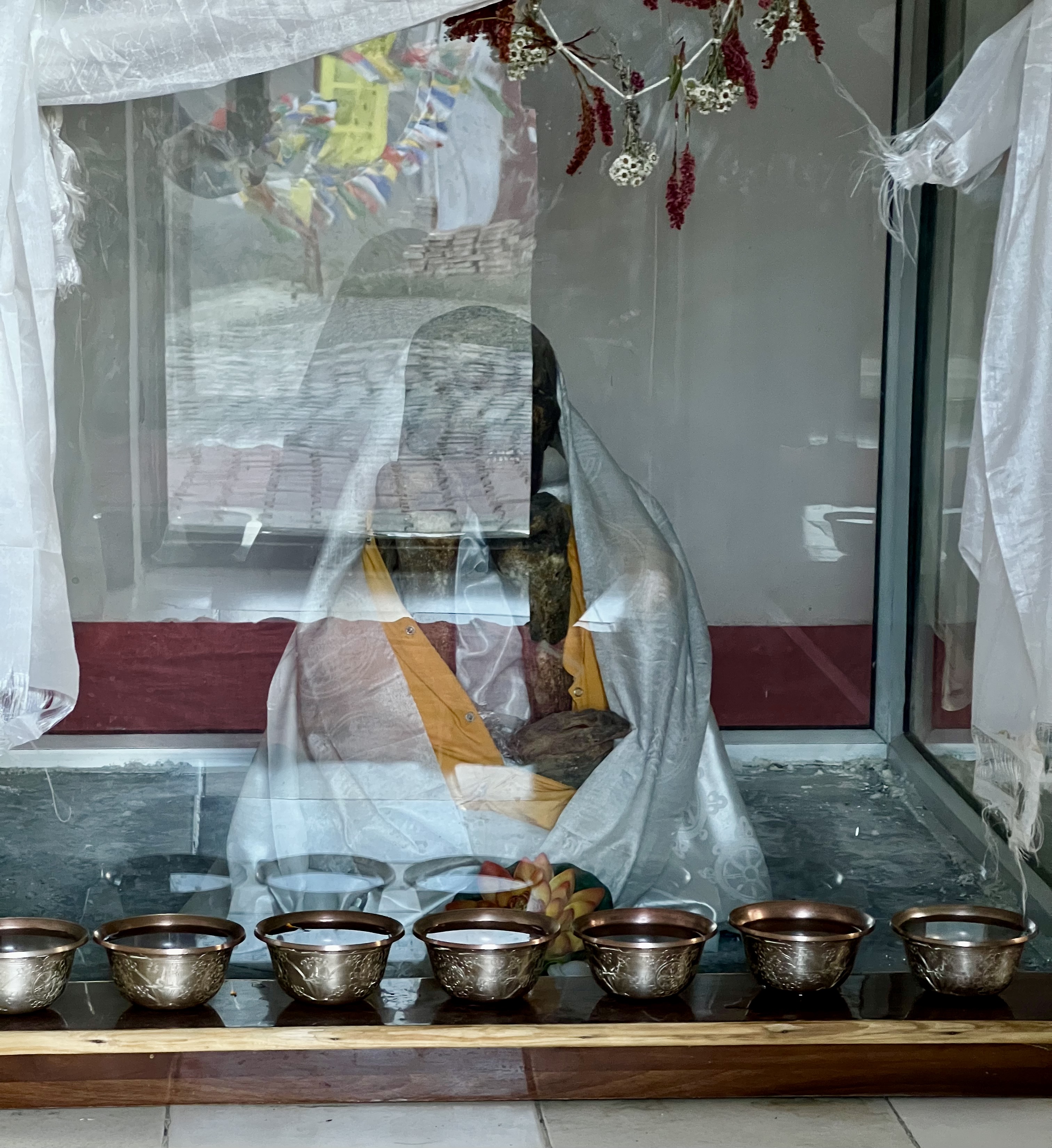
From Nako we drove further now down the mountain to Gue Monastery, crossing over into Spiti. Gue is known for housing a 500 year old mummy supposed to be the remains of Sangha Tenzin. He was found after the 1975 earthquake; his position and the belt around his legs lead scholars to differing theories as to whether he died in this position or was placed in it. His mummy is in a glass case in small shrine off to the side of the new complex.
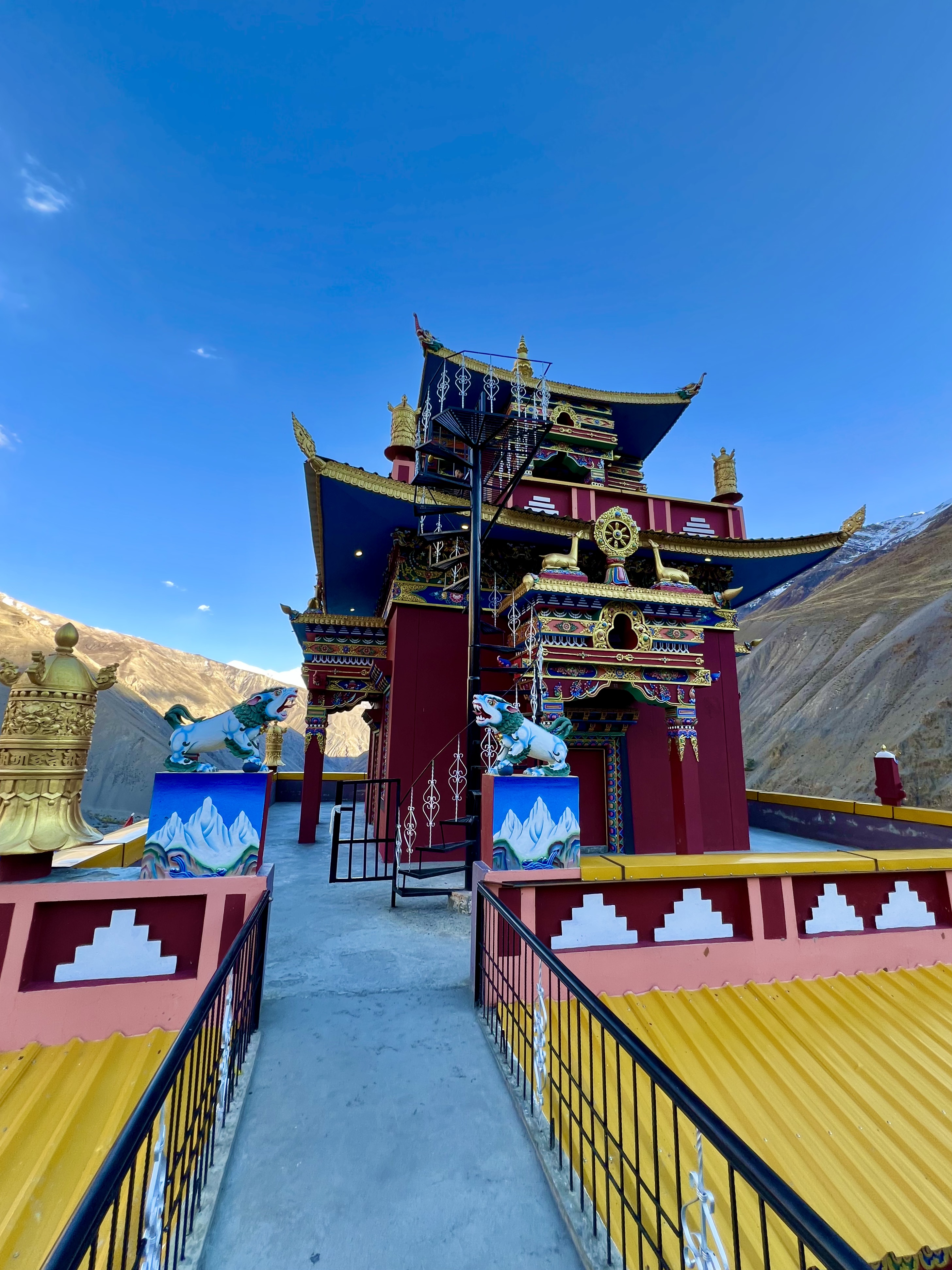
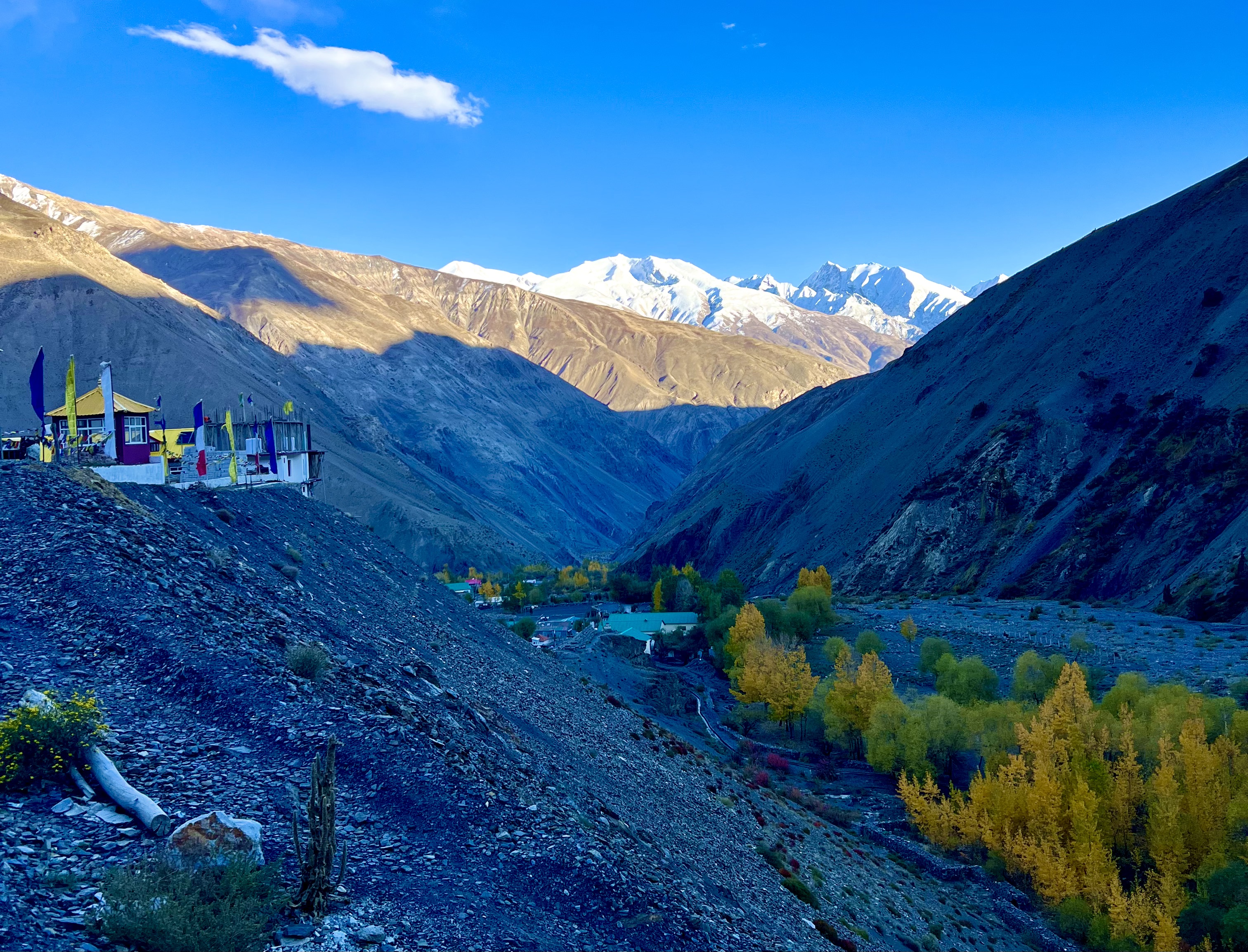
The road into Gue from the main road is pot-holed gravel, but it is wide enough for at least small cars to pass. The main road from the entrance to Gue to Tabo is almost entirely paved, and in places wide enough, but as always here, the rock slides remain a concern.
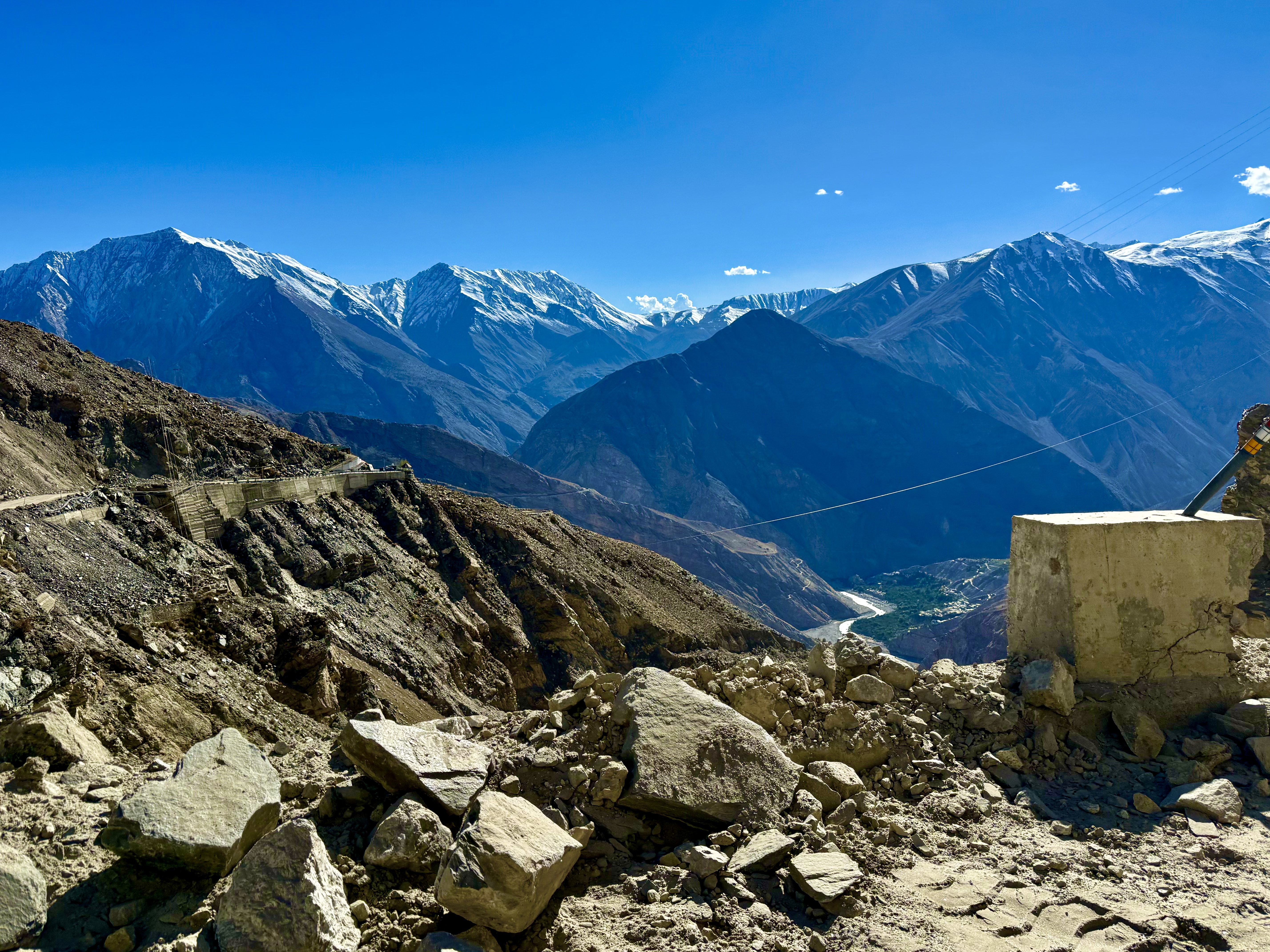
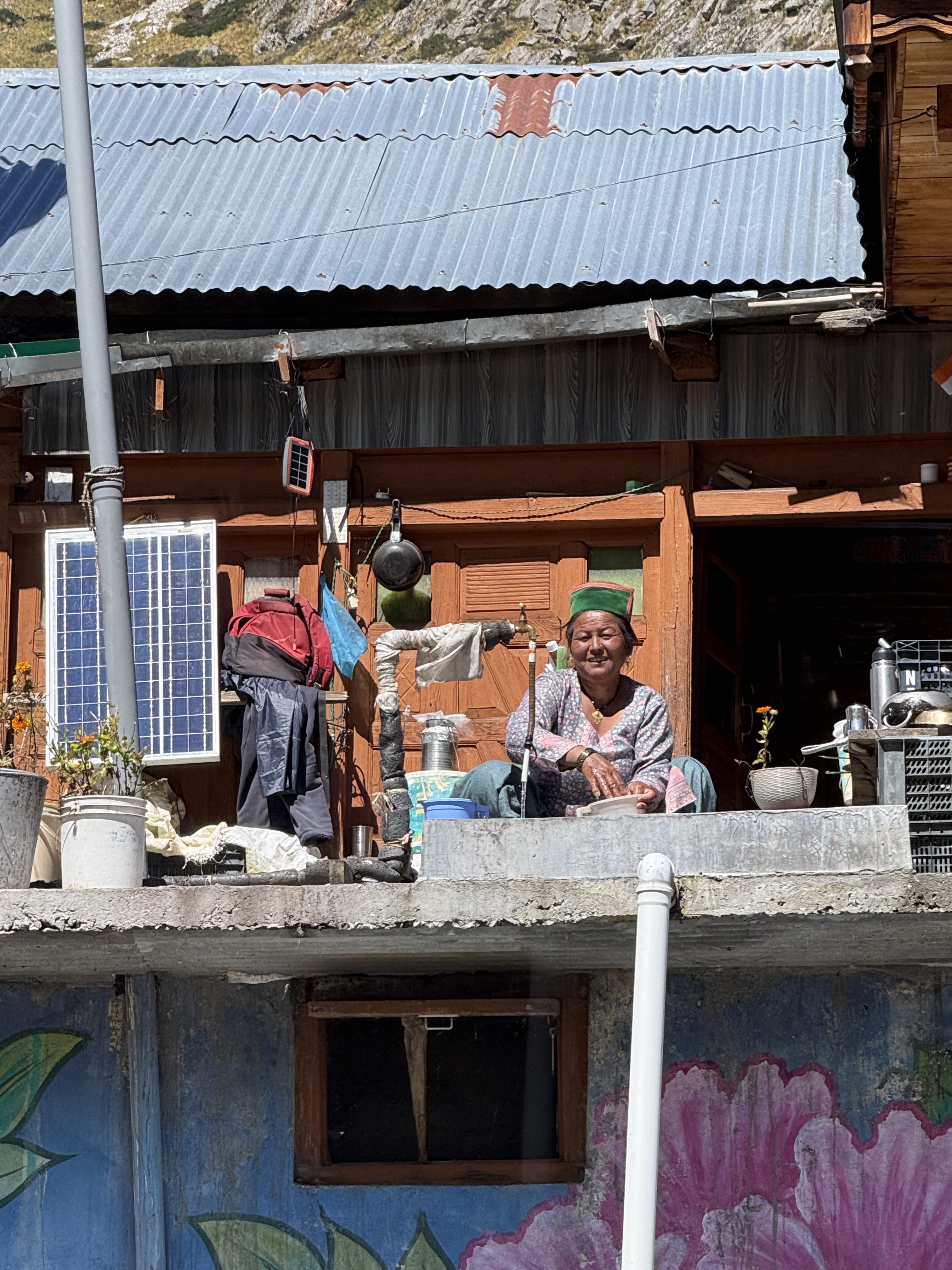
We had now left Kinnaur for Spiti. For me, my main reason for this trip starts in Tabo. I’m looking forward to learning more about Spiti. It was interesting to learn a bit about the different cultural traits of the Kinnaur peoples. Their flatish hats/caps with one side green and the other brown, seem to reflect the green mountains and fertile earth. They speak a distinct language different from standard Hindi or Tibetan, but more like Tibetan than Hindi. They worship deities from both religions and believe that the deities have feelings and emotions like humans. The deities live among the people and are not separate from them. This corresponds to their belief that Kinnaur is the land between heaven and earth, and Kinnauris are between gods and humans. The mountains surrounding Sangla, Betsari, Chitkul, Rechung Peo and Kalpa certainly give credence to this belief as they tower to the sky.