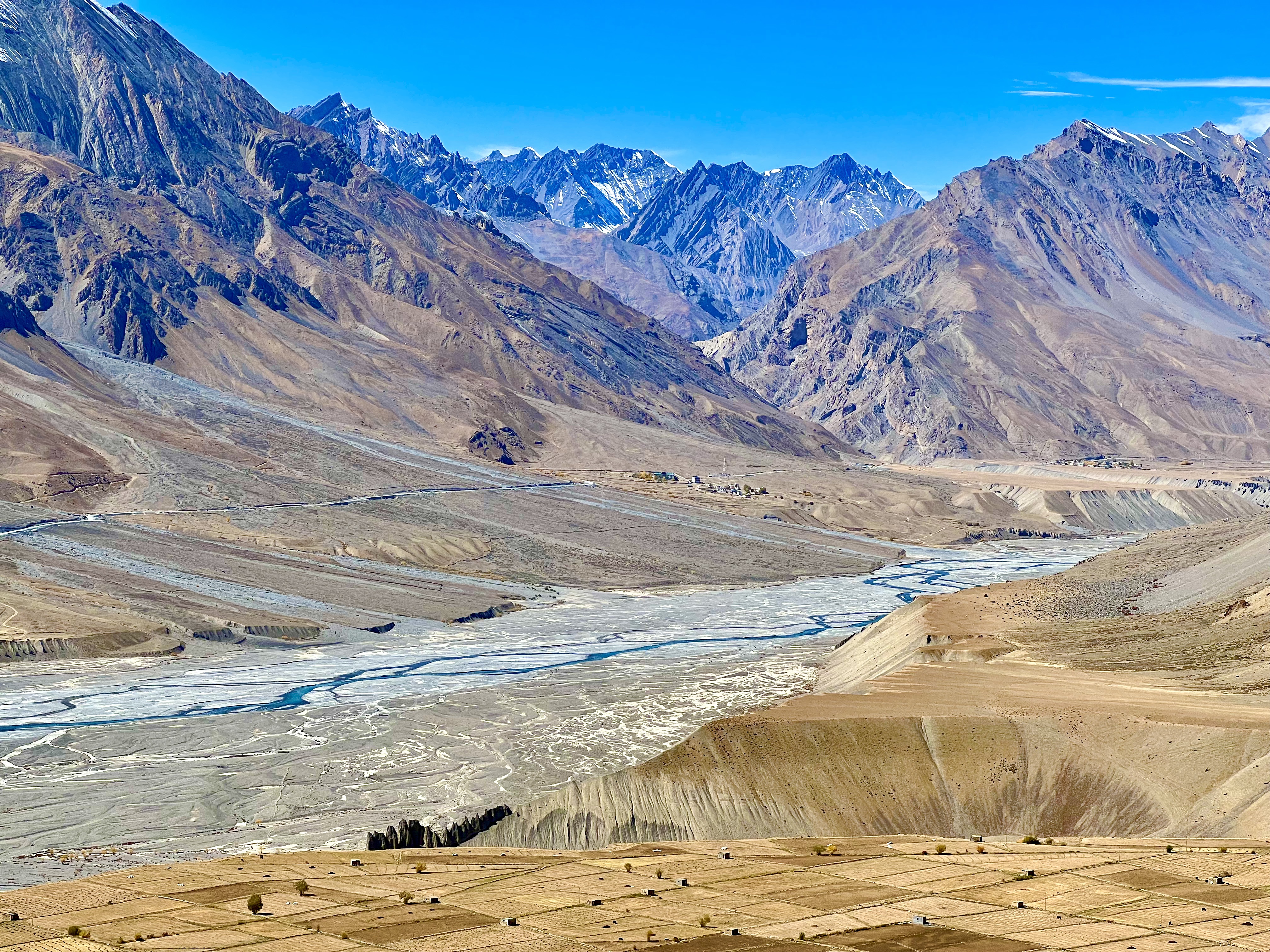
The name Spiti refers to “middle province” in Tibetan and that is geographically what this region is as it is situated between Ladakh, Tibet and Kinnaur. Each has their own distinct culture and language. Spiti Bhoti, for example, belongs to the Tibetan-Burman family. They can understand Ladakhis, but the languages are different; I was told it was like the difference between Spanish and Portuguese. Upper Kinnauri is also part of this family, while Lower Kinnauri relates to the Aryan-Indo language family. Genetically, the Spitians come from Sino-Mongolese peoples. This region as well as Kinnaur and parts of the Punjab were under the Tethy primeval sea and in places fossils can still be found. Spiti came under the jurisdiction of the Tibetan Buddhist kings around the 7th C, so basically at the beginning of Tibetan Buddhism. During the early 19th C, the boundaries for Spiti and Ladakh and China became fixed, with Spiti and Ladakh coming under British rule.
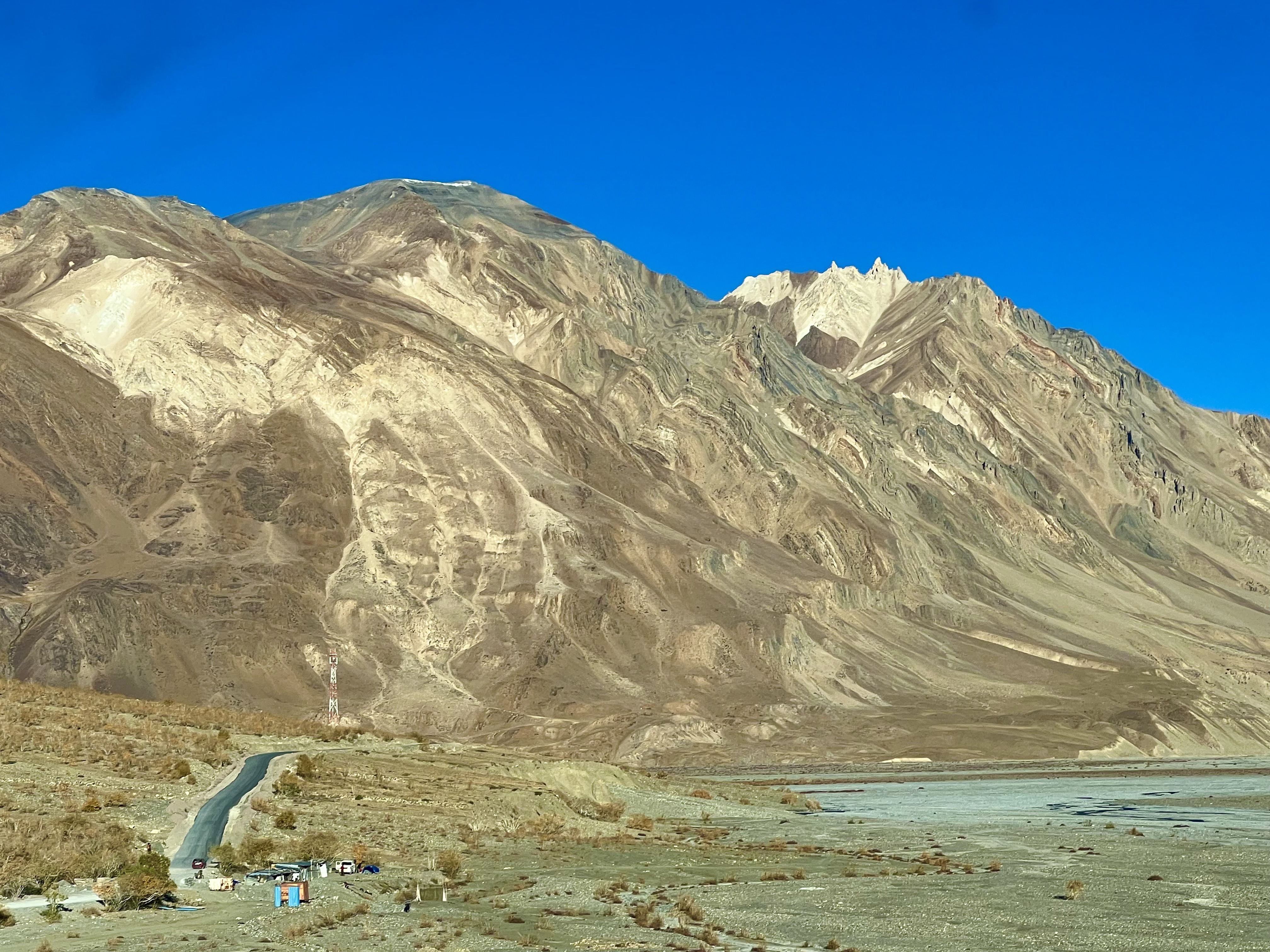
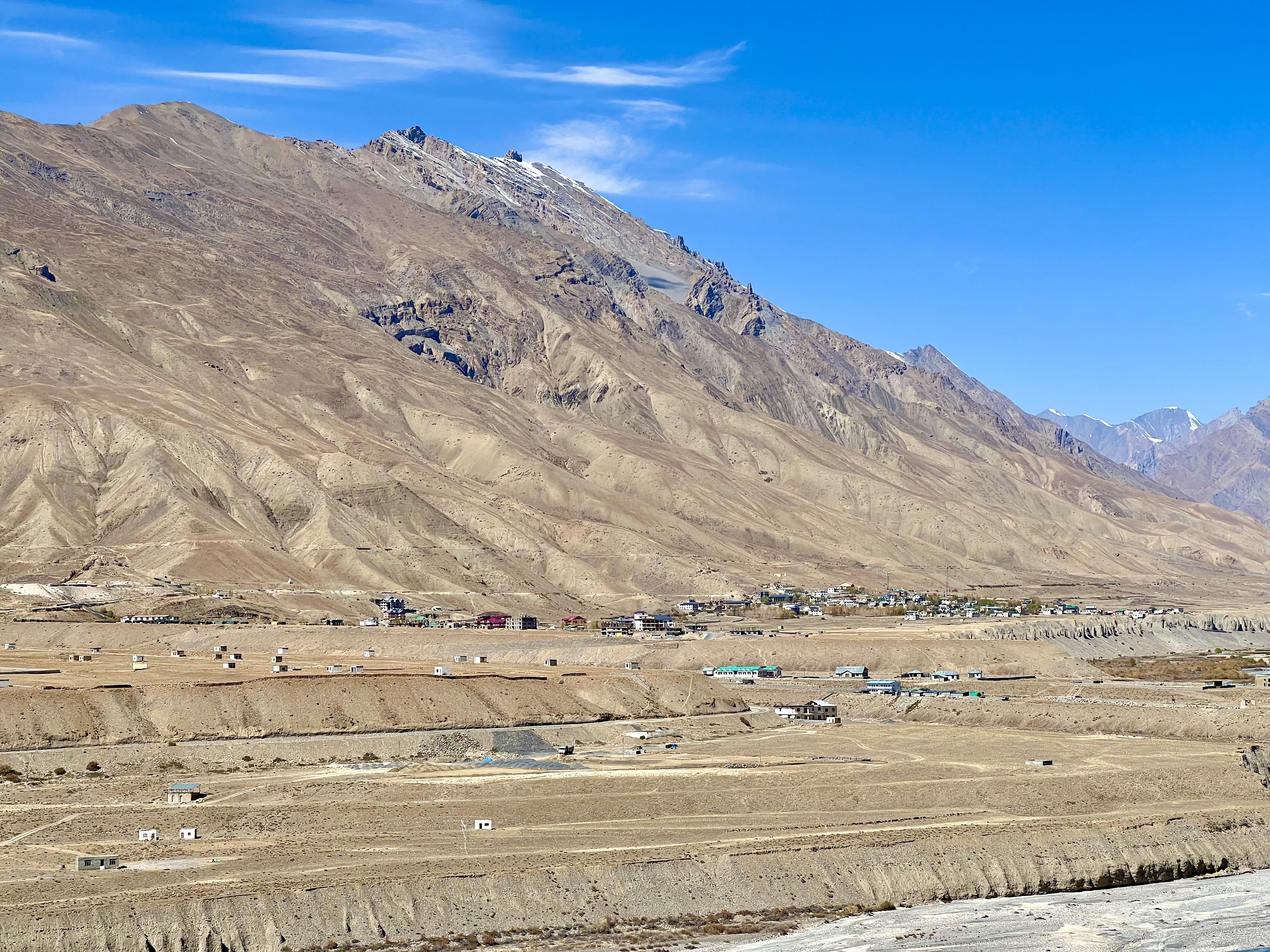
Getting in and out of Spiti has always been a challenge as the mountains provide only a few passes and are difficult to cross. Even today, the region is not readily accessible as there is only one way to traverse the district and that entails horrendous jeep track mountain roads. I thought the roads in Kinnaur were bad; I hadn’t yet experienced those in Spiti! From the south, the road enters soon after the Nako Monastery in Kinnaur and exits in the north via the Kunzum Pass, which is beautiful, but getting up and down from there is treacherous. The Spiti mountains aren’t the highest in the world, that honor goes to Nepal, but at 5,000m they aren’t small and they are steep. The lowest region in Spiti is at the Tabo Monastery that sits at ‘only’ 3,280m. Almost everywhere else in the district the villages are above 3,400m, which the highest, Komic, at 4,520m. The area receives very little rainfall, which means the mountains have high desert vegetations or none whatsoever. Many of the houses use mud and wood as the main construction elements. (Spitian: People, Culture, Vista) Tabo’s temples are all made this way.
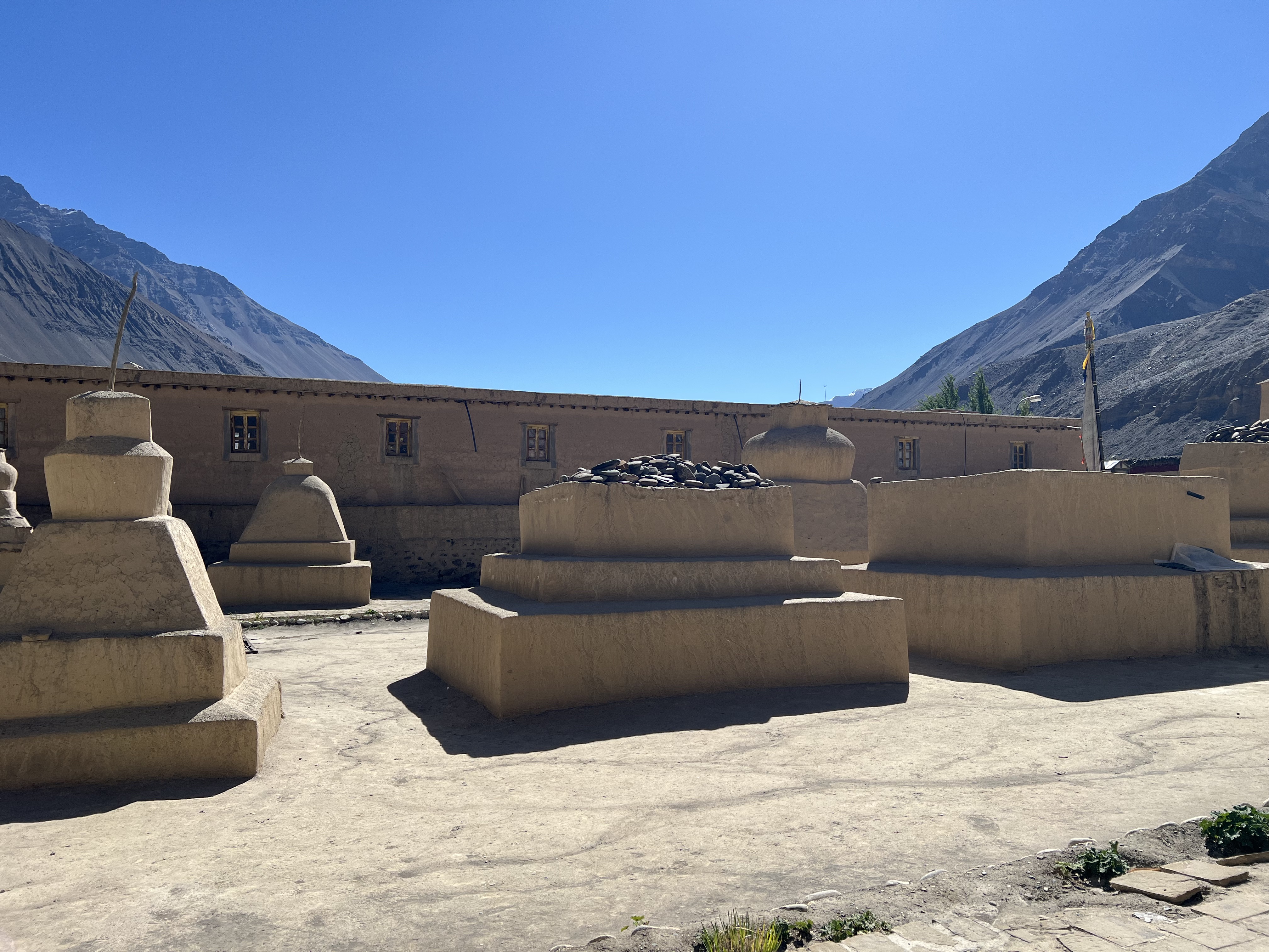
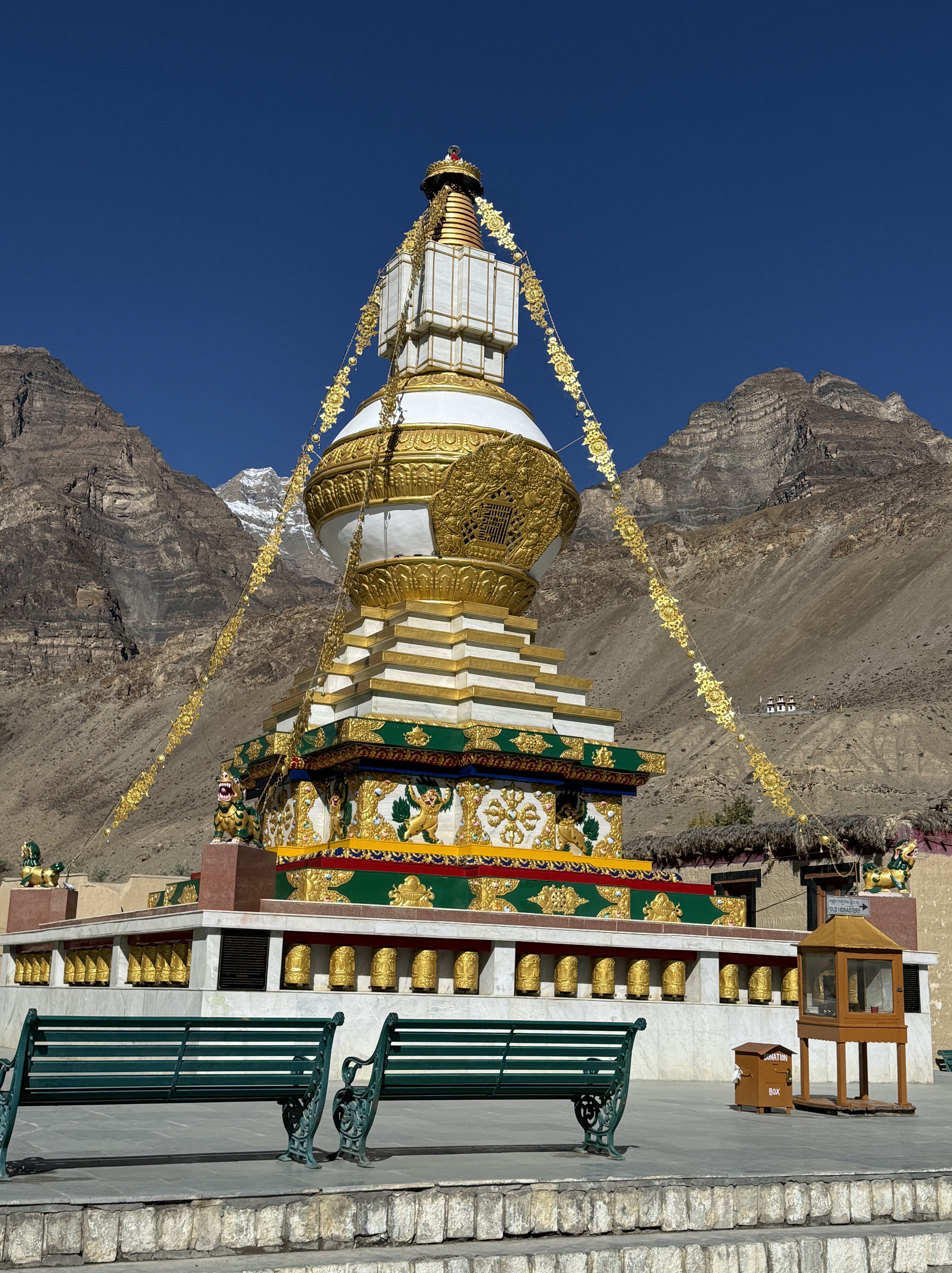
Tabo Monastery is the oldest continuously practicing monastery in the region. According to the Tabo website, the monastery was founded in 996 by the Buddhist king and royal lama Yeshe Ö. The name means “place of happiness.” An inscription in the main hall states that it was renovated in 1042 by his grandnephew. “The main temple at Tabo was a royal monument and its decorative program was based on the ideology of its patrons: legitimacy, status and piety.” (Spitian: People, Culture, Vista) The monastery grew in four major phases, with the main hall in 996, then the Maitreya and Mandala temples in the 11th C, the Golden Temple sometime between 1450 and 1550, and the remaining five temples between 1600 and 1900. There is a legend, however, that says “the Great Translator, Lotsawa Rinchen Zangpo requested the devis and devatas build one hundred and eight temples here in one night. But they could only complete eight. Then as dawn was breaking, the Lotsawa saw an old woman on the street carrying an empty basket. That was considered inauspicious. In any case, the devis and devatas didn’t want to be discovered, so they flew away and never returned.” (Legends of Spiti) The ninth temple, the one that is dedicated to feminine energy in the form of goddesses and nuns, was the last to be completed in the 19th C.
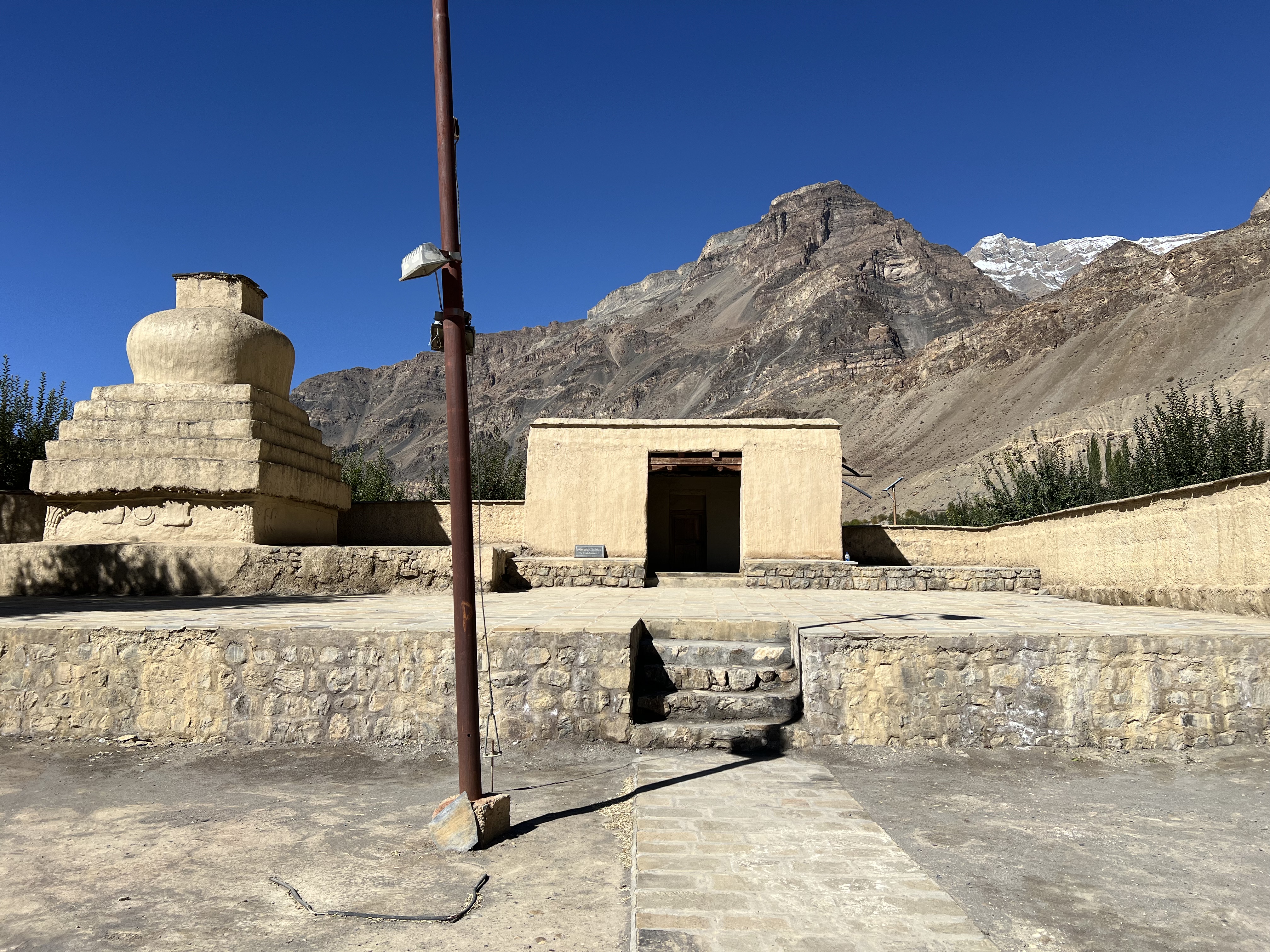
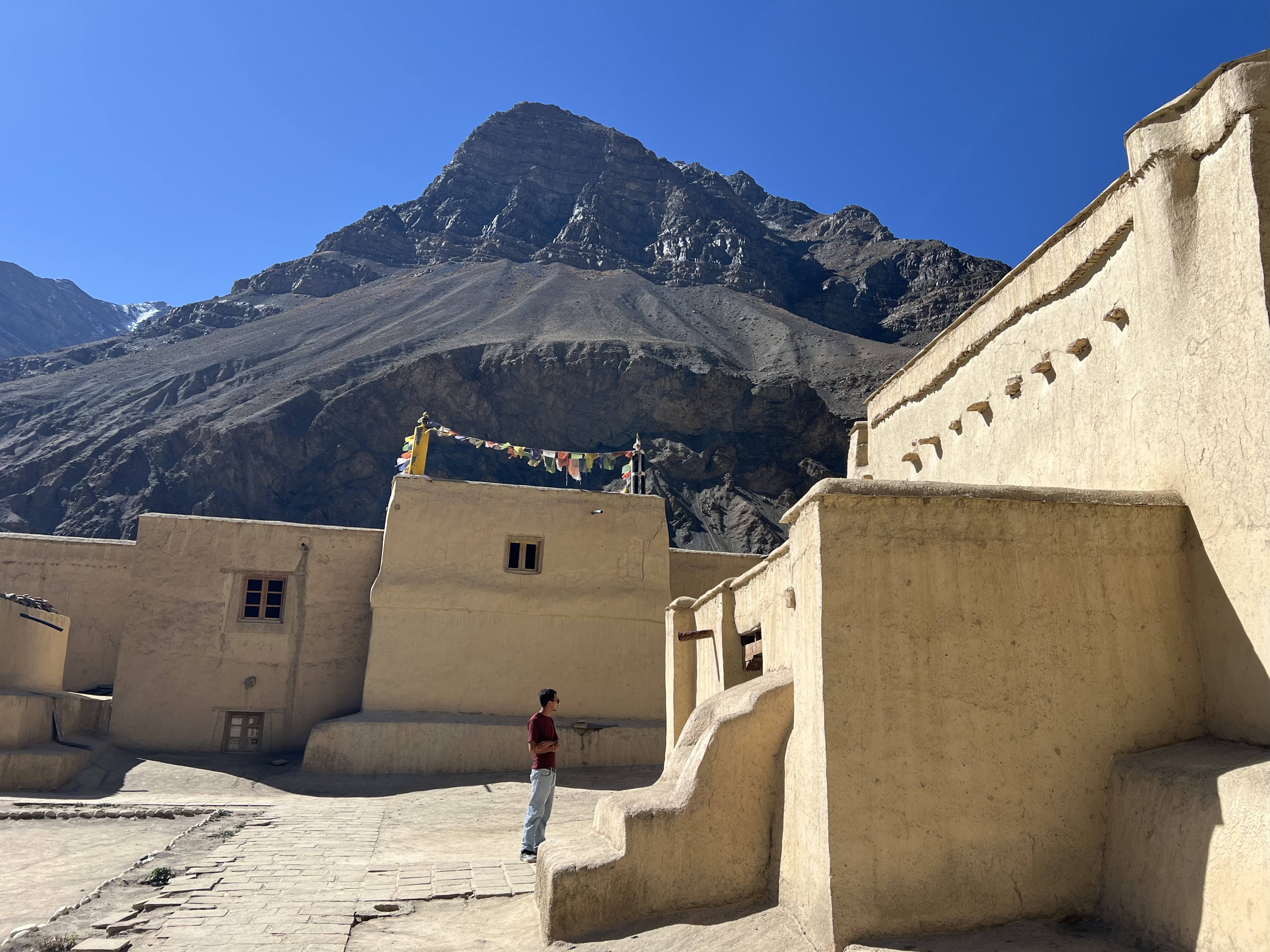
Tabo was from its beginning a center of learning and of translating. Many Indian scholars came here to study Tibetan and to exchange ideas on Buddhist texts. This exchange also led to a blending of Tibetan and Indian artistic forms still seen in the imagery on the monastery walls. The individual temples are in the old mud hut style, which makes the interior quite dark. Unfortunately, photography isn’t allowed inside the temples, so I can’t show you some of the amazing artwork. Tabo is considered the “Ajanta of the Himalayas” and you can read about my impressions of Ajanta in an earlier blog, posted on the World Nomads website. (https://journals.worldnomads.com/krodin/story/108723/India/Aurangabad-and-Ajanta-Experiences) Suffice it to say, that each temple we were allowed to visit had floor to ceiling ancient paintings. Each temple had their own theme depicting mandalas, teachers, bodhisattvas, devis, and/or religious leaders pertinent to that particular temple. In addition to the main hall, temples are dedicated to Maitreya, Mandalas, Large Brom-ston, new Entry Hall/Temple of the Master, the Protector’s Chapel, and the Nun’s Temple, which is also called the White Temple or Goddess Temple.
The Main Hall is entered through the Entry Hall, and I was surprised to find Ganesha, the Hindu god of thresholds, right there. There are also images of women deities, again as protectresses, including the goddess Wi-nyu-nin (Dorje Chenmo) and her eight companions on the back of the entrance. The main deity in the Main Hall is Vairocana, and 32 painted clay sculptures of the dhyana Buddha families are lined along the walls. There is also an image of the Goddess Dharmameghabhumi in the Main all, along with one of her in the Mandala Temple. The Protector’s Temple is dedicated to Tsamsing, the female protectress of the site. There are a few images of the artwork on the Tabo Monastery website for more complete information than I can give here. (tabomonastery.org) I was sorry that not all of the temples were open as the ancient paintings are magnificent but was thrilled to see what I did. Tabo is truly a unique and amazing site.
The day’s itinerary included Tabo, then Kungri Monastery, followed by the village Mudh, a walk in the Pin Valley and finally on to Kaza.
Unfortunately, things didn’t go as planned. From Tabo we drove to Kungri Monastery on what at first was a miserable jeep track, then at the gate to the Kungri Monastery and entrance to Pin Valley a very welcomed asphalted road appeared. Tanzin drove us to what looked like the main monastery, but it was a new one under construction.
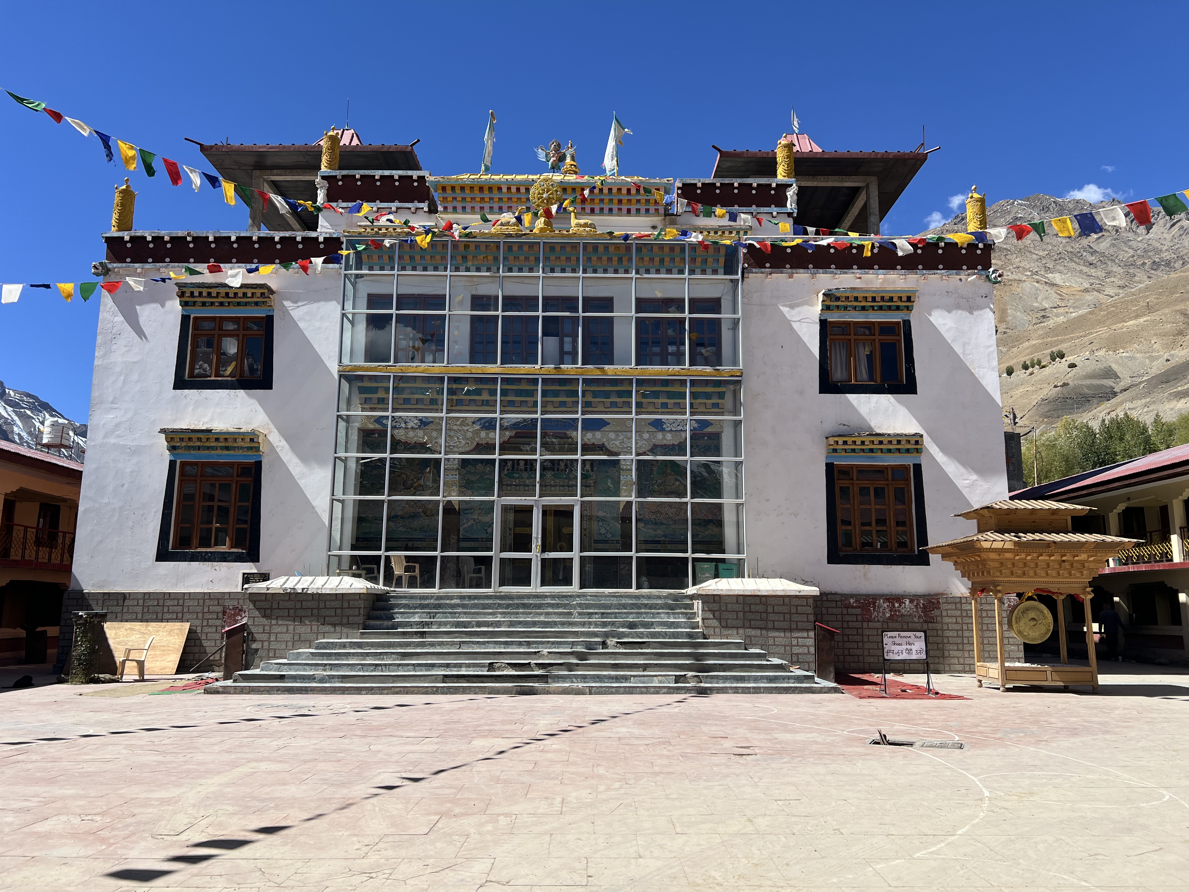
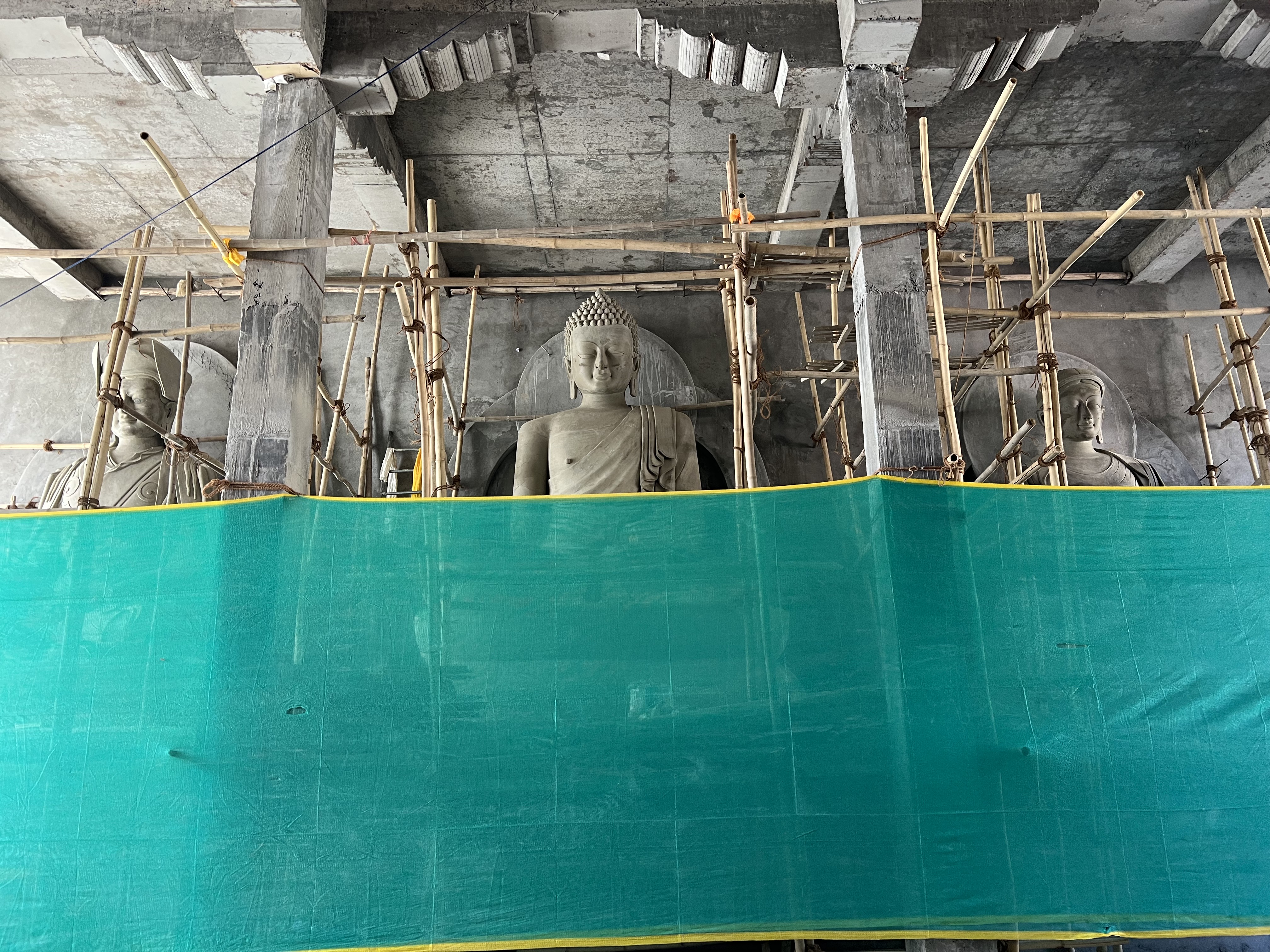
I was disappointed that we didn’t get to see the old Kungri monastery which was built in 1330 CE and is the only old Nyimgma sect of Tibetan Buddhism in the region. Nyimgma was the first Tibetan version on Buddhism and there aren’t many monasteries of this sect left. In the soon-to-be new one, it was interesting to see how they are making the large statues and wall paintings, but I missed seeing the historical site. From Kungri, we headed further into the Pin Valley on the asphalt, and I was hoping that it would continue that way until Mudh, which is the last village in the valley and our destination. Unfortunately, a few kilometers after Kungri the road just stopped. There was a gravel mound stopping vehicles from moving further along and the path beyond was clearly under construction. We had no choice but to turn around and head directly to Kaza, where we arrived around 1:30pm. We first stopped by the Himalayan Café which is owned and run by the tour agency, Spiti Holidays, to meet with the person who organized the tour for me. Tenzin from the agency was quite helpful, offered us lunch and explained about the upcoming tour itinerary. From there we headed to the hotel to check in. As it was still early afternoon, we walked around the market in Kaza, which took less than 15 minutes – it isn’t very large. Kaza is the main administrative center for Spiti District; there is a gas station, an ATM, the small market selling household wares, fruits and vegetables, and the typical tourist keepsakes along with clothing intended for tourists. Most of the other tourists are from India; I only saw a few Europeans, mainly Germans and someone from Switzerland. Kaza is the main business hub, but it isn’t the largest populated town in Spiti, that honor goes to Rangrik across the river not too far from a large private school. Rangrik has the distinction that there is a special festival to honor the Ibex on the third day of Losar. At some point in the past an old Ibex came down to the village, where the villagers took care of him. When he passed, he was honored with this festival as a protector of the community. A similar story with an old snow leopard is told in another village, but they don’t have a dedicated holiday.
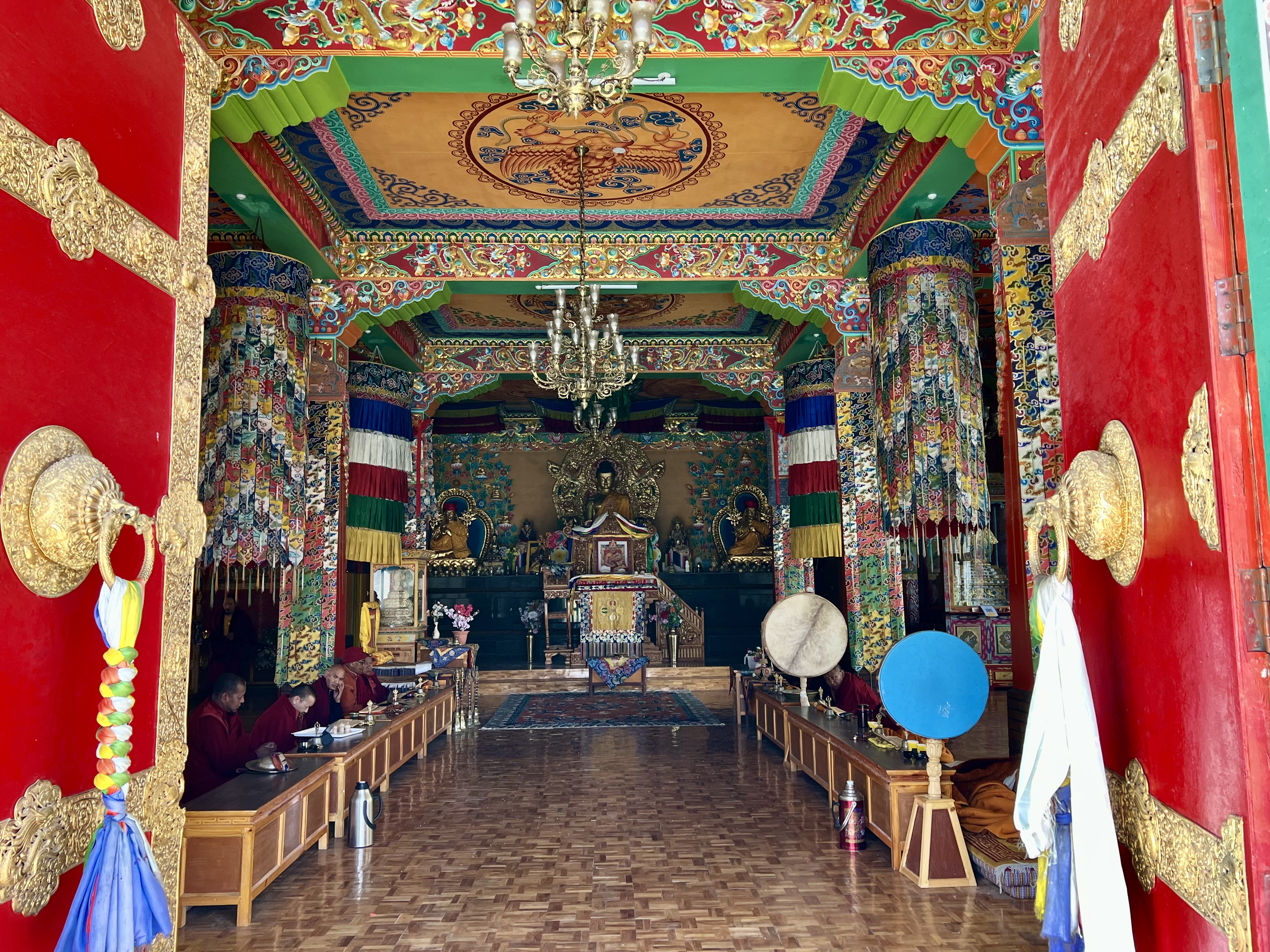
In Kaza, a monastery aligned with the Tangyud monastery in Komic has recently been built, and it is beautiful. A set of stairs off to the side lead behind and above the monastery to a golden Buddha overlooking the valley. On the way is a primary school and further up a couple of meditation caves that can be rented out and two shrines to both Hindu and Buddhist deities. The first has a large orange sculpture of Hanuman with his face covered, next to him are a smaller bronze Buddha and a Bodhisattva. The second has meter tall statues of Rama and Sita. Prayer flags fly all around the shrines. Taking the stone steps further up one comes to the large gilded Buddha. His protective view takes in the river, the mountains all around, and the town. The walk up the steps isn’t long, but I still had to stop to catch my breath a couple of times. Kaza sits at 3,650m, and the altitude requires a bit of an adjustment.
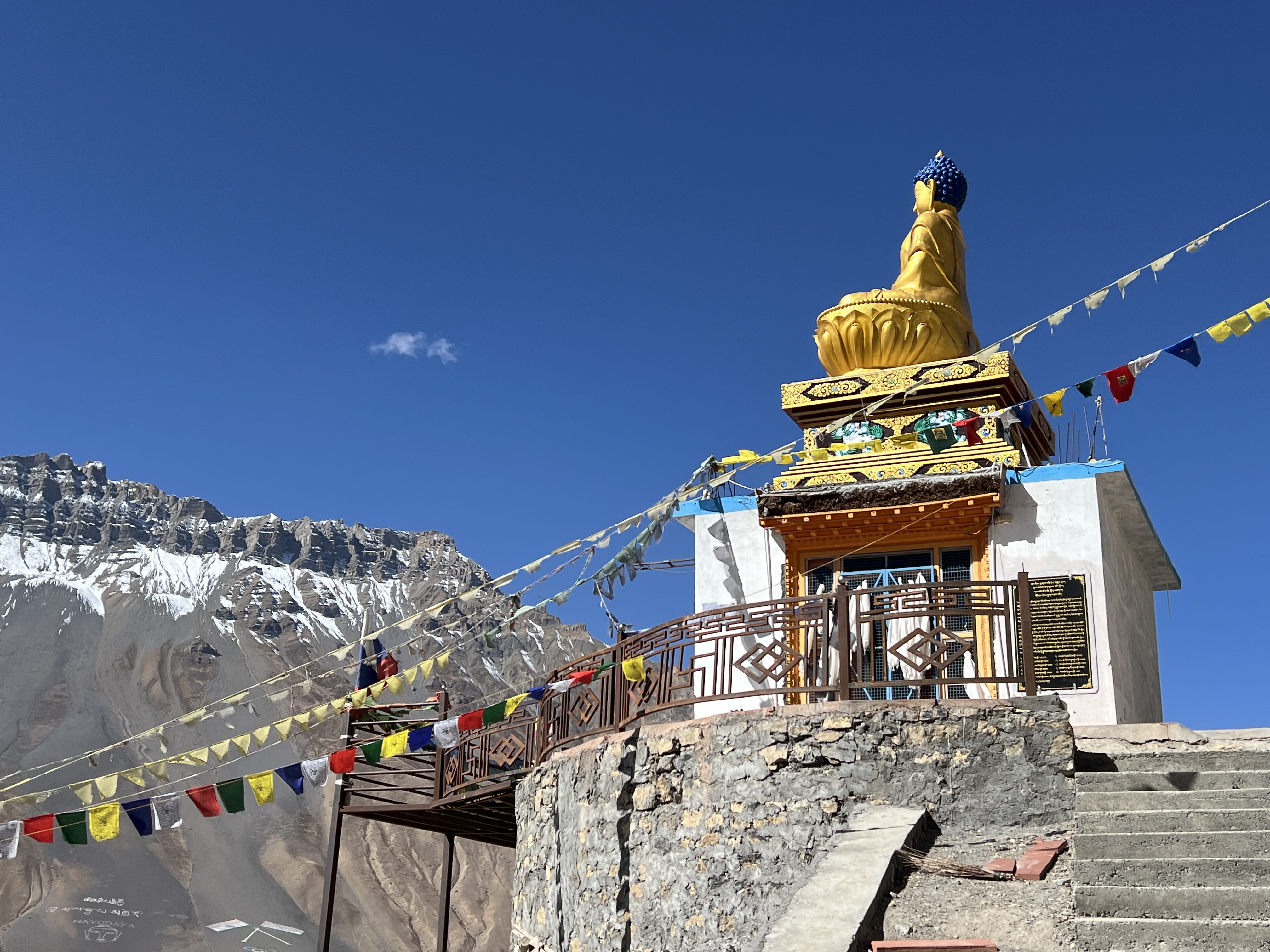
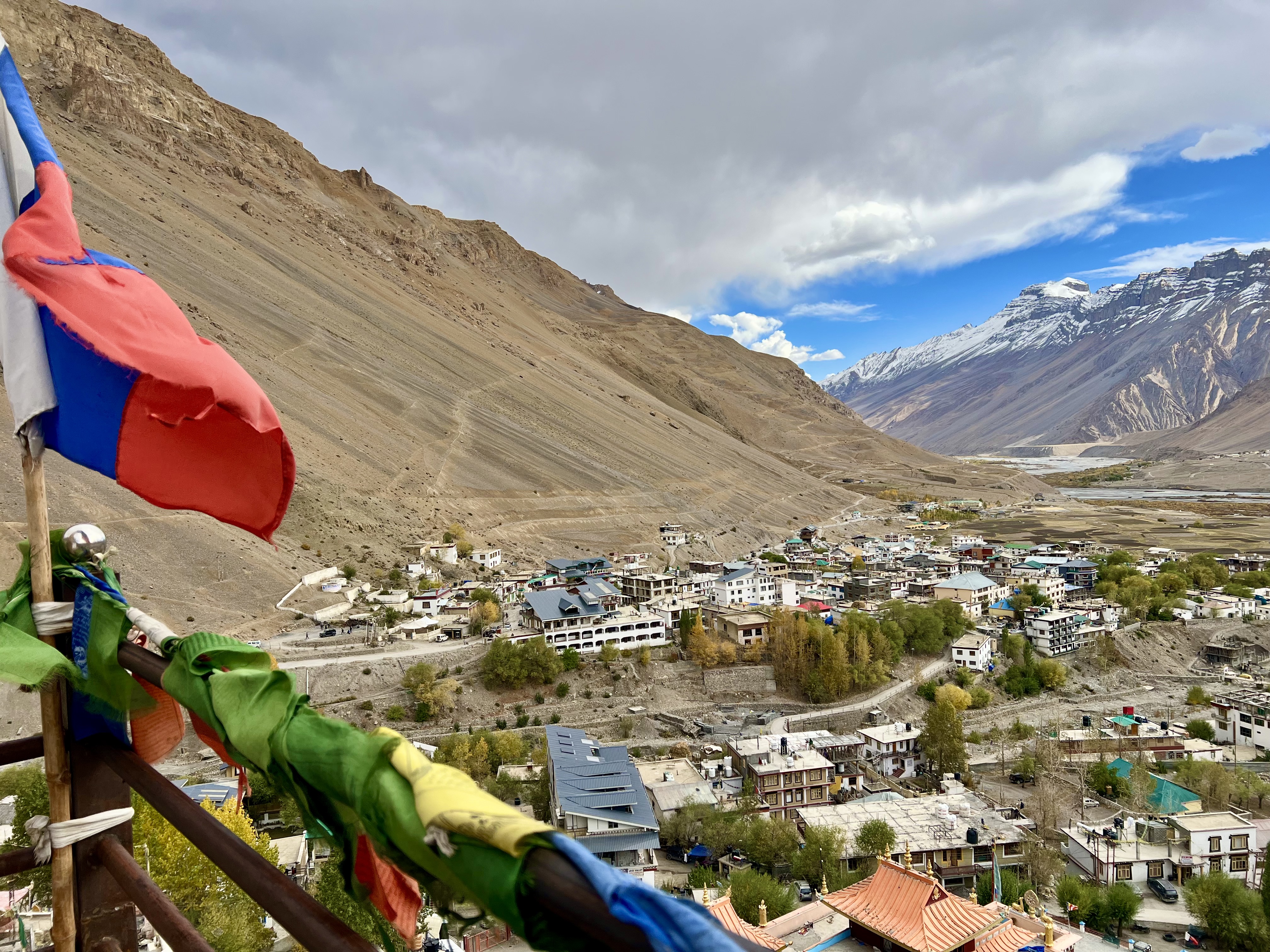
The Sakya Abode Hotel is almost directly across from the beginning of the steps to the Buddha, so that short climb provided morning exercise. The hotel is new and the owners delightful. They have a library with books about the region, which helped with some of the details for this blog, although many don’t have any copyright information. The one thing they didn’t have in the hotel was heat in the room and after the sun went down, it was bitter cold. There were lots of warm blankets for sleeping, but they didn’t help when I wanted to work – or for the shower. I asked for a space heater, and the staff left one in front of my door along with a device with a switch. The plug on the heater wasn’t the right size for the sockets in the room, so this other device needed to be connected to the wall outlets. Unfortunately, the cables on the device were bare copper wires, and I wasn’t sure what to do with them as I am absolutely not an electrician and have already had one fire in a hotel room in Nepal from faulty sockets. I went down to the reception and asked how the device should be hooked up; the hostess came upstairs with me took the bare copper threads and stuck them in the wall socket, then turned on the heater. She warned that it should only be on for a couple of hours and not while I slept. The first night I was there I had it on for a couple of hours, which didn’t make the room warm, but did take out the chill. The next evening, I turned it on and used another socket on the other side of the room to charge my phone. Suddenly, the room went dark and the power was out. Luckily, no fire, but the connection was clearly not stable. I unplugged the device and the next morning the power was back on.
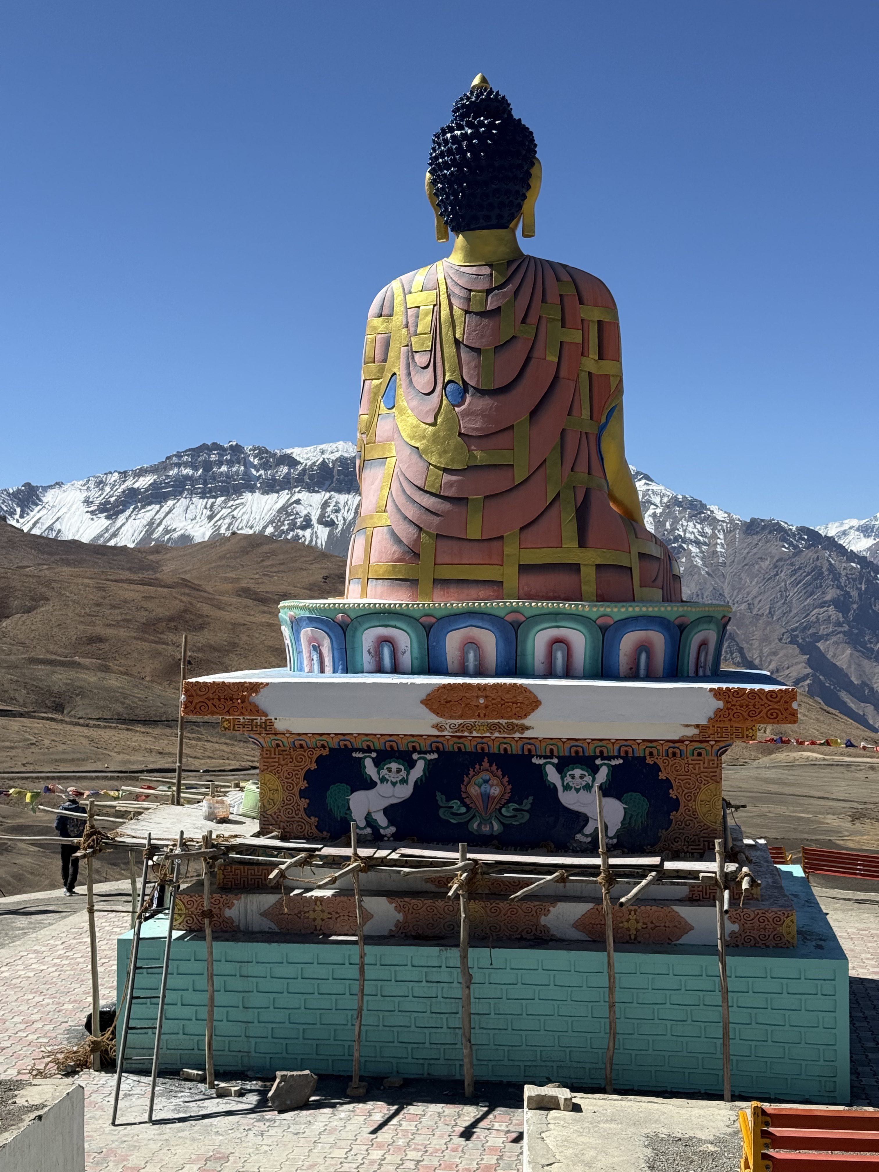
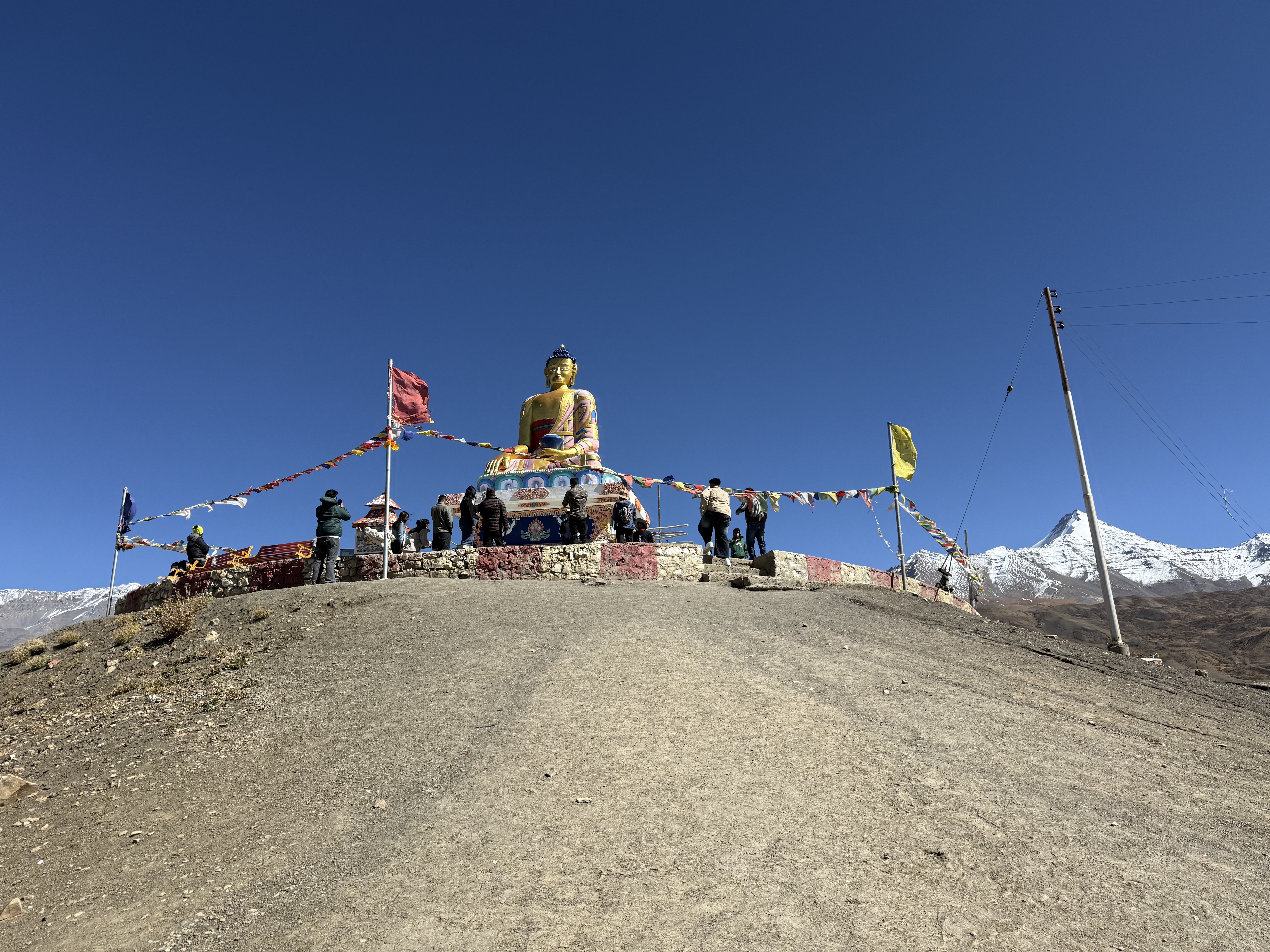
For the second day in Kaza, we took a tour to three sites, Langza, Komic and Hikkim. The road, once again, was in parts hair-raising. The first section to Langza was more or less paved. Langza village is famous for its 35 ft tall golden Buddha statue overlooking the valley and mountains; it is clearly visible from the road. The stop in Langza was just to see the Buddha. The path to the statue from the parking lot had vendors selling everything from postcards to woolen caps and mittens. Not far from the statue is a path leading to a geological exploration site, where people come to find fossils from the ancient lake. Tanzin said that twenty years ago the place was full of fossils, but now so many people have taken them as souvenirs that it is difficult to find them.
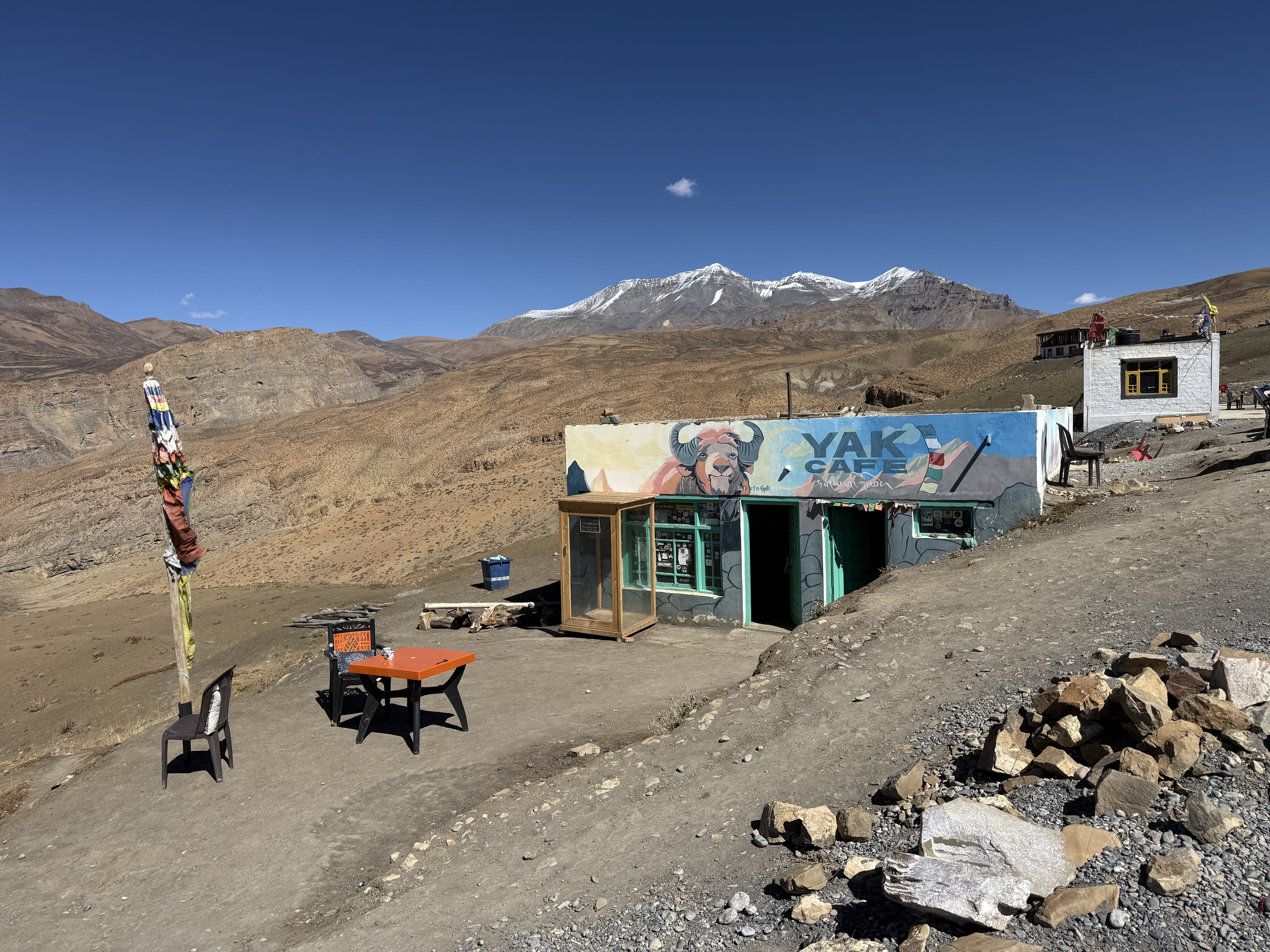
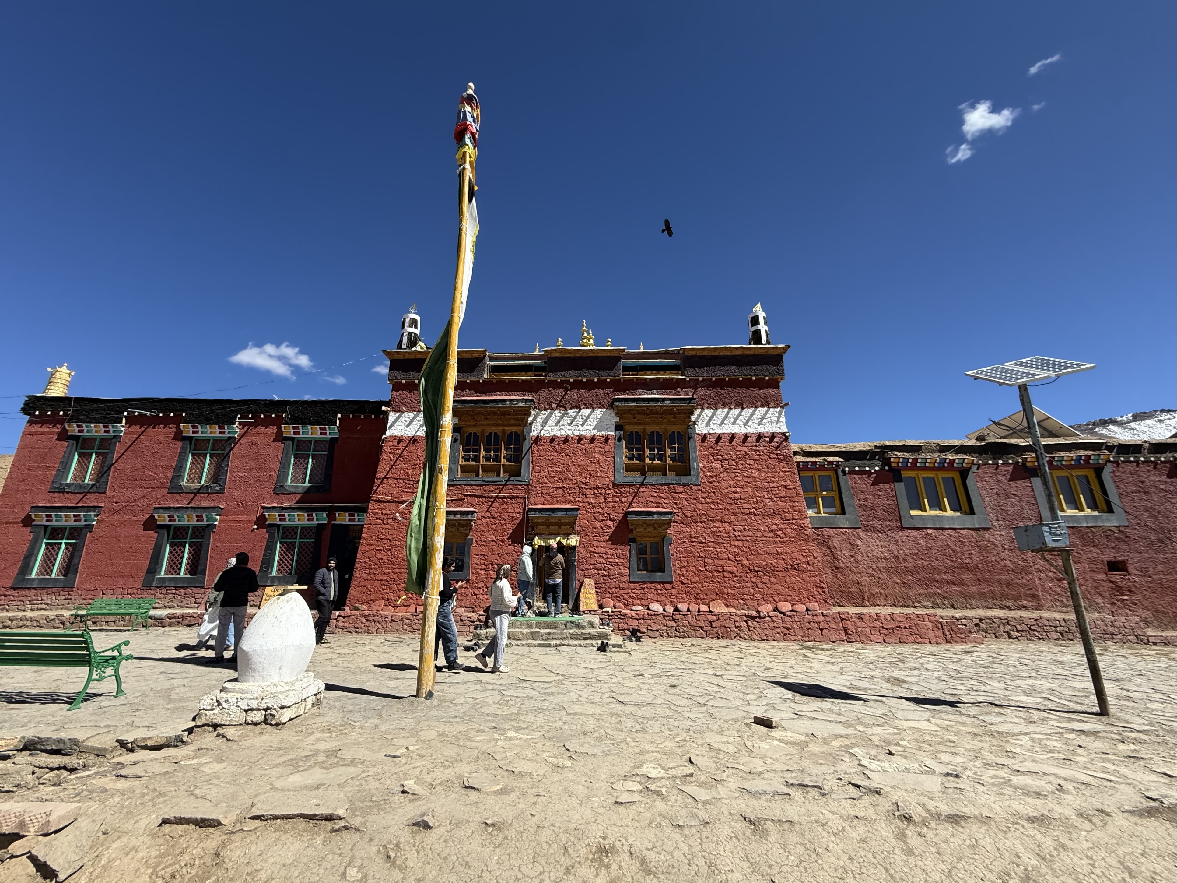
From Langza we drove further up the mountain to the famous Tangyud Monastery at Komic sitting at 4,587m. This Gompa belongs to the Sakya sect of Tibetan Buddhism and is the parent institution of the new monastery in Kaza. The current structure in Komic has been remodeled a few times over the past century. An early monastery from the 14th C was destroyed in the early 20th C by thieves from Kashmir. There may also have been an even earlier monastery from the 11th C, which is supposed to have been initiated by Rinchen Zangpo, the translator of Sanskrit Buddhist texts into Tibetan. Statues of him are in the temple halls. The name of the Gompa is a slight variation on the term used for the Tengyur, one of the translated set of texts. The building is shaped like a fortress or Tibetan castle, which it needed to be to ward off intruders. Monasteries were traditionally places where precious artwork and food was available, both of which were tempting to outsiders. The red ochre walls form a vivid contrast to the sandy brown mountain slopes all around. The monastery is famous not only for being one of the highest in India, but also for its Mahakala statue. During one especially harsh winter, the monks decided to move the monastery to a safer and not quite as cold location a bit further down the mountain in Hikkim. They moved the monastery, but as they tried to take the statue their burden got heavier and heavier. Mahakala didn’t want to leave his home in Komic. In the end, one monk remained with the statue over the winter. The Hikkim monastery was later destroyed in an earthquake in 1975. The ruins of this monastery can still be seen below the village on a knoll overlooking the valley. Today, the statue is in a sealed off room, in the rebuilt monastery in Komic near to the original site. Visitors can sort of get a glimpse of Mahakala from a plexiglass opening in the floor above. When I was there the covering was so dirty, it was impossible to make out what was below.
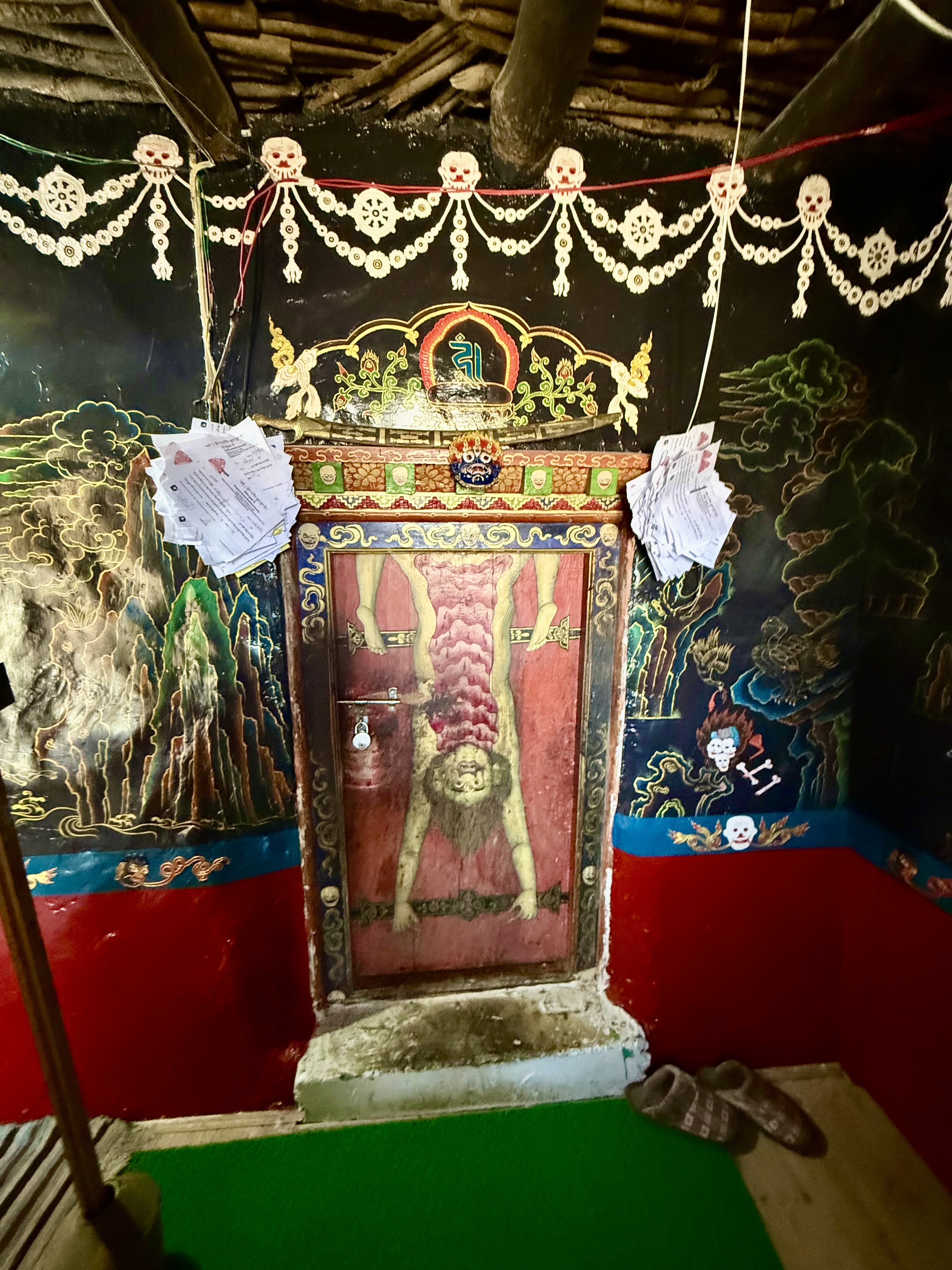
Photography isn’t allowed in any of the older rooms in any of the Spiti gompas, but it usually is the main hall and some of the secondary rooms. The entrance to first section of a side building that we visited had black painted walls, which I found quite unusual. It was only after I realized that this was the section of the monastery dedicated to the Cham Dances and images of Yama, the deity of death, that the black entrance made sense. Up the stairs from the entrance was a large room that was probably both prayer room and library. Some very old thangkas were hanging on the walls, but otherwise the room was bright and modern. In the same building, off to the side of the Yama section was a small museum with artifacts from Spiti daily life. As there tends to be little separation between community and religious activity, it made sense to have the ethnographic museum in the monastery.
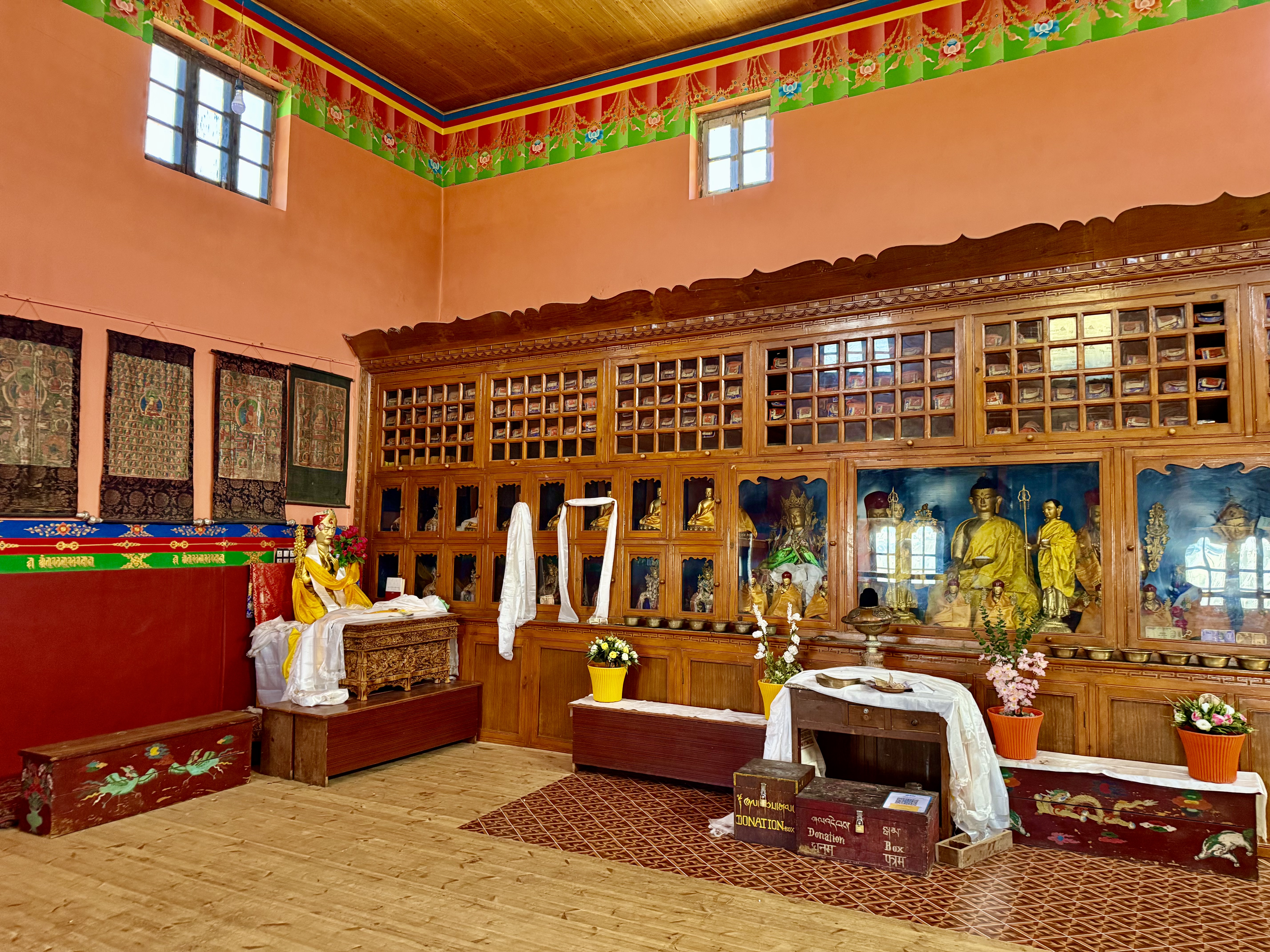
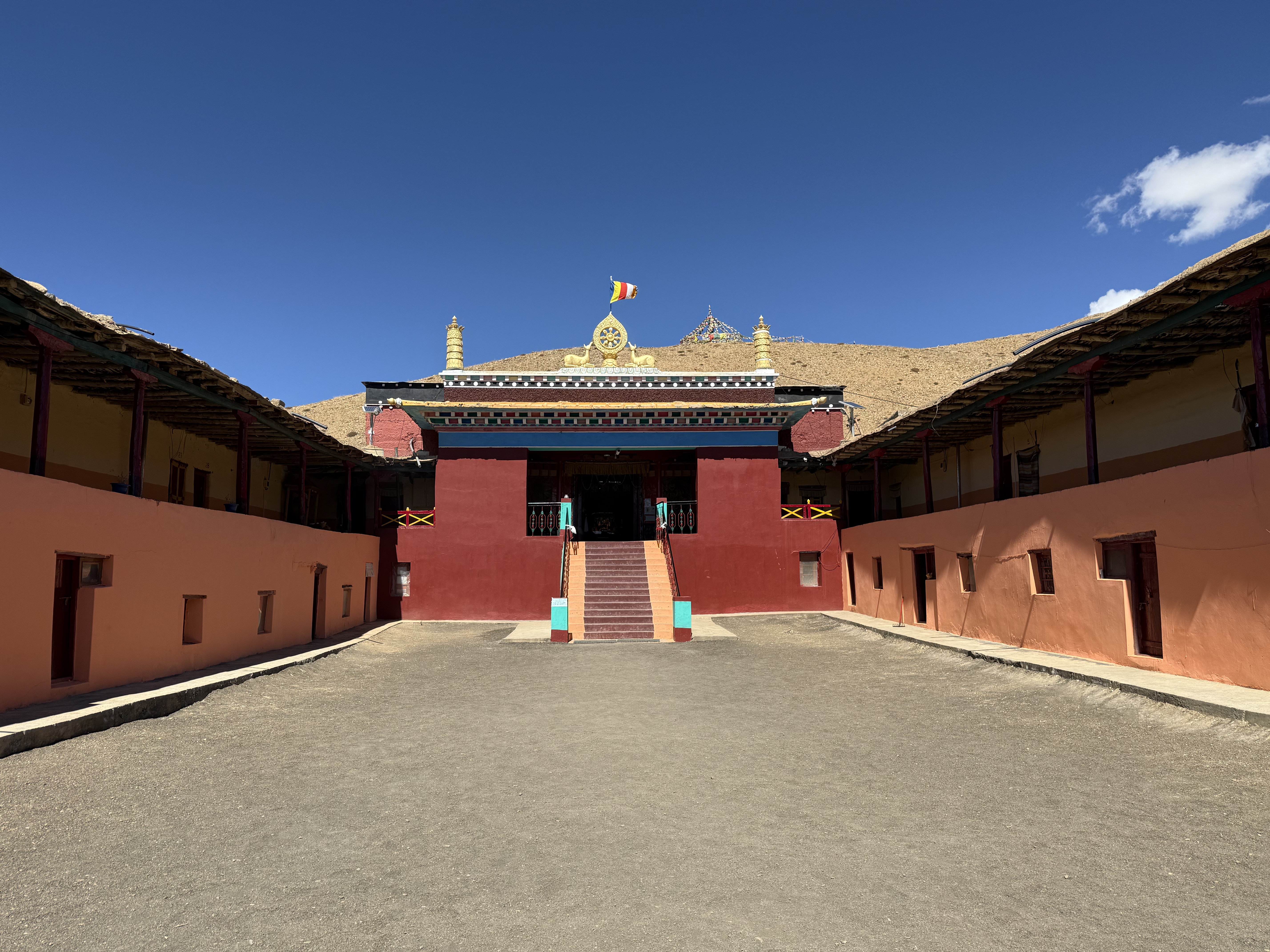
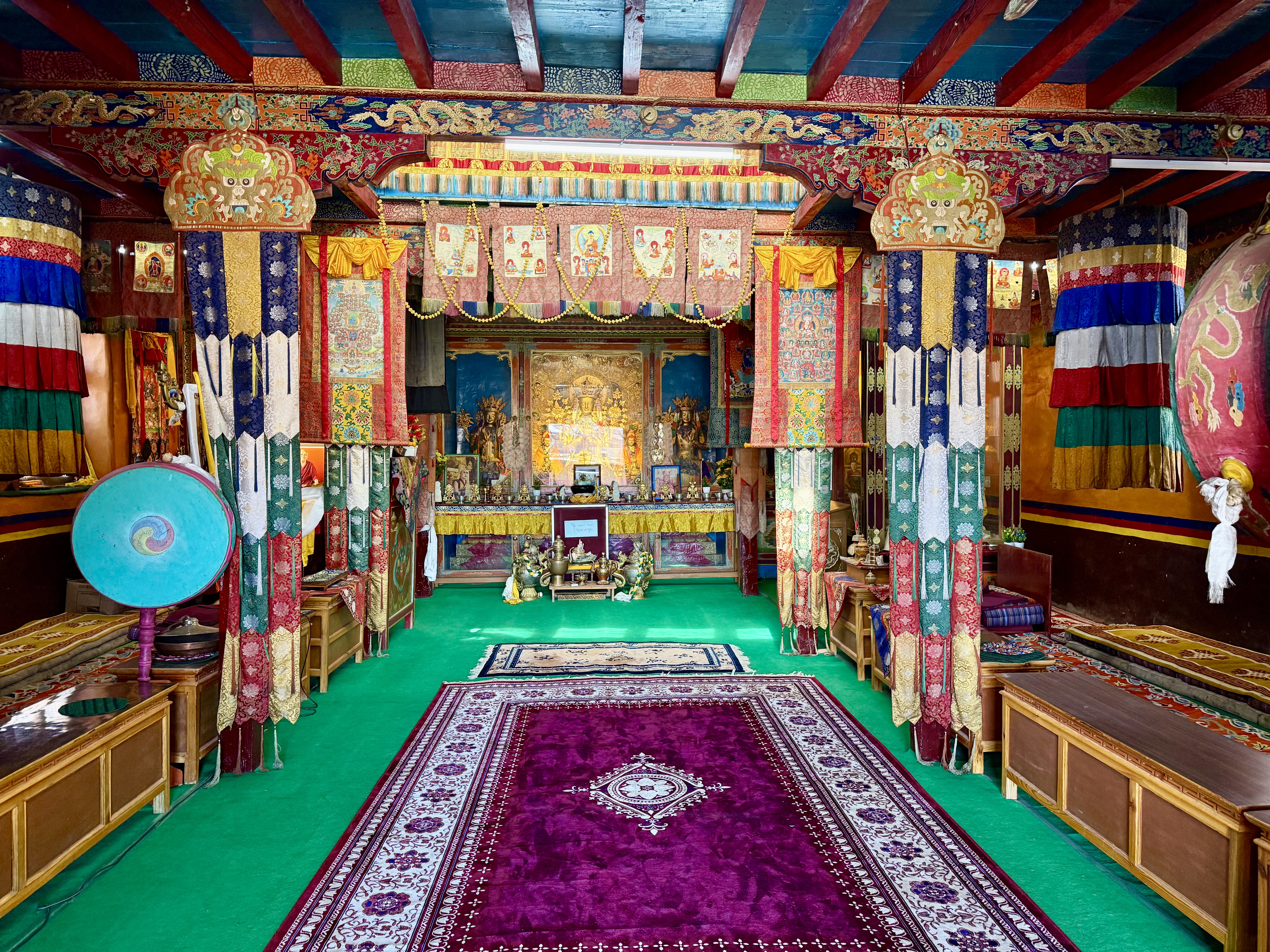
The main section, in the fortress like building, houses the monks’ quarters and the main hall. Four protector guardians are painted directly on the red walls by the entrance. The room was filled with old and new thangkas hanging on the sides and from the ceiling. In the middle of the altar area was a statue of Maitreya, the Buddha of the future. He was flanked by Manjushri and Padmasambhava.
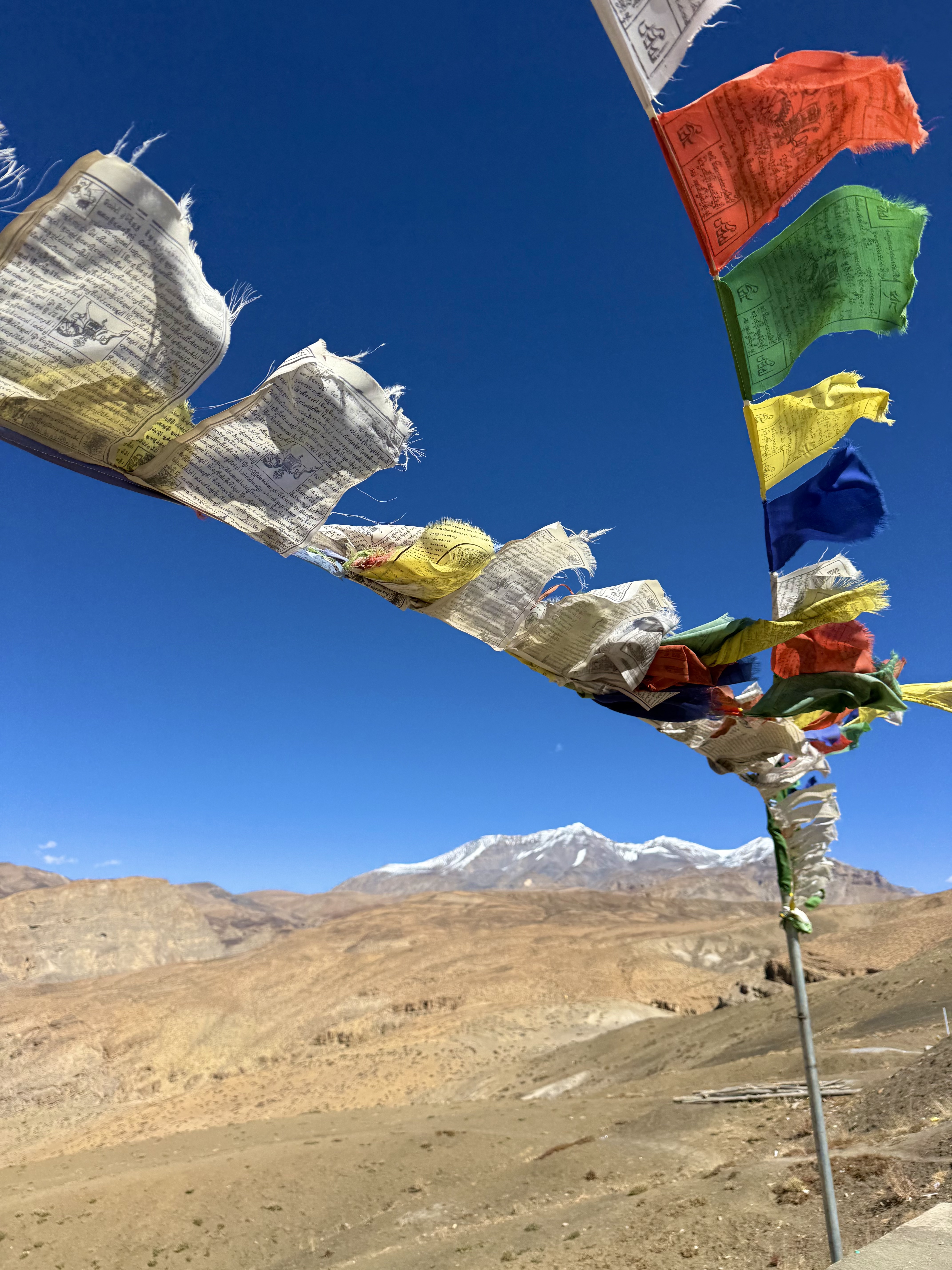
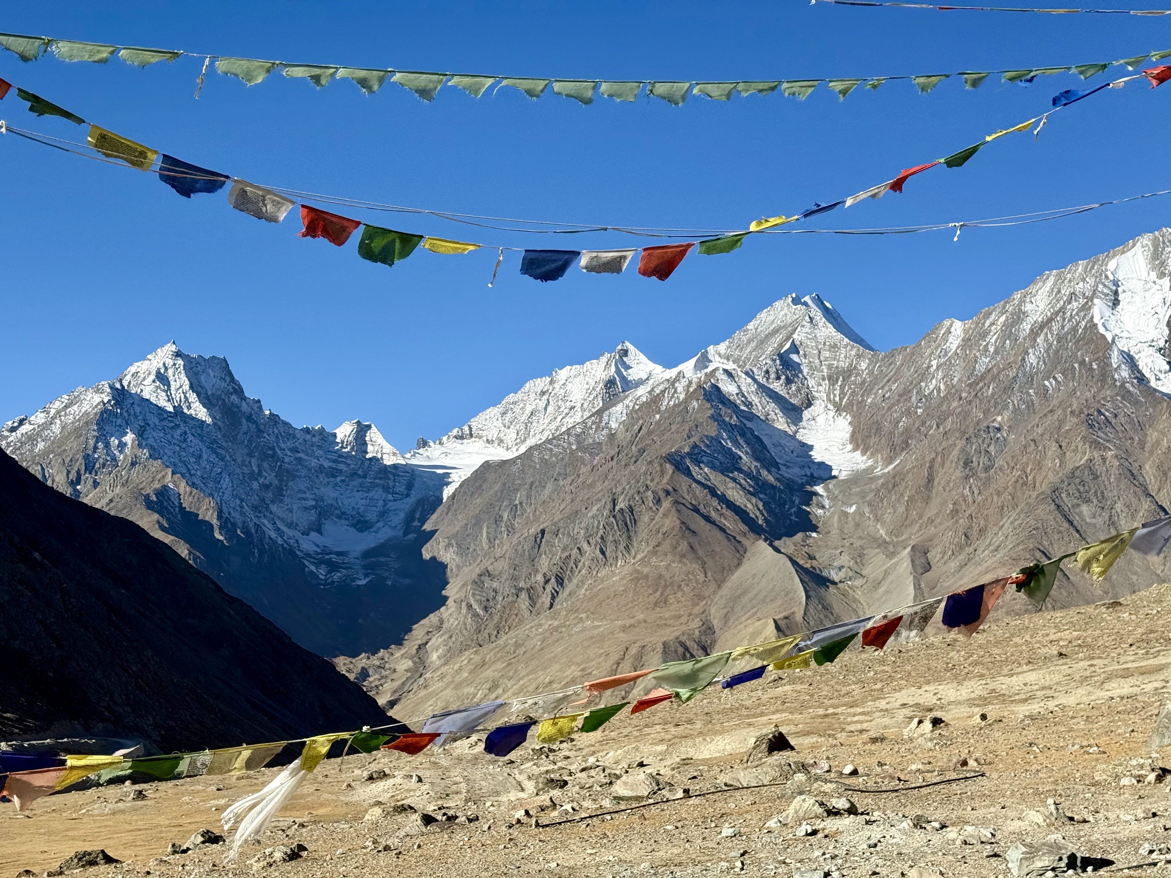
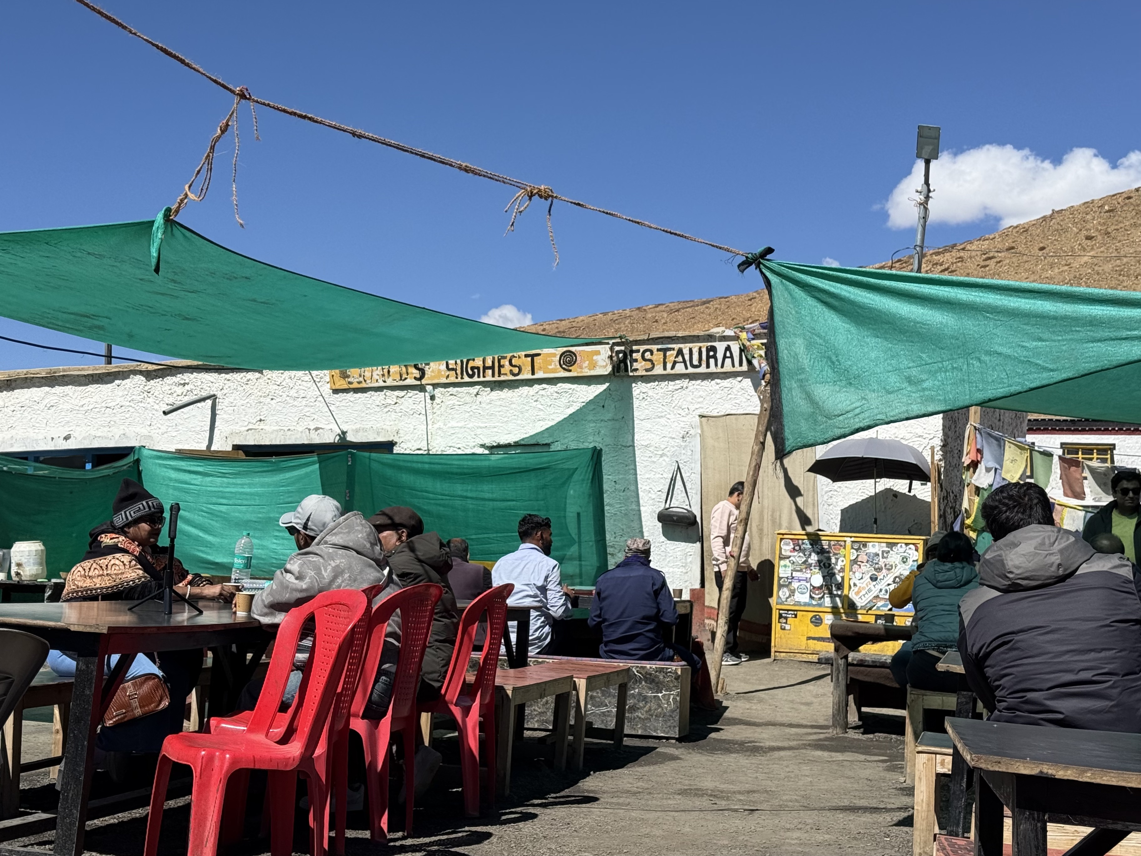
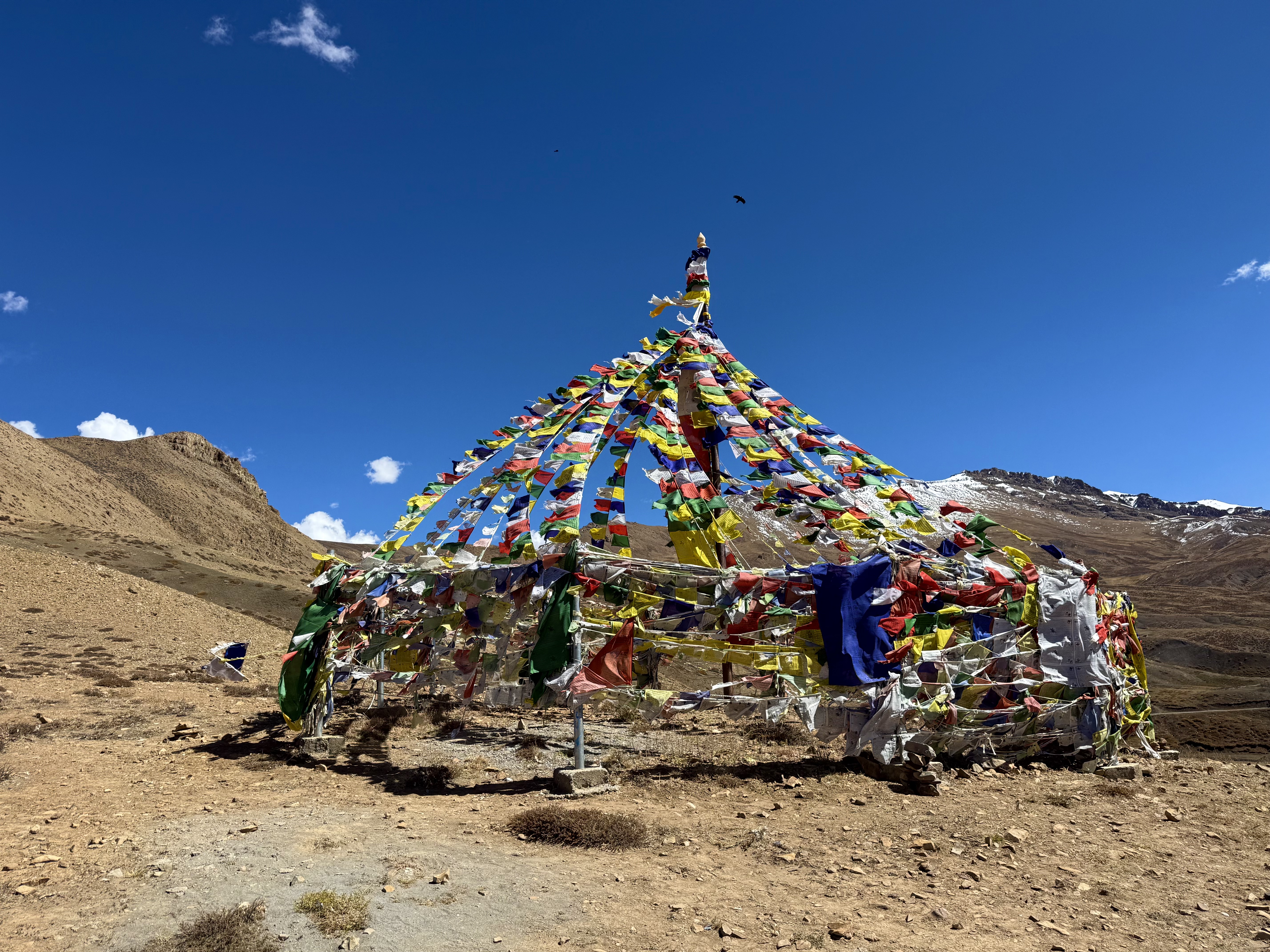
Between the two large buildings was a terrace where a sign said, ‘The World’s Highest Restaurant’. We couldn’t resist and each had hot chocolate there before heading up to a prayer flag shrine above the monastery. On the mountain, it was as if one were in a totally different world. The noise from the tourists below was barely audible, the sounds came from the wind through the prayer flags taking their wishes to the heavens. I went for a short walk and was enveloped in peace. Maybe it was the altitude or the sacredness of the site, but there was a sense of calm and that everything is as it needs to be.
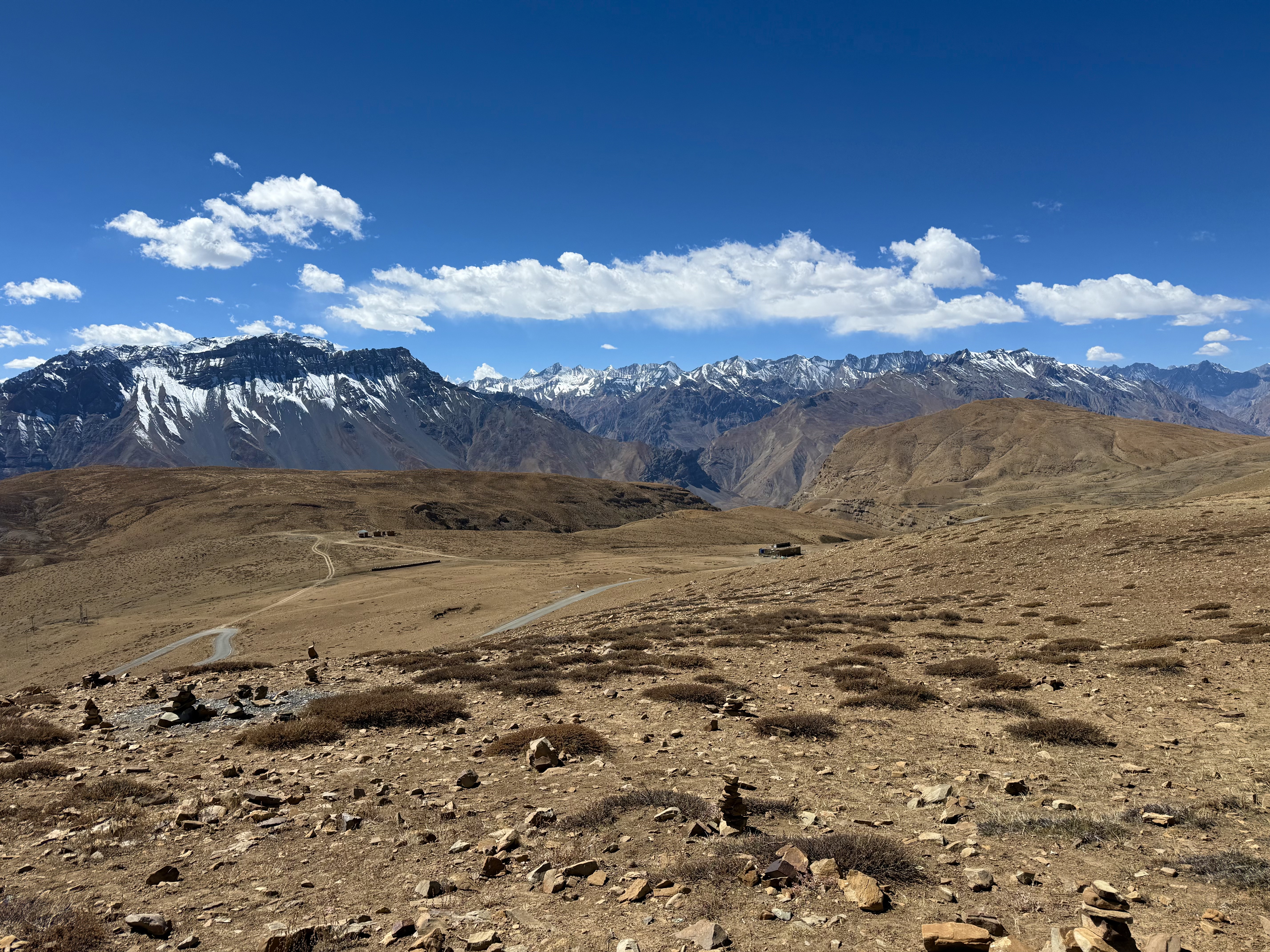
The calm changed on our way down the mountain from Komic village to Hikkim on another of the mind-boggling tracks. ‘Road’ would be well overstated! I’m sure there was another way, but Tanzin sticks to Google maps. Komic and Hikkim are reputed to be the highest year-round inhabited villages as the first sits at 4,520m just below the monastery and the second at 4,400m. Hikkim’s claim to fame is that it is home to the ‘World’s Highest Post Office’. The line to send a postcard was longer than I wanted to wait, so we went for a walk down the hill through the village. The way back up had me breathing hard, but it was a more interesting experience than waiting in a line. The 23 white-washed houses that dot the landscape and comprise the village are made from mud, wood and stone. They aren’t stuck together like in some other villages but have considerable land around them like single family homes, although most house multi-generation families.
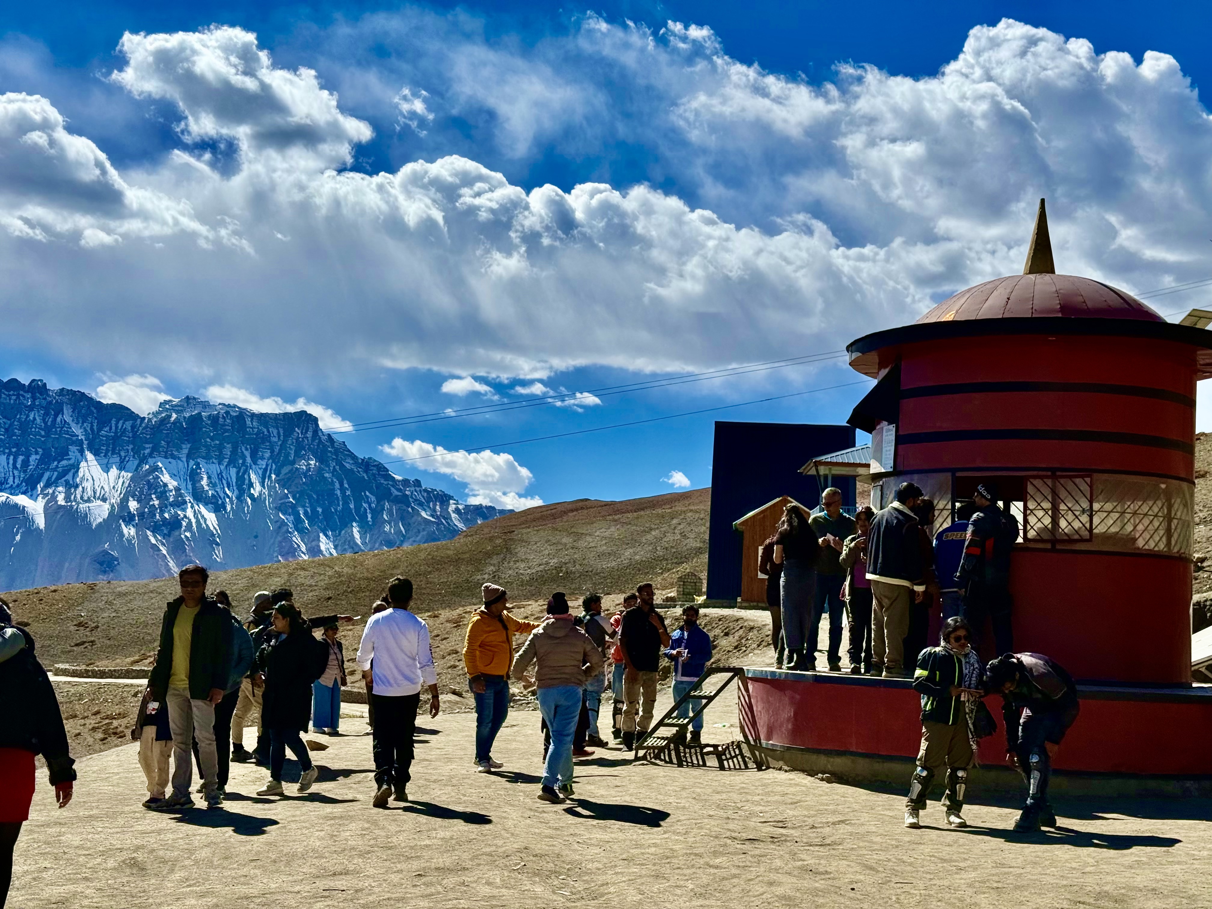
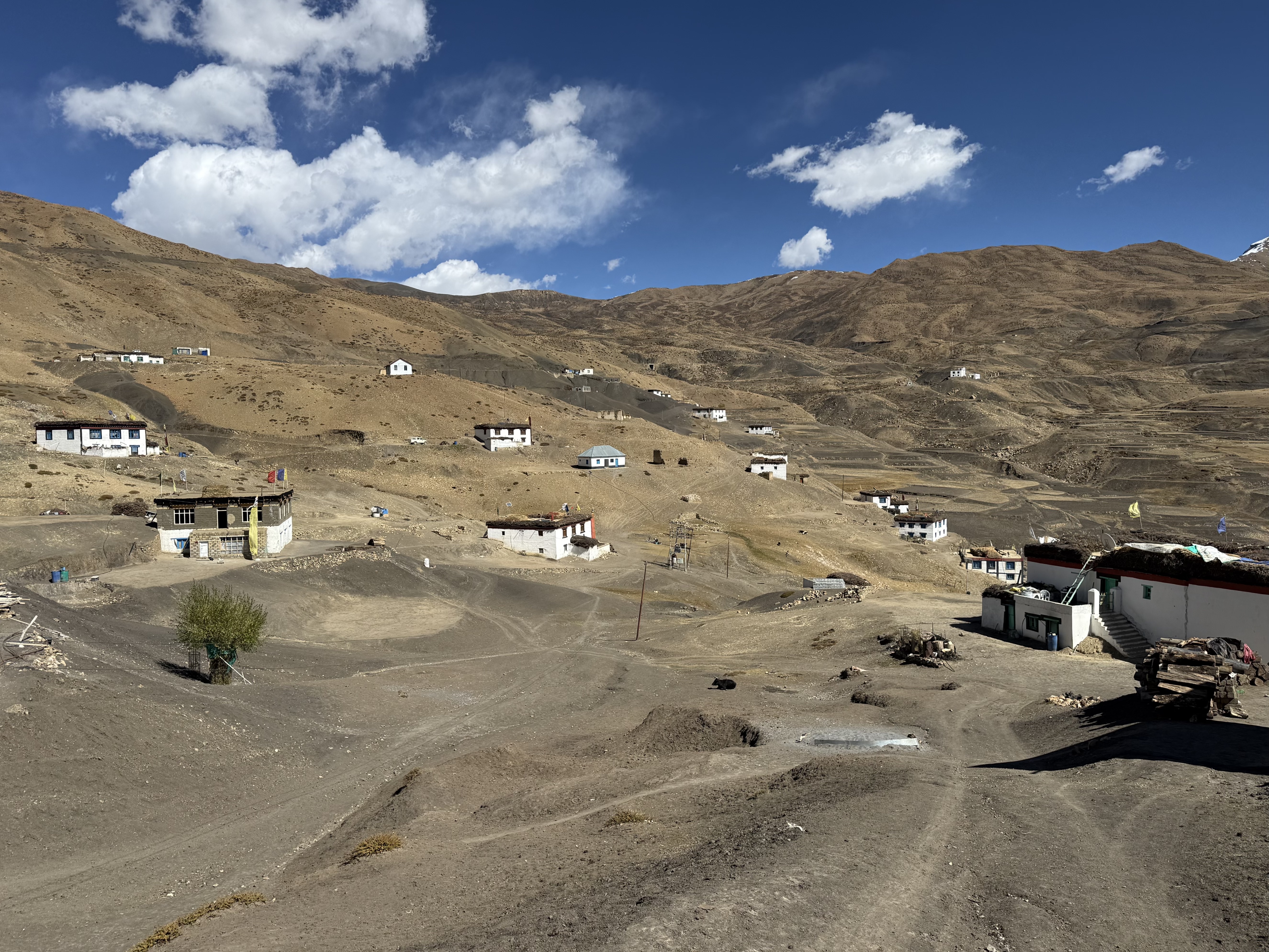
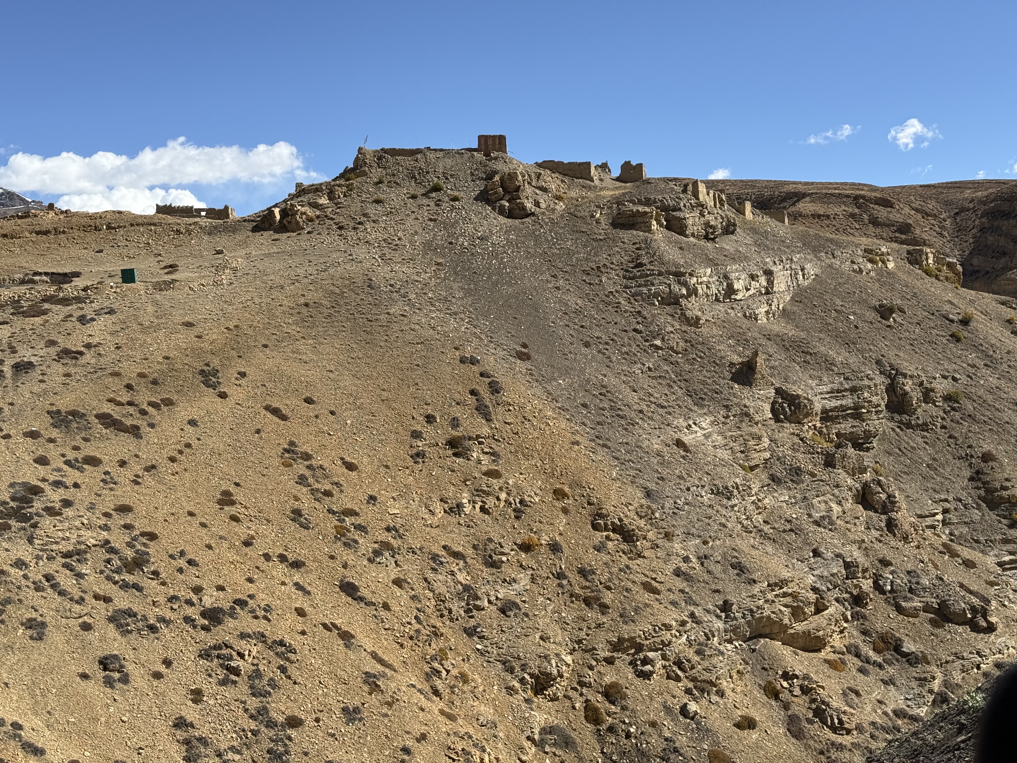
From Hikkim we headed back to Kaza, and the first part of this road is nothing short of scary. Rutted gravel, tight blind hairpin turns, one lane with two-way traffic, and people trying to pass at unbelievable speeds right next to a cliff reaching to the river below with no guardrails of any kind. When the Hikkim portion connects back to the Langza section, the asphalt luckily returns. I am always glad when we get to the hotel without incident!
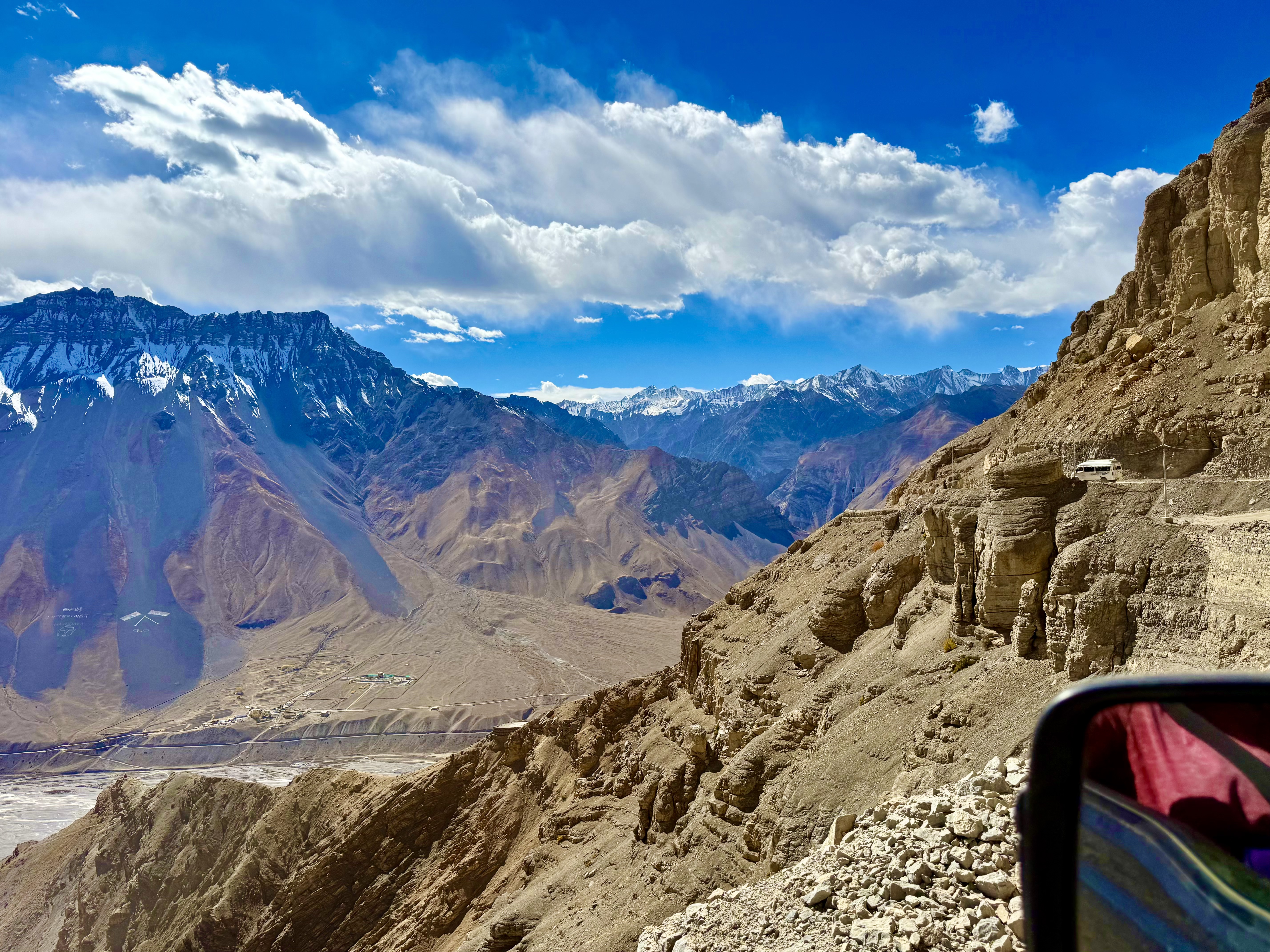
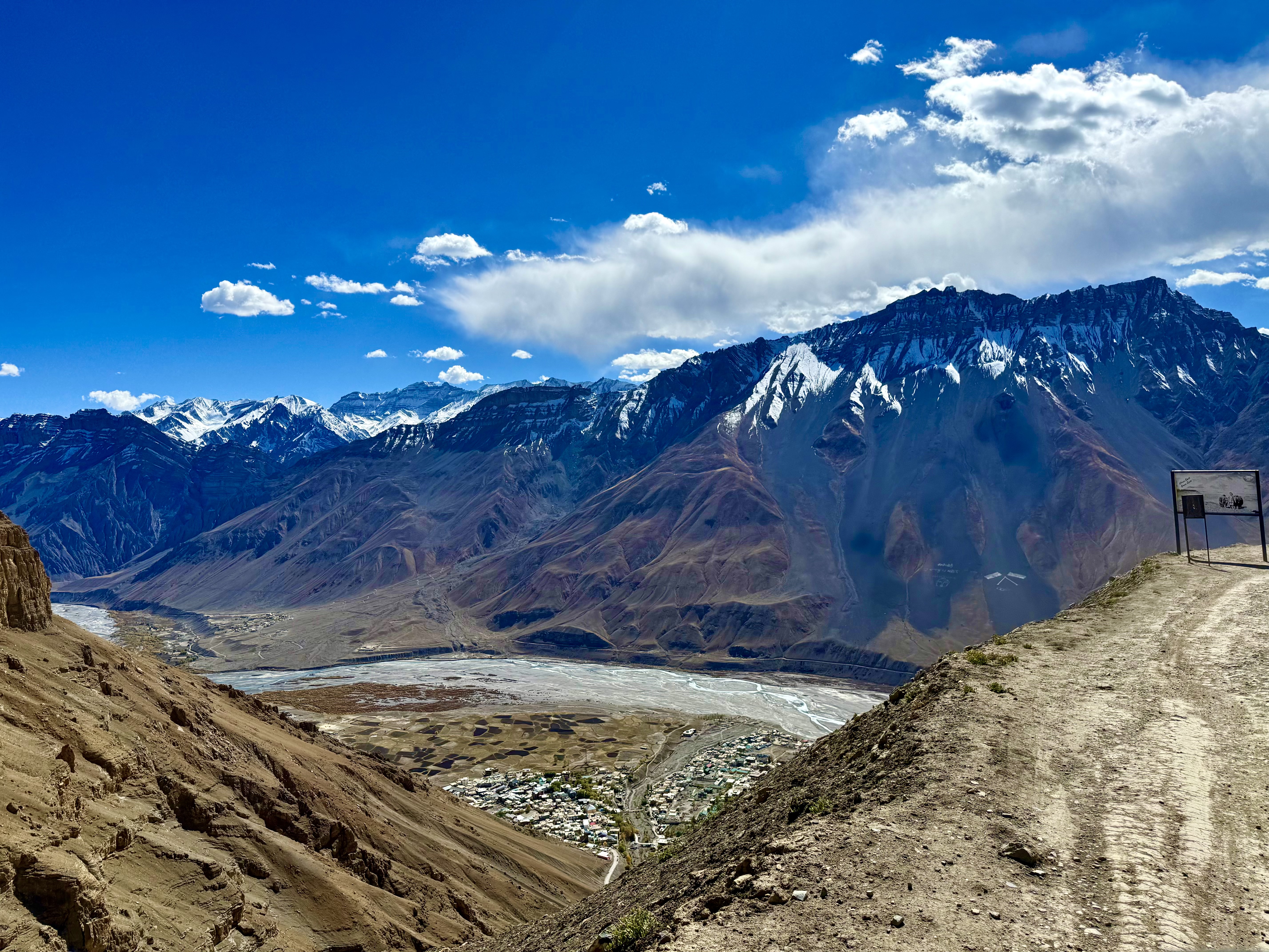
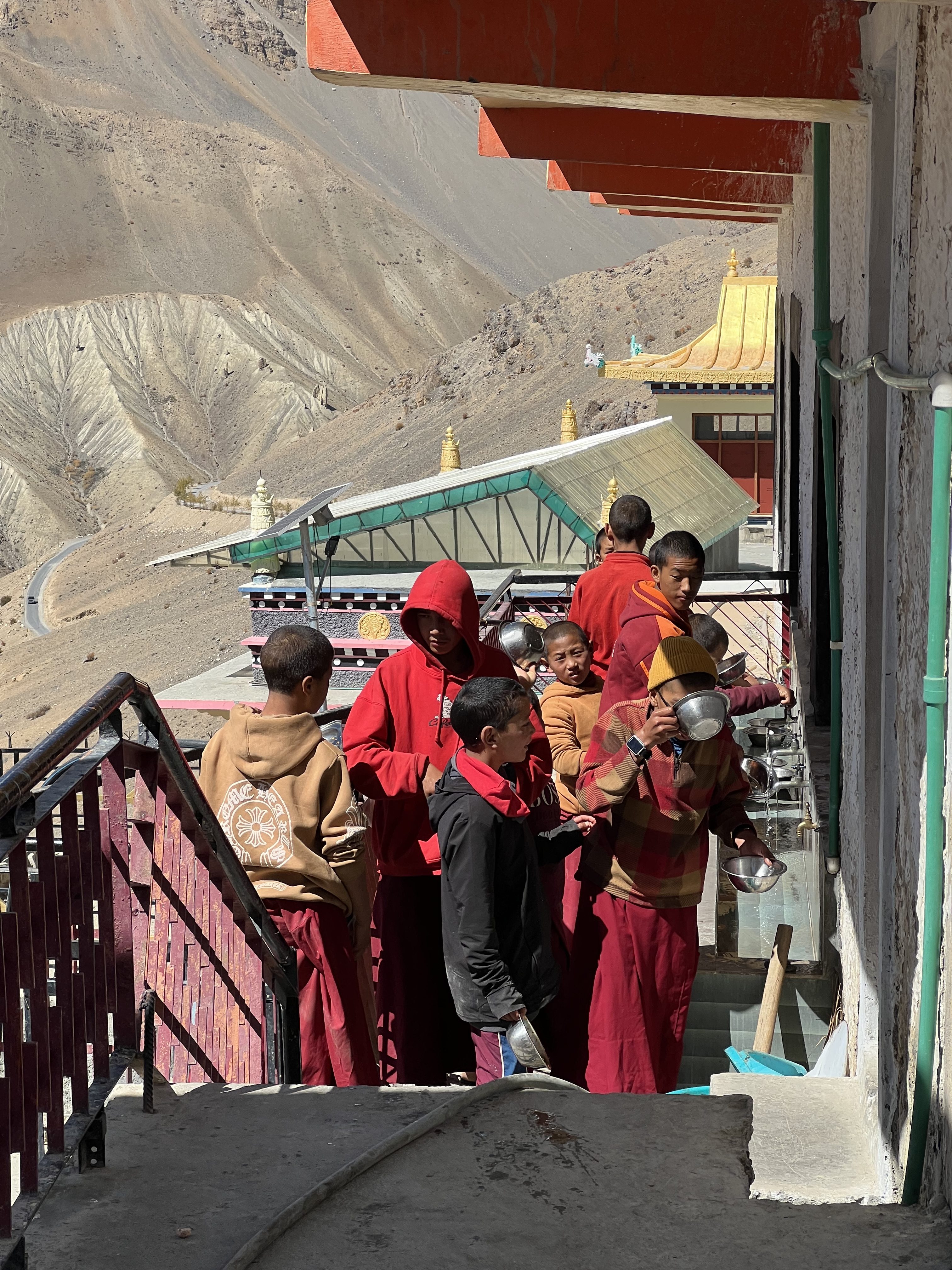
The next day, we headed to Key (sometimes spelled Ki) Monastery and fortunately, there was only one short stretch of a lousy road, the rest was asphalt with enough room to pass. Key, sitting at 4,166m, lies higher in altitude than Kaza but less than Komic. It is one of the oldest and largest in India and keeps expanding as it is also the religious education center for the region. While I was there, I saw the young boys in maroon robes getting their lunchtime meal.
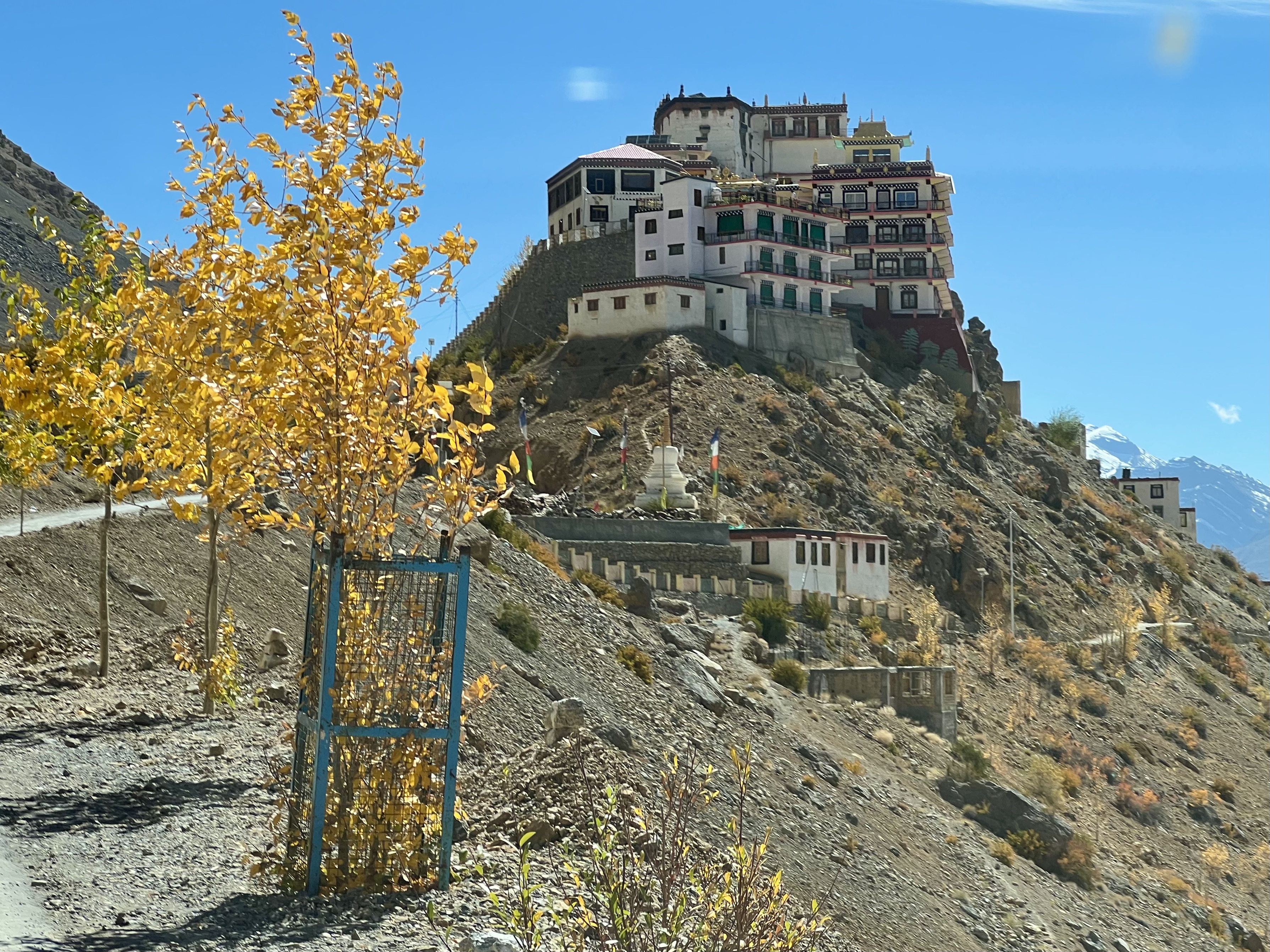
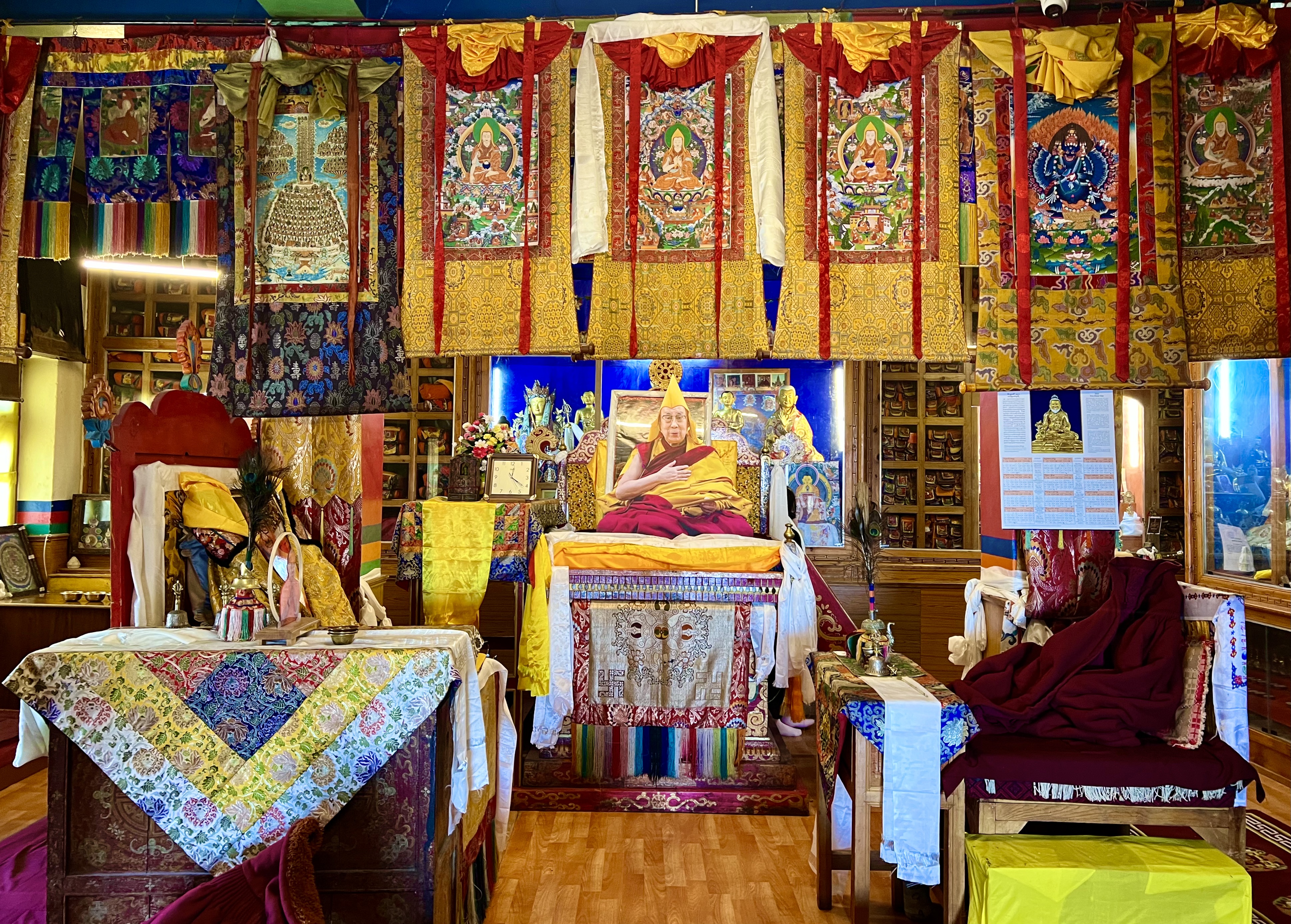
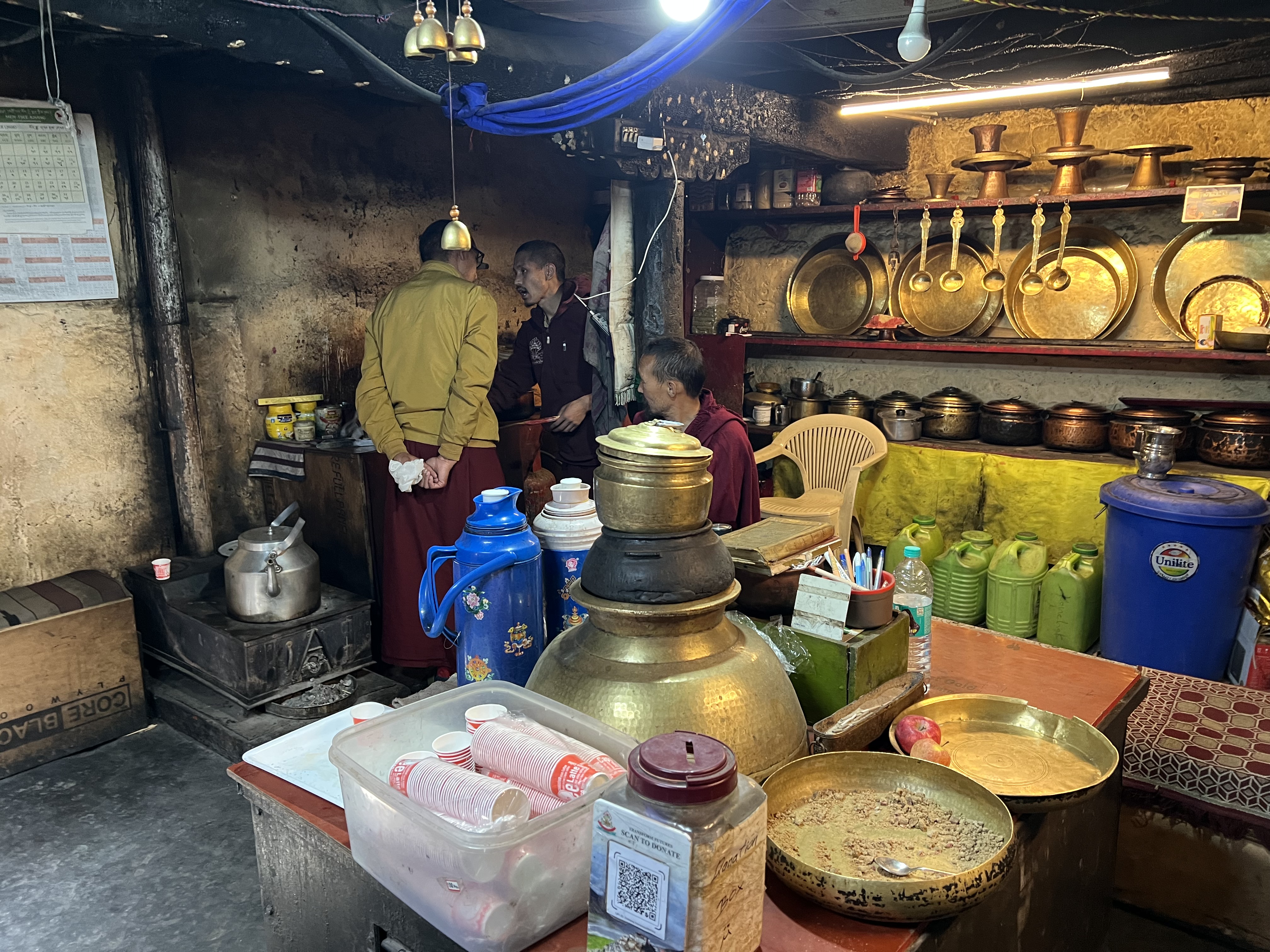
It was founded by Dromton, a student of Atisha in the 11th C. Legend has it that the monastery was built on a hill that resembled the mythical bird Garunda; nothing of the hill can now be seen as it has been covered with buildings for the Gompa. As with the monastery at Komic, it has been attacked and partially destroyed a number of times over the centuries, including attacks by the Mongols, Ladakhis and Sikhs as well as earthquakes and fires. The local community has always helped with rebuilding. Much of the Gompa today is used for the school and the monks. There are approximately 200 young monks in residence at Key; their schooling here goes until the 10th grade. Only a few of the rooms are open to tourists. In one area visitors can go into the prayer room, see a few of the meditation chambers, and spend time in a kitchen where the monks were serving a delicious herbal tea to the guests. Up a set of stairs to the side of that section, is the main more modern hall, which was dedicated by the Dalai Lama in 2000. His very realistic life-sized cut-out image is in the center placed on the throne. Behind him in the cases are various Tibetan Buddhist masters, including Je Tsongkhapa, the founder of the Gelugpa sect. The main hall is filled with both old and new thangkas, some of the newer sacred paintings are as much works of art as the ones that are three hundred years old.
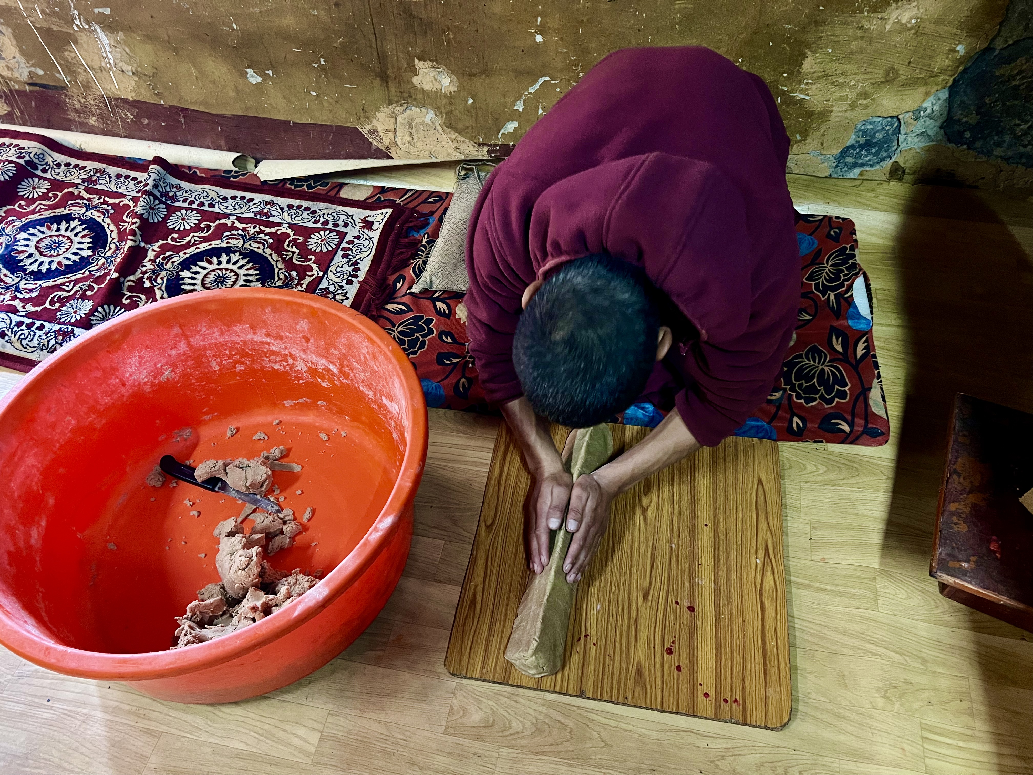
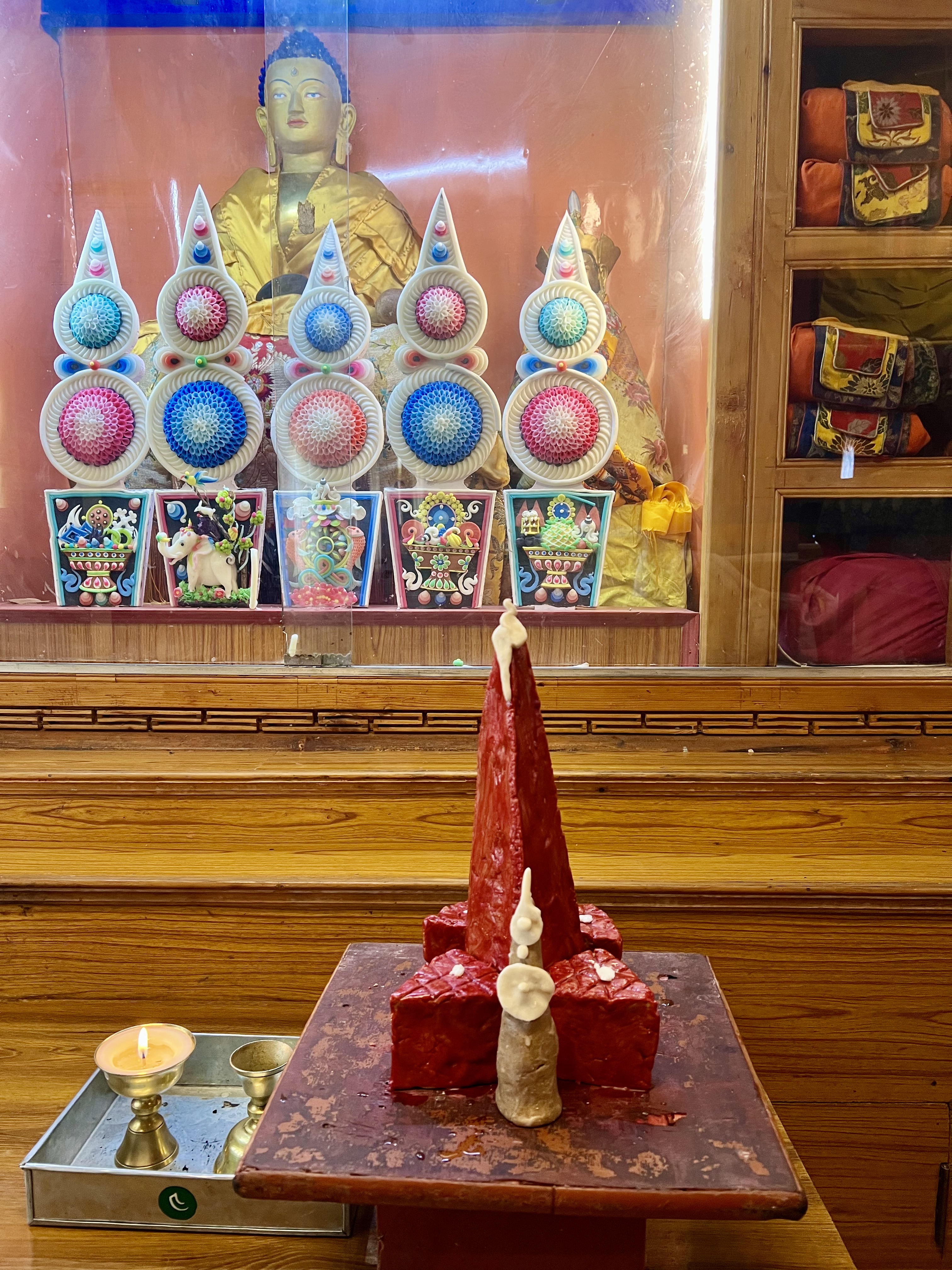
While I was in a room behind the kitchen, I watched a monk kneed dough and cut it into triangles. When I was in the main hall, a different monk brought in the completed work, the dough now covered with red wax. The offering was placed on a side table by the main alter along with some colorful butter figures. The last area that is open to tourists has a room-sized prayer wheel that is clearly old. The paintings on the sides of the wheel have been chipped away, but the prayers inside remain intact. Key is a main point on the Spiti tourist map, and it was filled with people. I can imagine that peace would return after the masses left. The location and the ancient teachings through the scrolls and thangkas make Key a perfect spot for meditation and for learning.
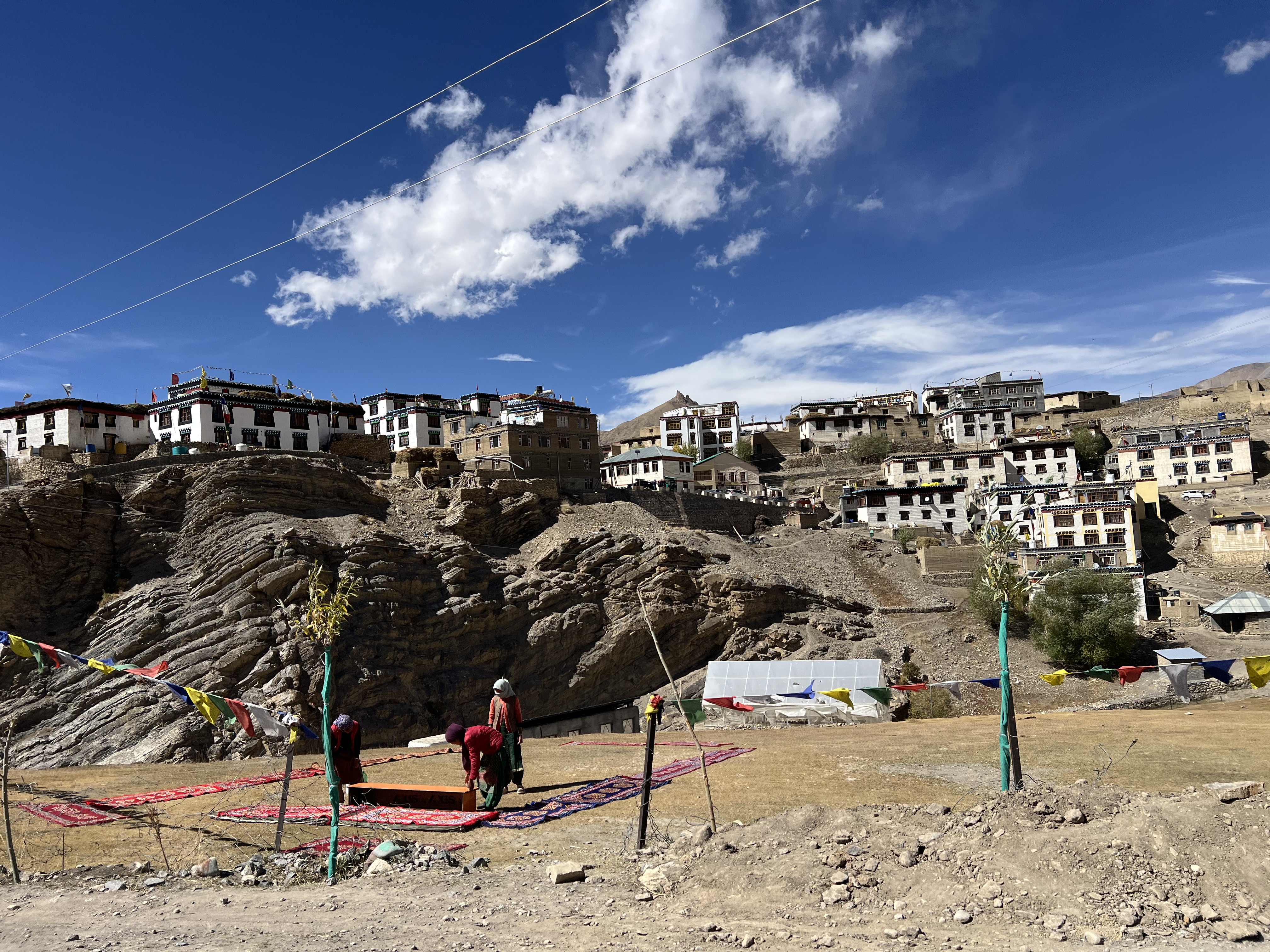
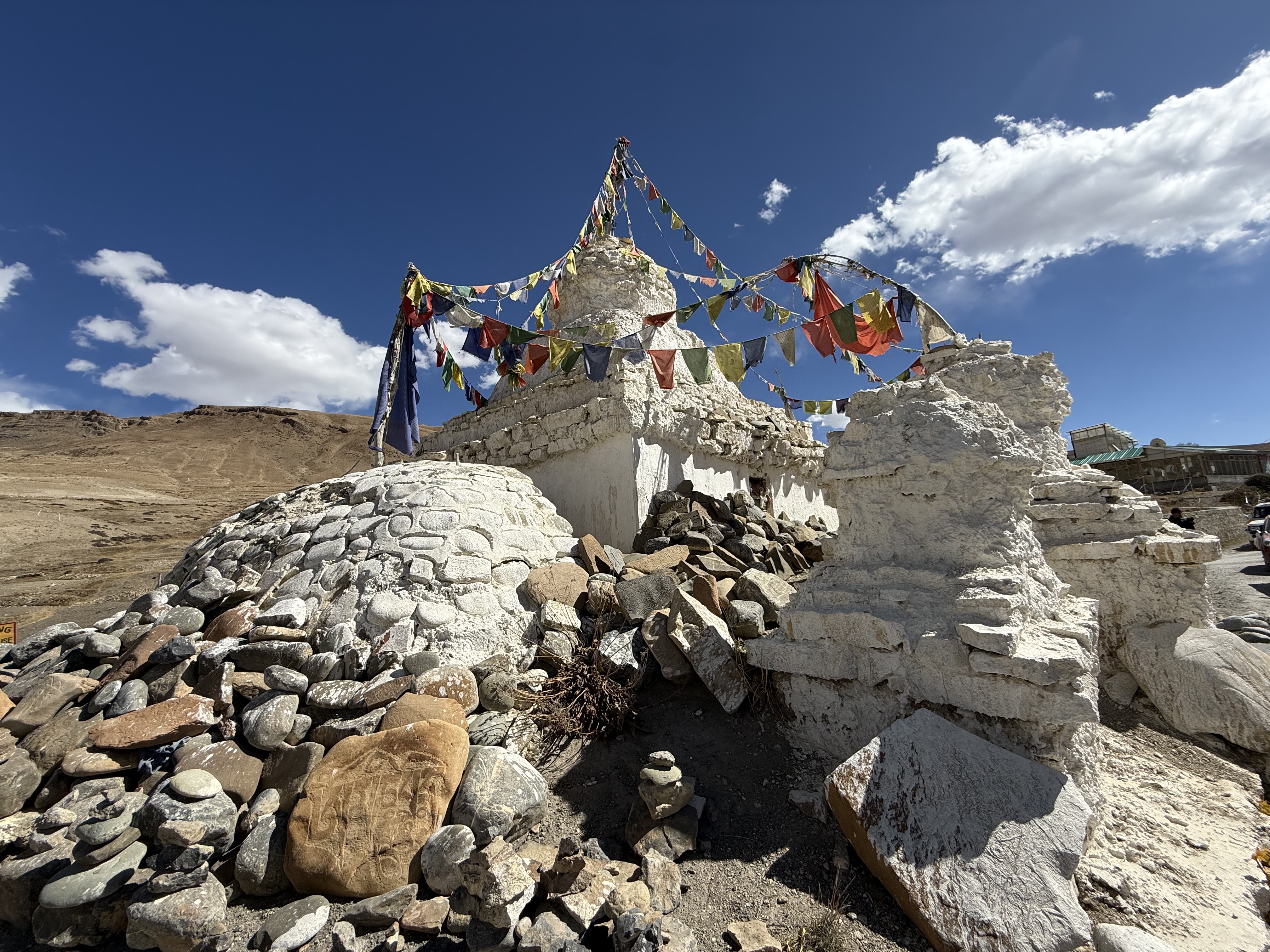
From Key we headed on to the village of Kibber, which sits at 4,270m, where there is a new temple, but when we arrived it was closed. The view from above town where the temple is was beautiful. Kibber Wildlife Sanctuary is one of the places where National Geographic staff study the snow leopard in the winter. Winters here would be very harsh. The mud and stone white-washed houses in the village are fairly close to one another along the terraced hillside. We attempted to drive through the main street, yet that was a mistake. This isn’t a village for cars, although the sides of the rutted gravel path were filled with them. At the entrance, and subsequently exit, from Kibber is an ancient chorten that now functions as a traffic roundabout.
The next morning, we left early for Chicham, which is just over the valley from Kibber, but has very different in layout. On the way, one crosses the highest suspension bridge in India, which is now a tourist destination site.
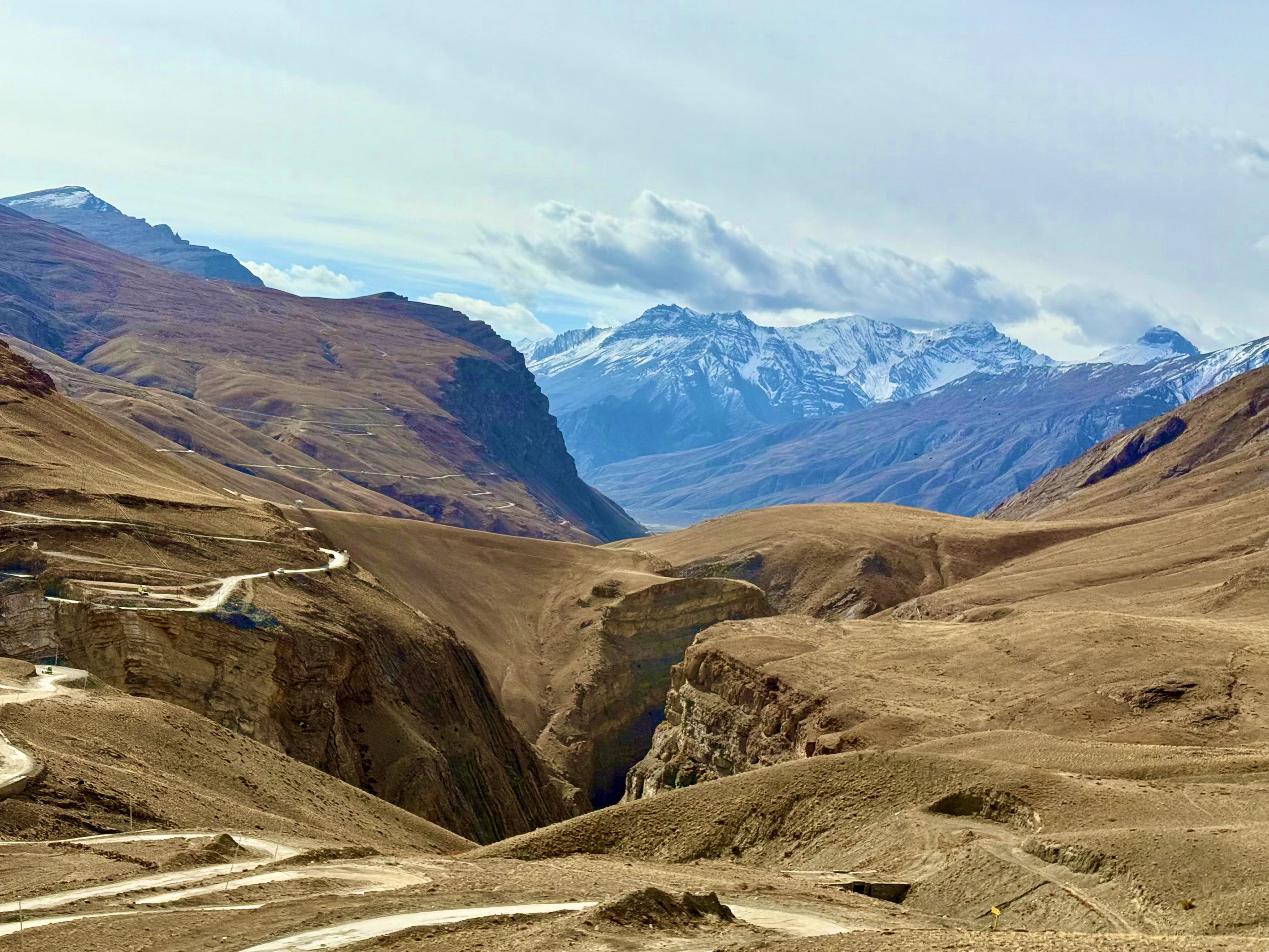
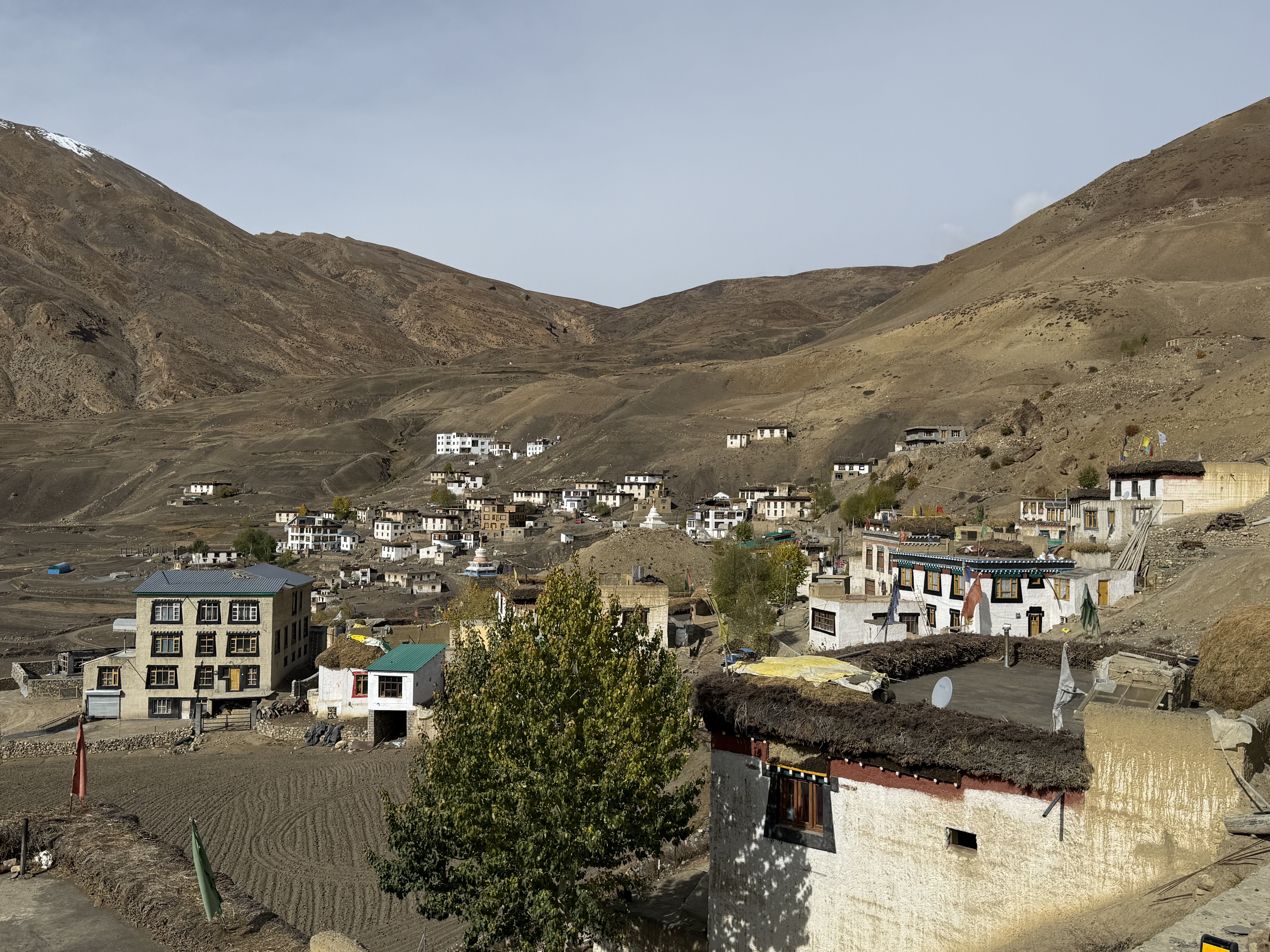
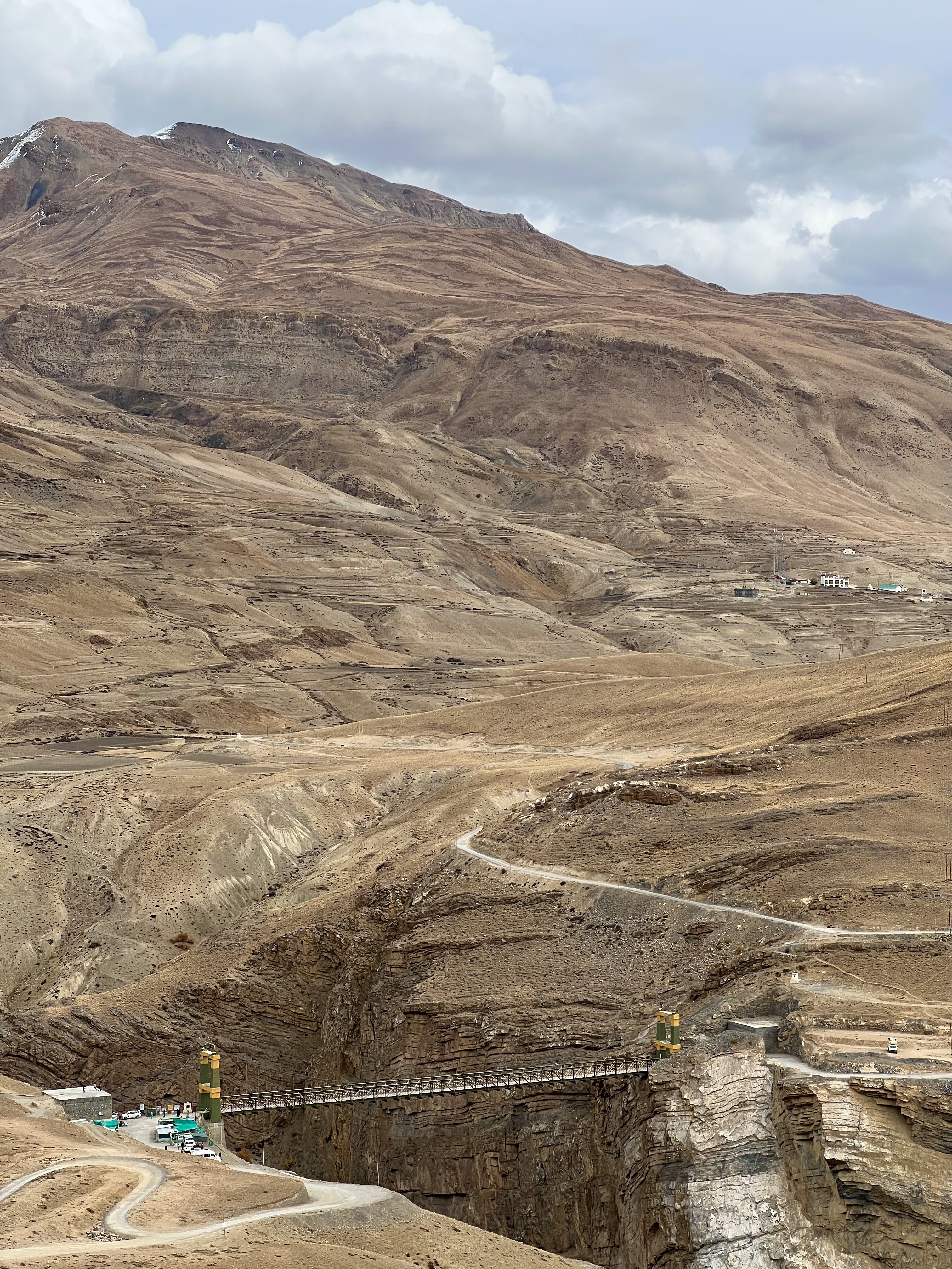
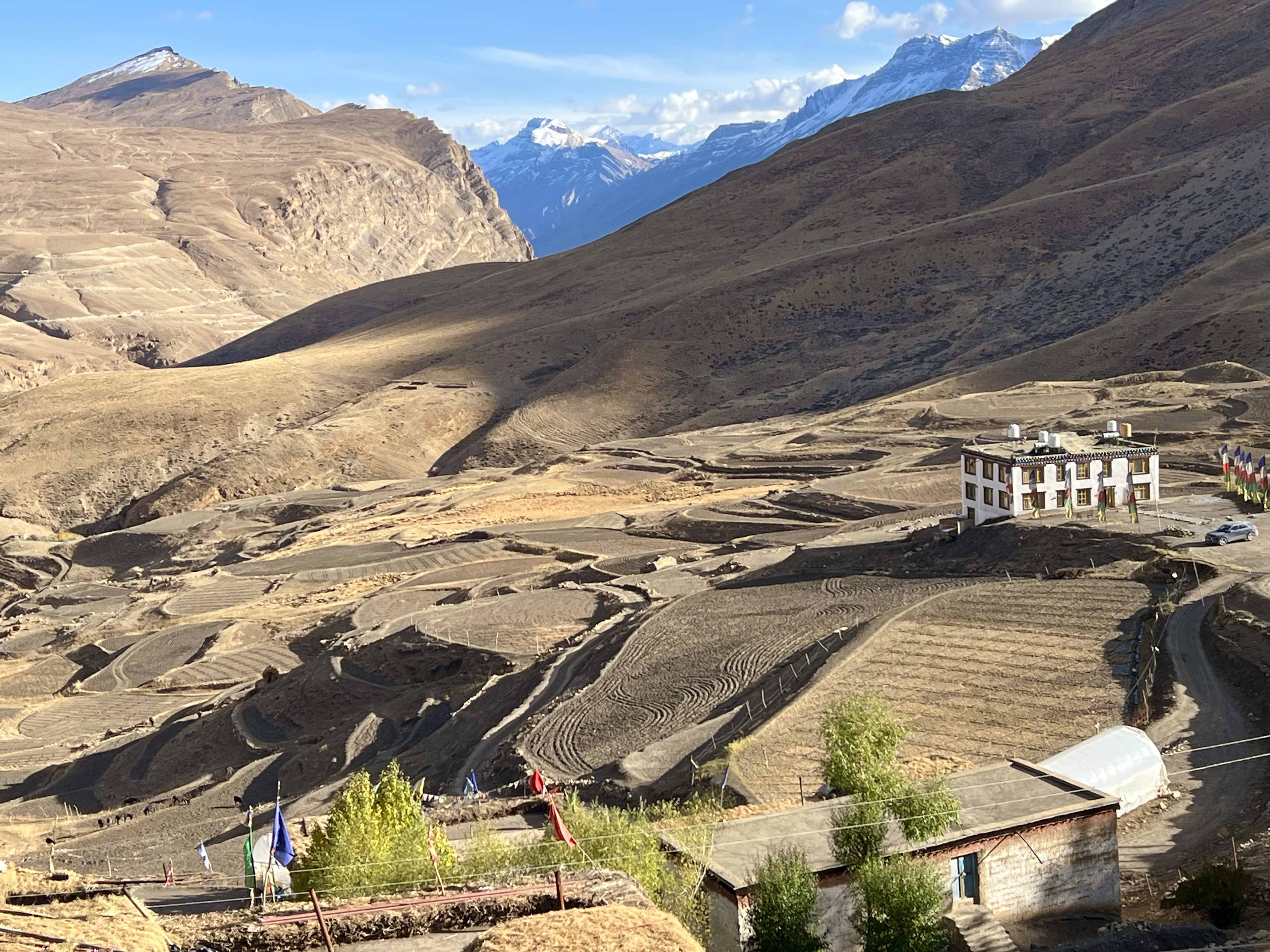
Chicham village has a number of new chorten in town and up on the mountains around it. Agricultural fields are lower down than the residential areas. Many of the white-washed houses with either yellow or red trim had barley drying on the flat roofs. Barley is the main food staple of the people here. Donkeys were grazing in some of the agricultural plots when I returned from my hike. Agriculture and tourism are the two main sources of income. In the winter, this is a hot spot of snow leopard spotting, making the tourist season almost year-round. It seems that every house in the village offers a homestay. The homestay couple who were hosting me are teachers in the local primary school. I was able to borrow a pair of trekking poles from them to go on a hike with a young local, Dawang. When I arrived, he asked whether I wanted to walk up the mountain behind the village or just climb a little bit and walk where it is more level. I chose the easier path, and even that short climb had me winded. It is over 4,000m and it took a while for my heart to adjust. Once we were on the relatively flat portion, I was fine and could enjoy the stark scenery. The hike took us behind the village for a few hours along animal paths crossing below some spiked brown peaks. The ground is a mud brown, but there are short yellow and rust colored shrubs, and rocks of multiple hues. My first impression of just sandy brown mountains was mistaken, there are a number of colors and hues here if one looks closely. There were a few patches where small rocks covered the ground making it tricky to cross without turning an ankle. I was glad I had the trekking poles! This area is part of the Kibber Wildlife Sanctuary, but we didn’t see any animals other than a few crows. Dawang told me that is was because the dogs in the area have grown in such numbers that packs of them attack both domestic and wild animals, including the ibex and even the snow leopards. He lost his donkey to such a pack three days before our hike. Before heading back to the village, we stopped for some tea that Dawang had brought. It was a delicious herbal tea that his mother makes. Not only was it delicious, but it was warm and a cold wind was blowing. The tea break provided time to sit and just be. There was a stillness in the mountains without any people anywhere around. It was easy to imagine lamas coming here to meditate. Chicham is near the ancient Ladakh-Tibet-Spiti trade route, and it was through this route that some of the Buddhist teachers brought the religion to the region. The landscape is reminiscent of Tibet, but somehow with more colorful rocks.
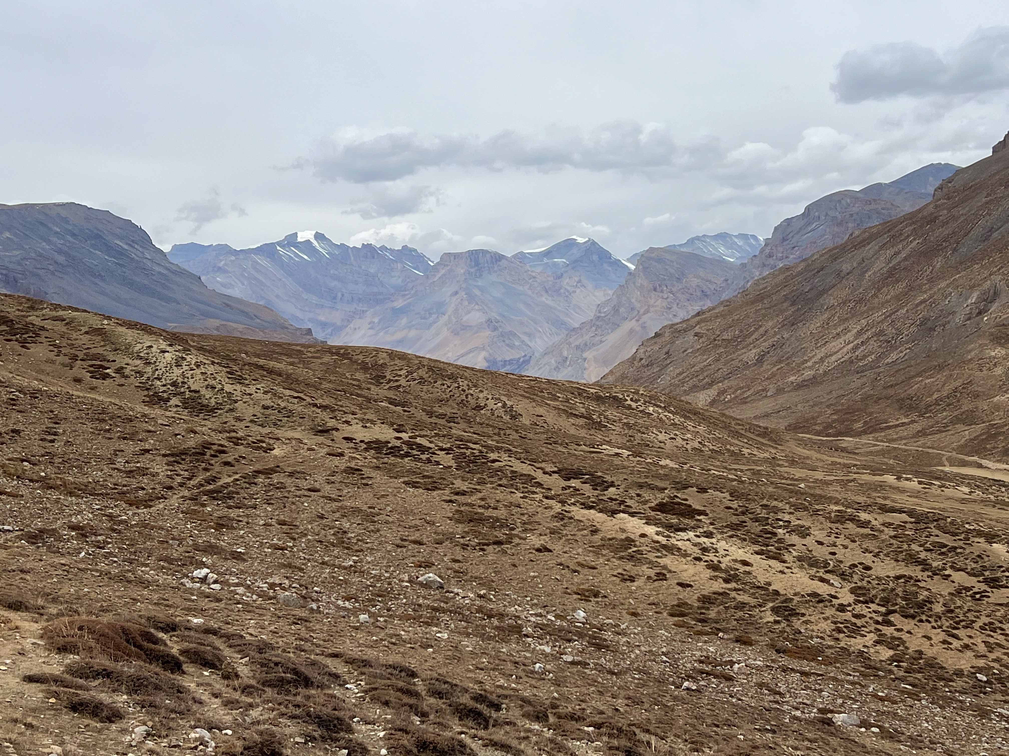
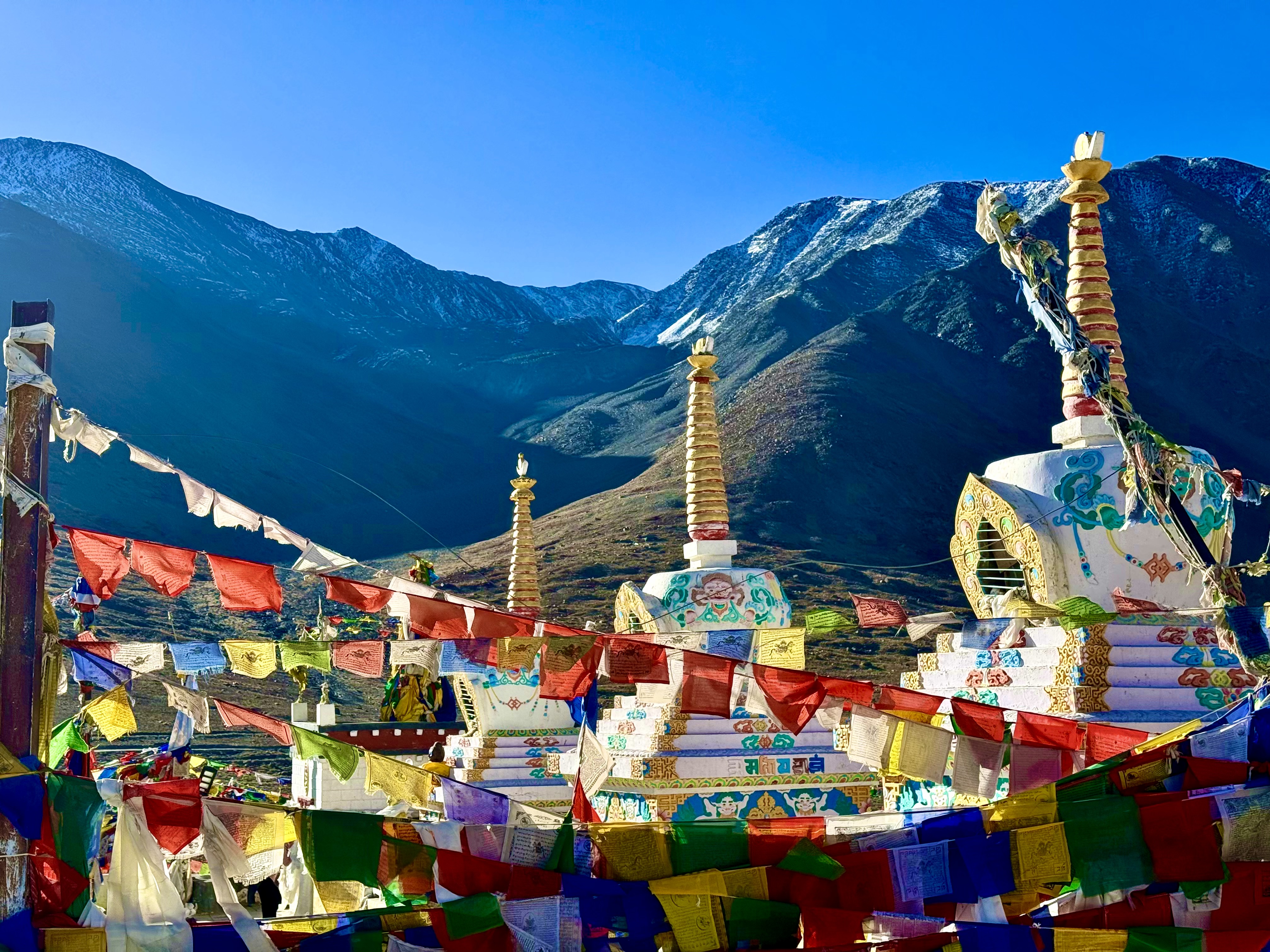
The next morning, we headed toward Manali. On the way we had to cross the Kunzum Pass connecting Spiti with the Lahaul valley. This Pass is closed from around the middle of October until April and for good reason. The jeep track up the mountain and then down is deadly. Many people die on the route each year. Not only are the landslides and cliffs a problem, but the road/track is rutted with holes and various sized rocks that one can hardly keep the Jimmy/Jeep upright. When that happens by the cliffside or around a blind hairpin turn, the outcome can be deadly. At the top of the Pass at 4,551m Kunzum Devi presides. There is a shrine to her honor with pray flags flowing in the wind all around the site. Tradition has it that drivers should make a kora (a clockwise circle) around the shrine to keep them safe. I walked around as well, just to be sure. Kunzum Devi is a frightful form of the Goddess Durga, in other words, one does not mess with her!
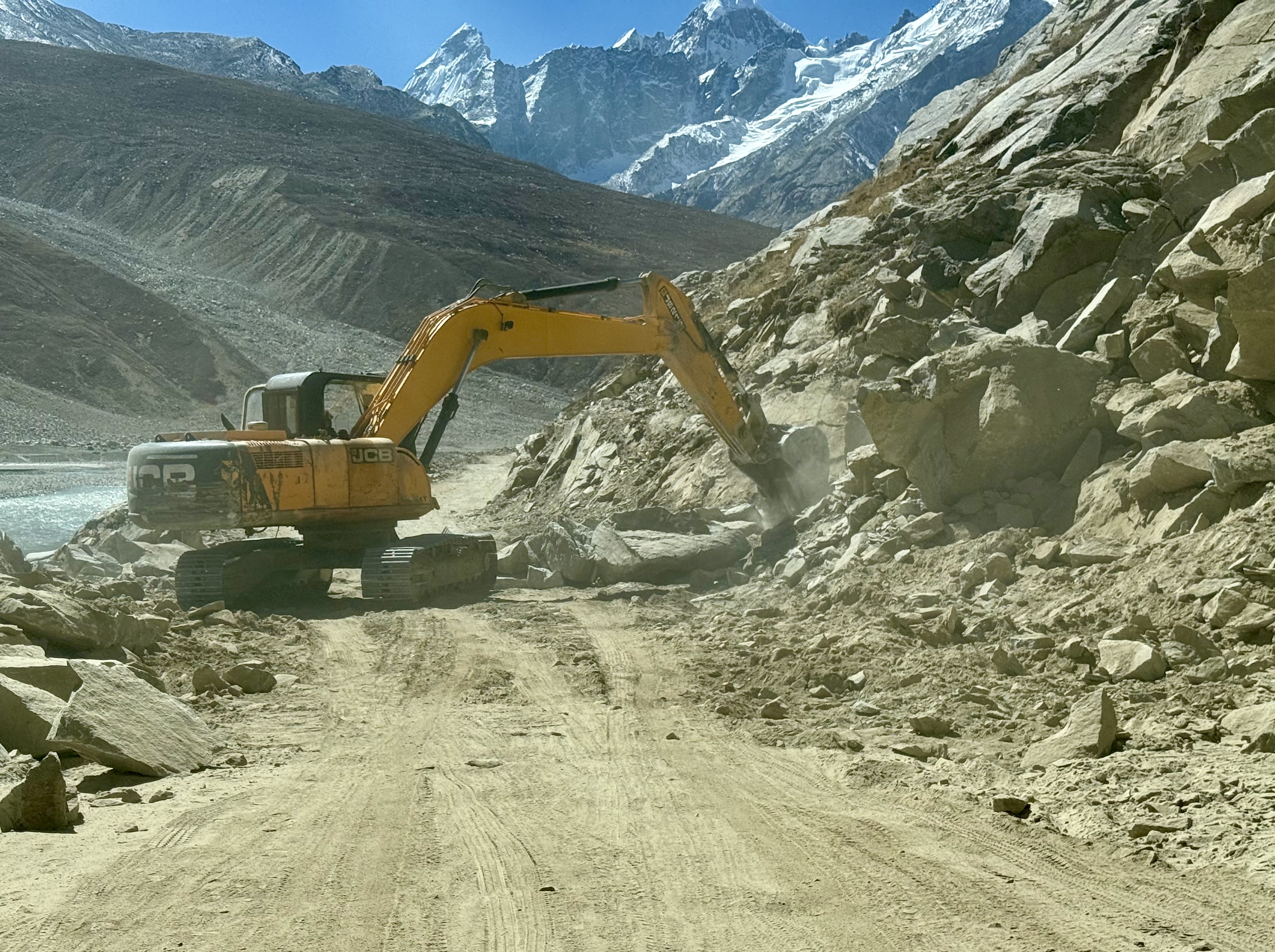
The way down the mountain to the entrance to the Chandratal Wildlife Sanctuary was awful. In addition to all the other hair-raising obstacles, now black ice was on some of the areas where water had frozen. When we got to the turn off to Chandratal there were a few men standing next to their motorcycles looking at the upturned rocks that were at the entrance to the valley. I thought that meant that the road was closed, but no, Tanzin told the fellows to move aside and off we flew. His faith in this car and his driving ability was impenetrable. The road into Chandratal was an extension of the mess we had just been on, except now, the road was even narrower. The cliffs were somewhat lower though, only a few hundred meters rather than close to a thousand. There are campsites in the valley, but they were already closed for the winter. At the end of the campsites a group of guards checks license plates, and for foreigners, their passports and collects a fee of RS 600. There is another uphill stretch after the checkpoint before one arrives at the parking lot. From there it is about a 400m walk to the lake. According to legend, Chandra, the daughter of the Goddess of the Moon fell in love with Bhaga, the son of the Sun. They would meet at Baralacha Pass, but their parents didn’t approve of their relationship. They chose to transform themselves in lakes and rivers, the crescent shaped Chandra Lake feeds the Chandra River. Bhaga formed the Suraj Tal which feeds the Bhaga River. They meet at Tandi, where the rivers become the Chandrabhaga River. Their love is kept alive with their perennial merging. Another legend says that there are fairies who live in the waters of the high lake (4,300m above sea level). A man fell in love with one of the fairies and she took him to live with her. After a few months, he said he really needed to go home to tell his family that he was alright. She let him go on the condition that he never tell anyone about her or else he would never see her again. When he got home, he did tell his wife and friends about his adventure. When he went back to the lake, the fairy was no longer there. Some say that the next Spring, the fairy appeared with a baby at the man’s house, and his wife was confronted with having to raise his ill-gotten offspring. They also say that the fairies do not like loud noises or yelling. If one does, then bad things will happen to them over the next year. When we were at the lake, there was a group of men who clearly had not been warned and were very loud. This is considered a sacred place, but not everyone treated it as such.
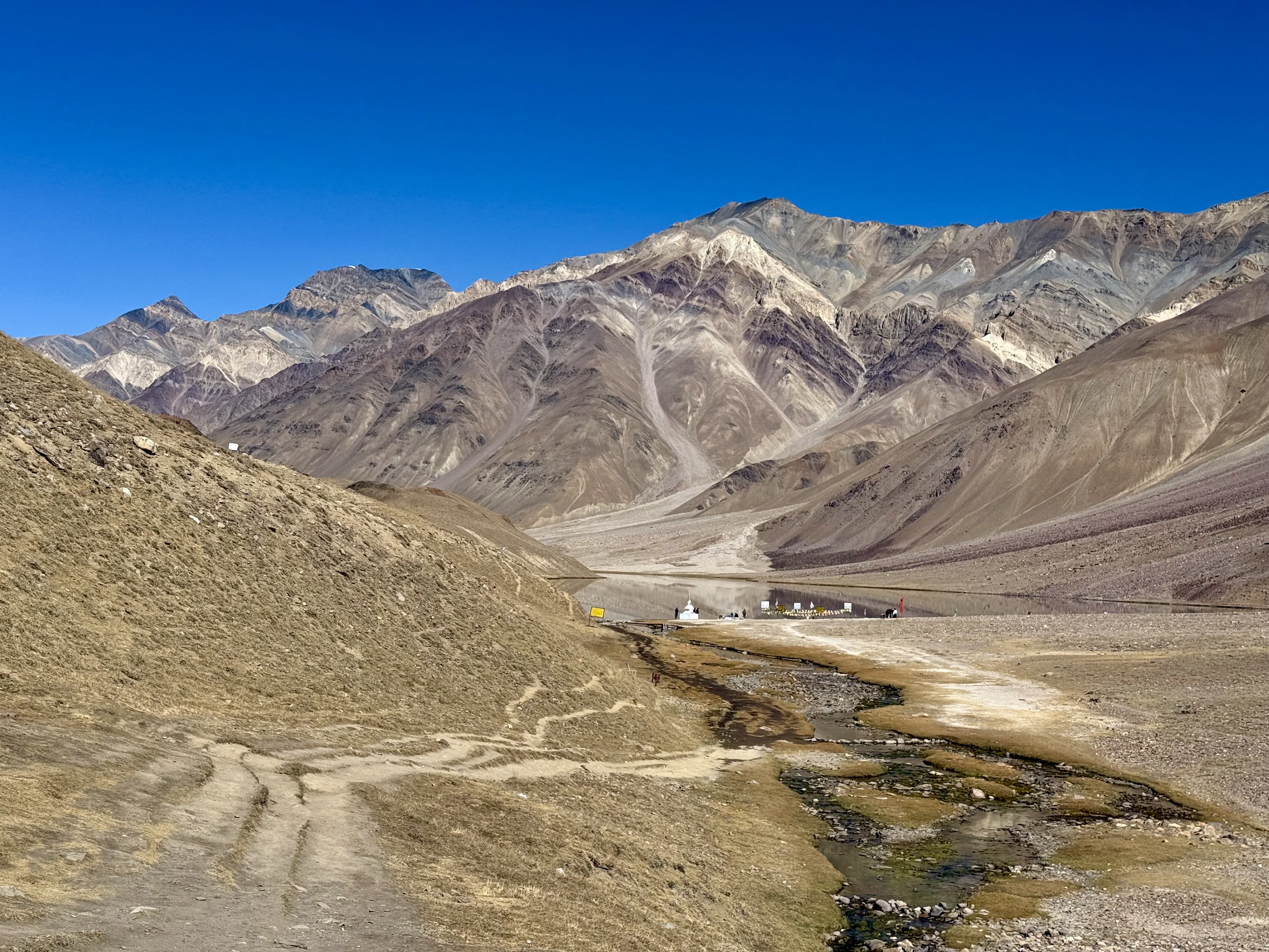
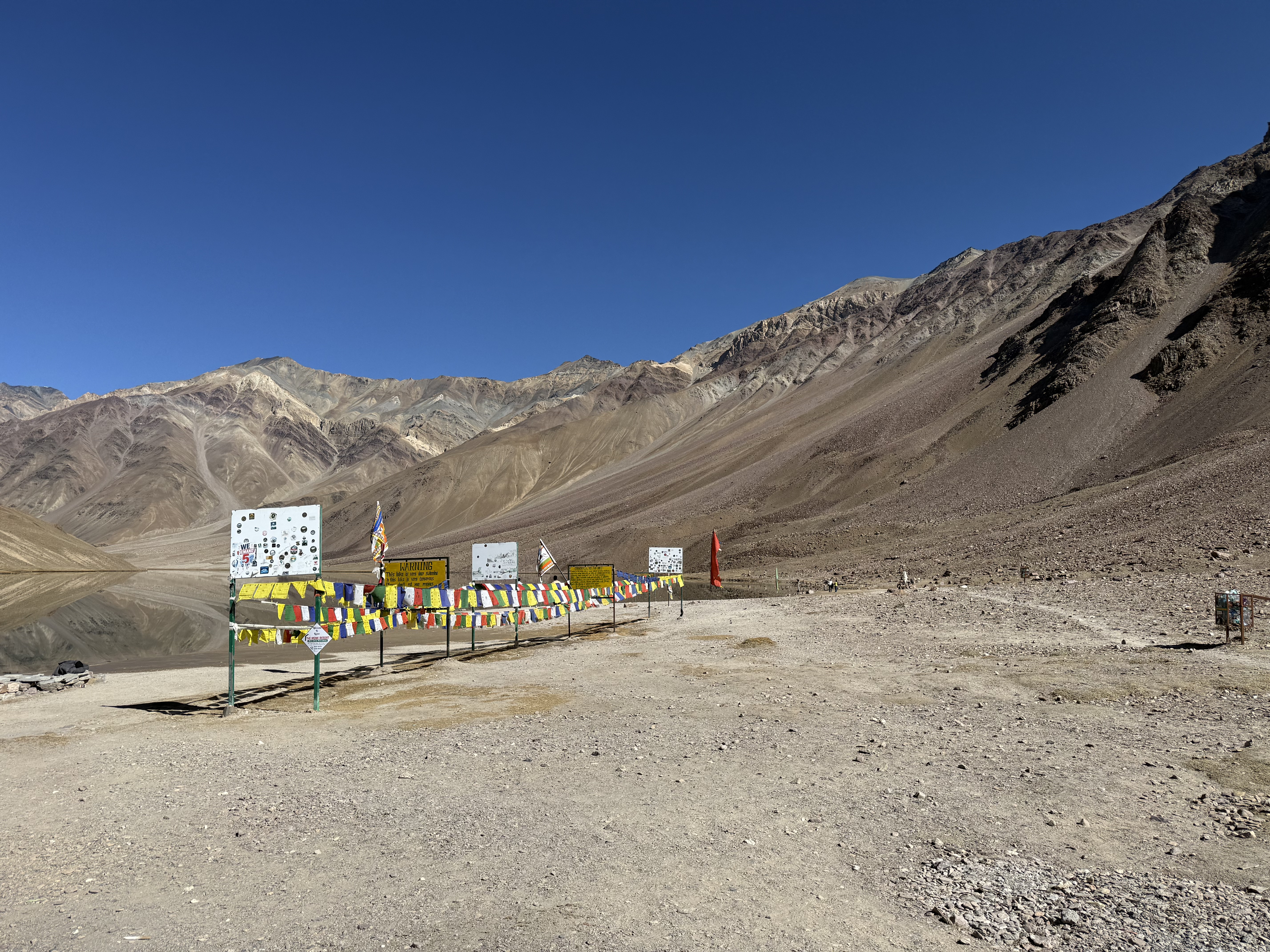
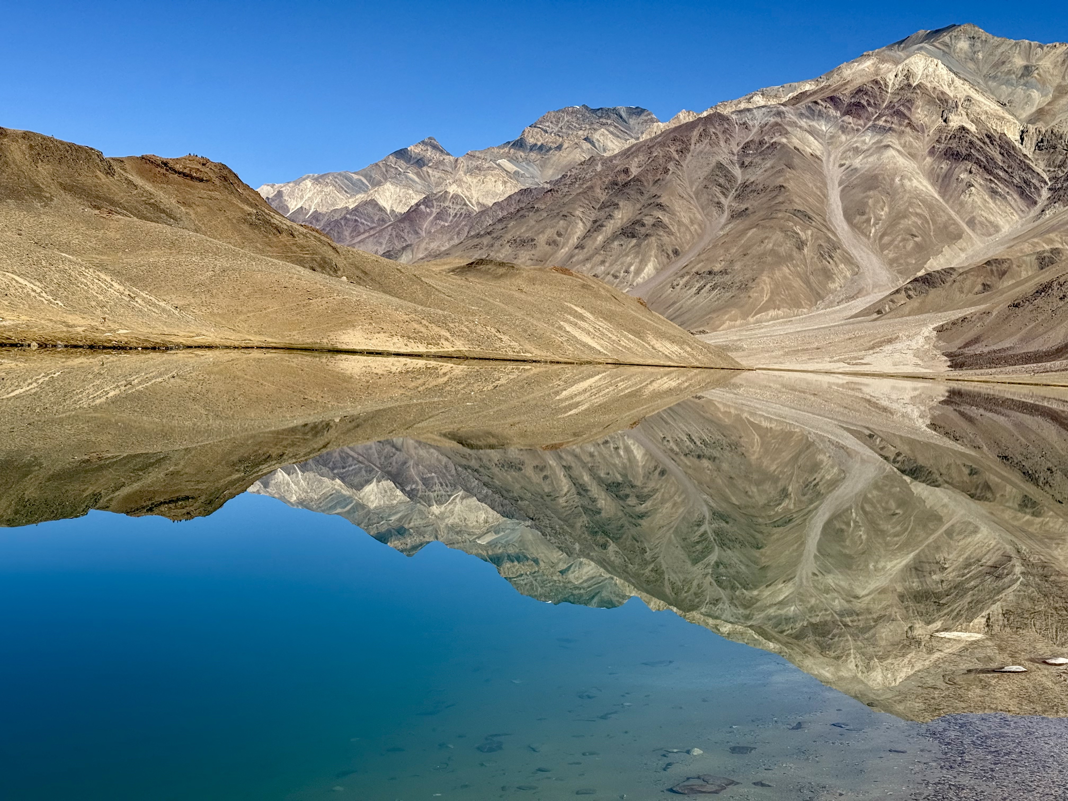
After spending some time admiring the colors of the mountains reflecting off the still waters of the lake, we headed back to the car for more bumping, jumping and death-defying turns. When we were about 7km in front of the Atal Tunnel, we found a newly asphalted two-lane road. I can’t begin to explain how incredibly thankful I was that we had survived the drive! I realize that some drivers with transportation companies do it on a fairly regular basis, but they must have nerves of steel. People die on this road every year.
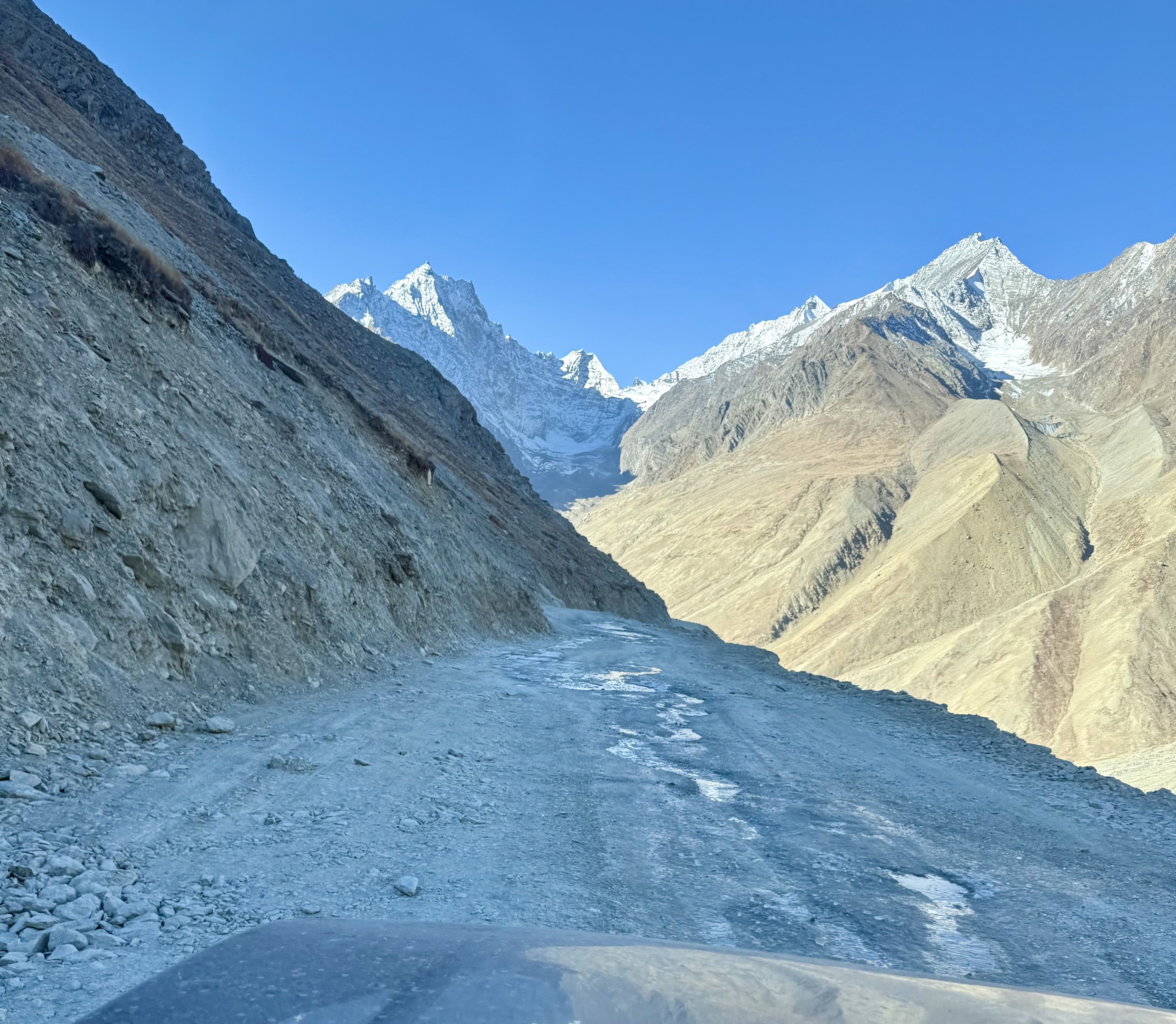
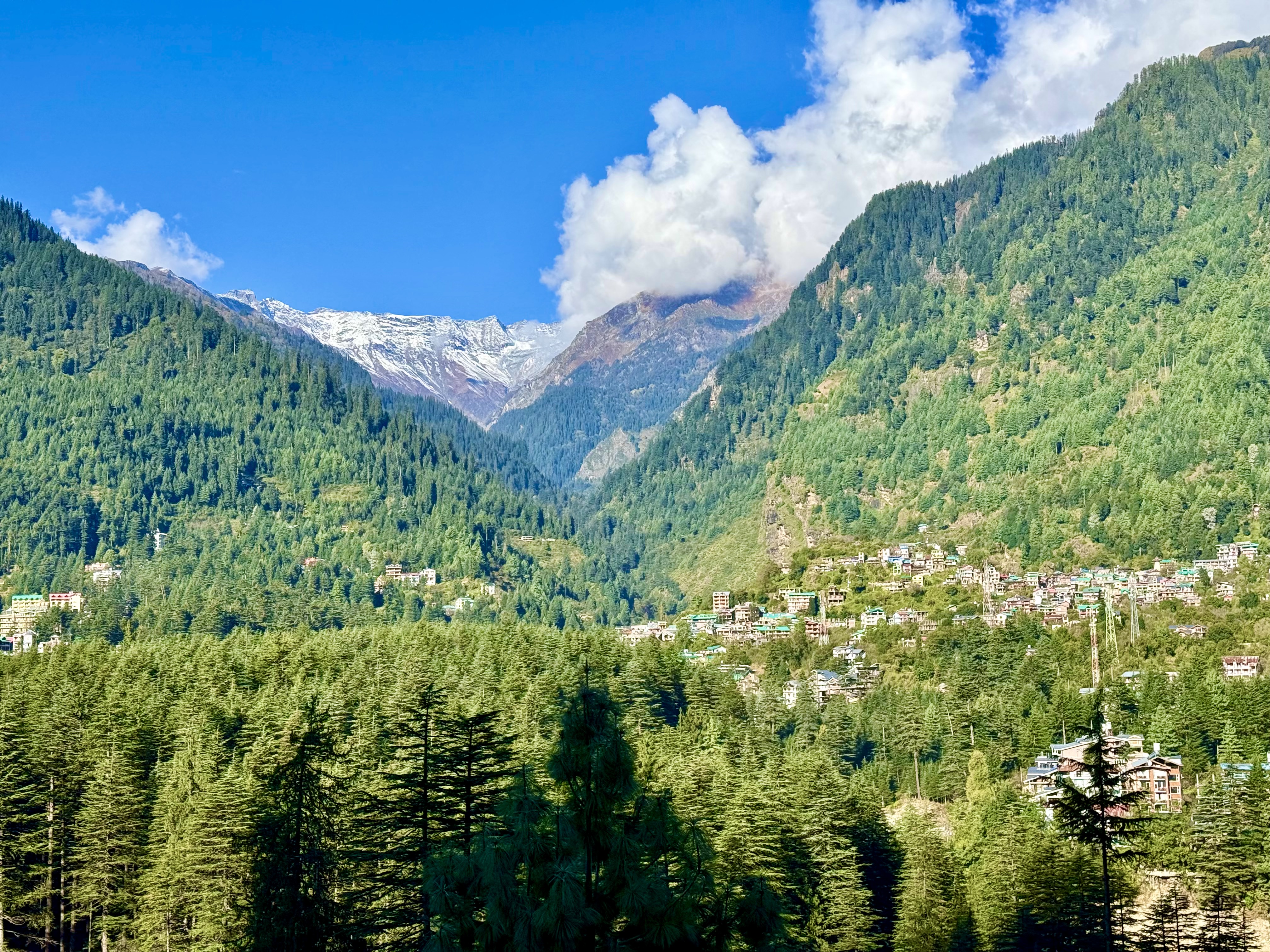
From the tunnel to Manali, one is on regular roads. The landscape on Spiti side of the tunnel is high desert with little vegetation; on the other side towering trees and green sloped mountains prevail. The contrast is incredible. Seemingly barren mountains to lush forested slopes from one side of the 9km tunnel to the other. Manali, at 2,050m, sits much lower than any place in Spiti. The town’s namesake is Manu, the first man. The Goddess Hidimba is the town’s protectress; her herstory is narrated in The Mahabharata, the great Hindu sacred work. I didn’t get a chance to visit her temple this year but had done so in 2009.
Himachal Pradesh is a province filled with contrasting landscapes with local deities protecting villages and towns. Along the new highway from Manali to Chandigarh, which now takes only 5-6 hours rather than the 10-12 it used to, I saw signs on buildings and vehicles referencing local and pan-Hindu goddesses, including Hadimba, Hanogogi, Kyogi, Naina, Saraswati, Durga, Kali, Parvati, and Gayatri. Maa Bharati, Mother India, has a number of goddess children, not just the ones associated with Hinduism, but also local and pan-Tibetan Buddhist deities such as Dorje Chenmo, protectress of Rinchen Zangmo gompas, and Tara, whose left leg is extended to jump in to help those who need her. This is a land of gods and goddesses, who protect or punish. It is best to respect them, especially when driving on Kinnaur and Spiti roads!