Langtang Trek: After the Flood
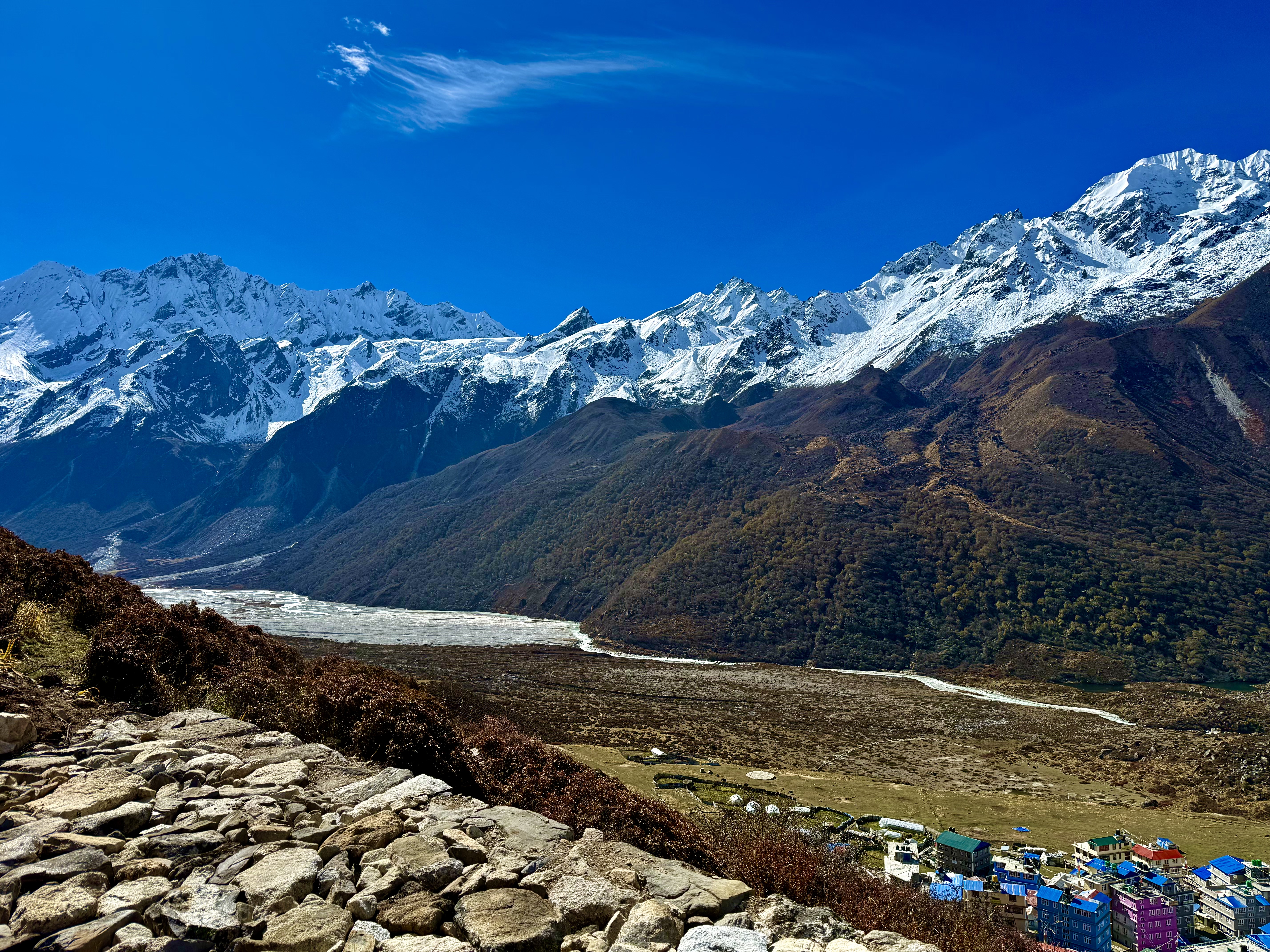
After I had decided to return to Nepal, the questions were which trek was I going to do, how much time was the trek going to take up, and naturally, the cost. I have used a variety of tour/trekking agencies from Kathmandu as I prefer to spread the dollars around rather than continuing with just one company. The exception to this rule is with the hotel as I’ve now fixated on the Kumari Boutique Hotel after having a few unfortunate incidents elsewhere in the city. After a lengthy internet search, I decided to go with Core Treks for Langtang Valley. It was a toss-up between Mardi Himal and Langtang, but I chose the latter because it is in the National Park, there are Tamang villages along the way, and it was supposed to have less traffic than the other in the Annapurna Range. I only wanted to hike in and take the helicopter option out as I could get a fly-by view of the mountains as well as the hike that way. I also simply didn’t want the stress of hiking back the same way. Unfortunately, the price for a solo traveler with this option was prohibitive. So, I called a friend to see if he and his wife were interested in coming along. After a couple of weeks, it was settled and we had our group. Then came the August 26, 2026 flood, which destroyed the entire Bhotekoshi and Trisuli river basins in Rasuwa and Nuwakot Districts, namely the starting point for the Langtang Valley trek. For the next six weeks, it was uncertain whether or not we could actually do the hike. At one point, the internet said that an alternative road had been created, but another said this was fake news as there was no bridge where one needed to cross the river. Nim at CoreTreks was wonderful as he stayed on top of the ever-changing information for us as well as for his other clients elsewhere on Nepal’s paths. We weren’t certain until literally the last day in Kathmandu before starting the trek, that we were actually going to be able to get into the Langtang Valley. The Nepalese Army worked miracles and built the needed bridge in a week to ten days. This wasn’t just for tourists but was absolutely necessary to provide transportation infrastructure allowing food supplies and staples to be brought to the people in the upper villages who were cut off when their supply chain towns were washed away.
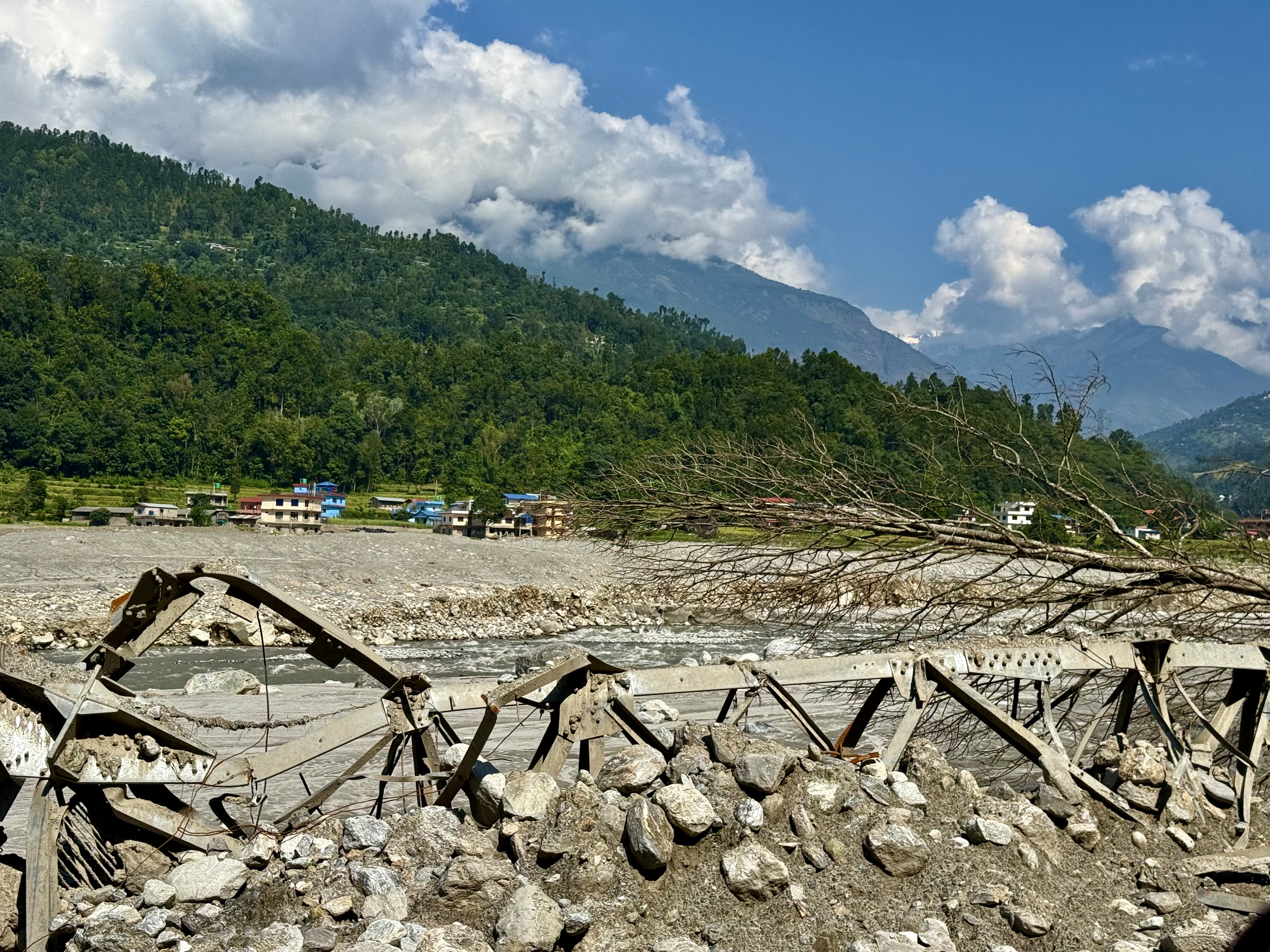
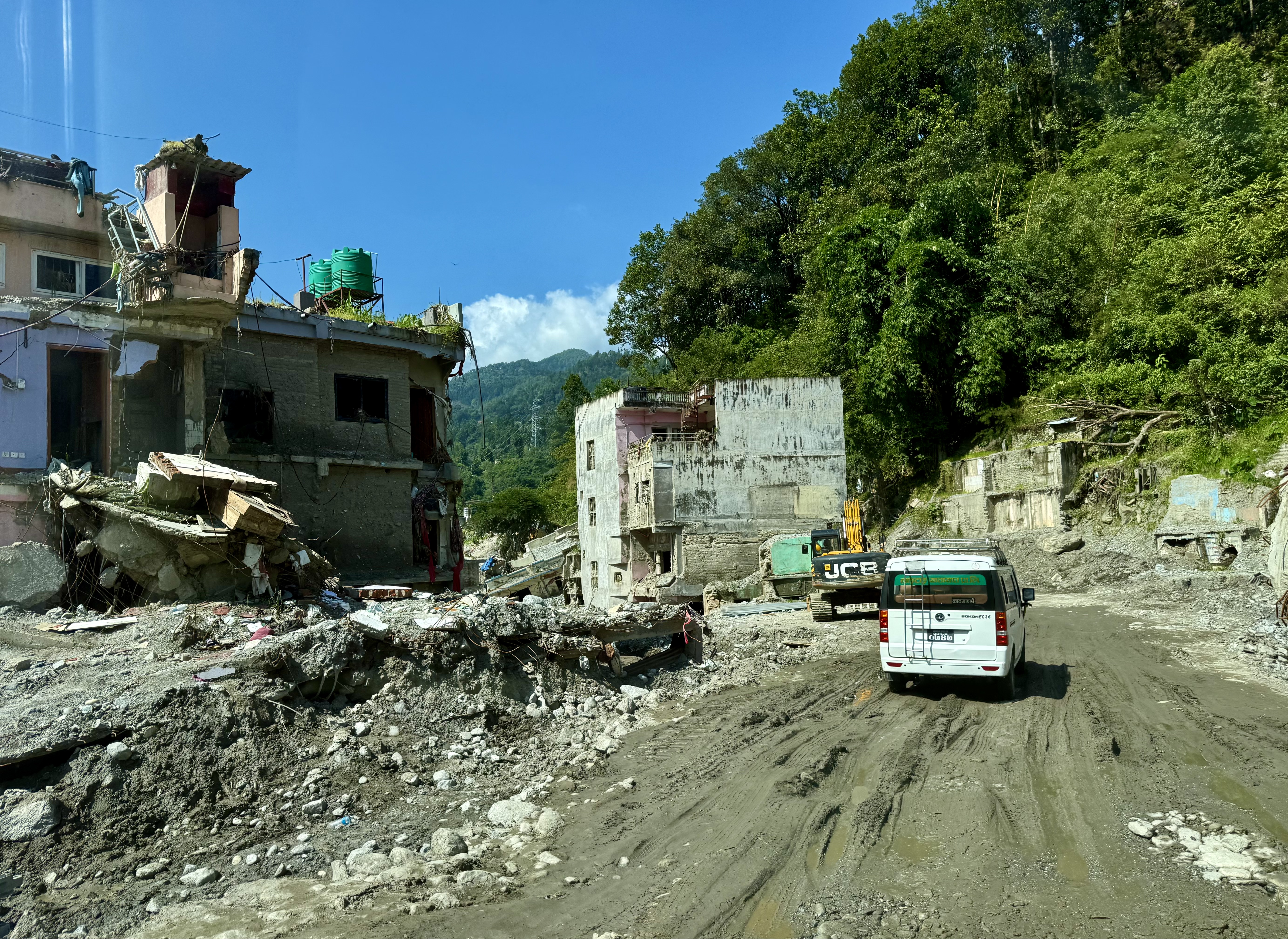
Over the past 26 years that I have been coming to Nepal, the changes made in the last two years have left me astonished. The roads have improved, the internet works, business seems to be booming and houses – perhaps too many for the Kathmandu Valley – are springing up like mushrooms. Yet, Nepal lives on tourism, and tourists come to the country for the highest mountains on the planet, and it is these mountains that are slowly crumbling as the glaciers retreat. In the six weeks between the Flashflood and our trek, four other major floods damaged infrastructure, towns, swept houses away, and obliterated access to trails in various parts of Nepal. Luckily, after the August 26th flood, the alert systems work and other than in the landslides, there has been no more loss of life from floodwaters. It was heart-wrenching to see the devastation the Flashflood caused along the Trisuli River. Houses uprooted from their foundations and moved downstream filled with concrete-like mud/sludge, warped and broken metal bridges stuck in the muck, porches torn off from their structures, etc. etc. The damage is really unimaginable. And yet, this is only the physical side. The loss of life, over 1,300 people with over 5,000 still missing and the loss of livelihood – the fields, cattle, goats and chicken – were ripped away with no way to rebuild or restock is another facet to the tragedy.
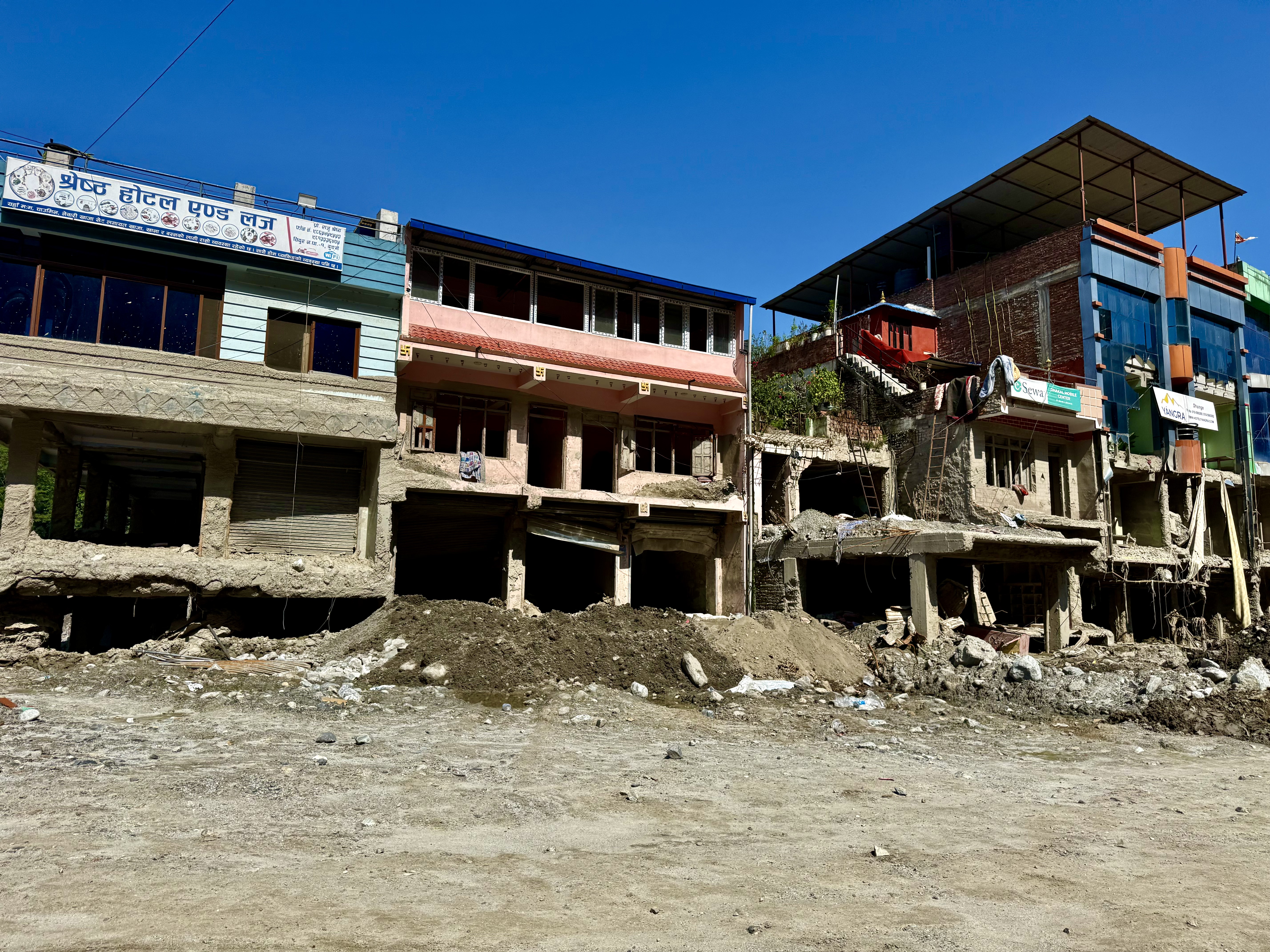
The first day of the trek had us passing through the devastated scarred area. We were incredibly lucky that the army had created a new temporary road along the riverbed and had opened the new bridge connecting the lower valley with Dhunche in the foothills the night before we arrived. This bridge is what made the trek possible. The windy, but decent, road to Dhunche offers views of the ruins below. Family members who were caught in the flood, whether found or still missing, have been honored with cremations by the side of the road. From Dhunche, the new alternative road to the new starting point, Thulo Syabru, is a jeep track. It is not as bad as the roads in Spiti or Kinnaur, but it isn’t particularly good either – unless it hasn’t rained. In this case, my guess is it would be fine. The normal start of the trek would be in Syabrubesi, which lies near the river, but that town simply no longer exists.
We said good-bye to our expert driver, Ganesh, who was going to drive the entire 8–9-hour drive back to Kathmandu that day so that he could pick up another transport tomorrow. Nepalis work very hard for very little monetary gain.
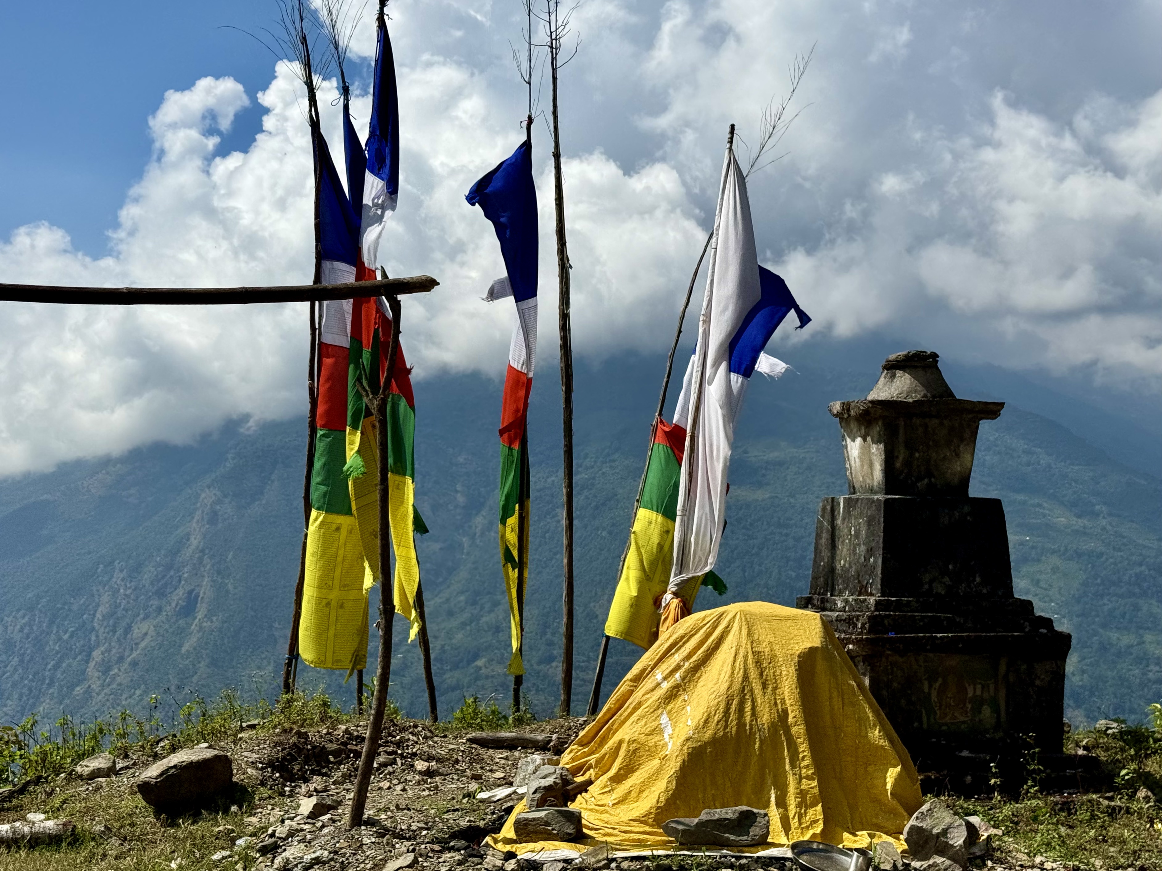
Thulo Syabru is a small hillside village that serves as a starting point for a number of treks in the region, not just for the Langtang Valley. In the core area, it appears there are more guesthouses than residential buildings, and even those offer homestays. People here and all along the upper river valley are dependent upon obtaining supplies from below. Many of the residents’ family members worked in Syabrubesi and Trisuli Bazar, two of the washed away towns. The lama who blessed us for a successful journey the next day, had lost his son in the flood. In one way or another the disaster touched everyone living in the valley and along the hillsides.
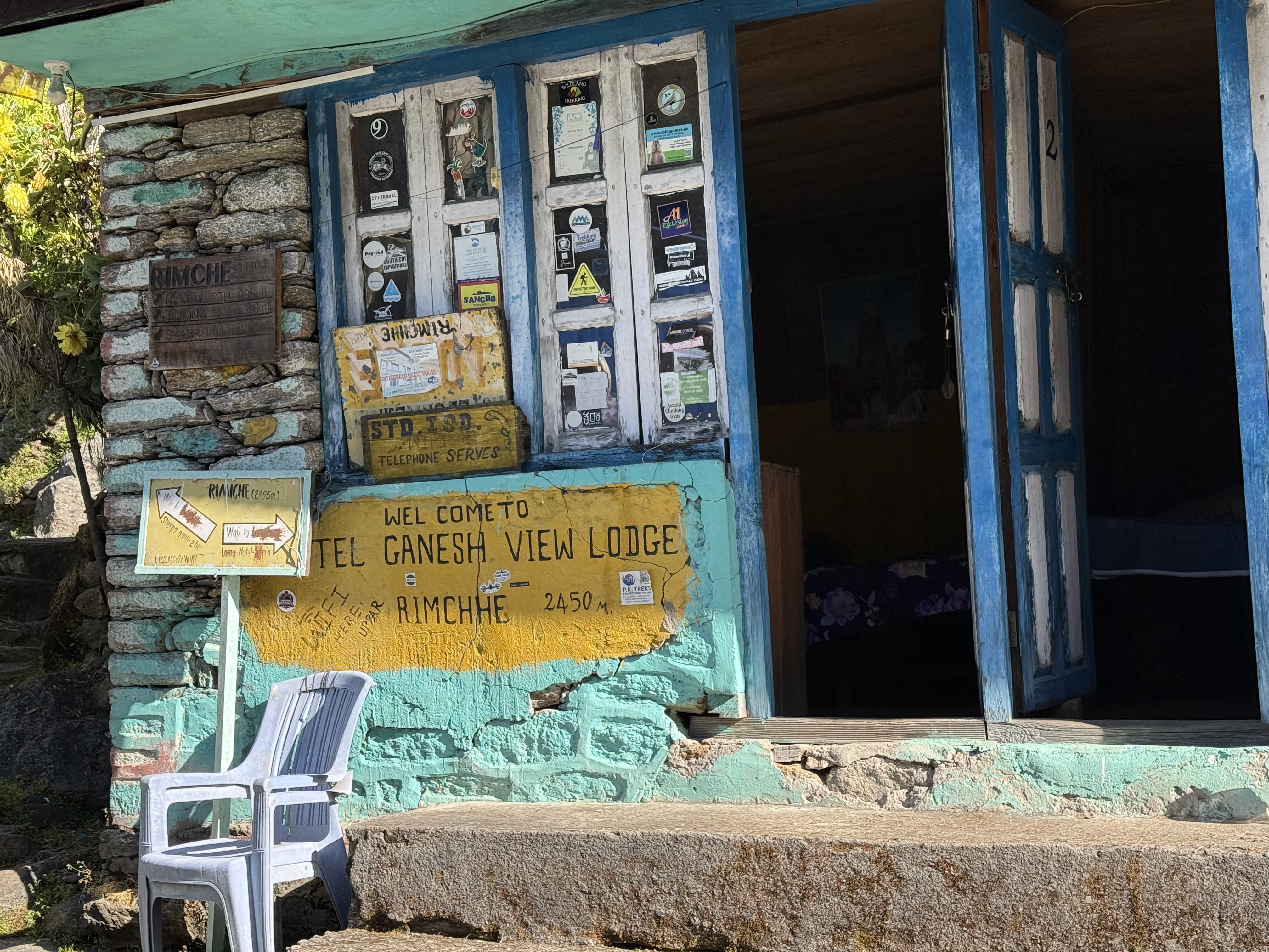
The first day of actual walking entailed more ups and downs than I could count. It was down from Thulo Syabru to a suspension bridge, then back up to go down again to the river, walk on a very newly constructed stone path by the side of the raging river, to go back up the hillside and cross a rock/boulder strewn landslide area. This went on all morning, until we finally reached Bamboo and could connect with the original route. The route has a number of tea houses and guesthouses lining the path, almost all of which were closed when we were there because there were very few intrepid souls who were trekking in the region and because it was the Dashain Festival, when all Nepalis celebrate with their family. Many of the teahouse owners and workers headed into Kathmandu for the festival. We spent the first night in a very rustic guesthouse in Rimche, but it did have a functioning good hot water shower (which I needed after the day’s activities!).
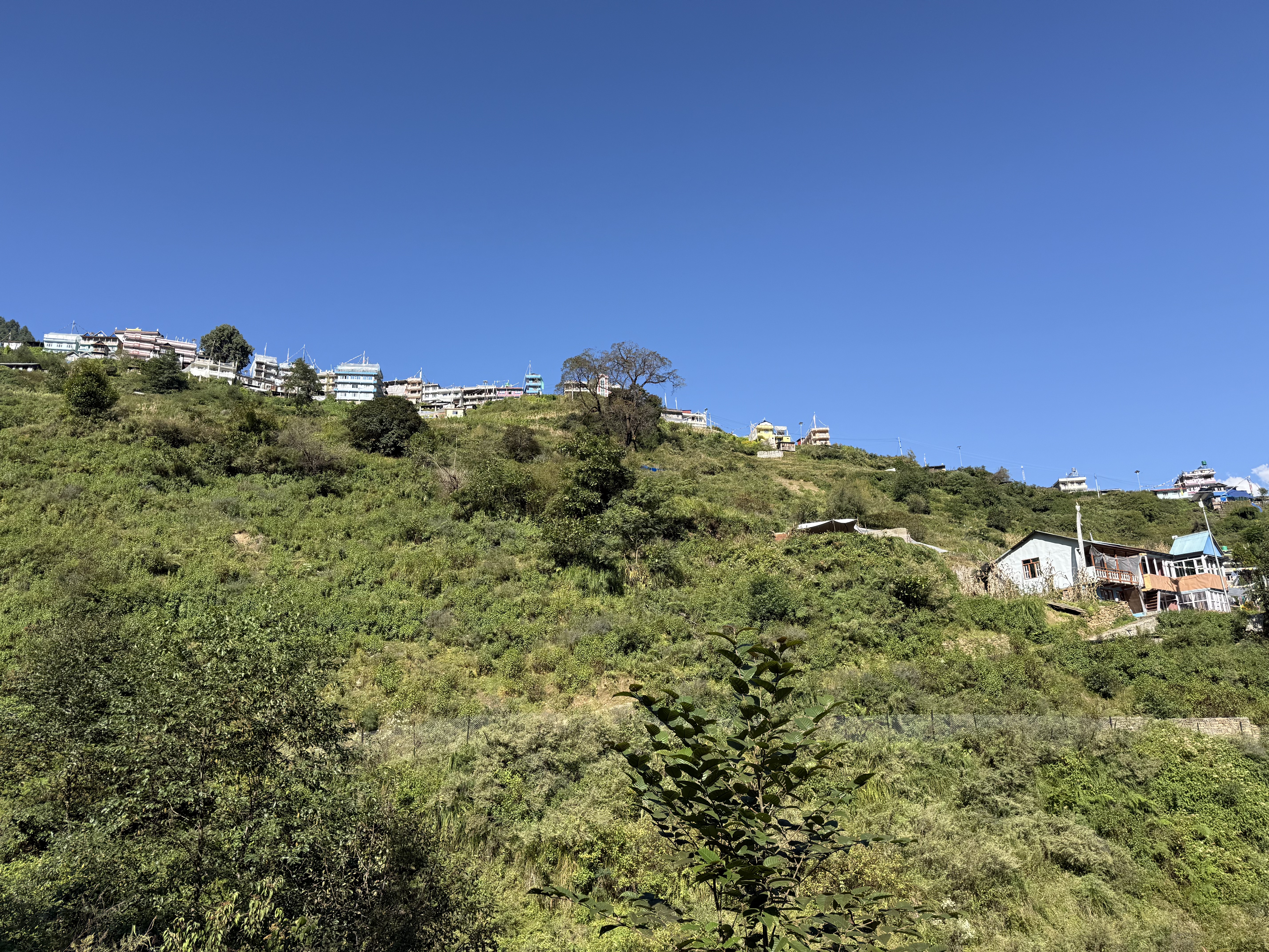
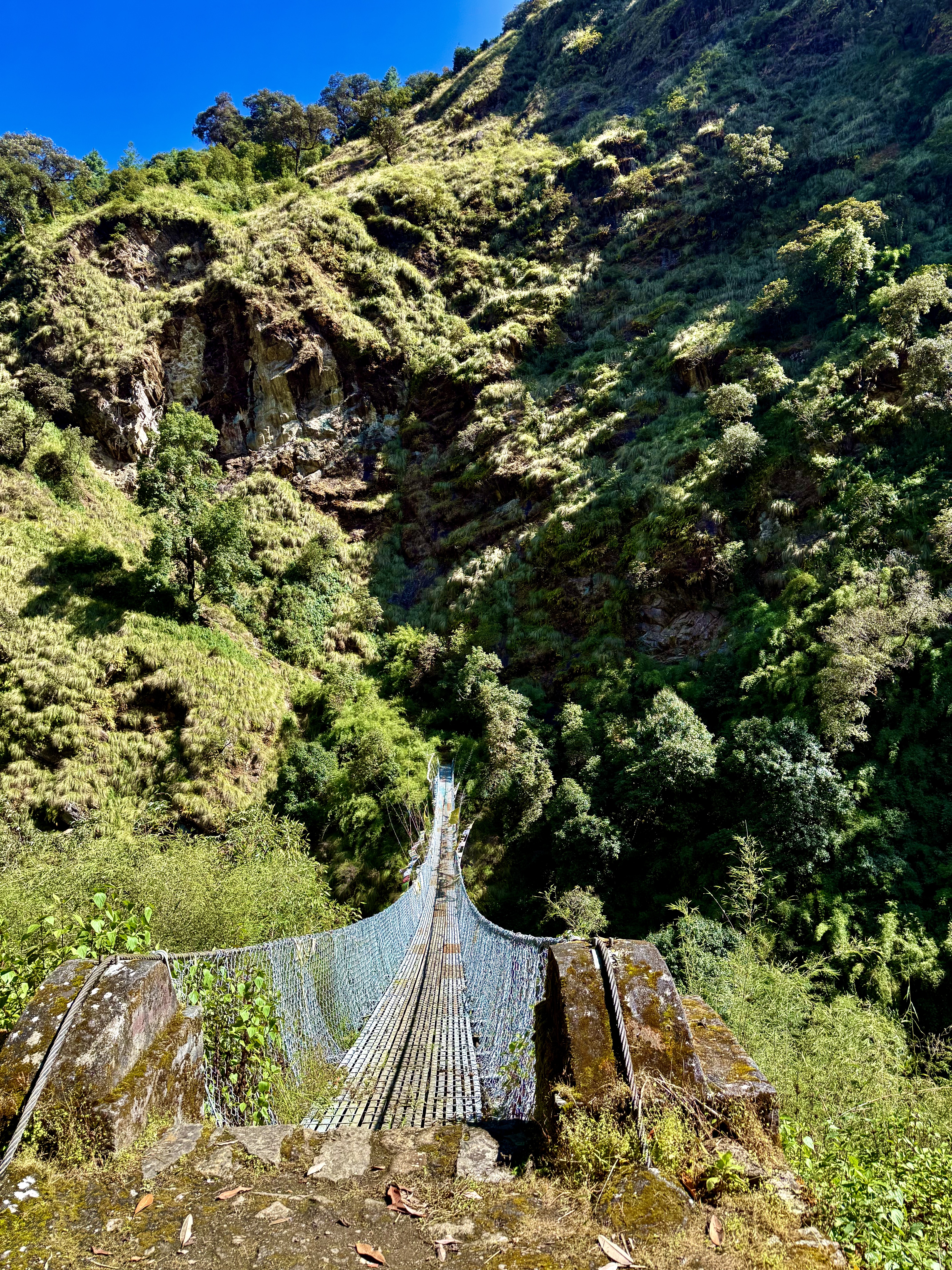
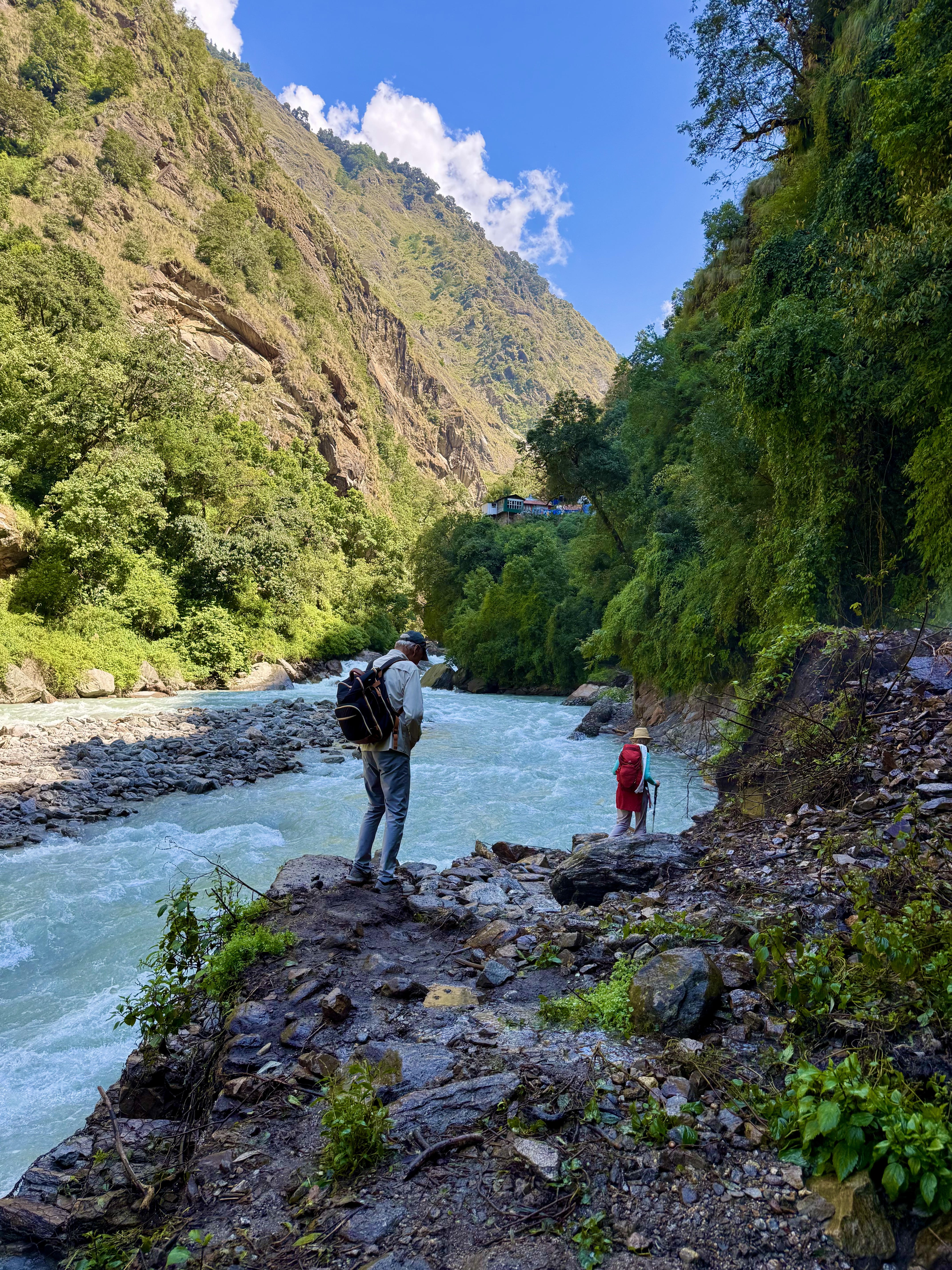
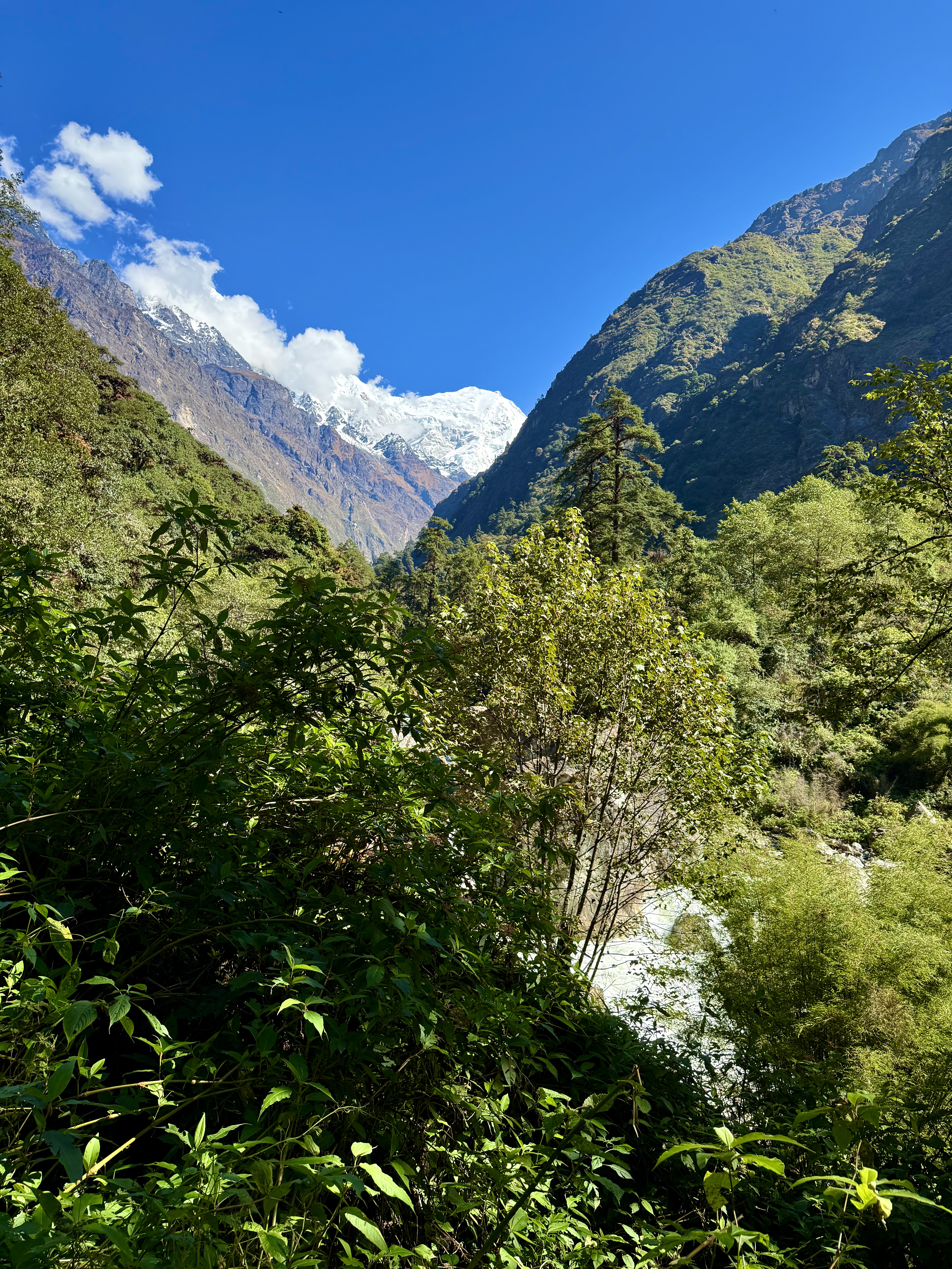
The next day’s hike entailed a fair number of Himalayan stone staircases, which means locals caring for the trails have put rocks together to form stairs, but these are uneven in height and sometimes not particularly stable. Himalayan stone staircases are tiring – even for trekkers in their twenties, much less those of us in our seventies! On the other hand, during the monsoons, they are better than the mud that would eat a boot. There were ups and downs and up again throughout the day, but none of them was as long or as steep as the ones the day before. As the trail goes along the river basin, the vegetation can be fairly thick and with the altitude progression, changing. The bamboo forest gave way to a more alpine feel. What was especially noticeable was the sheer number of rockslides all along the way. We made it to Langtang Village in late afternoon and spent the night there.
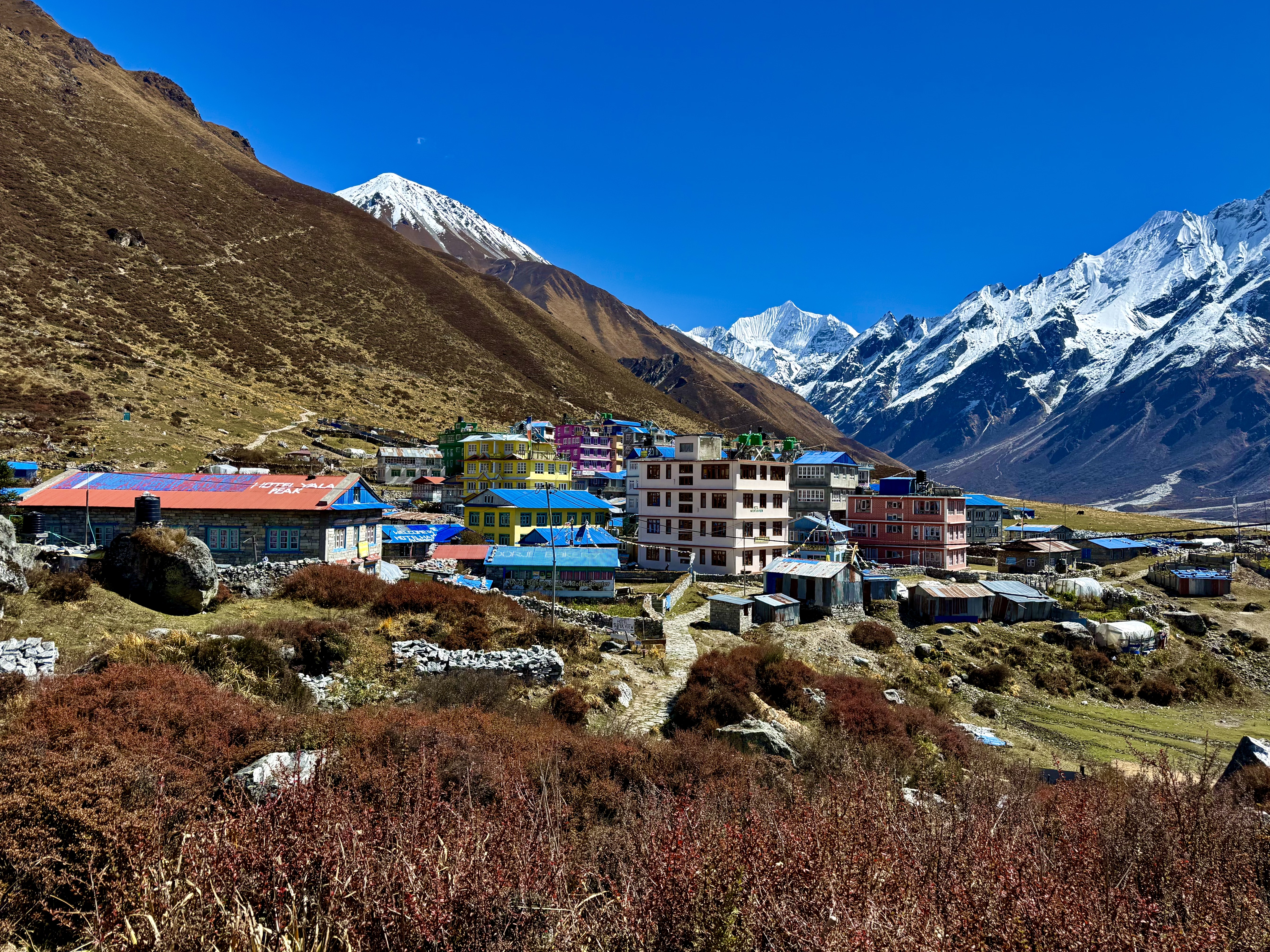
The next day, was only a half day hike to Kyanjin Gompa. Many of the descriptions that I had read ahead of time, said that it was a flat walk – well, it’s Himalayan Flat, which means there are still moderate ups and downs throughout. There is, however, no comparison to the first day’s hike!
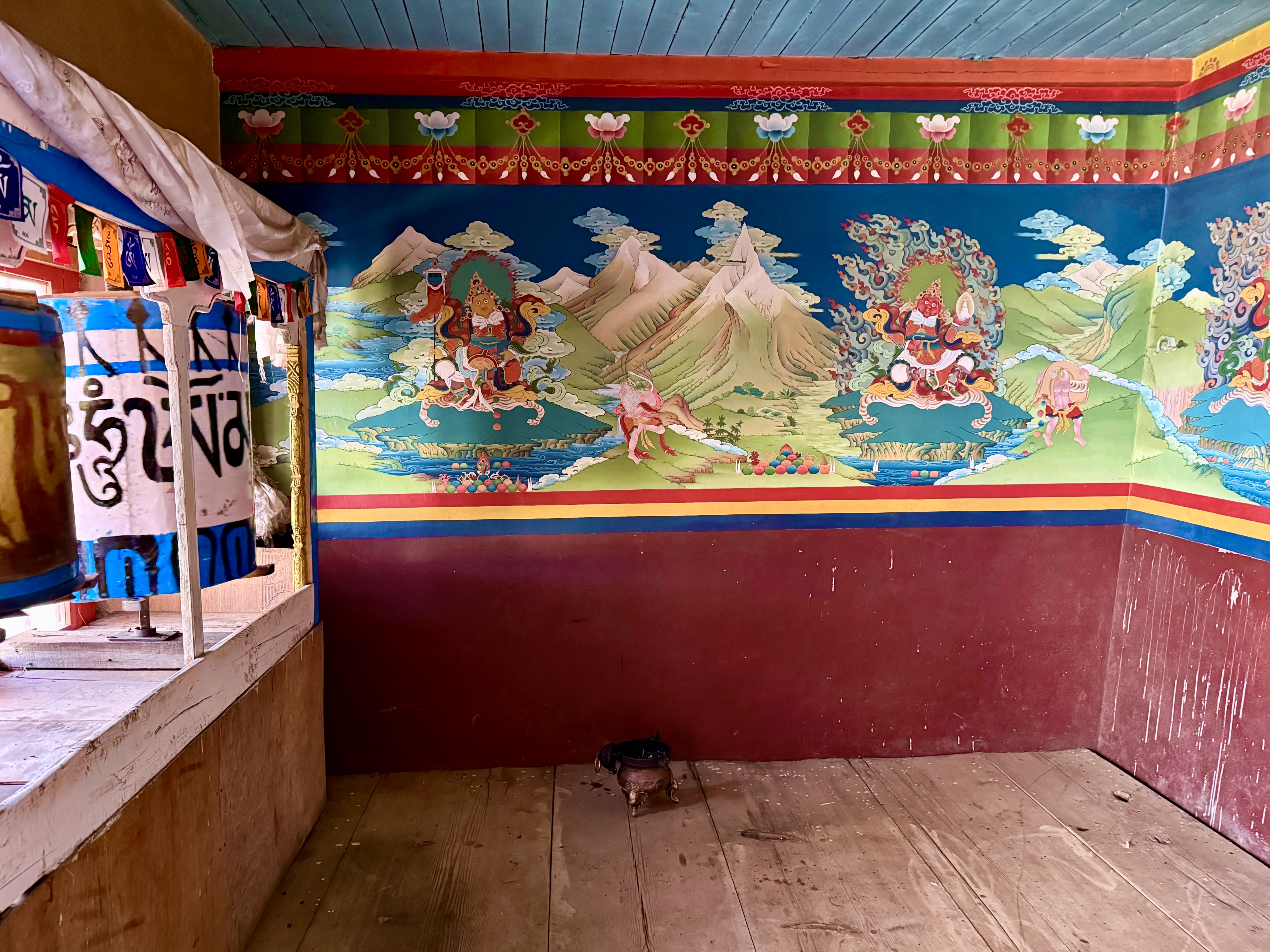
Once in Kyanjin Gompa, I went to visit the 500 year old monastery, but the inner temple hall was closed. I could only get some images of the Dharmapalas in the antechamber. This Gompa is apparently not used by the villagers, but by the few monks there. For the festival celebrations, the villagers headed back down to Langtang Village to pray at the Buddhist Temple there. They almost always have a shrine dedicated to a Buddha or Bodhisattva in their home. The Tamang people of the Langtang Valley are Tibetan origin and speak a variation of Tibetan along with standard Nepali.
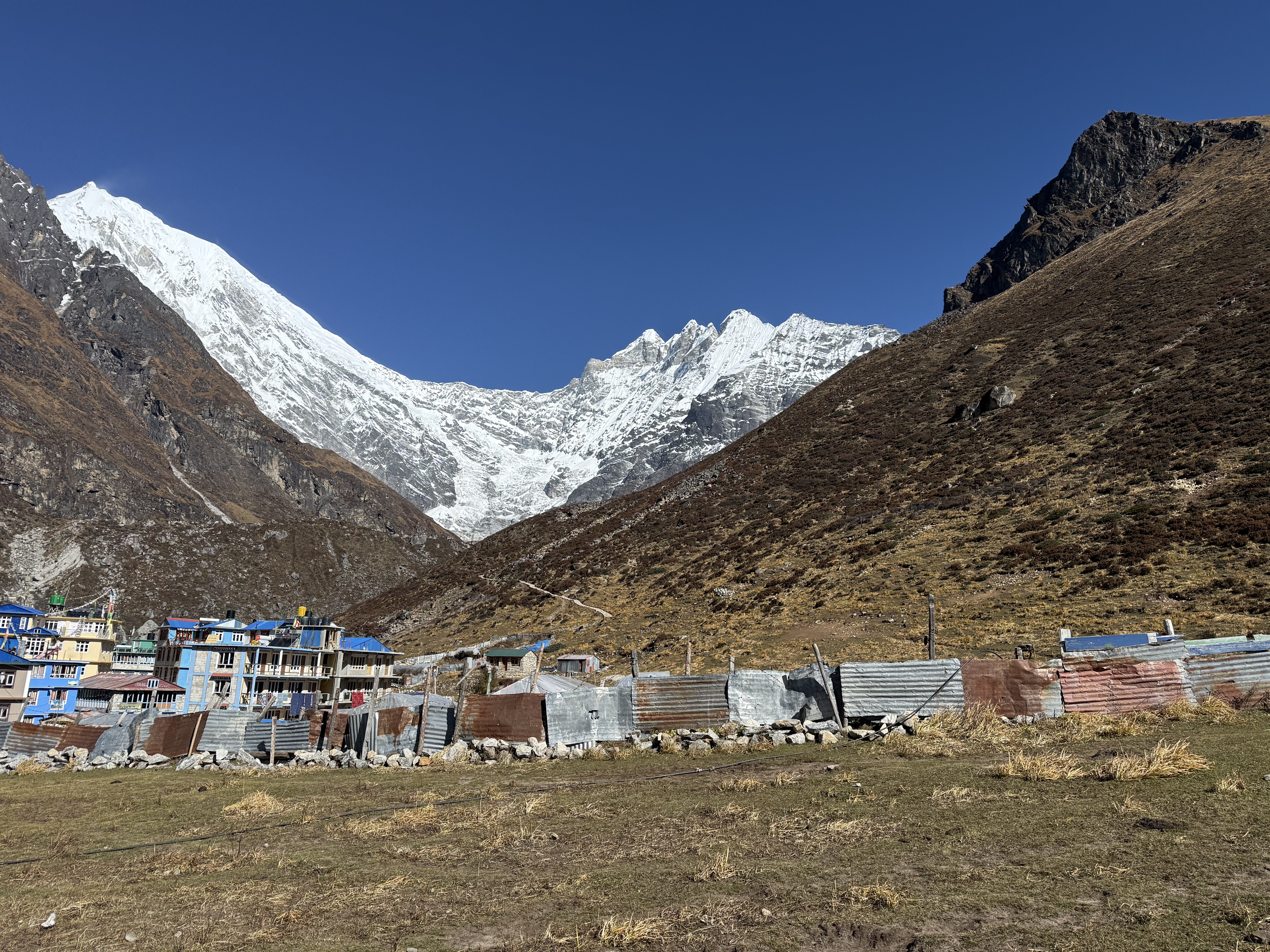
When we arrived at the Namaste guesthouse, the owner apologized for not having everything on the menu. Their supply chain for food products had been cut off by the flood. They had no eggs, for example, as it is too cold at 3850m for chickens to survive. They only had powdered milk as it wasn’t the right season for the naks, female yaks, to give birth. They had run out of lemons, because the few trekkers who made it up (including me) wanted honey, lemon, ginger tea for their colds or sore throats. I have to compliment him and his staff, though, they did a tremendous job with the little they had to work with.
The next morning, Rebecca and I along with our guide, KarKey, headed up the mountain behind town, Kyanjin Ri. For the first part of the path, locals had recently laid a stone path. Shortly before the placed stones ended, they were formed into a delightful seating bench overlooking the valley. Soon thereafter, a series of sharp zigzags led up the steep slope. In all it took about 2 ½ hours to get up to the lower overlook at 4,400m. It took so long, because I had a very hard time breathing. Rebecca was fine, so it was just me. It turned out I was getting a nasty cough and cold and that was slowing me down.
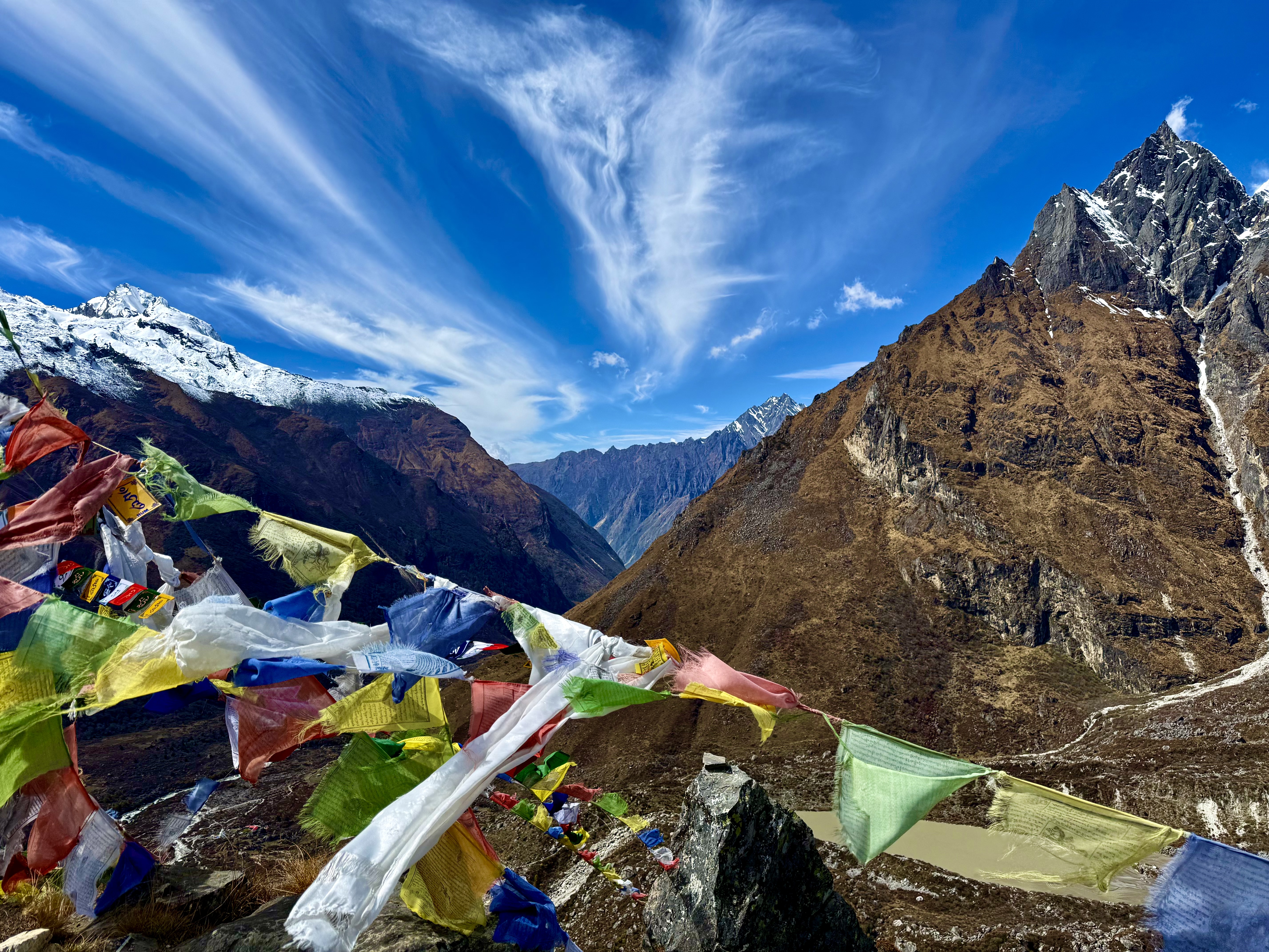
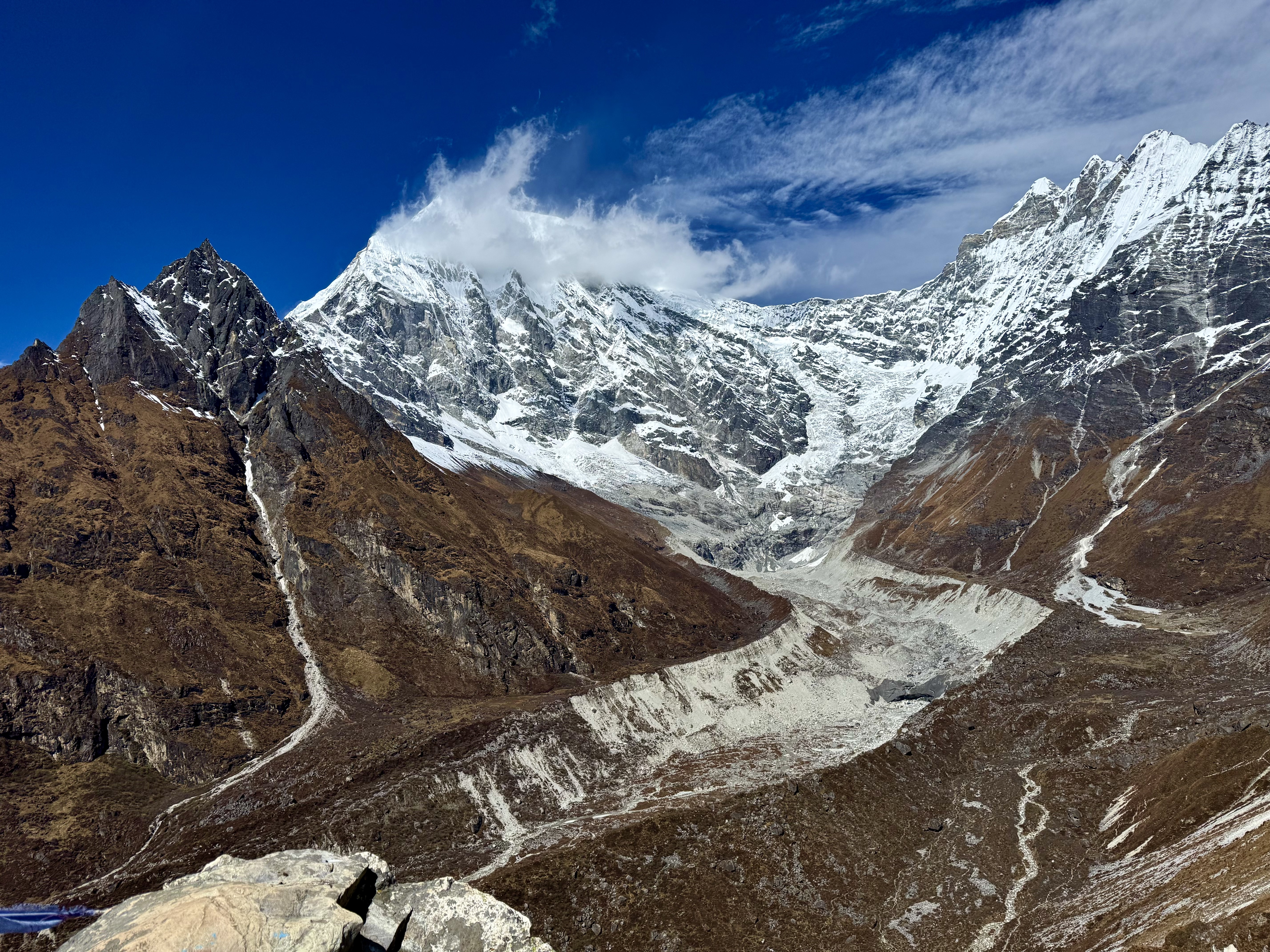
The view from the lookout is stunning, and I was told that the higher viewpoint at 4700m doesn’t offer a much different perspective. Across the valley the white glaciated peaks glistened in the sunlight. Directly in front of us was Langtang Lirung, the mountain that caused the 2015 earthquake that destroyed the village of Langtang. Over 900 people lost their lives that time. This year, it was the mountain’s north face, which is in Tibet, that partially collapsed causing the flooding in both Tibet and Nepal. Today, it still towers over the village of Kyanjin Gompa.
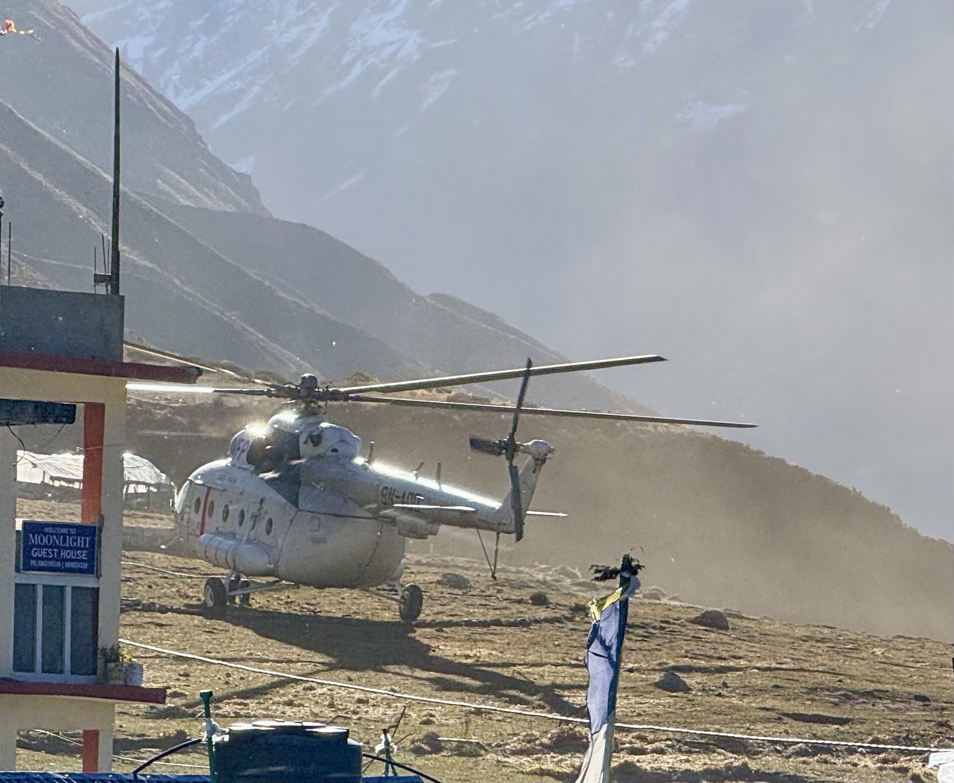
The collapse of the mountain and subsequent flood has caused unbelievable hardships and suffering to the people of the region. The folks in the upper valleys are now reliant on relief aid helicopters, such as the one from the World Food Program that we saw delivering rice and cooking oil. We had booked the tour as a hike in-heli out venture and were fortunate to have done so. The empty heli coming in, wasn’t empty at all, because the guesthouse owner’s wife, who had been in Kathmandu for the beginning of the Dashain Festival was able to hitch a ride and bring needed kitchen and cleaning supplies with her.
The trek was physically strenuous. The blogs and reviews I had read before going, kept saying it was a beginner’s hike and easy. It’s not. It is doable, though, even for someone in their 70s with a recent hip replacement. It is also a beautiful hike. The scenery varies from forest to alpine meadows and beyond. In the end, I was very glad we did the Langtang Valley vs. the Mardi Himal as it seems that the majority of people who would have done Langtang, got scared and did the other instead, creating a great deal of traffic on the trail. We saw people each day, but there were only a few trekking groups on the same path. It was a quiet, serene, and meditative hike – when I wasn’t struggling for breath as on Kyanjin Ri. It is important for tourists to visit Nepal and do treks like the one in Langtang Valley. The folks in Kyanjin Gompa, for example, have taken out huge mortgages to build all the new guesthouse accommodation to handle last year’s tourist boom. This year, given the climatic and geological changes, very few people arrived in October, which is usually the height of the high season. The people need tourists to come to be able to pay their mortgages each month, which is due whether there is a disaster or not.
The Himalayas are crumbling. I saw this in the land and rockslides in Himachal Pradesh as well as throughout the Langtang Valley trek. If we want to preserve them, and by so doing, ensure that millions of people downstream have access to water that flows in a more or less regulated fashion, then we must act now. The Nepali Prime Minister’s speech in front of the UN General Assembly is a cry for justice, not just for Nepal, but for all of Southeast Asia. https://mofa.gov.np/content/1890/address-by-the-rt–hon–prime-minister/
Donations to the Prime Minister’s Disaster Relief Fund are needed: https://pmdrf.nchl.com.np/
Accompanying Videos at:
Langtang Valley Trek Day 1: Crossing the Flood Plain
Langtang Valley Trek: Thulo Syabru to Kyanjin Ri
I

